Shōbōji Kofun: A Keyhole-Shaped Burial Mound in Japan


Site at a Glance
- Rating
- 4
- Popularity
- Very Low
- Country
- Japan
- Primary era
- Classical
- External website
- Open
- Eras represented
- Classical
- Civilizations
- Yamato
- Site type
- Burial
- Remains
- Burial Mound
On this page10 sections
History
Shōbōji Kofun is a Japanese burial mound in Nishio, Japan, in the Kira area near the mouth of the Yahagi River and facing Mikawa Bay. Built in the early part of the middle Kofun period, around the late fourth to early fifth century, it is a keyhole-shaped mound associated with the maritime routes of the bay. Its burial facility has not been investigated, so the person buried within it remains unknown and no grave goods have been confirmed.
Construction and maritime setting
The mound stood on what is thought to have been a peninsula extending eastward from an independent hill. During the Kofun period, the coastline may have reached as much as 10 kilometers farther inland than it does today. Sediment carried by the Yahagi River gradually transformed the area into land. This setting places Shōbōji Kofun beside an ancient waterway and suggests that its occupant may have controlled water transport across Mikawa Bay and possibly Ise Bay.
The mound’s position has also shaped interpretations of regional politics. Together with Takarazuka No. 1 Kofun in the Ise region, where elaborate boat-shaped haniwa were found, Shōbōji Kofun has been viewed as evidence of strong influence from the Kinai polity. Kinai was the political heartland of the emerging state in central Japan. In this interpretation, the mound belonged to a wider effort to secure routes leading toward eastern Japan.
Recognition and archaeological investigation
Shōbōji Kofun first became widely recognized as a kofun, a monumental Japanese burial mound built mainly between the third and seventh centuries, through a survey by Oguri Tetsujiro. His plan identified it as a keyhole-shaped mound approximately 89 meters long. A new survey followed in 1985. Renewed surveying and 11 archaeological trenches in 2001 and 2002 then examined the mound’s extent and construction more closely.
The mound was designated a National Historic Site of Japan in 1936, and the protected area was enlarged in 2004. These measures preserved the mound as an archaeological site while allowing its unusual shape, construction methods, and relationship to the ancient coastal landscape to remain central to its interpretation.
Temple, communal land, and modern conservation
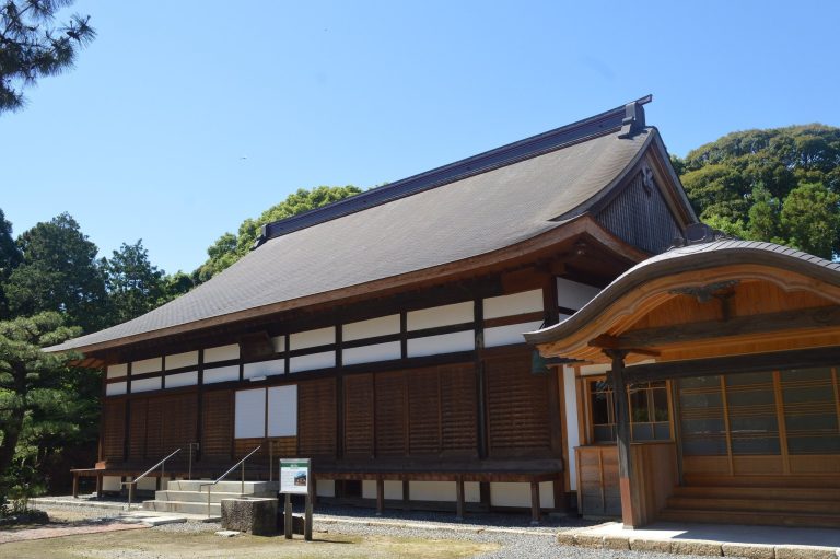
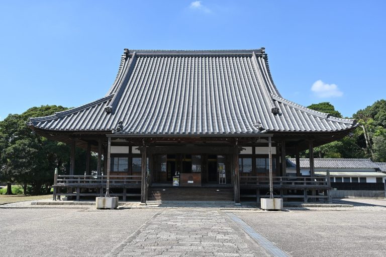
The kofun takes its name from nearby Shōbōji Temple. Tradition holds that the temple was revived with Ashikaga support in the early Muromachi period as a branch of Hōraiji in the Shingon Buddhist tradition. Shingon is an esoteric form of Buddhism. The temple changed to the Sōtō school, a Zen Buddhist tradition, in the early Edo period. From 1702, it served as a place of prayer for the Tsuda hatamoto lords, direct retainers of the shogun, and received a Buddhist offering of 10 koku. Since the Edo period, local residents have venerated its Yakushi Buddha, the Buddha associated with healing, especially for eye diseases.
During the Edo period, the mound and the land south of it formed part of Okkawa Village’s communal property. Residents gathered grass, leaves, fertilizer materials, and firewood there. The surrounding land was given to Shōbōji Temple in 1907, while the pine-covered mound remained protected from cultivation, probably because it continued to be communal land. Rights to gather fallen leaves on the mound were auctioned until around the prewar period.
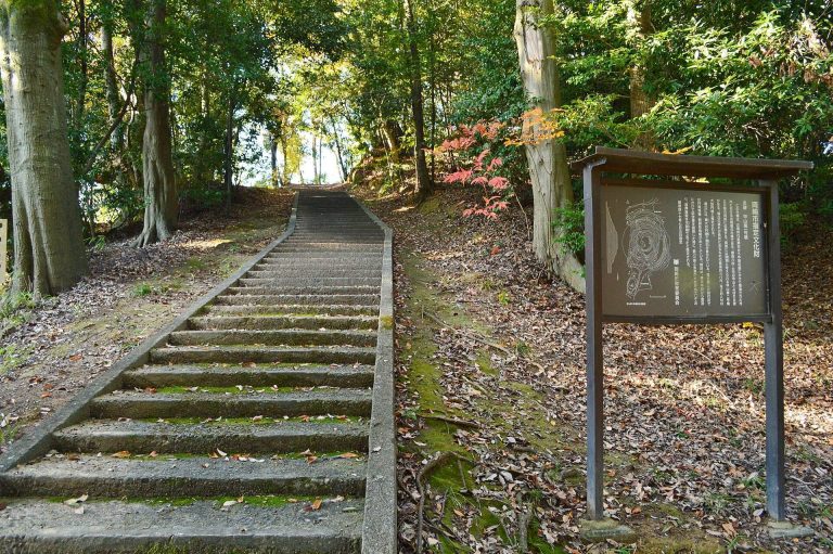
The surrounding area was developed as Yoshida Park in the early Shōwa period. The Isewan Typhoon caused extensive damage in 1959, after which the park became neglected and overgrown. Kira Town’s education authority redeveloped the area as Shōbōji Kofun Park in 1989 through the Furusato Creation Initiative. Nishio’s education authority has planned public acquisition of land within the historic-site area and further conservation work, including the retention of views toward Mikawa Bay and a satoyama-like landscape.
Remains
Mound layout and construction
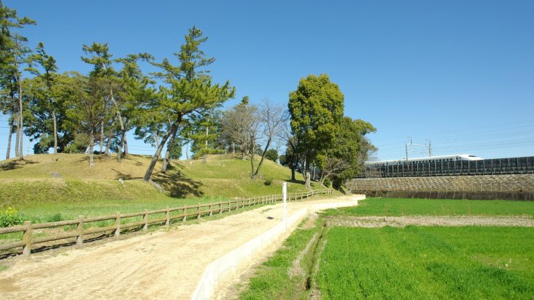
Shōbōji Kofun is a three-tiered zenpō-kōen-fun, the characteristic keyhole form that combines a circular rear mound with a rectangular front projection. The front end lies obliquely to the main axis, and its two sides are not symmetrical. Measurements vary according to the point used. The total length is 94 meters from the eastern foot of the rear section to the northwestern corner of the front section, 90 meters along the main axis, and 85 meters to the southwestern corner.
The circular rear section measures 65.5 meters across. The narrowed central section is 44 meters wide, while the front section reaches 56.5 meters in width. The summit of the rear section stands at 28.8 meters, and that of the front section at 26.6 meters. The bases of the first-tier stonework range between 18.9 and 20.4 meters in elevation. The irregular outline and angled front are understood as adaptations to the natural hill, allowing the builders to enlarge the mound within the available ground.
The first and second tiers were formed mainly by cutting and shaping the natural earth. Most of the third tier was built up with added fill. Almost all of the facing stones, known as fukiishi, were made from locally obtained gabbro, a coarse-grained igneous rock. Hills within approximately two kilometers are formed of the same rock, and the reddish-brown clay soil in the area is attributed to iron within the gabbro.
Ritual installations and objects
Island-shaped installation
A corner-like feature was found at the southern side of the narrowed section. It has been interpreted as an island-shaped installation and is thought originally to have been square. Its position resembles the projecting platform, or tsukuridashi, found at kofun of the same period. Such a platform formed a special area set apart from the mound, although the particular ritual purpose of this feature is unknown.
Haniwa
Cylindrical haniwa, clay cylinders and funerary figures placed on or around burial mounds, were recovered from every trench. None remained in its original position. Figurative haniwa depicting a ceremonial umbrella, a house, and an unidentified object were recovered mainly from soil washed down to the foot of the third tier. Their distribution indicates that these figures originally stood on the summits of both the front and rear sections.
The haniwa belong to the early middle Kofun period. They are contemporary with the stage represented by Nakatsuyama Kofun and fall within Phase III of the Kawanishi chronology, a system used to classify developments in Kofun-period mound construction and objects.
Sue ware vessel
A Sue ware vessel was found in a trench passing through the rear section. Sue ware was high-fired ceramic pottery produced in Japan during the Kofun period. The vessel is interpreted as a small ritual stand and belongs to the later stage of the TK-73 type. Comparable examples are rare, with only a few known in Japan.
The vessel is later than the date indicated by the haniwa, so it cannot certainly be identified as an object placed when the mound was completed. Its position suggests that it may have fallen after being offered on the summit of the rear section. Together, the vessel, haniwa, stone facings, and unusual southern installation provide evidence for the mound’s construction and ritual use while leaving the identity of its occupant unresolved.