Shiwa Castle: An Early Heian Frontier Administrative Center in Japan


Site at a Glance
- Rating
- 4
- Popularity
- Very Low
- Country
- Japan
- Primary era
- Medieval
- Eras represented
- Medieval
- Civilizations
- Unclassified
- Site type
- Military
- Remains
- Fort
On this page12 sections
History
Shiwa Castle is an early Heian-period fortified administrative center in Morioka, Japan, built in 803 by the imperial commander Sakanoue no Tamuramaro in the jōsaku style. The Heian period was the era of Japanese imperial rule traditionally dated from 794 to 1185, and Shiwa Castle was established near its beginning as a base for extending court authority into northeastern Japan.
Imperial expansion in the northeast
Tamuramaro built Shiwa Castle after defeating the Emishi leader Aterui in 802. The Emishi resisted the imperial court’s expansion into northeastern Japan, and Aterui surrendered after Tamuramaro’s campaign. The castle stood near the meeting point of the Kitakami and Shizukuishi Rivers, north of the Kitakami River, where it supported the court’s military, administrative, and civil authority.
Shiwa Castle was the northernmost jōsaku in Mutsu Province. These settlements were fortified administrative or military centers with planned enclosures, earthen defenses, gates, government buildings, and facilities for troops. The castle formed part of a sequence of frontier foundations created by Tamuramaro. He built Isawa Castle in 802 and Shiwa Castle in 803.
The Chinjufu and the end of the castle
The Chinjufu, the imperial military headquarters responsible for frontier defense and administration in northeastern Japan, may briefly have been located at Shiwa Castle. It was transferred to Isawa either when Shiwa was built or within a few years. This limited the castle’s role as the principal military headquarters, although it remained part of the court’s northern administrative system.
Flooding from the Shizukuishi River damaged the castle and destroyed its northern section. Its functions were then moved southward to Tokutan Castle, built in what is now Tokuda in Yahaba. Shiwa Castle ended its role after approximately ten years, in 811.
Rediscovery and preservation
The location of the Shiwa Castle mentioned in the Nihon Kiryaku remained uncertain for a long period. The place-name Hōhatchō in Ōta, understood as meaning approximately “eight chō square,” corresponded to the site’s large square enclosure and became important evidence in identifying the ruins.
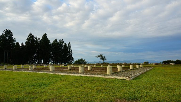
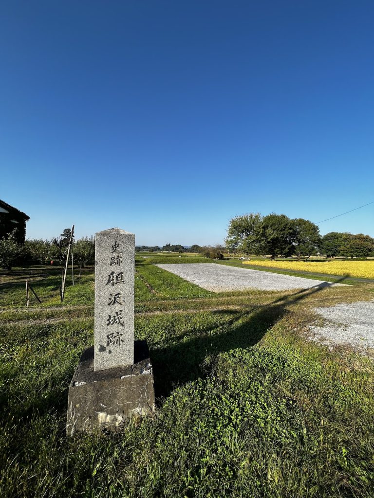
Investigations by the Iwate Prefectural Board of Education in 1976 and 1977, undertaken during construction of the Tōhoku Expressway, revealed compacted-earth walls, a large ditch, and remains of pit dwellings. Later surveys established the extent of the settlement. The ruins became a National Historic Site of Japan in 1984. Morioka began reconstructing the site in 1991, and the area was developed as Shiwa Castle Ancient Park. The Shiwa Castle Ruins Preservation Association manages the reconstructed area, which uses ancient construction techniques and extends from the southern outer enclosure toward the administrative and government-office zones.
Remains
Shiwa Castle occupied a large square site near the confluence of the Kitakami and Shizukuishi Rivers. Its defenses combined compacted-earth walls with an outer earthwork system and a large ditch. Within the enclosure, a central administrative compound, government offices, an avenue, and groups of pit dwellings formed a planned frontier settlement. Several gates, wall sections, watchtower structures, and buildings have been reconstructed, while the site as a whole remains only partially reconstructed.
Outer enclosure
Walls and ditch
The principal square enclosure measured approximately 840 meters on each side and was defined by walls made from compacted earth. A larger earthwork system extended to approximately 928 meters square and was accompanied by a substantial outer ditch. Watchtowers stood across or along the wall at intervals of about 60 meters, strengthening the defenses and controlling movement around the perimeter.
Gates and watercourse
A gate stood at the center of each side of the outer enclosure, facing north, south, east, and west. The southern entrance was a five-bay gate with one opening. The northern part of the enclosure incorporated a small river or watercourse, which may have served as a canal for transporting supplies, although that use remains uncertain. A surviving step or change in height along the northern edge is thought to have formed when the Shizukuishi River flooded the site.
Administrative center
Administrative compound
Near the center of the enclosure, slightly to the south, was an administrative compound measuring roughly 150 meters square. A compacted-earth wall surrounded it, and fourteen post-built structures stood within its boundaries. These included a main hall and subsidiary halls on the east and west. The compound’s South, West, and East Gates have been reconstructed, together with gate structures incorporating watchtowers.
Government offices and avenue
Government-office buildings surrounded the administrative compound. A principal avenue about 18 meters wide connected the South Gate of the outer enclosure with the compound’s South Gate, creating a direct approach to the center of administration. Some government-office buildings have also been reconstructed using techniques associated with the ancient site.
Barracks and workshops
Groups of pit dwellings occupied a zone approximately 108 meters wide along the inner side of the outer enclosure. These structures are thought to have served as barracks and workshops. Their number is estimated at approximately 1,200 to 2,000, and the scale of their foundations has also been interpreted as indicating a garrison of approximately 1,200 to 2,000 men. Together with the walls, gates, offices, and avenue, these remains show the organized military and administrative layout of the early Heian frontier center.