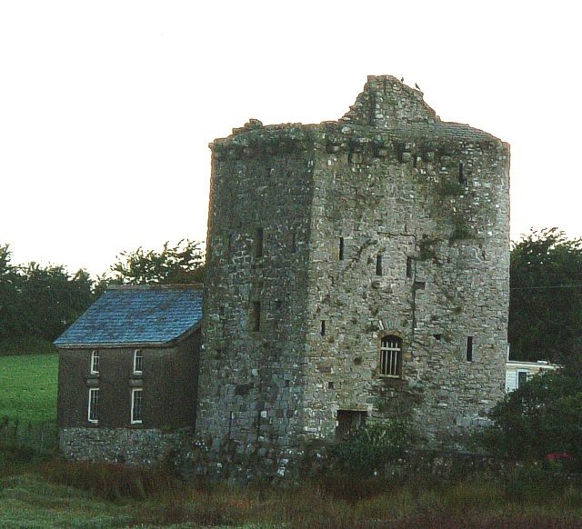
Scoveston Fort: An Inland Defence of Milford Haven
Site at a Glance
- Popularity
- Medium
- Country
- United Kingdom
- Primary era
- Modern
- Eras represented
- Modern
- Civilizations
- British
- Site type
- Military
- Remains
- Fort
On this page12 sections
History
Scoveston Fort is a nineteenth-century British fort at Scoveston in the United Kingdom, built as part of the defenses of Milford Haven. Construction began in 1861 and was completed during the 1860s, following recommendations from a British inquiry into national defense that prompted a major fortification program.
Early defenses of Milford Haven
Milford Haven had served as a landing place for centuries. Vikings arrived in the ninth century and Normans in the late eleventh. In 1405, Owain Glyndŵr, leader of a Welsh revolt against English rule, arrived with French mercenaries. Henry Tudor, who later became King Henry VII, landed there in 1485 before taking the English crown.
Work on two blockhouses, one on each side of the Haven entrance, began in 1539. A proposed defensive triangle linking Thorne Island, Stack Rock, and Dale Point was abandoned in 1595 because it was too costly. During the First English Civil War (1642–1646), fought between Royalist supporters of King Charles I and Parliamentarian forces, Royalists built Pill Fort outside Milford. Parliamentarian forces captured it in 1643.
Plans for a fortified harbor
Further defenses were considered during the Seven Years’ War (1756–1763), a major conflict between Britain and France. A 1757 proposal for six forts was judged too expensive and reduced to three. Work on a fort at Paterchurch Point began in 1758 but stopped before completion after the war ended.
The founding of Pembroke Dockyard at Paterchurch in 1814 created a need to protect the harbor, and forts on the Haven’s banks were completed as part of the Palmerston fortifications, a nineteenth-century British system of defensive works associated with Prime Minister Lord Palmerston. Later, the Royal Commission on the Defence of the United Kingdom, a British inquiry whose recommendations led to a major fortification program, shaped a further plan for Milford Haven. It proposed a line facing the waterway that included Popton Fort, South Hook Fort, Fort Hubberstone, Chapel Bay Fort, and remodelled Stack Rock Fort. A separate inland line was planned to guard against attack from the north, running from Newton Noyes to Burton Mountain. Scoveston was the only fort built on that inland line.
Construction and military use
The fort cost £45,462 to build. It was never garrisoned and served mainly as a training camp for volunteers and militia, part-time forces raised from the civilian population. Its planned guns were not installed, as cost and the declining need for forts in the twentieth century made them unnecessary.
During the First World War, trenches were dug around the fort to guard against a land attack on the dockyards at Milford Haven, Neyland, and Pembroke Dock. The trench system extended from Waterston to Llangwm. In the Second World War, the fort sheltered residents of Neyland during air raids and later stored munitions in preparation for D-Day. In peacetime it stood empty, cared for by a single caretaker.
Remains
Setting and plan
The fort occupies a low hill on the northern shore of Milford Haven, in Llanstadwell parish, northeast of Milford Haven. It lies about 600 m northwest of Little Honeyborough and approximately 1 km northeast of Waterston, with views over the surrounding countryside. Its large hexagonal plan has sides 120 m long. The fort is now overgrown.
Moat and caponiers
A dry moat, about 8 m deep and 11 m wide, surrounds the fort. Its inner face is lined with stone, while the outer face consists of natural rock. Five two-storey caponiers, protected structures used to defend a fort’s ditch, cover the moat: one is double and four are single. Each has openings for four guns and narrow loopholes for musket fire.
Entrance
The sole entrance is on the south side. A winding approach road led to a wooden bridge, later replaced by an earth causeway. The entrance had a drawbridge and a stone archway leading into a tunnel through a massive earth bank. The bank passed through a small gorge.
Interior structures
Accommodation
Quarters for a garrison of 128 were provided in the five caponiers and 12 casemates, vaulted, protected rooms. The casemates have limestone vaults faced with brick, with windows and doors on their south fronts. They were compared with the barracks at Fort Hubberstone.
Magazines
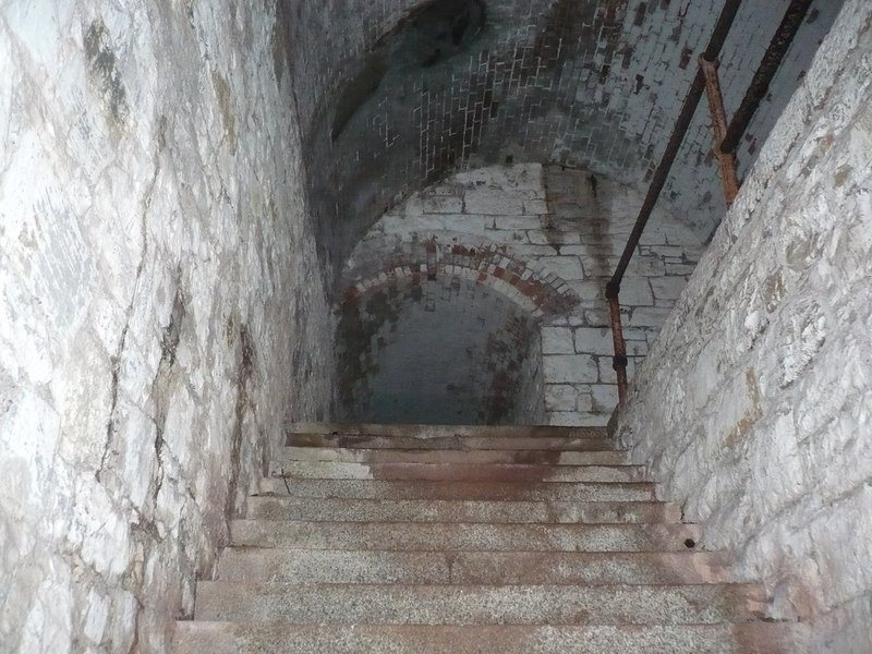
A main magazine lay beneath the northwest rampart. It contained two underground, barrel-vaulted chambers, with a passage running around them to provide lighting and ventilation. Twelve smaller ammunition stores for ready use were set into the traverses, internal earth barriers.
Parade ground and ramparts
An earth bank crossed the center of the parade ground, the open area used for assembly and drill, while a large traverse ran the length of the interior. The raised ramparts were designed to carry 32 guns, with earth behind each position for protection.