Schwalenburg: An Early Medieval Hilltop Fortification in Germany


Site at a Glance
- Rating
- 4.4
- Popularity
- Very Low
- Country
- Germany
- Primary era
- Medieval
- External website
- Open
- Eras represented
- Medieval
- Civilizations
- Carolingian
- Site type
- Military
- Remains
- Fort
On this page8 sections
History
Origins and historical record
Schwalenburg is an early medieval hilltop fortification and ringwork in Germany, near Schwalefeld in the municipality of Willingen. It probably originated between the late eighth and tenth centuries and is associated with either the Carolingian period, the era of the Frankish dynasty linked with Charlemagne and his successors, or the Ottonian period, when the Ottonian dynasty ruled chiefly during the tenth and early eleventh centuries.
The fortification first appears in written evidence in 1537, under the description “the castle at Schwalefeld.” By that time, woodland already covered the site, indicating that the stronghold had ceased to function as an active fortified place before the sixteenth century.
Archaeology and interpretation
Excavations took place at the beginning of the twentieth century. The wall complex was later cleared of vegetation, making its banks, defensive lines, and entrances more legible in the landscape.
In 2012, the Friends of Schwalenburg support association was established in connection with the Willingen Local, Cultural, and Historical Association. Its activities include recording the monument’s condition, carrying out conservation and heritage-management work, supporting public use, and pursuing historical research with universities and colleges. Since 2016, the Ringwallweg Schwalenburg has presented historical information at several points within the former fortification. The signs were developed through the support association’s initiative with scholars and reflect current research on the complex.
Remains
Layout and defensive construction
Schwalenburg occupies the southern slope of the Hegeberg at about 630.2 metres above sea level, while the hill reaches 654 metres. The enclosure covers approximately six hectares and is about 300 metres across. Three concentric wall rings form the main defensive layout, with a combined wall length of roughly 1,700 metres. Reconstructions indicate walls more than two metres thick, strengthened with timber and rising about five metres above the surrounding ground. Parts of the enclosing ditch survive, while other sections have been levelled.
Middle ring
The middle ring is the oldest part of the complex and encloses about two hectares. Its roughly oval circuit now appears as a substantial bank accompanied by an outer ditch. A pincer gate, an entrance narrowed by projecting defensive walls, stands in the northeastern section. Its passage is approximately three metres wide. Another entrance lies on the southern side of the fortification.
Inner ring
The inner ring is nearly circular and measures about 75 to 90 metres in diameter. On its northern side, a gate passage approximately 2.4 metres wide opens through the circuit. Nearby is a steep-sided pit that may have served as a well or as the cellar of a tower; its precise function remains uncertain.
Outer wall
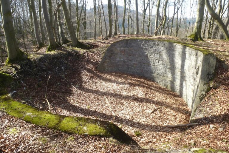
The powerful outer wall begins southwest of the inner ring. It crosses the middle ring before following a broad curve downhill toward the southeast, continuing to the southern end of the complex and then bending northward. Decayed wall fronts and the gates of the inner, middle, and outer rings survive within the fortification.
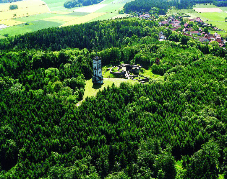
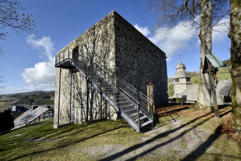
A wooden observation tower, inaugurated in 2009, rises 8.5 metres above the site and gives an overview of the three defensive circuits and their position on the hillside.