Scheidegg Castle Ruins: A Medieval Hill Castle in Switzerland


Site at a Glance
- Rating
- 4.7
- Popularity
- Very Low
- Country
- Switzerland
- Primary era
- Medieval
- Eras represented
- Medieval
- Civilizations
- Holy Roman Empire
- Site type
- Military
- Remains
- Castle
On this page10 sections
History
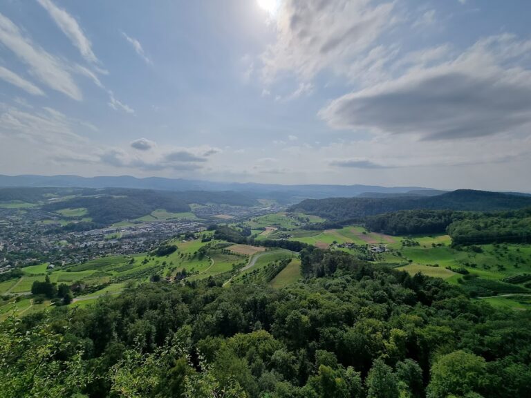
Scheidegg Castle Ruins are the remains of a medieval hill castle in Switzerland, near Tecknau in the municipality of Gelterkinden. The lords of Gelterkinden founded the castle on land they had cleared, with construction beginning between 1220 and 1230. Its original name is uncertain. It is also known as Scheideck, while the sixteenth-century Basel historian Christian Wurstisen recorded the form Heideck.
Foundation and expansion
The castle’s precise purpose remains uncertain, although establishing a local settlement and sphere of power appears more likely than controlling a major road or mountain pass. No important route passed the site. The densely settled rear Ergolz valley and its side valleys nevertheless gave local nobles a basis for extending their influence.
The settlement seems to have been largely self-sufficient. Its inhabitants did not depend mainly on dues from nearby farmers, and their economic independence included metalworking and woodworking. The first building phase created the southeastern part of the complex, including the residential tower. After 1250, a second phase added the northwestern enclosing wall, courtyard, filter cistern, and a building containing stables and living quarters. The residential tower was also divided internally at this time.
Decline and later history
Use of the residential tower was already declining around 1300. After a severe fire around 1320, the castle was abandoned instead of being rebuilt. Occupation appears to have shifted from the tower to the newer northwestern section before the final abandonment. This change formed part of a wider regional decline in castles as political power increasingly moved toward towns.
By the middle of the fourteenth century, the deteriorating castle had become part of the Thierstein lordship of Farnsburg. The Thiersteins were a medieval noble dynasty of the northwestern Alpine region, while a land register recorded the lordship’s properties and rights. Scheidegg first appears in that register in 1372.
Later, the ruins served as a quarry. Builders probably removed the red sandstone architectural elements, but much of the stone remained at the site because it was regarded as worthless. Excavations and restoration took place from 1970 to 1974 under Jürg Ewald and Jürg Tauber. Finds from this work are held in the Archaeology Baselland depot in Liestal. The ruins are listed as a cantonally protected B-class object among Gelterkinden’s cultural properties.
Remains
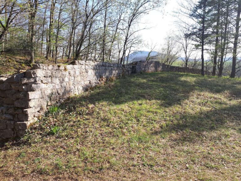
The castle formed an elongated rectangle on a rocky ridge about 560 metres above sea level. Rock faces and steep ground naturally protected the northeast and southwest sides, while deep neck ditches defended the northwest and southeast ends. A neck ditch is a deep cut across a ridge that separates a fortified site from its approach. The northern ditch also provided building stone, and quarry-like traces remain visible there.
Residential and defensive buildings
Residential tower
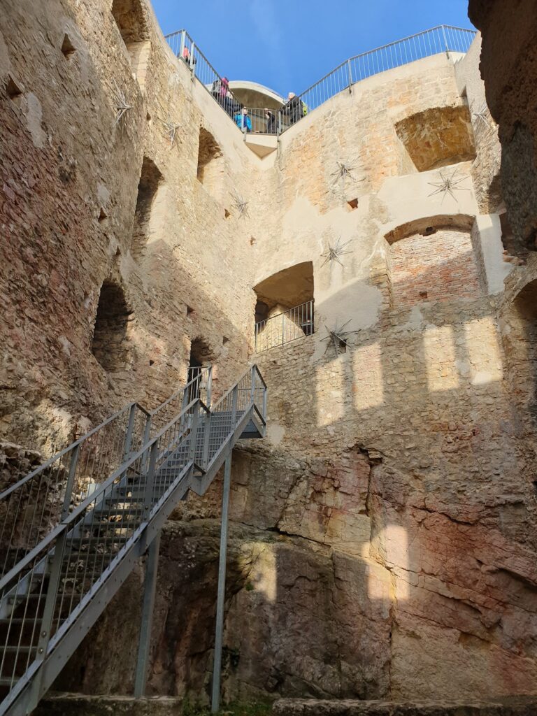
The earliest southeastern section centred on a residential tower that was initially undivided inside. During the later building phase, a partition wall divided its interior. Projecting elements at the corners gave the tower an unusual appearance for the region. Three windows with double-pointed arches and the gateway had red sandstone surrounds, whose careful execution indicates access to a degree of wealth.
Northwestern section
The later northwestern area consisted of an enclosing defensive wall, a courtyard, and a separate stable-and-residential building. Horse stalls occupied the ground floor, with living rooms above. The entrance stood approximately midway along the southwest side and was protected by a small tower. Open fireplaces and smoke outlets served the buildings, while a tiled stove was first installed in the residential tower and later in the northern tract after the tower fell out of use.
Water management and excavated finds
Filter cistern
A filter cistern occupied the southeast corner. Part of it was cut into the rock, while masonry formed much of the structure, especially on the north and west sides. The interior was sealed with clay. Near its centre, a water-drawing shaft remains with an internal width of just under one metre. Coarse stones between the clay seal and the shaft formed spaces through which water could pass. The roofs of the northwestern buildings probably sloped toward the cistern, directing rainwater into the storage system.
Archaeological finds
Excavation produced riding spurs, pieces of chain mail, crossbow-bolt heads associated with hunting, an aquamanile, and stove tiles. An aquamanile was a vessel used for washing hands, particularly in medieval domestic or ceremonial settings. Seven horses died in the fire, and their skeletons were recovered. Their heights at the withers ranged from 119 to 145 centimetres.
Nearby sites