Ödenburg Castle Ruins: A Medieval Hilltop Fortification in Switzerland


Site at a Glance
- Rating
- 4.6
- Popularity
- Very Low
- Country
- Switzerland
- Primary era
- Medieval
- Eras represented
- Medieval
- Civilizations
- Holy Roman Empire
- Site type
- Military
- Remains
- Castle
On this page6 sections
History
The Ödenburg Castle Ruins are the remains of a medieval hilltop fortification in Wenslingen, Switzerland, occupied from the end of the tenth century to the end of the twelfth century. The castle’s original name is unknown. Ödenburg, meaning “deserted castle,” probably became established after the overgrown site was forgotten along with its earlier name. The ruins are also known as Heltburg, Oltenburg, and Altschloss.
Foundation and Medieval Use
The castle was probably founded by the Counts of Homberg. Its position on a rocky spur gave it a naturally defensible setting, while the fortification works strengthened the exposed side of the site. Archaeological finds indicate occupation beginning in the late tenth century and continuing into the late twelfth century.
The castle had probably been abandoned around 1150, at a time when written evidence was still scarce. When the Homberg line died out in 1223, its fief passed to Habsburg-Laufenburg, a branch of the wider Habsburg dynasty that held medieval territories and lordships in the Upper Rhine region. The site belonged to the House of Habsburg-Laufenburg in 1320.
Abandonment and Archaeological Work
The reason for the abandonment remains uncertain. The incomplete ring wall, the open space in the courtyard, and quarrying in the neck ditch suggest that construction was still expanding when work stopped. These features point more plausibly to financial difficulties or changes in the political and territorial power of noble families than to destruction through military action.
Traces of burning in part of the site indicate that a fire occurred, but its date and connection with the abandonment cannot be established. Excavation and restoration were carried out in 1941 and 1942 under Fritz Pümpin, in 1968 under Karl Heid and Theodor Strübin, and from 1976 to 1979 under Jürg Tauber.
Remains
Hilltop Setting and Defenses
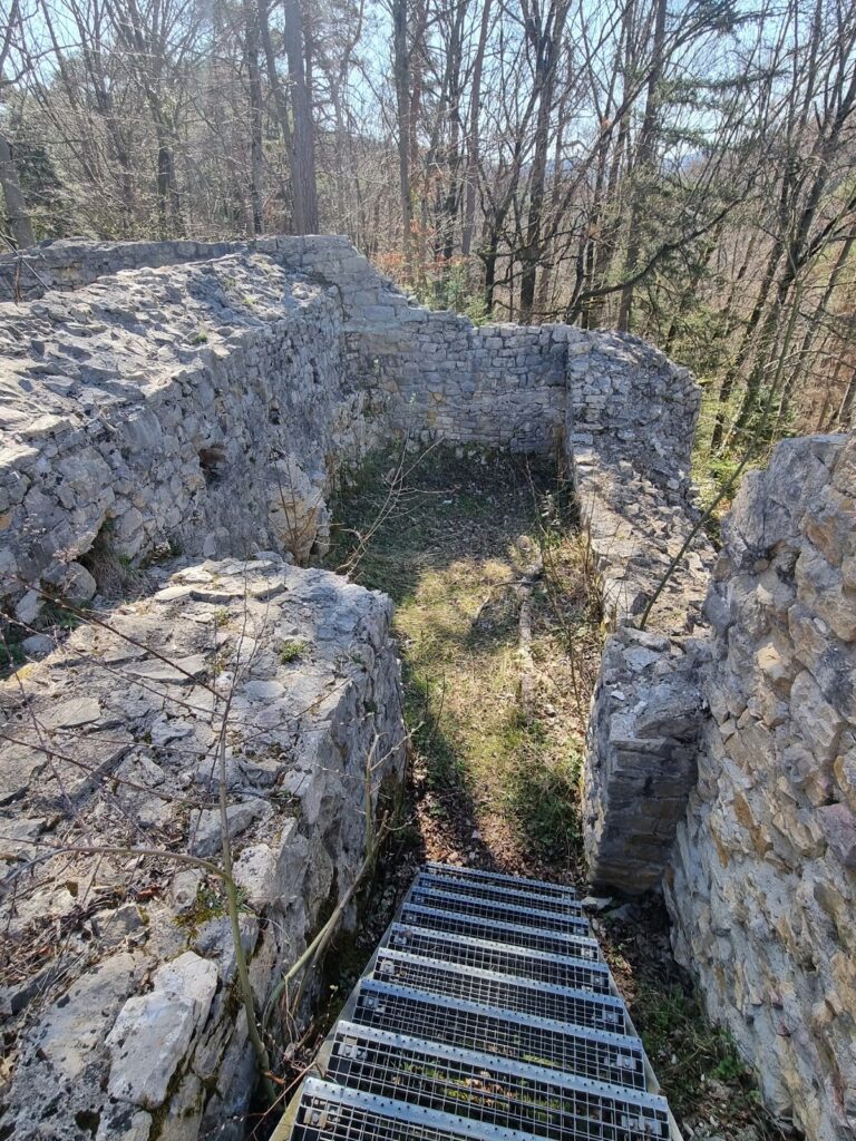
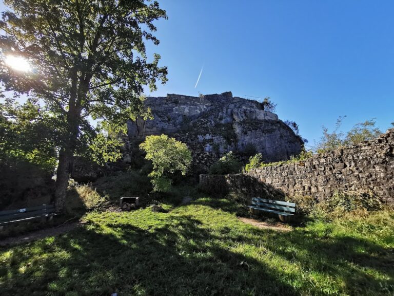
The ruins occupy a rocky spur at an elevation of 566 metres west of Wenslingen and high above Tecknau, approximately halfway between the two settlements. The spur created a roughly triangular castle plan. Cliffs and steep ground protected the north and southwest sides, while the southeast side was cut off by a neck ditch, a defensive trench across the narrow connection between the spur and the surrounding terrain.
Behind the ditch stood a shield wall, a particularly strong wall protecting the most exposed side of a castle. It was almost two metres thick. The ditch also preserves clear traces of quarrying, showing that stone for the fortifications was extracted beside the castle while the defensive cut was being deepened.
Entrance and Interior Buildings
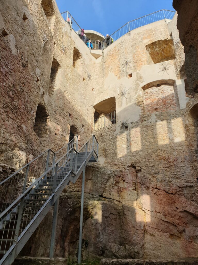
Entry was made from the north through a gate tower with an ascending, vaulted passage. Stones with pivot sockets survive in the gateway, indicating a probable double-leaf door set about two metres above the contemporary walking level. The original approach is uncertain. One interpretation proposed a collapsed ramp on the left, while another suggested a steep wooden structure, possibly a drawbridge, reached by steps below the entrance.
Several houses occupied the interior of the castle. Their construction varied, with archaeological traces of stone buildings, timber buildings, and a sunken-featured building, a structure partly excavated into the ground. The site now survives as a ruin, with an incomplete ring wall and an open area in the courtyard that accords with the interpretation of an unfinished expansion phase.
Nearby sites