Ruine Hertenstein: A Medieval Hilltop Castle near Sigmaringen

Site at a Glance
- Rating
- 4.2
- Popularity
- Very Low
- Country
- Germany
- Primary era
- Medieval
- Eras represented
- Medieval
- Civilizations
- Holy Roman Empire
- Site type
- Military
- Remains
- Castle
On this page7 sections
History
Ruine Hertenstein is a former medieval hilltop castle in Germany, near Sigmaringen, thought to have been built at the end of the twelfth century. Ceramic finds support this dating, although the castle’s foundation history remains unresolved. The site was first documented in 1250 and served as the ancestral seat of the Lords of Hertenstein.
The Lords of Hertenstein
The first members of the Hertenstein family appear in records from 1243. In 1250, the brothers Heinrich and Albrecht von Hertenstein were identified as ministeriales, service nobles who performed military, administrative, or courtly duties for a higher lord, serving Count Wolfrad of Veringen.
Burkhard von Hertenstein lived at the castle between 1276 and 1317. He became the progenitor of the surviving branch of the family that later took the name Hornstein-Grüningen. The Hertenstein and Hornstein families were related by lineage and used the same coat of arms.
Abandonment and Transfer
Between 1350 and 1385, Brun I von Hertenstein moved to Daugendorf and abandoned the small castle. In 1449, Brun III sold the Hertenstein castle site to the city of Sigmaringen.
Brun III’s descendants later acquired Grüningen Castle. From 1472 they adopted the name “von Hornstein genannt von Hertenstein,” meaning von Hornstein also known as von Hertenstein. From 1538 they used only the name von Hornstein.
Remains
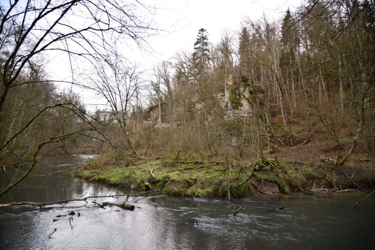
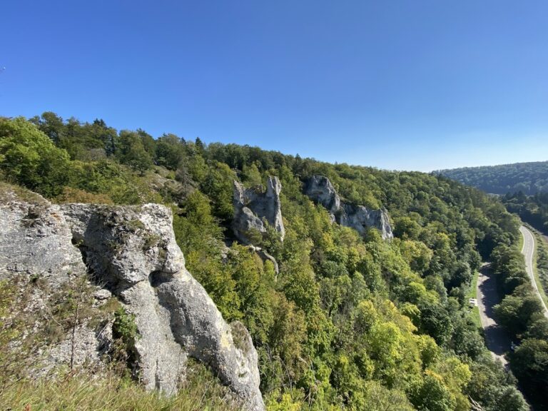
Ruine Hertenstein was a spur castle, a fortified settlement built on a projecting ridge or rock and protected by the surrounding slopes. It stood on a rocky pinnacle at the end of the forest known as Altes Schloss, north of Sigmaringen on the right bank of the Lauchert near Nollhof. The castle was positioned at approximately 650 metres above sea level, above the Lauchert Valley, which lies at about 606 metres. Only slight terrain traces of the former castle survive. The remains of Hertenstein and the former castle of Isikofen occupy two opposing rocks separated by the Lauchert.
Castle Rock and Defensive Works
Neck Ditch and Footbridge
A neck ditch, a defensive trench cut across the landward connection of a spur, separates the castle rock from the approach. The ditch is approximately 19 metres wide and 9 metres deep. A footbridge once crossed it, supported by a bridge pier, and led toward the former inner castle.
Inner Castle
The inner-castle area measures approximately 8 by 4 metres. Its restricted dimensions may indicate that a residential tower stood there, although this interpretation remains tentative. A projecting half-timbered upper storey probably increased the building’s usable floor area. Half-timbered construction used a visible timber framework whose spaces were filled with materials such as plaster, brick, or wattle and daub.
Nearby sites