Valjala Stronghold: The Oeselian Fortress on Saaremaa
Site at a Glance
- Rating
- 4.5
- Popularity
- Very Low
- Country
- Estonia
- Primary era
- Medieval
- Eras represented
- Medieval
- Civilizations
- Unclassified
- Site type
- Military
- Remains
- Fort
On this page14 sections
History
Valjala Stronghold is a twelfth-century Oeselian fortress in Estonia, built on Saaremaa as the principal stronghold of the island’s inhabitants. Medieval Latin texts called it Castrum Waldia, meaning a fortified place associated with Valjala. The site became the most important fortress on Saaremaa and a center of local authority, controlling an area connected to eastern Baltic sea routes.
Early occupation and Oeselian power
Intensive activity at Valjala began in the second half of the eleventh century, although investigations carried out between 2021 and 2024 indicate that the area was already being used in the fifth or sixth centuries. This early activity was probably connected with the Valjala Old Ringfort, located about 700 metres east-northeast of the stronghold. In the early twelfth century, the site developed into a major fortified center with three concentric ramparts.
By the twelfth century, Valjala was an important seat of local power. The Oeselians, the inhabitants of Saaremaa and nearby islands historically known as Osel, controlled eastern Baltic maritime routes. Henry of Livonia, a medieval chronicler of the crusades and conversions in Livonia and Estonia, called Valjala’s leaders nobiles, or nobles, and described the fortress as the strongest among the Oeselian strongholds. Its defenses enclosed a central courtyard reached through a seasonal gathering area and at least three gates.
The 1227 siege and conversion
In January 1227, a crusader army of about 20,000 men crossed the frozen sea to invade Saaremaa. After destroying the stronghold at Muhu, the army besieged Valjala, plundered nearby settlements, and attacked with siege engines and crossbow bolts.
The fortress did not fall to an assault. Its defenders had suffered losses and faced shortages of provisions, while the fate of Muhu showed the consequences of continued resistance. They surrendered, gave hostages and property, promised submission, and accepted Christianity. This capitulation completed the crusader conquest of Estonia and came to represent the end of the ancient Estonian struggle for independence.
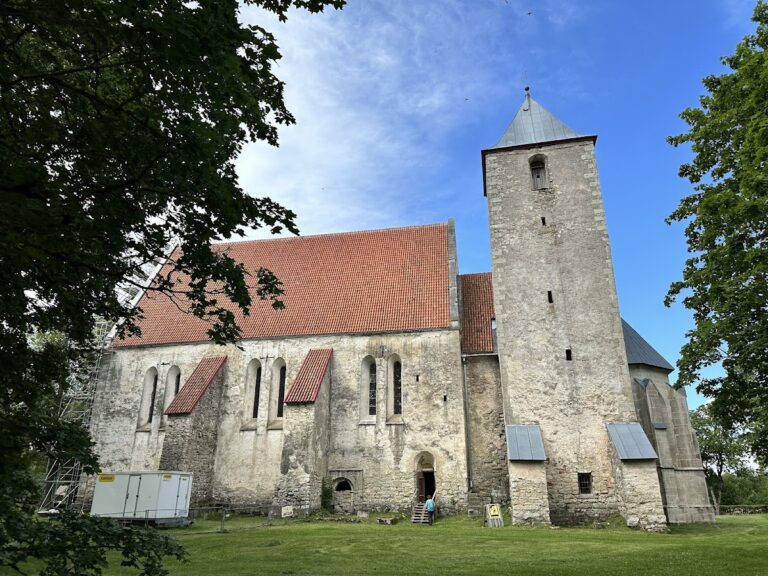
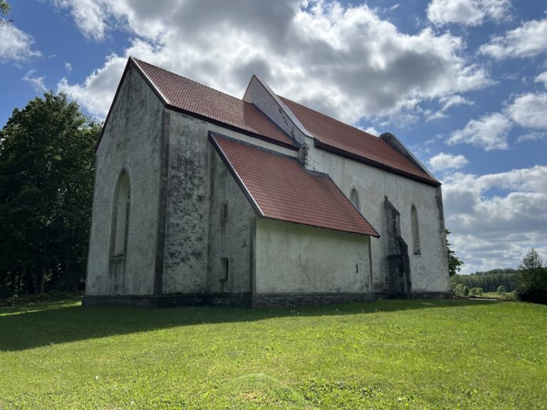
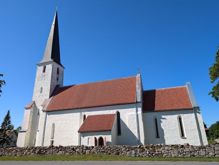
A mass baptism followed the surrender, and a stone chapel was built about one kilometre northwest of the stronghold. The chapel is associated with the beginnings of Estonia’s sacred architectural tradition. Traditions connected with nearby Ristimägi, where pagans were reportedly baptized during the thirteenth century, also form part of the cultural memory of the Valjala area.
Later fortification and abandonment
Valjala was probably abandoned around the 1260s, although evidence indicates that parts of the site remained in use after the crusade. A final major fortification phase probably took place during the first half of the fourteenth century. As the stone defenses deteriorated, timber fortifications were added to new earth embankments.
This later work may have been connected with the St. George’s Night Uprising, a fourteenth-century Estonian revolt against foreign Christian rule. In 1344, forces of the Teutonic Order, a German military-religious order active in the eastern Baltic, broke through the outer timber enclosure and killed many people but failed to capture the central fort. They seized and executed Vesse, the islanders’ king, who had defended the enclosure.
Archaeological investigation
The stronghold was investigated in the 1860s under Jean Baptiste Holzmayer and excavated in 1895 by Sergei K. Bogojavlenski and Stackelberg. Research directed by Aita Kustin between 1962 and 1964 clarified the construction of the ramparts, revealed at least eight wooden buildings, and showed that the interior had been densely built up. Finds indicate active use from the early twelfth century until approximately the 1260s, with some inhabitants living at the stronghold throughout the year.
Excavations by the Osiliana Foundation from 2021 to 2024 extended knowledge of the site’s early occupation and confirmed human activity in the area by the fifth or sixth centuries. In 2022, archaeologists briefly exposed part of the outer face of the stone rampart. The surviving stronghold is now in ruins, while annual Leedo celebrations and a bonfire on the hillfort continue local Saaremaa traditions.
Remains
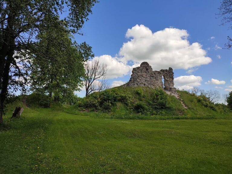
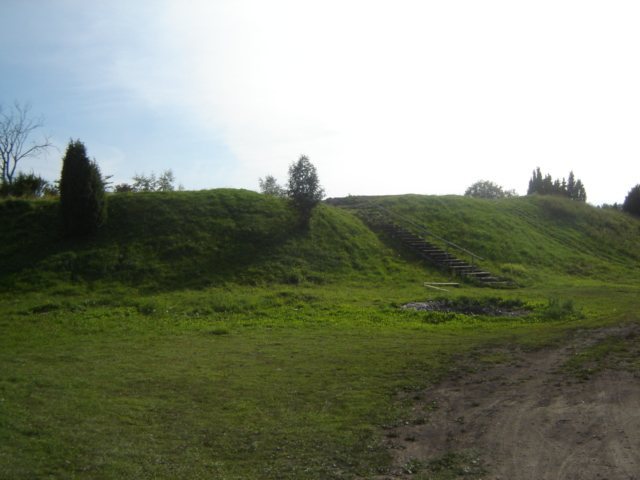
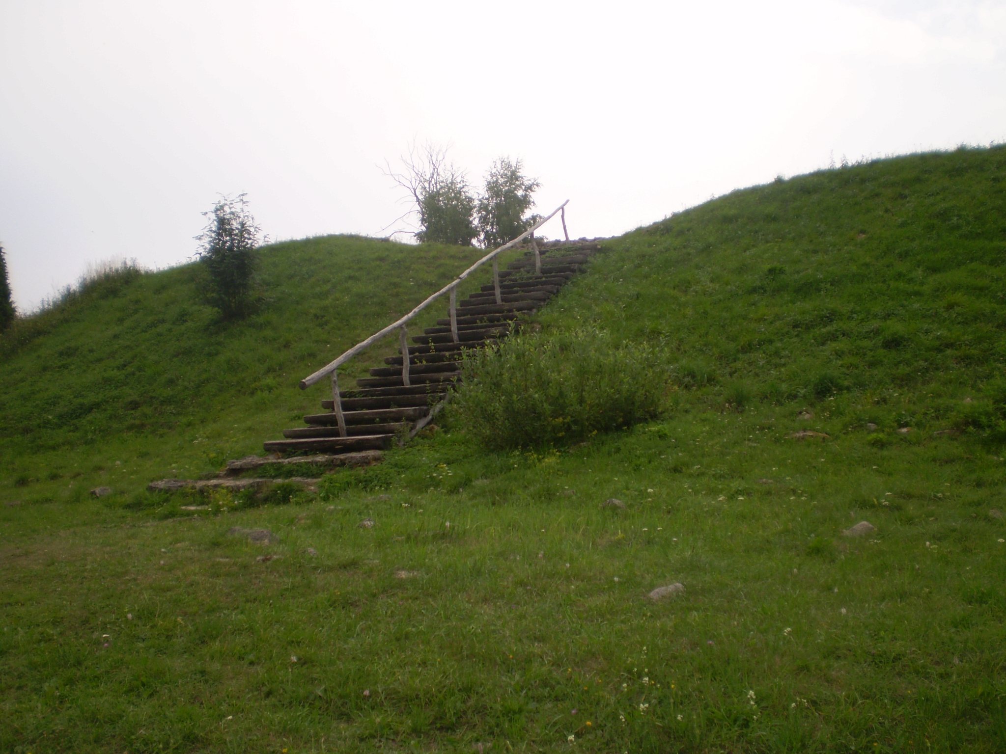
Valjala Stronghold occupies a natural rise about 700 metres south of present-day Valjala. Marshland surrounds much of the site, while higher ground continues for roughly 200 metres to the northeast along the present road. The stronghold has a slightly oval plan measuring approximately 120 by 110 metres, with a courtyard of about 3,600 square metres. Its defenses formed several concentric enclosures, combining stone construction, earthen embankments, and timber elements.
Concentric defenses
Central rampart
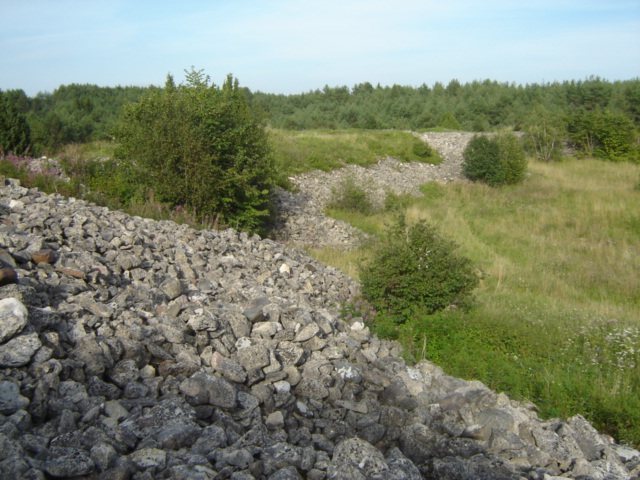
The central rampart was the strongest part of the fortification. It began as a stone embankment containing large log boxes filled with smaller stones. During the twelfth century it was rebuilt several times, eventually forming dry-laid limestone walls that may have reached 10 metres or more in height. The walls were covered with clay plaster. Fragments of the stone construction remain visible inside the stronghold, while later earthworks cover much of the exterior.
The inner slope of the main rampart rises about 3 to 6 metres, and the outer slope about 5 to 8 metres. Its crest is approximately 3 to 7 metres wide, with a slope angle of about 25 to 28 degrees. Toward the end of the twelfth century, soil was piled against the lower part of the stone wall for a distance of roughly 6 metres. This covering probably helped protect the unmortared masonry from stones fired by catapults.
Outer ramparts and later timber defenses
The original system contained three concentric ramparts. The outer rampart was almost circular, with a diameter of approximately 186 to 193 metres. A second, probably oval rampart stood several dozen metres nearer the central fort and remains partly visible at the foot of the main hill. The outer and middle ramparts were relatively weak stone walls about 2 metres wide and 2 metres high, probably topped with timber fencing.
After the central stone wall began to deteriorate, a new outer embankment was built around the fort, probably during the first half of the fourteenth century. It supported a timber defense beside the crumbling masonry, while similar earthwork and timber fencing were added to the outer concentric rampart. The later outer rampart survives as a low ridge. Stones and soil were removed from it for construction elsewhere in the early twentieth century. A broad depression around the foot of the stronghold probably formed when earth was dug out for the rampart embankment.
Courtyard and occupation
Well
A well stood in the courtyard. It is described as limestone-lined, while excavations exposed a timber-framed shaft 5.34 metres deep. Fifteen objects were recovered from it, including a wooden shovel, an axe, and a birch-bark container.
Wooden buildings
Excavations identified at least eight wooden buildings, including structures with stoves. These remains show that the interior was densely occupied rather than serving only as an open defensive space. Pottery, iron nails, and other household objects further indicate sustained domestic activity within the stronghold.
Gathering area and entrances
A thin cultural layer on the higher ground northeast of the fortress represents a former seasonal gathering place rather than a permanent town. This area formed part of the approach to the courtyard, which required passage through at least three gates. The nearby Lõve River, about 500 metres away, was a heavily used waterway linking the stronghold with the sea.
Weapons, ornaments, and landscape features
Excavated and stray finds include a sword hilt decorated with silver inlay and punched ornament, spearheads, arrowheads, crossbow bolts, brooches, dress pins, pottery, iron nails, and other household objects dating mainly from the eleventh to thirteenth centuries. The crossbow bolts have been associated with the 1227 siege.
Several named landscape features surround the stronghold. Ristimägi is associated with traditions of thirteenth-century baptism, while Lillimägi preserves the memory of a former local custom of distributing meat to wolves on New Year’s Eve. The name Tuggimägi was reportedly altered to Tokimägi in later local usage.