Ropaži Castle Ruins: A Livonian Order Administrative and Economic Castle in Latvia


Site at a Glance
- Rating
- 4.2
- Popularity
- Low
- Country
- Latvia
- Primary era
- Medieval
- Eras represented
- Medieval
- Civilizations
- Crusader, Livonian Order
- Site type
- Military
- Remains
- Castle
On this page9 sections
History
Ropaži Castle ruins are the remains of a Livonian Order military, administrative, and economic castle in Ropaži, Latvia, built around 1320–1322 in the medieval period. The castle stood on the northern bank of the Lielā Jugla River beside an ancient route linking Salaspils and Sigulda. It formed part of the Order’s system of territorial control and defense in the historical region of Livonia, which broadly covered parts of present-day Latvia and Estonia.
Early settlement and Livonian Order control
Ropaži was first recorded in 1205, when crusader forces and Semigallian allies defeated a Lithuanian army returning from a raid in Estonia with war booty. The settlement occupied a strategic position near the route from Turaida to Ikšķile, and the Lielā Jugla was navigable in the thirteenth century. These conditions connected the site to movement through the region before the masonry castle was built.
After Livonia was divided among competing powers, the district came under the Sword Brothers and, after 1237, under the Livonian Order, a Catholic military order that ruled territories and administered castles and estates across the eastern Baltic. Around 1320–1322, the Order erected a masonry fortification on the site of an earlier Liv settlement or hillfort. Its position probably helped block access toward Riga and secure the eastern approach along the trade route. Baltic German and Latvian historians attribute the construction to Gerhard von Jorke, a master of the Livonian Order.
A priest was recorded at Ropaži in 1320, and the associated church was probably wooden. In 1380, the old rights and obligations of the Livonians were confirmed at the site. Ropaži therefore served not only as a fortified position but also as a place where religious and administrative functions were conducted.
Defense and administration in Livonia
Ropaži belonged to the Livonian Order’s defensive chain along the Gauja Corridor, a narrow zone of Order territory separating areas associated with the Archbishopric of Riga. The chain included the castles of Mālpils, Nītaure, Zaube, and Skujene. Together with the Gauja River and Sigulda at the corridor’s northern end, these strongpoints protected the route through the region. Ropaži also formed part of the Ādaži–Ropaži–Salaspils defensive arc around Riga and at times served as an administrative center for the Order’s territories in the Riga region.
The castle’s jurisdiction brought it into disputes over land and authority. In 1404, the Order’s land marshal, a senior military and administrative official, reported contested boundaries between the people of Ropaži and Sigulda. Ropaži appeared in the 1467 list of Livonian castles as a castle directly subordinate to the master of the Order.
During the Order’s war with the archbishop of Riga in 1489–1491, Master Walter von Plettenberg besieged the territory between Riga, Ādaži, and Ropaži. In 1491, the Order defeated the forces of Riga and compelled the signing of a peace treaty at the Valmiera Landtag, a representative assembly of the estates. A 1555 list of Livonian castles placed Ropaži four miles from Riga.
Destruction and changes of ownership
The Livonian War brought the castle’s destruction. Russian forces burned Ropaži around 1558–1560, destroying the predominantly wooden buildings within the stone perimeter. In 1561, Livonian Master Gotthard Kettler pledged Ropaži Castle and its manor to Fromhold von Tiesenhausen for 14,000 marks. Between 29 September and 10 November that year, Kettler transferred Ropaži, together with other castles and estates, to the possession of the Polish king. In 1562, he granted Ropaži, Ādaži Manor, Aahof Manor, and 100 farms to Heinrich von Dohna, although the existing pledge apparently left Ropaži in the possession of the Tiesenhausens.
Following the successful Russo-Polish war, King Stephen Báthory reorganized the Catholic Church in the Duchy of Livonia in 1582 and placed Ropaži under the newly formed Diocese of Wenden, a Roman Catholic diocese centered at present-day Cēsis. The Treaty of Jam Zapolski, concluded in 1582, referred to Ropaži as the citadel of its district. Walter Tiesenhausen was its owner in 1593.
At the beginning of 1601, Ropaži surrendered without resistance to the forces of the Swedish Duke Charles during the Polish–Swedish war. The castle remained partly inhabited in the early seventeenth century and was regarded around 1611 as a castle of the higher nobility. By 1623, however, it had collapsed, with four walls remaining on one side.
The manor estate and archaeological investigation
After the Polish–Swedish wars, the Tiesenhausens lost their former influence in Livonia. Carl Tiesenhausen obtained recognition of his pledge rights from King Gustav II Adolf in 1629. Gabriel Bengtsson Oxenstierna acquired the right to use the manor in 1641 despite the pledge, but the state later reclaimed it during the reduction, the Swedish Crown’s recovery of previously granted estates. Count Golovkin sold Ropaži in 1751 to Privy Councillor and knight J. C. von Campenhausen. The von Wolff family owned the estate from 1855 to 1920.
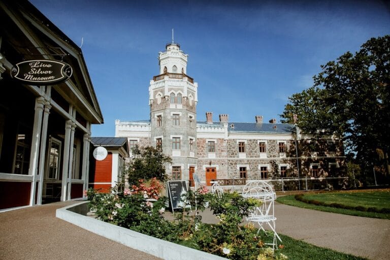
Material from the ruined castle was reused in the construction of Ropaži Manor. Extensive archaeological excavations took place in 2006, and work in 2011 revealed previously unknown sections of the castle’s defensive wall. These investigations added physical evidence to the written record of Ropaži’s medieval and early modern development.
Remains
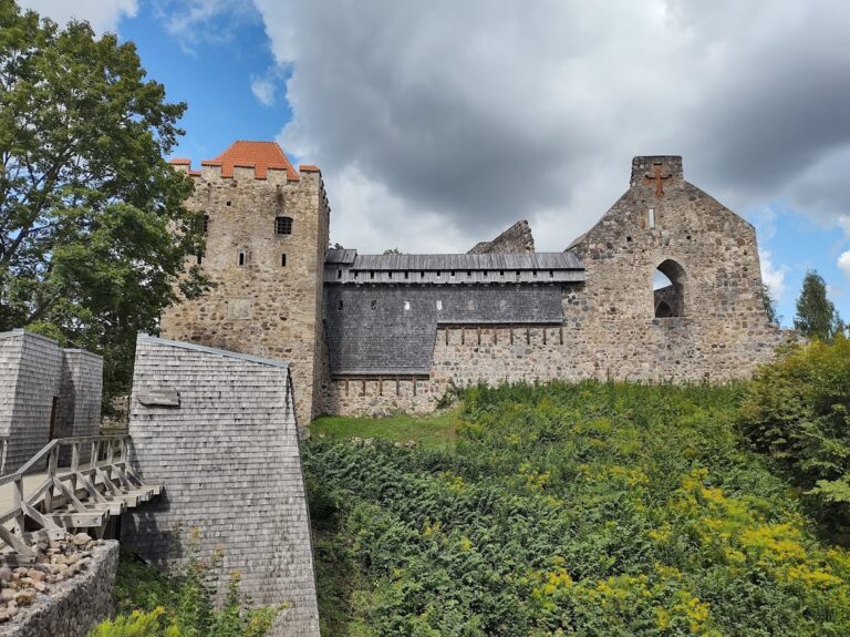
Ropaži Castle occupied a fortified plateau about 40 metres from the Lielā Jugla River, at approximately 38–40 metres above sea level. The complex was a free-form camp castle, meaning a fortified enclosure arranged around a courtyard rather than a single compact keep. Its ground plan has been described as pentagonal with a roughly trapezoidal form, while other descriptions characterize the enclosure as an irregular hexagon. The defenses were built from granite or other fieldstone blocks set in lime mortar.
Hillfort setting and defensive enclosure
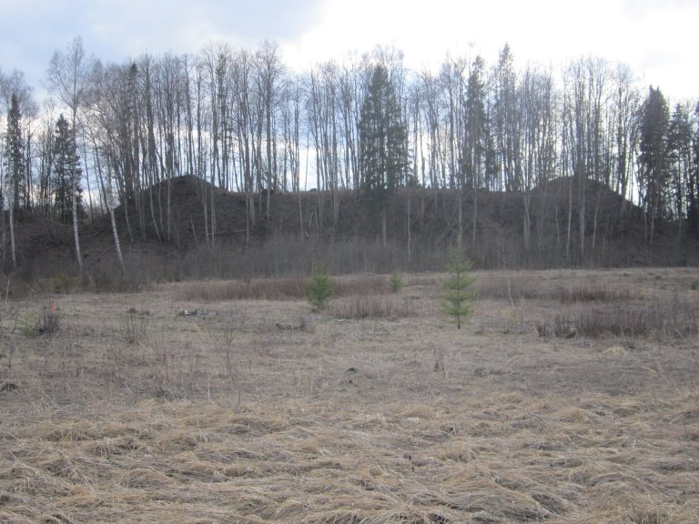
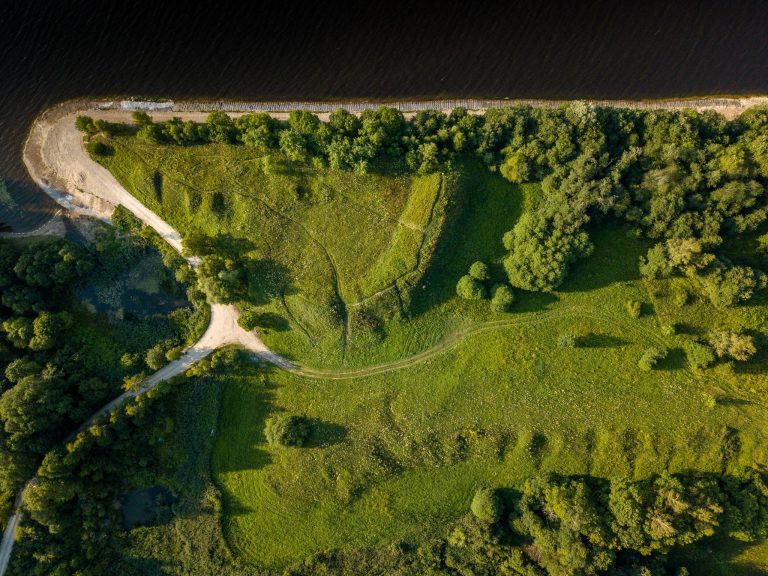
The castle was established on an earlier hillfort beside the river. The Lielā Jugla’s steep bank, rising 6–10 metres, formed the southern and western sides of the hillfort. A silted river section on the western side created an oxbow, while the northern and eastern slopes rose 3–4 metres. The defensive walls reached up to 1.5 metres in thickness and enclosed a military, administrative, and economic complex. Two masonry fragments survive above ground, including a largest fragment measuring 13 metres in length and 5 metres in height.
Wings and courtyard
A long southwestern wing developed between the fourteenth and seventeenth centuries, while a shorter northeastern wing dates from the fifteenth or sixteenth century. Together, the wings bordered a spacious courtyard within the enclosure. The arrangement reflects the castle’s role as a working administrative and economic center as well as a military strongpoint.
Gate, artillery tower, and foreburg
The northwestern side of the defensive wall contained the gate. In the fifteenth century, the entrance was reinforced by a powerful round artillery tower, a tower designed to accommodate firearms and cannon. On the narrower southeastern side, a foreburg, or outer fortified enclosure associated with the main castle, formed another part of the complex. Its entrance opened toward the courtyard.
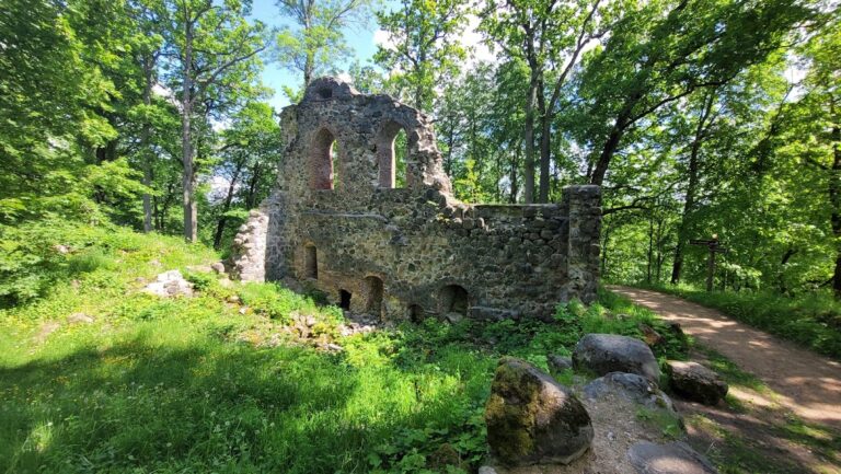
The area within the outer defensive wall probably contained wooden buildings. These structures were burned during the Russian campaign of 1558–1559, while the stone perimeter remained as the principal surviving element of the fortification. The present ground-level remains are small wall ruins on the top of the castle mound and retain indications of a roughly quadrangular defensive installation within the irregular polygonal enclosure described by the castle plans.