Rieti Sotterranea: The Remains of Rieti’s Roman Bridge

Site at a Glance
- Rating
- 4.6
- Popularity
- Low
- Country
- Italy
- Primary era
- Modern
- External website
- Open
- Eras represented
- Classical, Modern
- Civilizations
- Roman
- Site type
- Infrastructure
- Remains
- Bridge
On this page7 sections
History
Rieti Sotterranea is the partially submerged remains of a Roman bridge in Rieti, Italy, built during the third century BC as part of the Roman Republic’s Via Salaria. The road linked Rome with the Adriatic coast and supported the movement of salt through the Sabina, the region inhabited by the Sabines before and during its incorporation into Roman territory.
Roman construction
The bridge formed part of the urban renewal of Reate, the Roman-era name for Rieti, after Rome conquered the Sabina in 290 BC. Its position on the Via Salaria connected the settlement to a major route across central Italy. The structure was restored or rebuilt in the first century AD, a phase associated with an inscription dated AD 42 and attributed to the emperor Claudius.
Medieval fortification
During the medieval period, the bridge was defended by a cassero, a fortified gate or tower used to control access and protect a settlement, on the left bank. A second cassero was added in 1312. Both medieval structures were later demolished, although the older tower was rebuilt in 1439 and survived until 1883.
Replacement and wartime destruction
Increasing vulnerability to flooding led to the construction of a replacement bridge between 1932 and 1936. The ancient bridge was demolished, and its remains were placed in the bed of the Velino River. A new reinforced-concrete bridge opened in 1939, but retreating German forces destroyed it in June 1944. It was rebuilt during the 1950s.
Remains
The Roman bridge
The ancient bridge was a three-arched, hump-backed structure. Its central arch was wider than the two side arches. The bridge measured 38.90 metres in length and 6.20 metres in width, while its piers were estimated to be 2.60 metres wide.
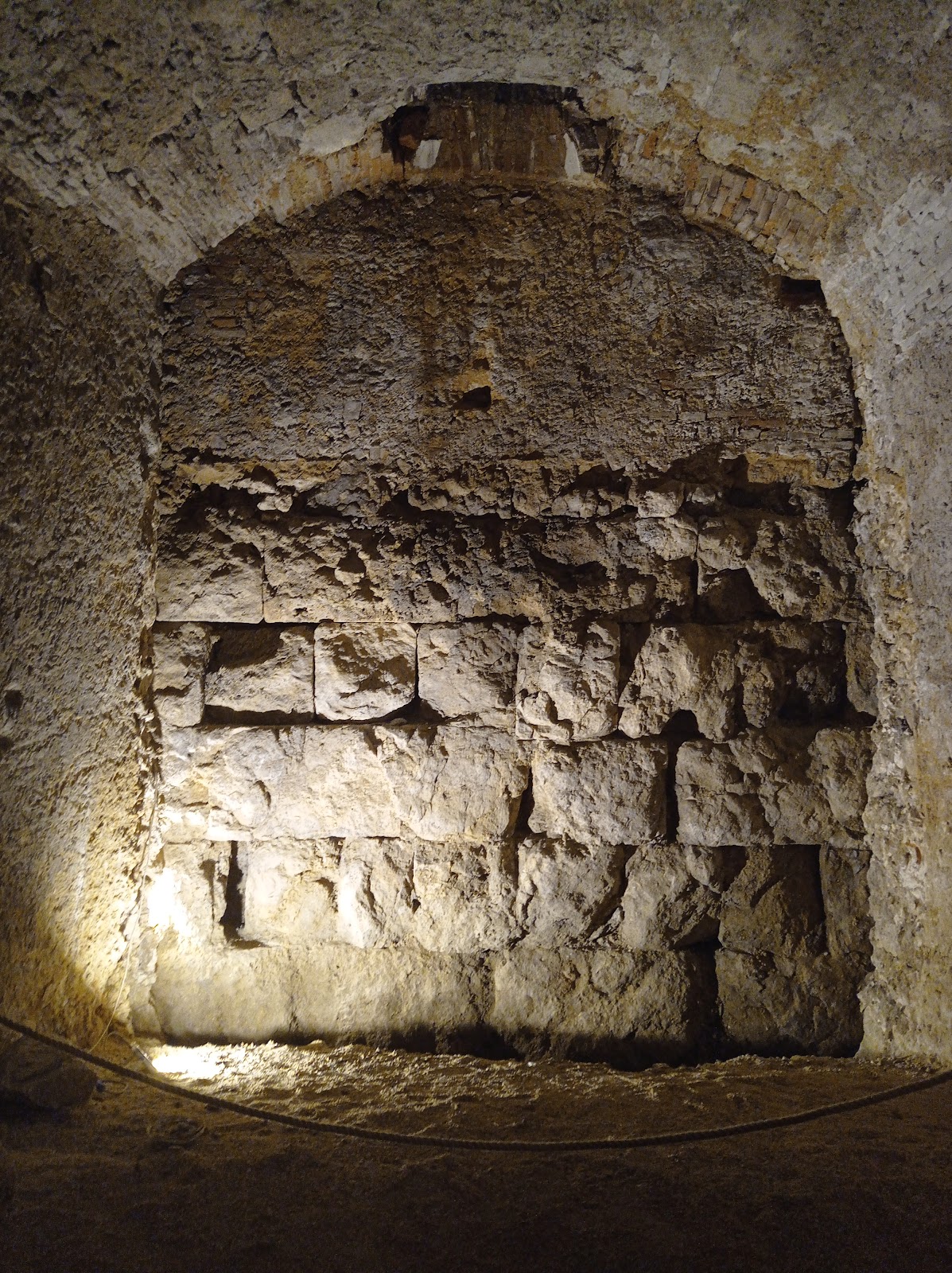
Construction used opus quadratum, a Roman technique in which regularly cut blocks are laid in horizontal courses. The bridge’s large travertine limestone blocks were approximately one metre long and joined with mortar. Its surviving remains lie in the Velino River and emerge only partly, according to the water level.
The river setting
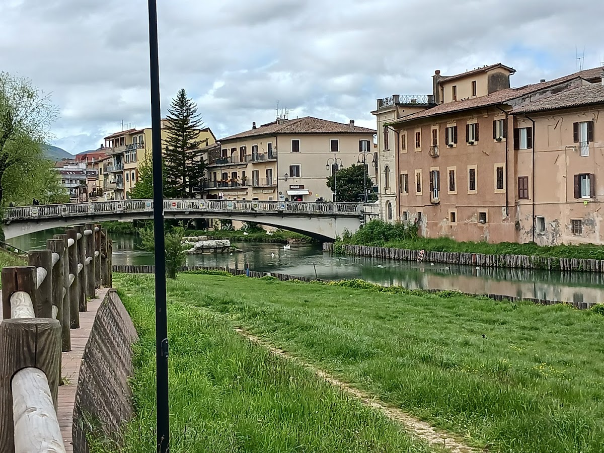
The modern bridge stands immediately beside the ancient remains. The surviving Roman structure can be viewed from the modern bridge or from the riverbank, where its position in the river preserves the relationship between the ancient crossing and its modern replacement.