Punic Wall of Cartagena: A Carthaginian Fortification in Spain
Site at a Glance
- Popularity
- Medium
- Country
- Spain
- Primary era
- Classical
- Eras represented
- Classical
- Civilizations
- Carthaginian
- Site type
- Military
- Remains
- Wall
On this page9 sections
History
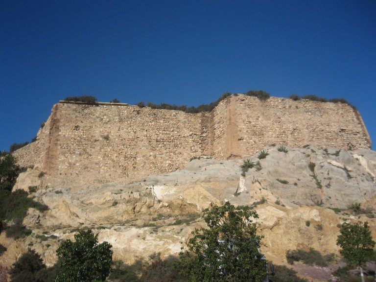
The Punic Wall of Cartagena is a Carthaginian fortification in Spain dating to the third century BC and following Hellenistic, Greek-influenced defensive models. It is one of the few surviving examples of Punic, or Carthaginian, defensive construction in Spain and bears witness to the Second Punic War, the conflict between Rome and Carthage.
Qart Hadasht under Carthaginian rule
In 227 BC, the Carthaginian general Hasdrubal the Fair founded Qart Hadasht, meaning “New City,” probably on the site of an earlier Iberian settlement called Mastia. From 227 to 209 BC, the city served as the Barcid capital in Iberia. The Barcids were a powerful Carthaginian family whose members led expansion in the region. To defend the settlement, the Carthaginians built a wall around it.
Roman attacks and capture
In 216 BC, the fortification helped prevent a Roman assault led by the brothers Gnaeus and Publius Cornelius Scipio. In 209 BC, Scipio Africanus captured Qart Hadasht after a siege by land and sea. Roman forces used their numerical advantage to overcome the defenders on the walls. The city’s capture marked the beginning of the end of Carthaginian power in southern Iberia. Excavation revealed evidence of a fire that may date to the battle or to the looting that followed the Roman takeover.
Remains
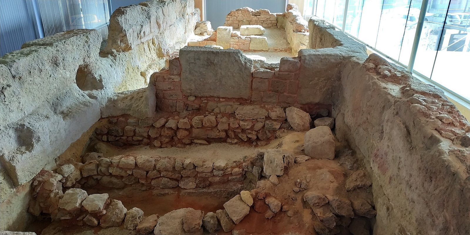
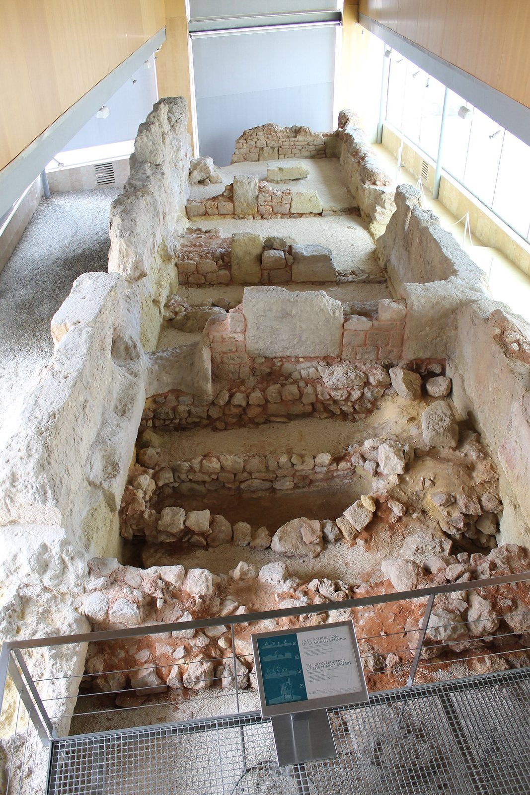
The excavated area covers about 1,200 square metres between Monte San José and Monte Despeñaperros, near the entrance to the isthmus between San José and Monte Sacro. The fortification consists of two parallel wall lines joined by transverse walls, following Hellenistic defensive models.
The defensive wall
Parallel sandstone faces
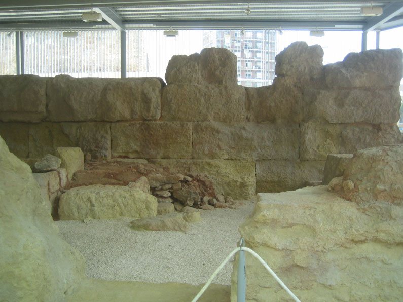
The wall lines run north to south and are almost six metres apart. The outer line extends about 15 metres and the inner one about 30 metres. Both were built from large, squared blocks of local sandstone, measuring approximately 120 to 130 centimetres long, 60 centimetres high, and 70 to 80 centimetres wide. The surviving masonry rises more than three metres, reaching nearly 3.2 metres in places; up to five horizontal layers of stone remain on the outer line.
Rooms and upper platform
Cross-walls made from blocks and smaller stones divided the space between the two lines into square rooms. At least one transverse wall joined the parallel faces using T-shaped blocks shared across the joins. Three rooms were accessible from the city through doorways whose thresholds survive. Each had a central chamber linked internally to a room on either side, and the entrances were evenly spaced. Thick wooden beams, supported by the inner walls, carried a roof across the two wall lines. Excavated traces of the beams indicate that the arrangement formed an upper platform for defense.
Bedrock-cut spaces
On the slope of Cerro de San José, excavators uncovered rectangular spaces cut into the natural bedrock. Each measures about 2.5 by 2 metres, and their arrangement follows the hillside’s slope. Some had adobe walls, now fallen and badly deteriorated. Traces of wooden posts may have supported an earthen covering and a structure made from plant materials.
Urban setting and preservation
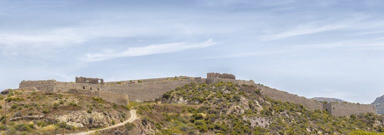
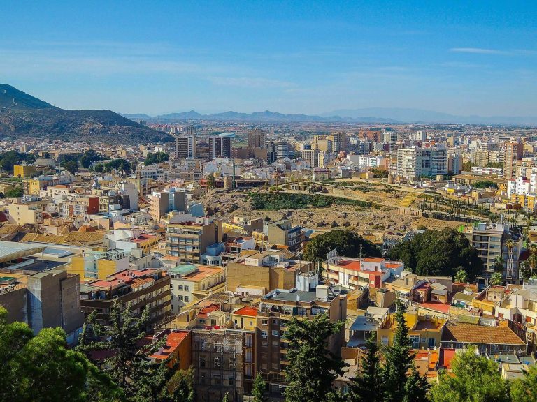
The ancient city occupied a peninsula within a bay, with a lagoon to the north and a natural harbour to the south. The Roman poet Avienus identified the southern harbour as Port Nammatio. Five hills defined the wider urban area: San José, identified with ancient Aletes, Despeñaperros, Monte Sacro, Molinete, and Monte Concepción. Stretches of wall connected the hills. The Punic Wall Interpretation Center protects the surviving remains, and its contemporary architecture recreates the wall’s original elevation. The remains are in good condition following the site’s development as a museum presentation.