Prezë Fortress: A Medieval Hilltop Stronghold in Albania


Site at a Glance
- Rating
- 4.5
- Popularity
- Low
- Country
- Albania
- Primary era
- Medieval
- External website
- Open
- Eras represented
- Medieval, Early Modern, Modern
- Civilizations
- Ottoman
- Site type
- Military
- Remains
- Castle
On this page12 sections
History
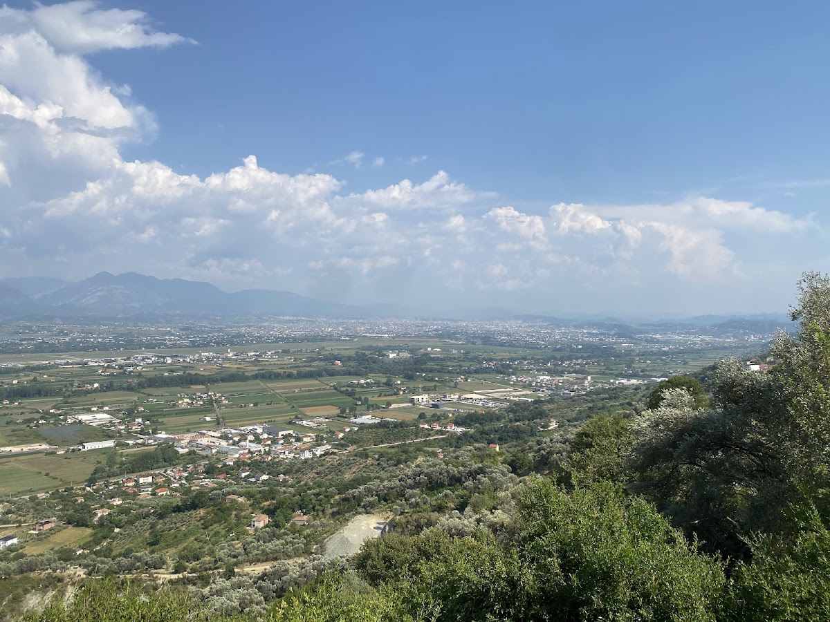
Prezë Fortress is a medieval hilltop fortress in Prezë, Albania, positioned between the plains of Tirana and Durrës. Its elevated position controlled important routes, including the road between Durrës and Kruja, and allowed it to operate as a visual-signal station linking the fortresses of Kruja and Petrela with Durrës.
Ancient origins
The hill was first fortified in the second or third century BCE. The ancient settlement has been associated with the Parthini, an Illyrian tribal group recorded in ancient sources. Marin Barleti, an Albanian Catholic cleric and historian of the late fifteenth and early sixteenth centuries, described it as a small town that later became a ruin. The site has also been connected with the camp of Pompey mentioned by Julius Caesar, while the ancient fortification was said to have been destroyed by Caesar in 48 BCE.
Medieval foundation and uncertain fortunes
The date and builder of the medieval fortress remain uncertain. One interpretation places its construction in the early fifteenth century under the Topia principality, a medieval Albanian ruling family and principality. Other proposed dates fall between 1431 and 1466, during Ottoman rule, or around the Ottoman siege of Kruja in 1450, possibly under Sultan Murad II, who ruled the Ottoman Empire from 1421 to 1451.
Barleti wrote that Prezë was already a ruin during the period of Skanderbeg’s wars. Skanderbeg, also known as George Kastrioti, was an Albanian prince who led resistance against Ottoman expansion in the fifteenth century. The fortress may have been abandoned because it could not withstand prolonged fighting and sieges. It may also have been destroyed by Skanderbeg’s forces, although it may have played no major role during his lifetime.
Giammaria Biemmi, an Italian Catholic priest and writer, recorded a different tradition. He stated that on 26 January 1445 the fortress hosted the marriage of Mamica Kastrioti, Skanderbeg’s younger sister, and Muzakë Thopia, lord of Petrela. According to this account, Skanderbeg arranged the marriage and chose Prezë to honor the local lords, the Prezgjani. This tradition contrasts with Barleti’s description of the fortress as ruined during the same broader period.
Ottoman rebuilding and later military use
After the Ottoman conquest of the surrounding region, the fortress was rebuilt and altered. Work on the enclosure and especially the entrance area took place during the sixteenth century, with alterations broadly dated to 1528–1547. An imam, the prayer leader of a mosque, was appointed there in 1547, and further Ottoman rebuilding was recorded in 1570.
Prezë Fortress continued to have military uses in the modern period. Rebels in central Albania occupied it in 1914, and Esadist insurgents used it in 1920 during their opposition to the central government. The Esadists supported Essad Pasha Toptani, an Albanian political and military leader. During September and October 1944, the fortress served as a base for Abaz Kupi and his forces in fighting the partisans of the Albanian Communist Party.
Reconstruction and heritage
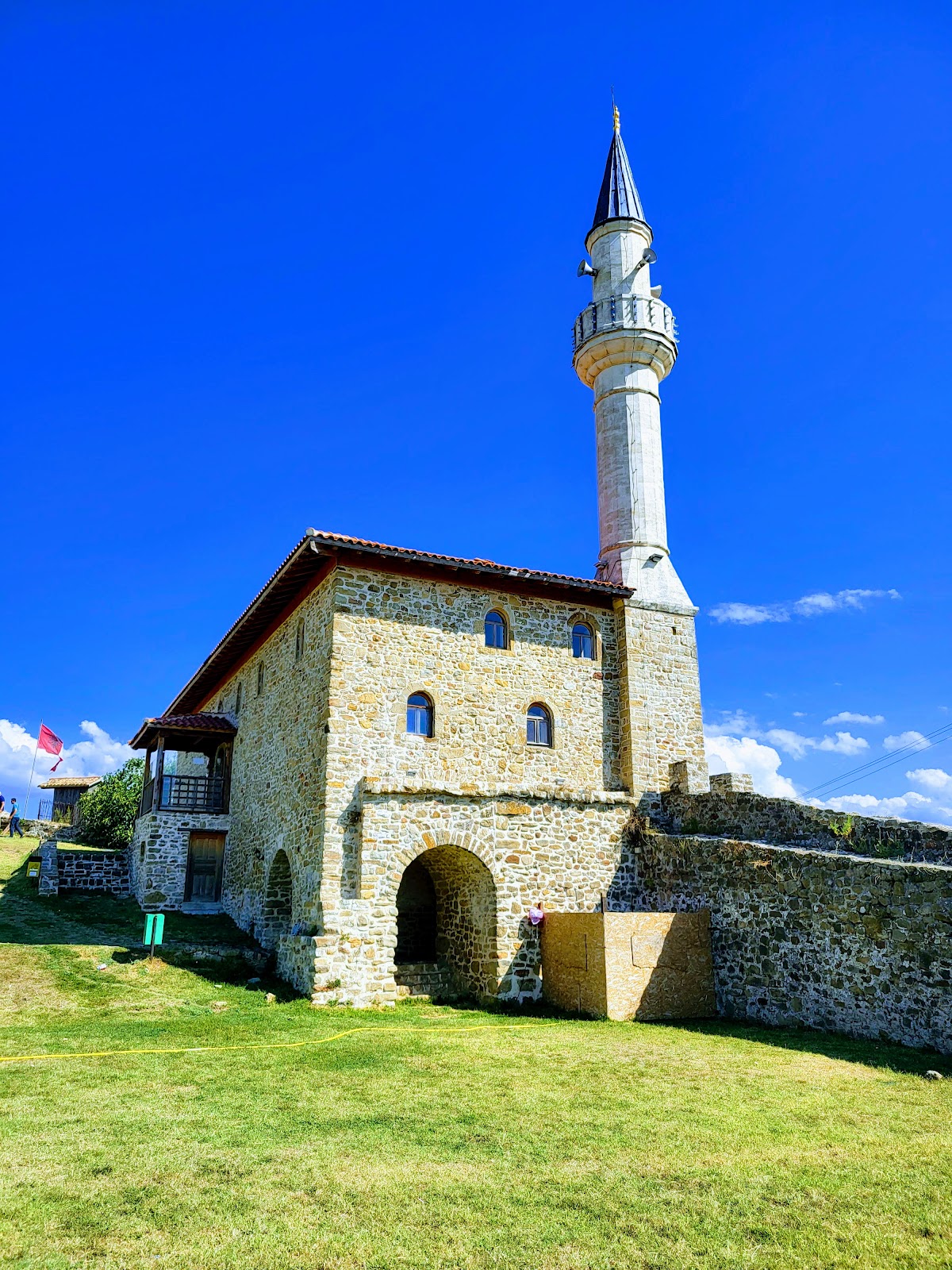
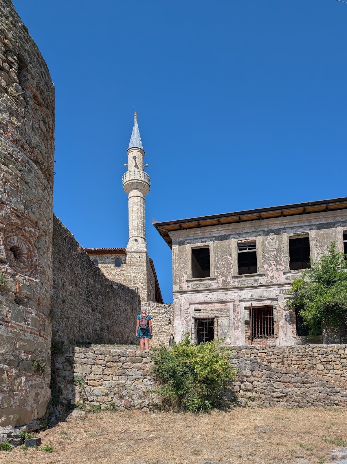
The Albanian government reconstructed much of the deteriorated fortress between 1936 and 1938. This work included the entire western wall and the collapsed clock tower. Further restoration took place in 1966. The mosque was restored with a new minaret, the tower traditionally associated with a mosque and used for the call to prayer, and inaugurated in May 2014. Its original minaret had been destroyed during Enver Hoxha’s state atheist campaign, which began in 1967.
An earthquake on 26 November 2019 damaged the fortress and caused part of the clock tower to collapse. Reconstruction began in April 2021. Prezë Fortress forms part of Albania’s state cultural heritage, while its present appearance reflects both its earlier history and extensive twentieth- and twenty-first-century reconstruction.
Remains
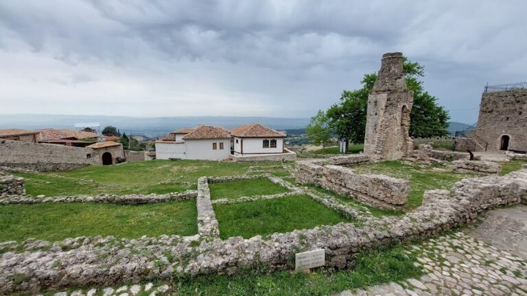
The fortress occupies the summit of a narrow ridge approximately 250 to 260 metres above sea level, between the plains of Tirana and Durrës and about 15 kilometres from the Adriatic Sea. The ground drops steeply toward the Tirana plain, while terrain protects the southeastern side. The western side is flatter and more exposed, concentrating the fortification in that direction. The enclosure surrounds a now-empty courtyard and measures approximately 80 by 50 metres. Descriptions call its plan either pentagonal or quadrilateral, with one account identifying four sides of about 80 by 50 metres.
Enclosure and defensive structures
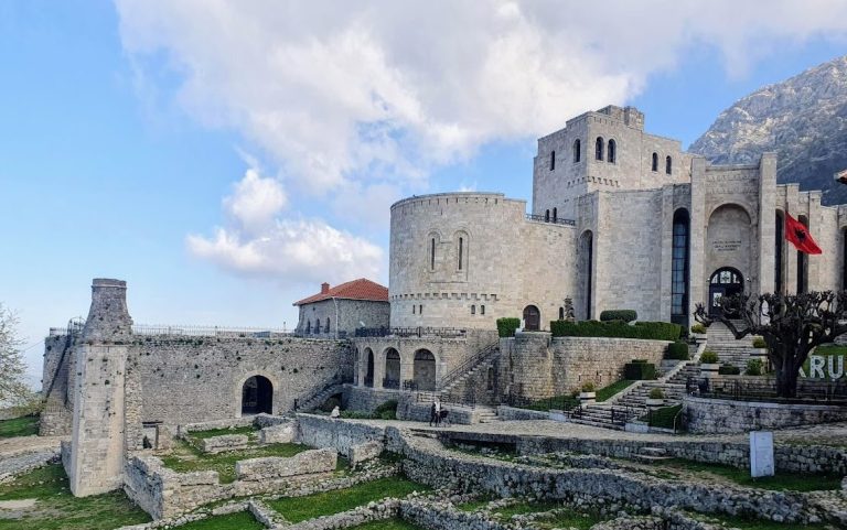
Stone walls surround the enclosure. They average about 1.4 metres in thickness and reach approximately 6.5 metres in height, although surviving sections stand at different levels. Brick courses decorate the walls below the parapet, or wall-walk. Four circular corner towers reinforced the enclosure, and each accommodated two or three guns. Another account describes a projecting square tower on the exposed western wall and a square gate tower on the southern side. A further square watchtower has been mentioned at either the southwestern wall or the southeast, but its precise position remains uncertain.
Entrance and interior
The only entrance passes through a gate building in the southern wall. Its entrance complex included a small forecourt, while the inner section originally contained sleeping quarters for the guard. That space was later converted into a mosque, which could also be reached from the village by an external staircase. The original fortress cistern remains visible inside the enclosure.
Clock tower and external well house
Clock tower
The clock tower stands on the foundations of the former circular eastern tower but was built separately from the original defensive system. Johann Georg von Hahn described a square clock tower around 1850, and an inscription records its renewal in 1858. The tower was destroyed during the First World War and rebuilt in the 1930s with a modified upper section and without its earlier steep pointed roof. A tall pyramidal roof was added in the late 1930s. After the tower partly collapsed in the 1960s, it was rebuilt with a much flatter pyramidal roof in a local style. Part of the structure collapsed again in the 2019 earthquake, leading to reconstruction from 2021.
Ottoman well house
Outside the entrance, beside the road approaching from the west, stands a stone-domed well house in the Ottoman style. It dates from the eighteenth or nineteenth century and probably belonged to an earlier Bektashi tekke, a lodge or shrine associated with a Sufi religious order. Bektashism is a Sufi tradition with a strong historical presence in Albania.
Construction phases
The complex developed through four broad construction phases. These comprised the original enclosure walls, rebuilding of the surrounding walls, construction of buildings within the enclosure, and the later addition of the clock tower. The first phase is represented by the enclosure walls, while the surviving complex also incorporates later Ottoman alterations and substantial twentieth-century reconstruction.