Potentia: A Roman Coastal Colony in Italy
Site at a Glance
- Popularity
- Medium
- Country
- Italy
- Primary era
- Classical
- Eras represented
- Classical
- Civilizations
- Roman
- Site type
- City
On this page14 sections
History
Potentia was a Roman coastal colony near modern Porto Recanati, Italy, founded between 189 and 184 BC; 184 BC is also given as its foundation year. Its establishment formed part of Rome’s colonization of the Adriatic coast and began the first substantial urban development in the lower Potenza Valley and northern Picenum, an ancient region of central Adriatic Italy.
Foundation and Republican growth
The colony’s foundation is attributed to three officials, or triumvirs, Marcus Fulvius Flaccus, Quintus Fulvius Nobilior, and Quintus Fabius Labeo. Rome intended Potentia to provide land for veterans of the Punic Wars, the conflicts between Rome and Carthage, and to help defend the coast from Illyrian pirates from the eastern Adriatic region. Roman control of Picenum had begun in 268 BC, before this later phase of coastal settlement.
The site offered fertile land and access to a route across the Apennines between the Tyrrhenian and Adriatic coasts. The Potenza, called the Flosis in antiquity, then reached the sea just south of the colony. Its mouth could serve as a port, supporting trade while also forming a natural barrier.
Potentia grew during the second and first centuries BC. A merchant class, active and probably prosperous, financed substantial public building. Finds point to flourishing local production of fired-clay objects and likely commercial links with Etruria, Latium, and Samnium. Terracotta finds also indicate the presence of the Oppii, an influential banking family. Ennius, an early Roman poet, may have lived at Potentia or at the neighboring colony of Pisaurum, but his home is uncertain. Pliny the Elder, Livy, Ptolemy, Pomponius Mela, and Velleius Paterculus all included the colony in their writings.
After 174 BC, evidence for activity becomes less frequent, perhaps reflecting a temporary decline. Civil wars and the severe earthquake of 56 BC, which Cicero mentioned, may have contributed to the setback.
Imperial prosperity and crisis
Potentia prospered under Augustus, Rome’s first emperor, and reached its greatest extent. The region became Regio V Picenum, the Roman administrative district for Picenum. The city center took on a more monumental character during this period, while the quality of its artifacts and probably its trade flourished into the second century AD. Building and investment continued under the Antonine emperors, the second-century dynasty.
The city faced major difficulties during the Crisis of the Third Century, a period of political and military instability in the Roman Empire, and suffered a marked decline. A recovery is dated to the second half of the fourth century. In 409, the Visigothic king Alaric I may have captured and partly destroyed Potentia.
Christianization and late antique occupation
The burial of a temple during this late antique period points to the colony’s Christianization. Potentia became a bishopric in the fifth century. Bishop Faustino, recorded between 418 and 422, represented Pope Zosimus in Africa as a papal envoy and attended the Council of Carthage, a meeting of Christian leaders. He is the first documented bishop of the Marche.
Potentia remained inhabited during the Greco-Gothic War, the sixth-century conflict in Italy between the East Roman Empire and the Ostrogoths, and at least into the early seventh century. Fine objects made in North Africa support this evidence for continued occupation. The settlement eventually ceased to function as an urban center.
Frontier changes and archaeological work
After the Lombards arrived in the Marche region after 570 and established the Duchy of Spoleto, the area around Potentia became a frontier zone. The Musone River marked the boundary with the Byzantine Pentapolis, a district of five cities associated with Ancona. In 580, the Potenza marked the boundary with the Diocese of Fermo, the church district centered on that city.
Nereo Alfieri located the archaeological site in 1940. Liliana Mercando directed investigations of its first architectural remains in the 1960s and 1970s. From 1986 to 2006, Edvige Percossi of the Marche archaeological superintendency led systematic excavations. The Potenza Valley Survey Project, led by Frank Vermeulen of Ghent University, combined aerial coverage, landscape study, artifact surveys, geophysical methods that detect buried features, and excavation to clarify the site’s chronology and map its principal remains.
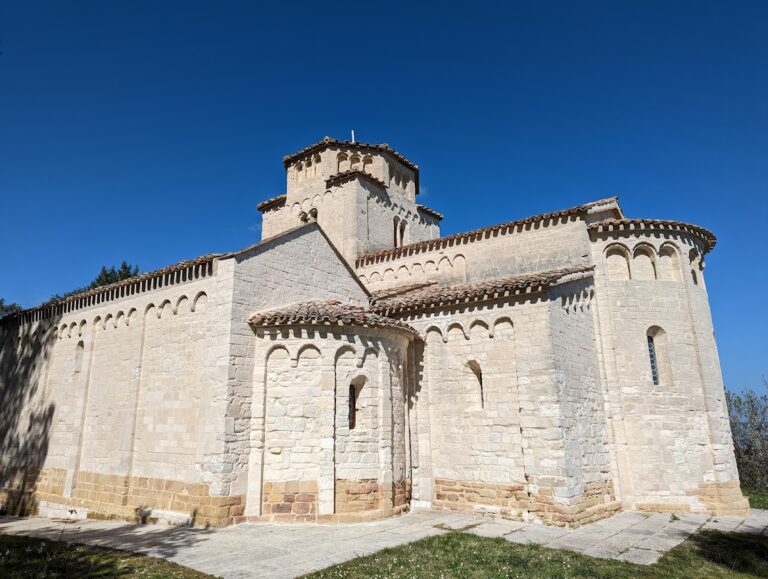
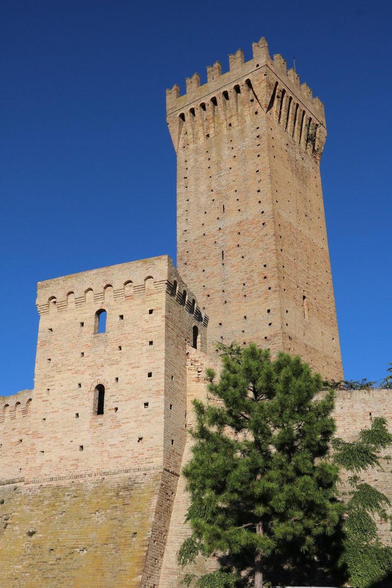
In 2009, a permanent exhibition called Divi & Dei opened inside the Swabian castle in central Porto Recanati. It displays statues found in the Roman city and uses multimedia to present Potentia’s history.
Remains
Urban layout and defenses
City plan and street grid
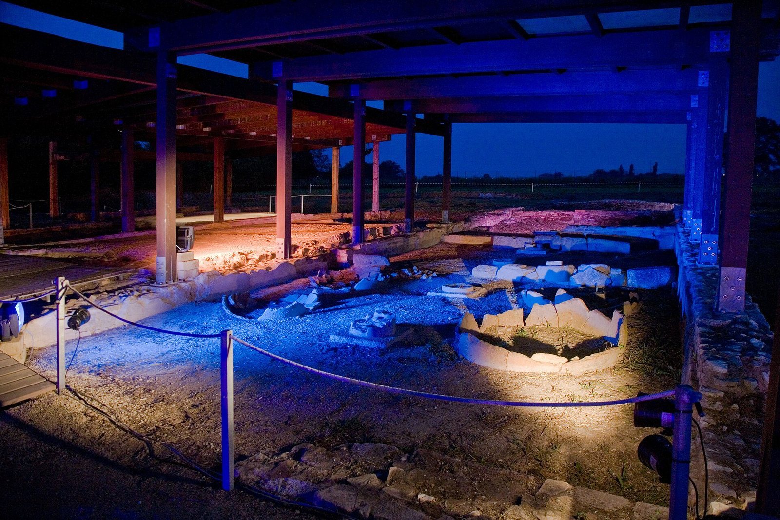
The archaeological area lies at Santa Maria in Potenza, within modern Porto Recanati. Potentia stood just north of the main Roman course of the Potenza, whose mouth was then south of the colony; the river now runs more than a kilometre north of the site. The colony’s territory extended over more than 162,000 square metres, while its built-up area in the second century BC was smaller than it became from the beginning of the Common Era. The town had a roughly rectangular plan, about 525 by 350 metres, aligned parallel to the coast. A regular grid divided it into at least 58 city blocks of varying sizes. Its principal north–south and east–west streets crossed near the center, with the forum, the civic square, southwest of their intersection.
Wall, gates, and roads beyond the city
A circuit wall was built ten years after the colony’s foundation and probably had three major arched gates. The north and west gates have been located, each roughly central along its side of the town and connected to a road outside the walls. Excavation has exposed the western gate. Streets were about five metres wide and generally had surfaces of compacted river pebbles. Some included one or two parallel footpaths, and brick sewers ran beneath the roadway. Cemeteries bordered all three roads leading out through the gates, with funerary monuments facing the roads.
Public and residential buildings
Forum and civic complex
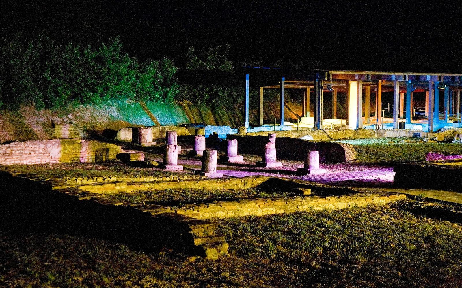
By about 174 BC, Potentia probably had streets and sewers, an aqueduct, a temple to Jupiter, and a colonnaded walkway with shops enclosing the forum. Sections of the forum’s walkways and shops survive in the central urban area, along with stretches of paved road. Survey work has identified a principal temple and a food market near the forum, as well as a possible large public hall and a possible council house.
Late Republican temple
A temple dating to the second century BC stood east of the forum, surrounded by a colonnaded walkway. It rested on a high platform, and many architectural pieces made of fired clay came from the building. Other structures from the Republican period, before the imperial era, and from the Imperial period have also been excavated.
Theatre and possible bath building
A small theatre stood near the eastern wall of the city. A possible bath building has been identified in the southern part of the site.
Houses and shops
Surveys have identified substantial private houses, shops, simpler dwellings, and other commercial premises distributed among the city blocks. The central area includes the remains of a substantial house with mosaic floors and walls decorated with frescoes.