Ponte Filippo Maria Visconti: A Medieval Stone Bridge in Savona, Italy
Site at a Glance
- Popularity
- Very Low
- Country
- Italy
- Primary era
- Medieval
- Eras represented
- Medieval, Early Modern, Modern
- Civilizations
- Duchy of Milan, Genoese, Holy Roman Empire, Italian
- Site type
- Infrastructure
- Remains
- Bridge
On this page11 sections
History
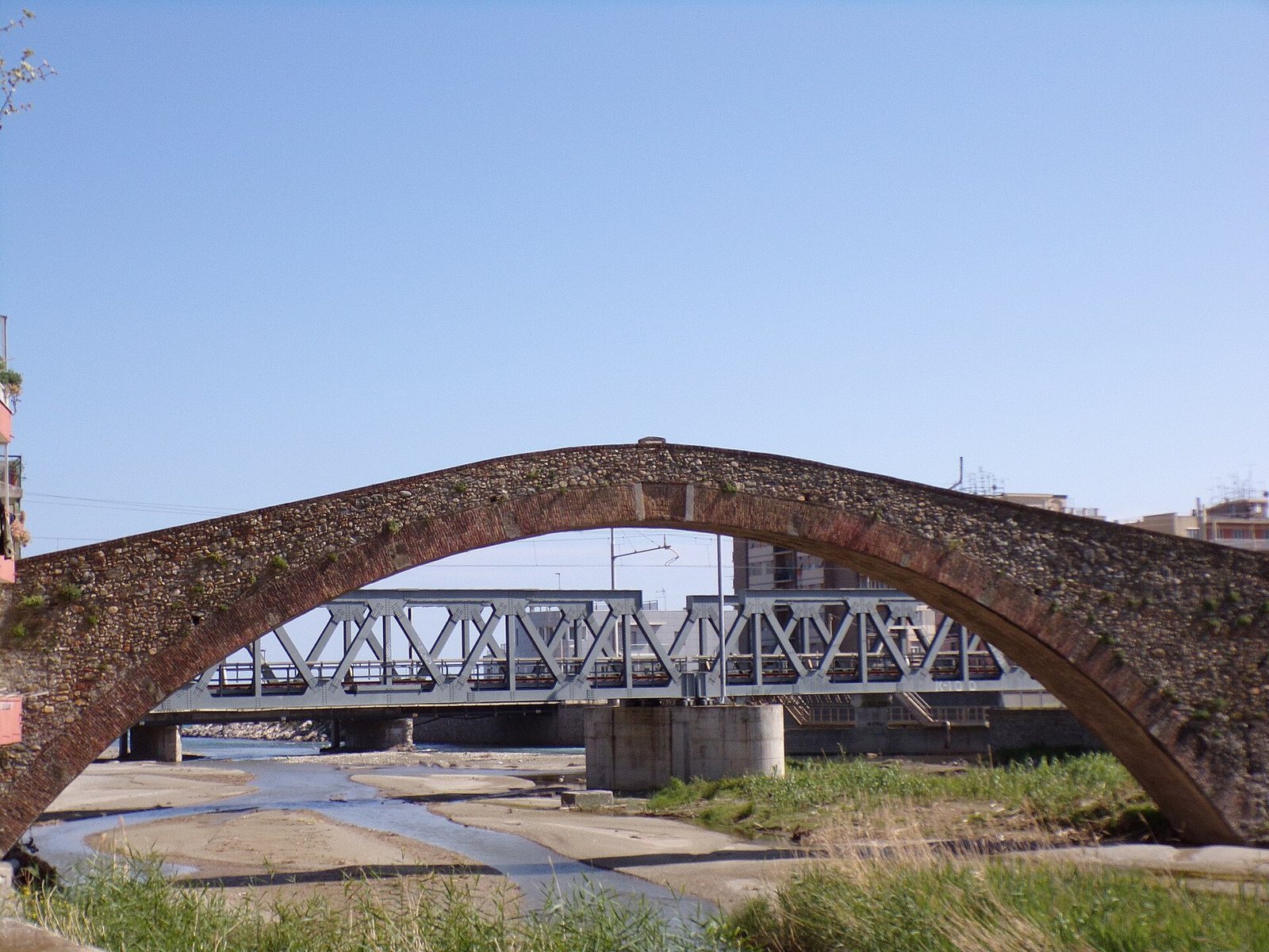
Ponte Filippo Maria Visconti is a medieval stone bridge over the Quiliano stream at Zinola, between Savona and Vado Ligure in Italy. Its 15th-century structure was completed in 1434 during Filippo Maria Visconti’s rule over Savona.
Early crossing and 15th-century rebuilding
A bridge at this crossing is known by the late 13th century. The 15th-century bridge was built over an earlier structure, which a local historian described as having several stone arches and probably being swept away by a flood. A Roman road and bridge may also have crossed here, but that connection is uncertain. The route may instead have followed the Rio Quazzola inland. In the Roman imperial period, Savona was a village, while Vada Sabatia, associated with modern Vado Ligure, was more developed and had a more usable natural harbor.
Stone construction was underway by 1431, and the bridge was finished in 1434. Its completion inscription names Filippo Maria Visconti as Duke of Milan and lord of Genoa, and Francesco Barbavara as his lieutenant in Savona and the western Riviera. The bridge is also called Punte de Prìa, meaning Stone Bridge, and is popularly known as Ponte Romano, Ponte dei Saraceni, and Ponte di Zinola. A local historian’s account may have helped spread these alternative names.
Repairs and changing use
Municipal repair decisions followed in 1456, 1605, and 1613. The bridge underwent major reconstruction in the 17th century, followed by smaller interventions through the 19th century. In the second half of the 17th century, Captain Giömu Güstävu had its foundations reinforced. The crossing also helped Zinola grow as a settlement.
Flood and modern alteration
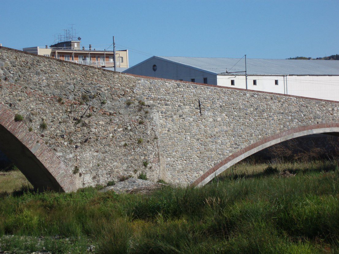
During the flood of 25–27 September 1900, the bridge was the only crossing over the stream to survive, leaving it as the sole functioning route between Savona and Vado. It received cultural-property protection on 22 December 1933. In 2000, work to widen the river mouth led to extensive restoration and restructuring, including demolition of the western ramp and construction of an additional concrete arch.
Remains
The historic bridge is about 30 metres long, with a humpback profile and one large, lowered masonry arch. Most of its stone was quarried at Celle and brought to the site. The arch is considered probably the largest among medieval bridges.
Surviving bridge fabric
Arch and ramps
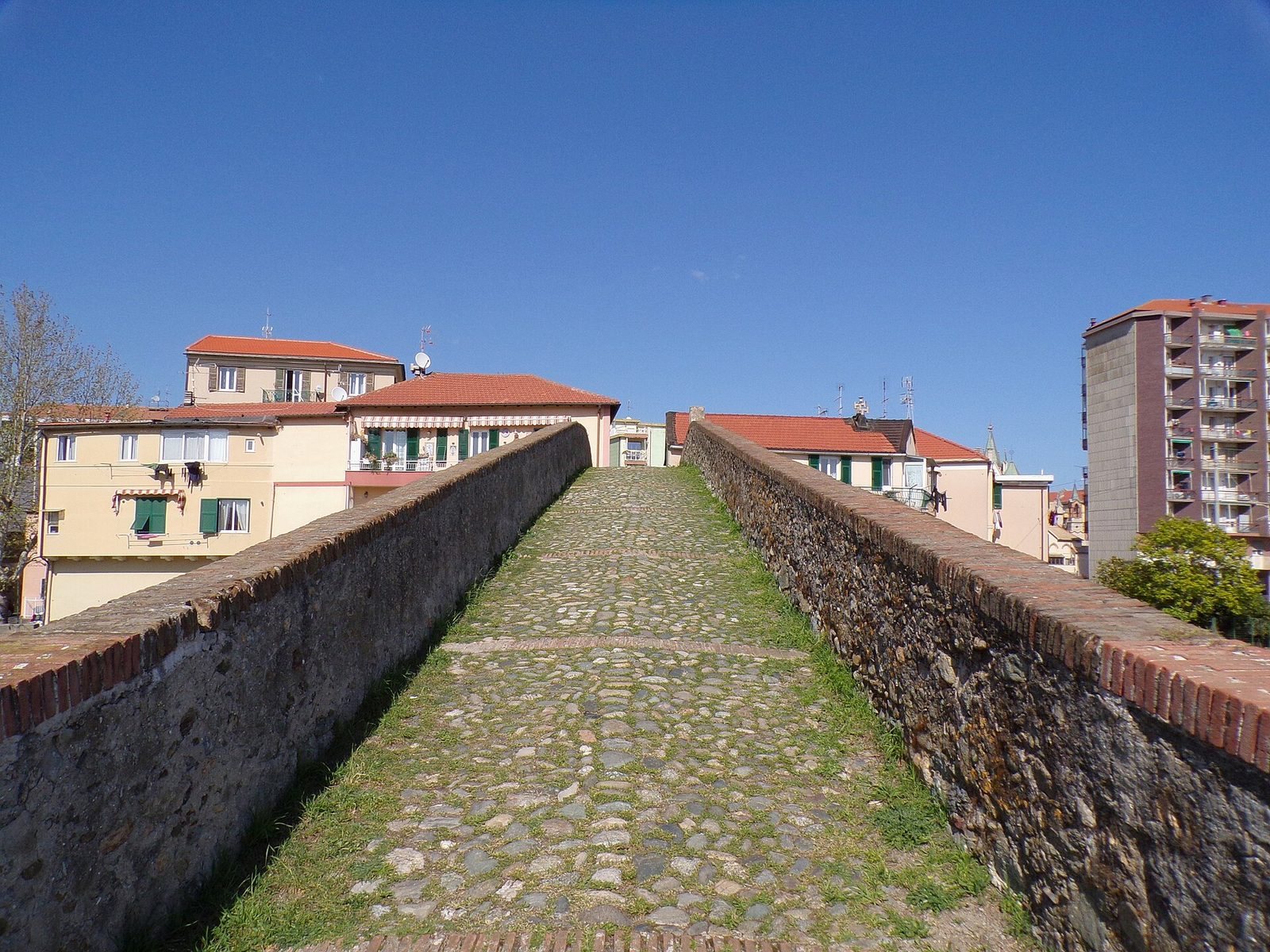
The eastern ramp is partly incorporated into the walls of two houses. The ramps rest on foundations belonging to the earlier bridge. Crosswise walls divide them into sections filled with riverbed gravel mixed with 17th-century ceramic fragments.
Earlier paving and parapet
Surviving traces of the earlier bridge’s paving show rounded stones set around larger ones. The surface lay lower in the middle than at the sides and appears to have seen relatively little wear. Fragments of the earlier parapet are built into the present structure. On the road-facing side, some were apparently set back to create a bench where travellers could rest and put down their loads.
Approaches and archaeological evidence
Historic routes
Older roads crossed the stream here and continued toward Vado. East of the bridge, one route divided: a branch followed the coast through Zinola, while another took higher ground past the old church of Santo Spirito and continued toward Bricchetti. Old cobbled paving may have connected the bridge with Bricchetti and Zinola’s historic centre. The routes are now largely severed or interrupted by the railway, expressway, and municipal roads.
Plaque and paving finds
A plaque fixed to the bridge at the boundary between Savona and Vado Ligure bears its completion inscription. During gas-pipeline trenching on the stream’s right bank in 1952, workers found a paving fragment about 50 centimetres below ground that resembled the bridge paving. A well-laid fragment of stone slabs was found at a depth of about 90 centimetres.