Perperikon: A Thracian Sacred and Political Center in Bulgaria
Site at a Glance
- Popularity
- Very High
- Country
- Bulgaria
- Primary era
- Classical
- Eras represented
- Bronze Age, Iron Age, Classical, Medieval, Early Modern
- Civilizations
- Byzantine, Ottoman, Roman, Thracian
- Site type
- City
On this page29 sections
History
Perperikon is an ancient Thracian sacred and political center in Bulgaria’s Eastern Rhodopes, about 15 km northeast of Kardzhali, where construction of rock-cut cult buildings began in the Late Bronze Age. The site developed over millennia, serving as a religious center and, in later periods, an urban and administrative stronghold.
Prehistoric sanctuary and Thracian center
Human activity at Perperikon reaches back to the sixth millennium BCE. The rocky hill had sacred associations by the late Neolithic and Chalcolithic, or Copper Age, and its use for worship may have begun earlier. Finds from the second half of the Eneolithic, another name for the Copper Age, support the interpretation that a sanctuary was established there during that period.
Thracians, ancient peoples of southeastern Europe, began cutting cult buildings into the rock in the Late Bronze Age. The complex later grew into a religious and political center. The date of its palace is uncertain: it may belong to the Late Bronze Age or to the sixth or fifth century BCE. Interpreted as a royal residence and fortified Thracian capital, it may have been associated with the Odrysian kingdom, one of the region’s major Thracian states. Perperikon was also a major Thracian religious center and a northern outpost of Bronze Age Mediterranean culture.
The site is linked with Orphism, a religious tradition associated with the mythical singer Orpheus and, in Thrace, with worship of Dionysus. Its temple has been tentatively identified as a sanctuary of Zagreus, a deity associated with Dionysus. The Bessi, a Thracian group, are described as guardians of the principal sanctuary. Another interpretation connects the Dionysian shrine with the Satrae, whose priestly clan was the Bessi. Perperikon’s identification as the famous Dionysian oracle, where priests or priestesses were believed to give divine prophecies, remains unproven; other locations in Thrace have also been proposed.
Ancient descriptions associated Perperikon with restricted Orphic festivals and rites that included the symbolic death and rebirth of a king-priest. The accounts also mention human sacrifice and sexual rites, but do not establish that these practices took place at the site. In 424 BCE, Medokos declared himself king of Thrace at Perperikon after the death of Sitalces, an Odrysian king. Medokos was later overthrown.
Roman control and urban growth
Roman campaigns against the Bessi reshaped control of the sanctuary and its region. In 72 BCE, the Roman proconsul Marcus Terentius Varro Lucullus subdued the Bessi. In 29 BCE, Roman forces took the sanctuary and transferred it to the Odrysians. This helped provoke Bessi revolts in 15 and 11 BCE, the latter led by Vologaises, a Bessi king and Dionysian high priest. Rome subsequently established control over Thrace, and the Rhodopes were conquered in 46 CE. The region later formed part of the Roman prefecture of Bessica, an administrative district.
Under Roman rule, Perperikon expanded and became more urban in character, reaching its greatest extent and cultural prominence. A Roman garrison guarded the city, and the governor maintained a residence on the acropolis, the fortified high district. Gothic incursions devastated the Rhodope region in the third century CE. In the second half of the fourth century, the city was captured and burned, then rebuilt during the fifth or sixth century.
Christian and Byzantine periods
Christianity spread through the region from the fourth century and became established by the fifth. Pagan temples were converted or abandoned as churches were built. After the Roman Empire divided, Perperikon came under Byzantine rule. Settlement extended down the hill slopes and to the foot of the hill. As Byzantine control stabilized in the ninth century, the city again served as an administrative center of the Eastern Rhodopes, although it did not regain its earlier prominence.
A church was built over an earlier temple on the acropolis, and Perperikon became a regional bishopric, the district governed by a bishop. In the thirteenth and fourteenth centuries it served both as an administrative center and as a bishop’s seat. A shared administrative unit for Perperikon and Achridos strengthened the fortress’s regional role. In 1339, the bishopric of Achridos was divided, and Perperikon became an independent see.
Contested rule and the end of the fortress
From the seventh to the fourteenth century, Bulgarians and Byzantines competed for control of the Rhodopes. Silver coins of the Bulgarian ruler Ivan Alexander found at Perperikon indicate that he held the site briefly in 1343. Fighting during the Byzantine civil war of 1341-1346 destroyed fortresses across the Rhodopes, including Perperikon, which was not rebuilt.
Ottoman forces probably took Perperikon under Orhan I in 1362, after a long siege. The city and its monasteries were burned and destroyed, and the inhabitants were enslaved. An Ottoman garrison remained for about twenty years, leaving in 1385 as the imperial frontier moved north.
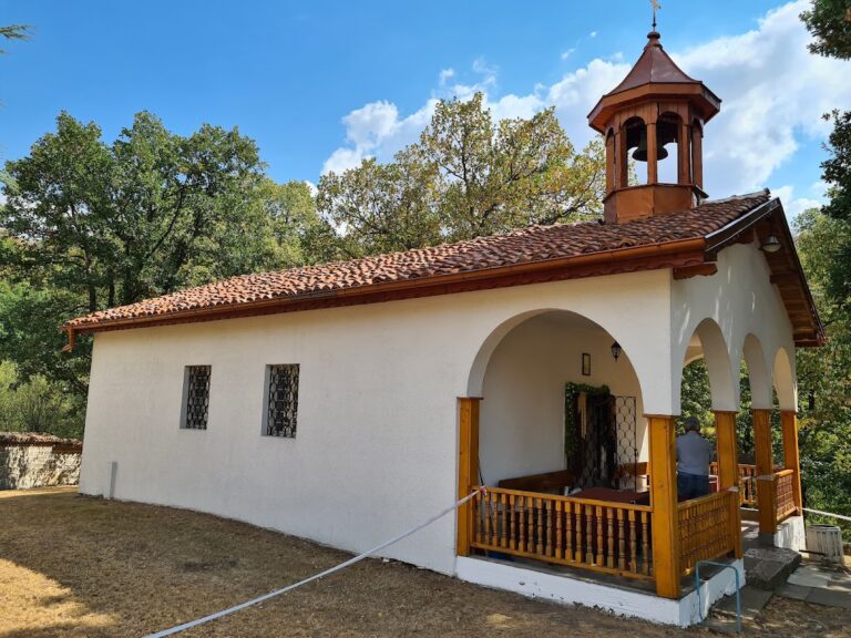
Christian life continued on a smaller scale after the conquest. A sixteenth-century chapel and its cemetery indicate that Perperikon remained a religious center for nearby Christian villages; the last burials there date to the seventeenth century. An Ottoman tax register from 1628-1629 lists two nearby pass-guard villages, Karalar and Dere Machala, consistent with the possibility of continued settlement in the foothills. The region’s ethnic composition changed substantially as Muslim settlement increased in the eighteenth century.
Name, regional setting and modern investigation
The name Perperikon appears in medieval forms such as Hyperpyrakion and Hyperperakion, as well as the shorter Perperakion. The earlier name is uncertain. Some scholars have proposed that Perperek was the ancient Thracian name; other interpretations connect the medieval name with gold refining, altar fire or the gold coin called a perpera. Gold-bearing streams and a major mine near present-day Stremtsi, about three kilometres away, form part of the region’s history. The mine was worked in the last centuries BCE and reopened between the eleventh and thirteenth centuries CE, but a connection between its gold and the name Perperikon remains uncertain.
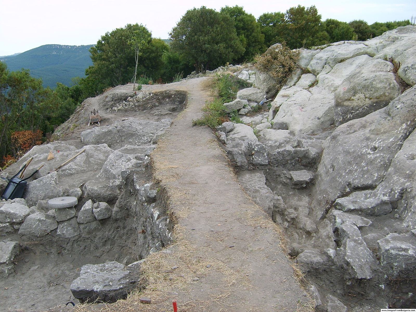
Perperikon entered Bulgarian historical discussion in 1931 and archaeological literature in 1932, when Ivan Velkov described the site. Field investigations took place in the late 1960s and early 1970s, followed by targeted excavations in 1979-1982. Excavations resumed in 2000 under Bulgarian archaeologist Nikolay Ovcharov and have continued; only a small part of the extensive site has been thoroughly investigated. Archaeological methods and the interpretation and presentation of the remains have also drawn criticism. Bulgaria has protected Perperikon as an immovable cultural monument of national significance since 1968, with its boundaries and protection regime updated in 2007.
Remains
Site plan and rock-cut fabric
Setting and urban layout
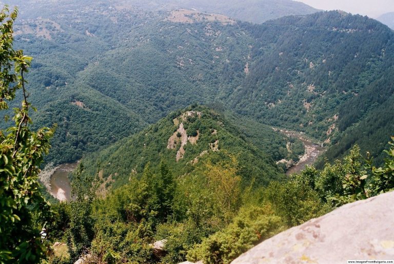
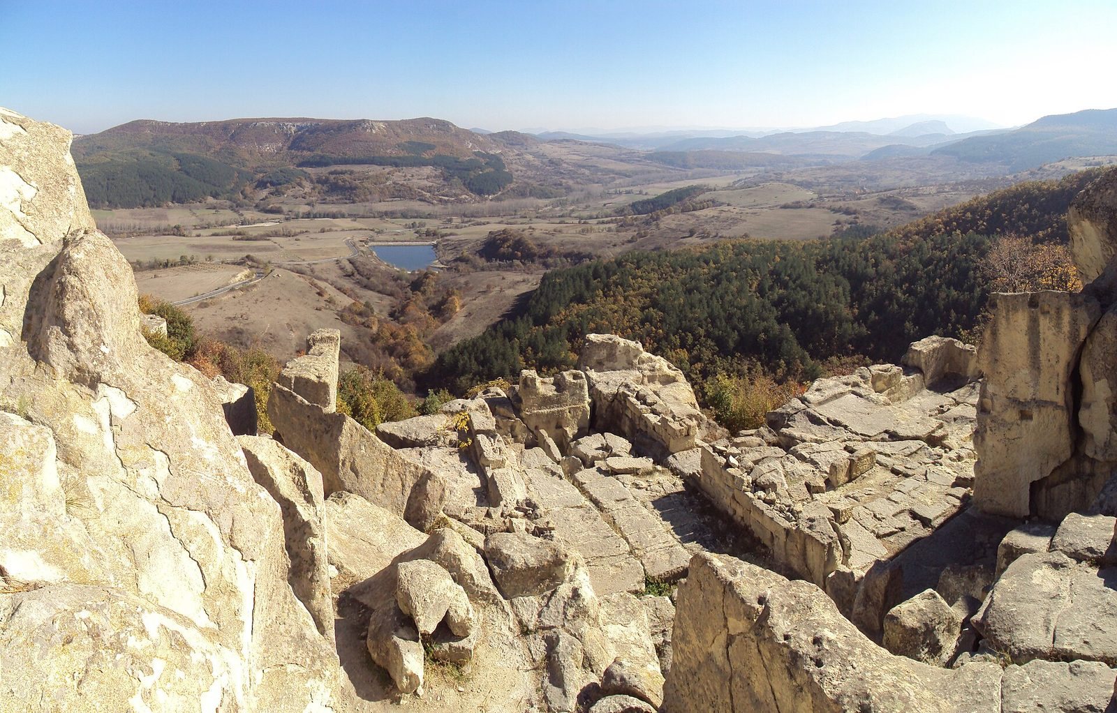
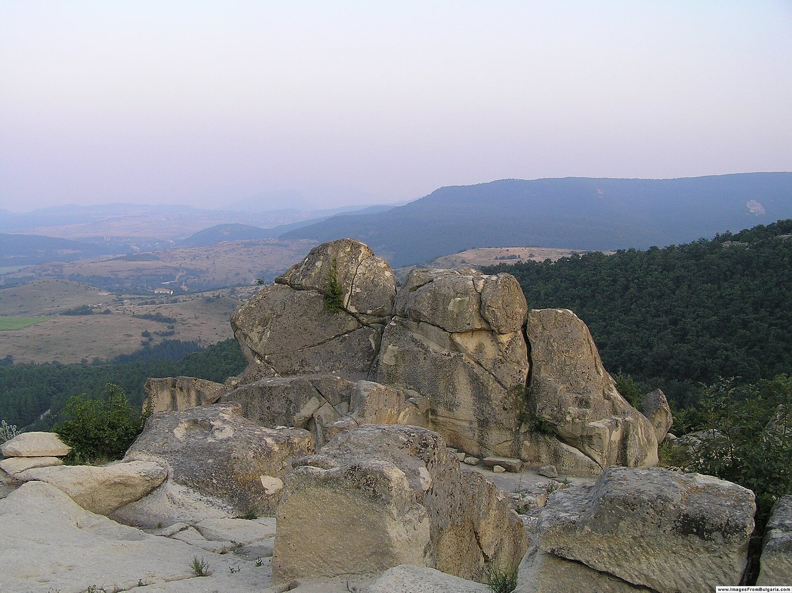
Perperikon occupies a rocky summit about 470 m above sea level, on the right bank of the gold-bearing Perpereshka River and above the village of Gorna Krepost. The hill overlooks a valley roughly 10 km long and 3-4 km wide, lying about 300-370 m above sea level. The formerly settled area is estimated at about 12 km², while the megalithic complex covers about 5 km². The complex brings together a hilltop fortress and acropolis, a temple-palace below and to the southeast, and northern and southern settlements on the slopes.
The settlement’s streets, courts, houses and temples were arranged on several levels in a broad, amphitheatre-like formation. Rock-cut streets and passages connected built and excavated spaces, while drainage channels served the urban quarters. The upper slopes consist largely of soft volcanic rock that could be worked by cutting; weathering and water erosion have also shaped the surface. A spring emerged at the summit.
Early cult features and streets
Among the earliest worked features are south-facing niches, offering tables and altars, together with hollows in the rock that contained coarse ritual pottery. Later construction extended the cut surfaces, and early traces survive in less exposed places. Some sections of the fortress wall were made from carefully stacked stones laid without mortar.
Temples and palace buildings
Northwestern temple
A large rock-cut temple complex occupies the northwestern part of Perperikon. Its roofless hall has an approximately oval plan, with a circular stone altar nearly two metres across, set slightly above floor level at the northern end. Traces of ritual fires and a rectangular platform lie nearby. Some archaeologists identify this complex with the Dionysian sanctuary. After its abandonment during Christianization in the fifth century, the temple was filled with earth.
Great Temple
The larger structure known as the Great Temple extends about 100 m in length and 10-12 m in width. It is cut 3-4.5 m into the mountain and has an interior arranged across three levels. At its eastern end is a carved lion standing on all four legs. A sacred route leads to the temple.
Thracian palace
The palace occupied an uneven plateau enclosed by a strong defensive wall. Covering about 10,000 m², it contained around 50 rooms, corridors, halls and interior stairways. Its large reception hall, about 30 m long, was partly cut into the rock; underground mausoleums lay to its west and east. The complex included throne rooms, spaces associated with oracles, service rooms and burial places for members of the royal family. The large hall has been compared with the megaron, a major hall form in ancient Mediterranean palaces.
An earlier, smaller temple was incorporated at the palace’s northwestern corner, creating a stepped arrangement over several levels. Its oval hall was open to the sky. A steep stone approach leads to an altar about 3 m high and 2 m in diameter, with four round sockets nearby that may have held torches.
Lower palace buildings and offering places
Remains of a second and third palace lie at the southern foot of the hill amid woodland. Other buildings, water reservoirs and stone passages stand nearby. About 100 offering altars have been found in the surrounding area.
Fortifications and water systems
Acropolis and defenses
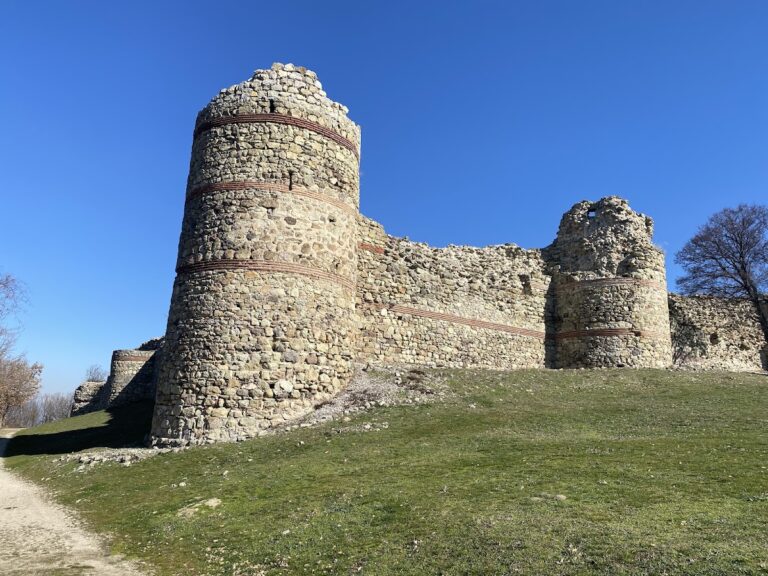
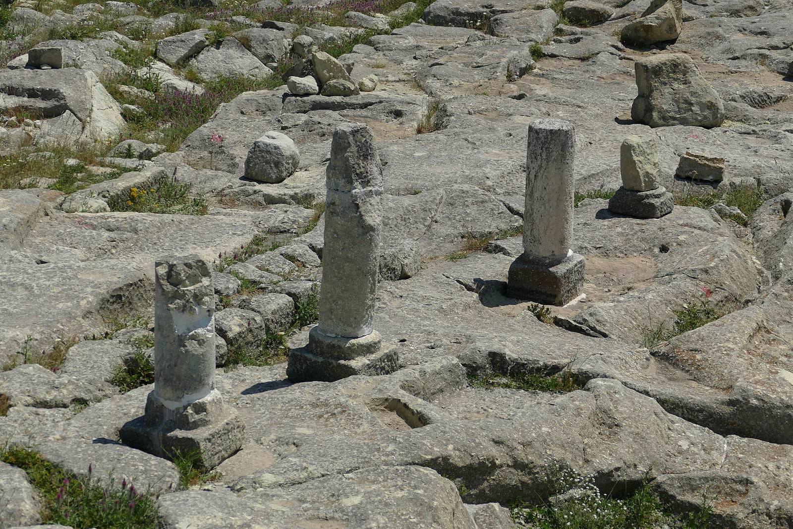
The acropolis occupies the hill’s highest point and includes substantial stone construction and a colonnade. Three gates stood in sequence within the upper fortress, and square sockets for fixing the inner gate remain cut into the rock. Roman-period walls, 2.8 m thick, enclosed temples and residential districts. The rock-cut fortress is described as three to four storeys high. In the Byzantine period, earlier walls were repaired and additional defenses strengthened the vulnerable western side of the acropolis.
Medieval defenses and slope settlement
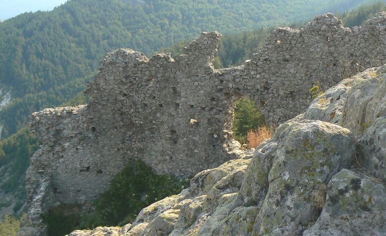
A medieval tower and about 40 m of wall were identified in the upper fortress. The tower had been wholly ruined before excavation and was later partly rebuilt with cement. Some older roads continued in use, while houses in the settlement at the hill’s foot included partly sunken dwellings.
Reservoirs and drainage
The largest ancient rock-cut reservoir on the Balkan Peninsula measures about 12 m long, 6 m wide and 6 m deep. Outlines of two further reservoirs have been exposed, and the combined capacity of the three is estimated at about one million litres, potentially enough to serve a population exceeding 10,000. The main reservoir supplied the city during its prosperity in the third and fourth centuries BCE. Drainage channels formed part of the wider system serving the multi-level settlement.
Churches and monastery
Acropolis church
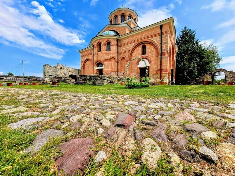
The medieval church on the acropolis was built over the remains of a Late Antique temple. Its dressed stones were set in mortar, and a later alteration added a projecting apse at the eastern end. A large cemetery developed nearby.
Churches in the central fortress
One church foundation in the central fortress belongs to a single-nave building with two entrance vestibules. Another single-nave church, 16.5 m long, had an apse at one end. Parts of a large carved capital survive, and a burial chamber beneath the church contained stone sarcophagi.
Medieval monastery
The monastery dates from the tenth to fourteenth centuries. Its basilica, a church with a long central nave, lies in ruins about 1.5 m underground. The floor used cut pieces of stone arranged as decorative patterns, with mosaic scenes interpreted as parts of a life cycle. Rooms surrounded the main church. One chapel-like burial chamber contained a sarcophagus and the bones of an unidentified Byzantine bishop.
Later chapel and cemetery
A small church of the sixteenth century was found within the remains of an eleventh-century church, with a cemetery beside it. A bronze fitting from an icon bears an inscription naming Charitonos, who may have been the chapel’s patron.
Archaeological finds and burial evidence
Prehistoric pottery and ritual objects
Late Bronze Age pottery includes small cups and vessels with tall, curved handles. Some were made from coarse clay mixed with stone, while finer vessels have glossy black surfaces. A fragment bearing a five-rayed sun surrounded by flame-like rays came from a building drain with other pottery and dates to the fifteenth to twelfth centuries BCE. A nearly complete imported vessel from the Marmara coast, dated to the eighteenth century BCE, carries an incised scene of six figures around a central sun, filled with white material.
A stone tablet found in 1982 and later rediscovered during museum cataloguing is a fragment of a longer inscription in Linear A, an undeciphered writing system used in Bronze Age Crete. It dates to the fifteenth or fourteenth century BCE. Late Chalcolithic pottery fragments were found near old earth ramps. Two clay figures from the third to first centuries BCE depict a cobra, of which only a fragment survives, and a dragon with an open mouth and mane. They are interpreted as cult objects and may belong to the Zepina culture, an archaeological grouping associated with the Rhodopes.
Metalworking and gold
Finds from 2006 include axe moulds, bellows used in smelting, arrows, crucibles and metal hinges. Together, they indicate that Perperikon was a metalworking center in the thirteenth century BCE. A large gold hoard, dated to about 4,000 years ago, was discovered at the site in 2003.
Christian and medieval objects
A church pulpit found in 2005 probably dates to the late fourth or early fifth century. Carved reliefs include a clearly visible eagle with outstretched wings, and five Greek inscriptions whose meanings remain uncertain. Seals from the tenth and twelfth centuries were found in the monastery basilica; one, made of black onyx, bears an image of the Archangel Michael. A gold coin of the Byzantine emperor Michael IV, from the first half of the eleventh century, was found with a fine balance. Silver coins of Ivan Alexander also come from the site.
A cross-shaped container for religious relics, dated to the ninth or tenth century, held a piece of wood believed to come from Christ’s cross. Pieces of wood identified as relics of the cross were also found in the temple in 2002 and are now displayed in the historical museum in Kardzhali. Iron crosses and about 60 other religious objects were found in the citadel, where residents had taken refuge. Many crosses were bent, broken or cut. Excavations beside the citadel also uncovered broken weapons, improvised graves and 70 damaged bronze and silver altar crosses, evidence of violent fighting.
Graffiti and graves
Graffiti carved into the highest rocks have been attributed to Proto-Bulgars associated with Khan Kuber, a seventh-century leader. Their designs include a symbolic board game and ritual figures interpreted as female sexual symbols, possibly connected with Umay, a fertility goddess in Turkic religious traditions.
A 2007 rescue excavation in the planned visitor-center area uncovered a medieval church and cemetery. Six decapitated men may have been executed during the 1362 siege. Displaced skulls, including an extra skull in one grave, suggest that some bodies may have been buried before their heads. The remaining graves contained men, women and children and appear to belong to earlier, peaceful periods.