Patallaqta: An Inca Settlement on the Road to Machu Picchu
Site at a Glance
- Rating
- 4.7
- Popularity
- Very Low
- Country
- Peru
- Primary era
- Medieval
- Eras represented
- Medieval
- Civilizations
- Inca
- Site type
- City
On this page7 sections
History
Patallaqta is an archaeological Inca settlement in Peru’s Cusco Region, southeast of Machu Picchu. Founded around 1450 by the Inca, the Andean imperial civilization that governed much of the central Andes before the Spanish conquest, it stood on the Inca road system and was abandoned in 1536.
Foundation and role on the Inca roads
Patallaqta accommodated residents, travelers, and soldiers assigned to Willkaraqay, a fortified hill above the settlement. The site is also known as Patallacta, Llactapata, and Q’ente Marka, a Quechua name meaning “hummingbird village.” The name Llactapata was used for more than one site, creating some uncertainty in older identifications.
Destruction and modern identification
In 1536, Manco Inca Yupanqui, an Inca ruler who led resistance against Spanish domination, burned Patallaqta while retreating from Cusco toward Vilcabamba. The destruction of settlements along the Inca roads was intended to deprive Spanish forces of food and supplies. This strategy contributed to the Spanish failure to discover the route to Machu Picchu and its associated settlements.
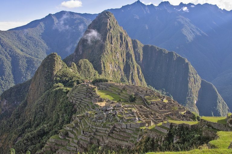
Hiram Bingham passed Patallaqta in 1911 while traveling toward Machu Picchu. His associate Herman Tucker identified the settlement as Patallacta and reported about 100 houses. A checkpoint sign along the Inca Trail, the modern name for a route following part of the historic Inca road network toward Machu Picchu, also used the name Llactapata. Patallaqta is recognized as part of Peru’s Cultural Heritage.
Remains
Urban settlement
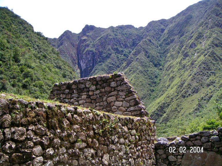
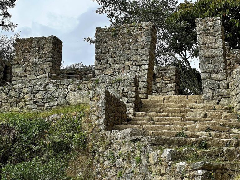
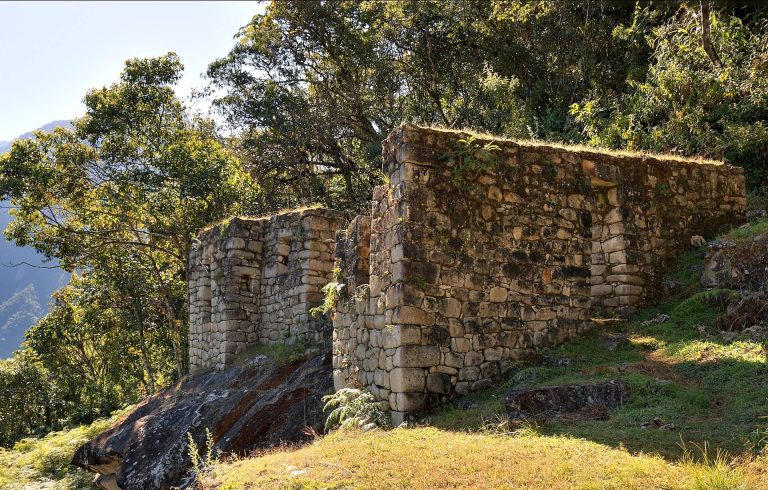
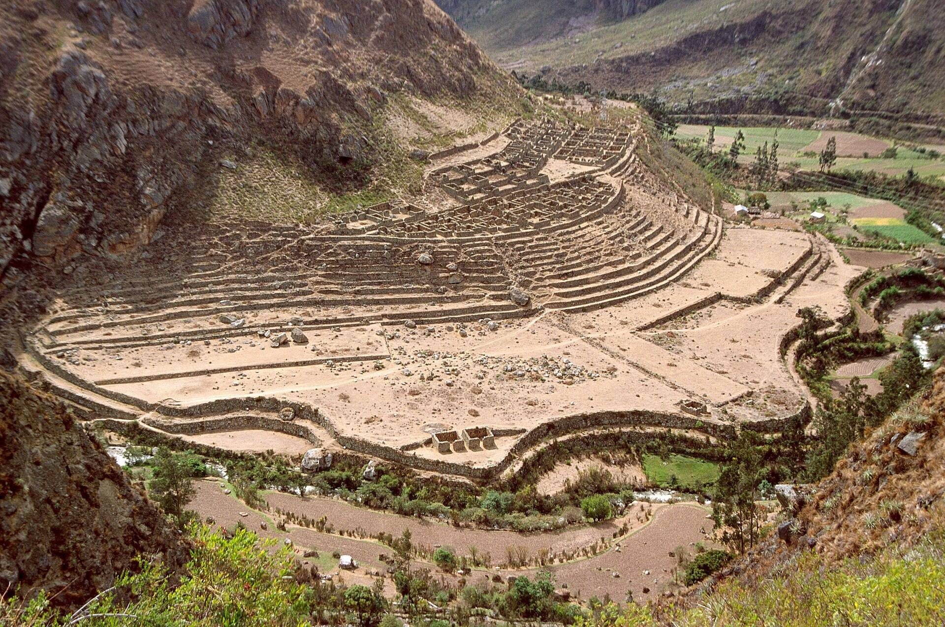
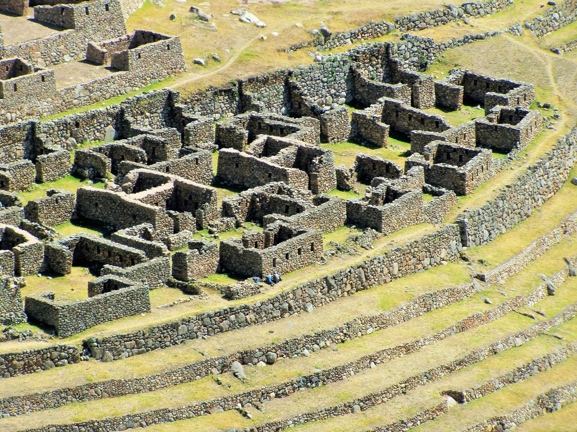
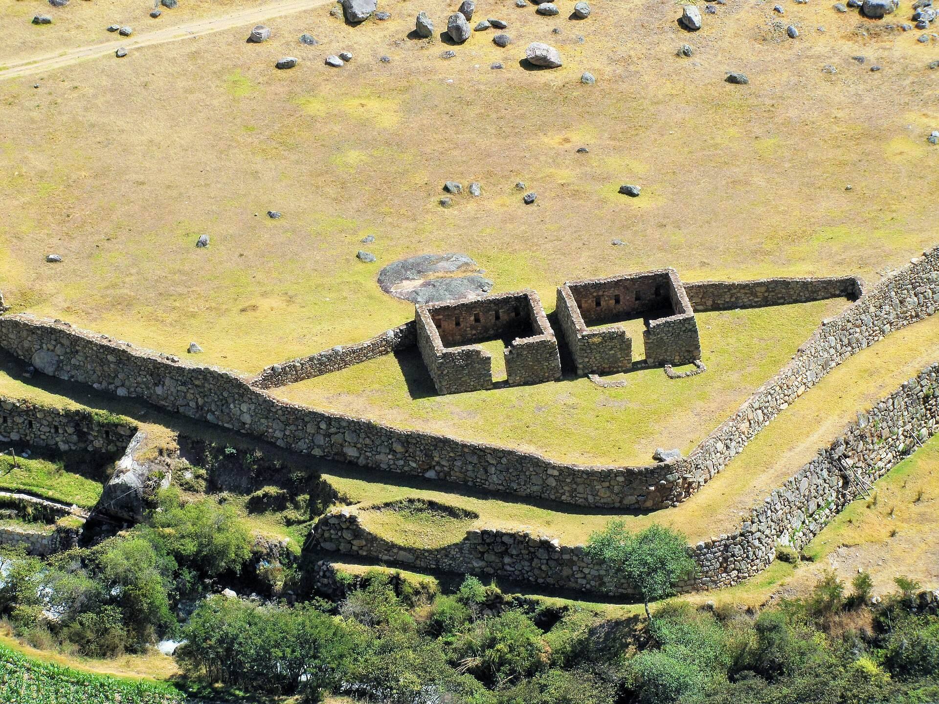
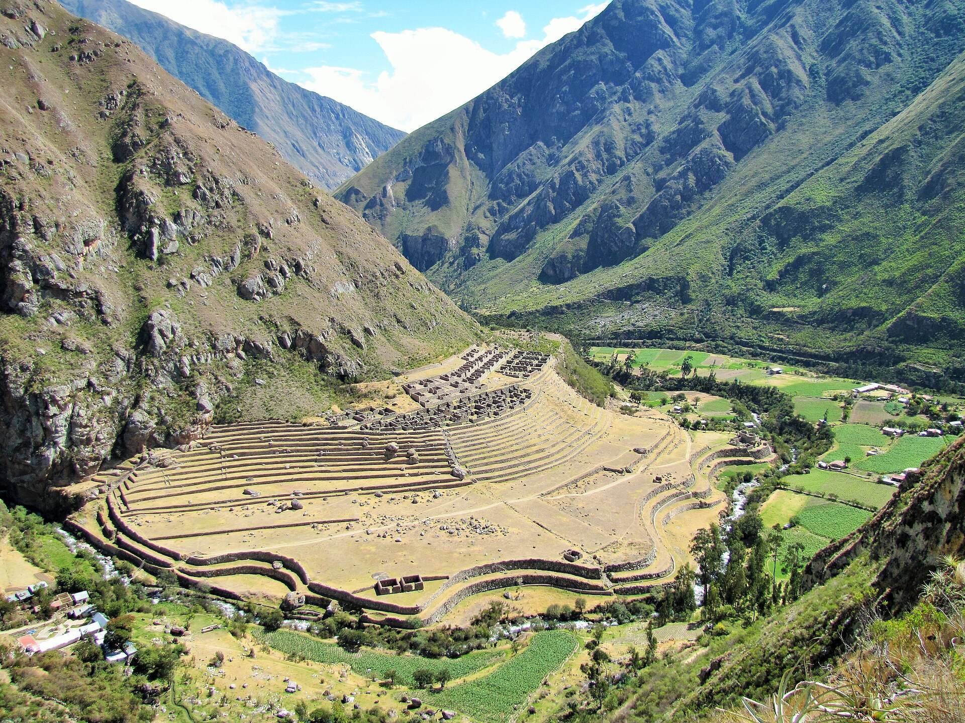
Patallaqta occupies a roughly level elevated surface on the right bank of the Vilcanota River, at the confluence of the Cusichaca and Vilcanota rivers. The settlement was built on the mountain called Patallaqta and comprised 112 rough-stone buildings joined with clay mortar, with carved stones incorporated into the construction. Internal roads and a central trapezoidal plaza divided the urban sector into three subsectors. The eastern area contained four large architectural groups, the central area held two large blocks with paired plazas, and the western area had several plazas bordered by buildings facing one another. Altogether, the urban sector contained 23 building groups, 109 rooms, 38 courtyards, and 63 roofless spaces.
Agricultural sector
The agricultural sector extended for approximately 600 by 150 meters and was divided into two subsectors. Near the urban center, the upper area contained 12 long, narrow platforms that also functioned as supporting terraces. The lower area contained about 13 large agricultural terraces, level or stepped platforms cut into sloping ground to support cultivation and manage water and soil erosion. Irrigation made farming possible, with water drawn from the left bank of the Cusichaca River.
Ceremonial and defensive features
Outside the central concentration of buildings stood Pulpituyoc, a ceremonial shrine or area with rounded walls and religious and ceremonial functions. Roads, paths, and stairways connected it with the settlement. Above Patallaqta, Willkaraqay formed a hill fort that controlled the surrounding region and also contained an observatory. The settlement lay approximately 1.5 kilometers from the beginning of the Classic Inca Trail.