Moray: An Inca Terraced Archaeological Complex in Peru
Site at a Glance
- Rating
- 4.7
- Popularity
- High
- Country
- Peru
- Primary era
- Medieval
- External website
- Open
- Eras represented
- Medieval
- Civilizations
- Inca
- Site type
- Economic
- Remains
- Production Complex
On this page12 sections
History
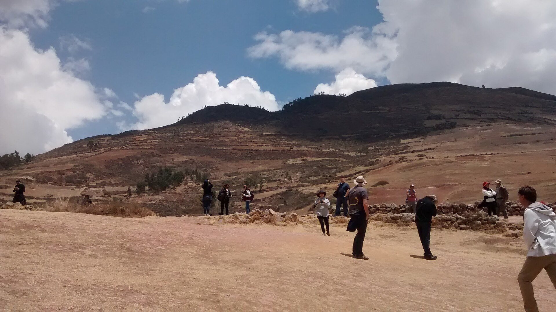
Moray is an Inca archaeological complex on a high plateau near Maras in Peru, within the Sacred Valley of the Incas, at approximately 3,500 metres above sea level. The site was created by adapting natural depressions into a terraced landscape, although its precise construction date and original purpose remain uncertain.
Inca Development and Proposed Uses
Before the area became part of the Inca state, it belonged to the Maras-Ayar Macas tribes. The Inca state, also called Tahuantinsuyo, was the Andean empire ruled from Cusco, whose administration relied heavily on agricultural production adapted to different elevations and ecological zones. The Incas reshaped the natural hollows at Moray into concentric terraces.
One interpretation places the construction after the expansion associated with Pachacútec, an Inca ruler linked with major territorial growth and political reorganization, and after the defeat of the Chanka people. This proposed sequence connects Moray with the wider knowledge of ecological zones brought into the Inca state through expansion, but it does not provide a securely established construction date.
Moray may have supported agricultural experimentation, the adaptation of crops, or the calculation of production for the Urubamba Valley and other parts of the Inca state. The terraces could have been used to test crops under different combinations of elevation and climate. Proposed activities also include developing valuable crops such as coca and estimating agricultural yields.
The agricultural-laboratory interpretation is not universally accepted. John Earls developed it partly from soil-temperature measurements made in 1975 and 1976. Those measurements identified temperature differences of several degrees between parts of the depressions, while other measurements indicated differences of up to approximately 15 °C between upper and lower levels. More detailed readings distinguish sectors with average soil-temperature differences of about 2–3 °C.
These variations have been linked to the depth and orientation of the depressions, their exposure to wind and sunlight, the deep shadows cast by their slopes, and the differing elevations of the terraces. Moray may therefore have reproduced around 20 ecological or agricultural zones in one complex. Evidence for intensive cultivation, however, remains inconclusive. Only the lowest terraces of the largest depression have sufficient natural moisture from their proximity to groundwater, while the other levels would have required irrigation. Soil-pollen evidence for maize is ambiguous, and maize pollen in the deepest depression may come from later cultivation.
Water Management and Religious Interpretation
Moray contains two short sections of channels from a spring and several stone reservoirs that might have supplied water. A complete irrigation network has not been identified. It may have been started but left unfinished after the Spanish conquest. Kenneth Wright argued that fully irrigating the terraces could have destabilized the slopes and caused landslides, although drainage installations indicate deliberate efforts to control excess water.
A second interpretation regards Moray as a sacred place used for religious ceremonies. The carefully executed terraces may have gone beyond purely practical agricultural needs. Worked rock fragments deliberately left visible within the complex may have functioned as huacas, sacred objects or features in Andean religious traditions. The cascading water associated with the site may also have carried symbolic meaning.
Later History and Preservation
After the Spanish arrived in 1533, Moray’s subsequent use is not documented. Dense vegetation later obscured and buried the complex. It became widely known after the Shippee-Johnson expedition discovered it from the air in the early 1930s.
Moray is recognized as Cultural Heritage of the Nation of Peru and is managed by the country’s Ministry of Culture. Exceptional rainfall in the Cusco region during the 2009–2010 rainy season undermined the stone-and-compacted-earth terraces. The eastern side of the principal circle collapsed in February 2010, and temporary wooden supports were installed while reconstruction and repair were pending. Continuing rainfall and incomplete maintenance have remained threats to the site’s physical survival.
Local communities continue to hold the Moray Raymi, or Festival of the Sun, at the circular terraces in October. Its dances are associated with the land, agricultural products, and farming labor.
Remains
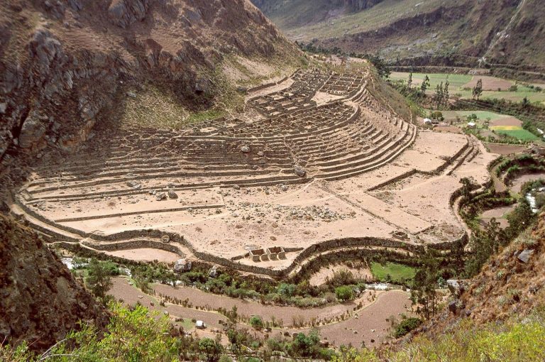
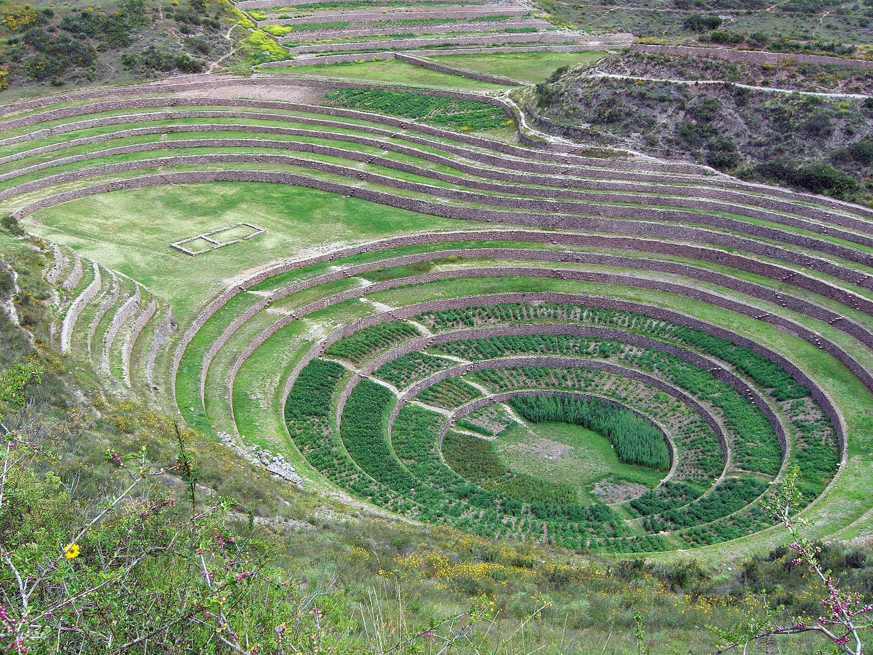
Moray covers approximately 92 acres and consists of four main circular depressions, open areas, building remains, paths, walls, channels, and reservoirs. The principal terraces were built from stone and compacted earth inside natural hollows. Three of the depressions occupy karst sinkholes, natural hollows formed when soluble bedrock is dissolved or weakened underground, while the fourth and smallest lies in a depression created by a landslide.
Circular Terraces
Quechuyoc Muyu
The largest depression, Quechuyoc Muyu, also identified as A, exceeds 400 feet in diameter and reaches approximately 30 metres in depth. Its concentric terraces expand in a series of rising rings, with each level overlapping or standing above the next. Projecting stones set into the terrace walls form steps called sarunas, allowing movement between levels.
Quechuyoc Muyu contains an oval terrace with the stone foundation of a building. Its lowest four terraces are wetter and cooler, while the next sector has average annual soil temperatures approximately 2–3 °C higher. Conditions in the upper sectors vary with seasonal exposure to the sun, and the greatest differences occur during the dry and planting seasons.
Simamuyu
Simamuyu, identified as B, is connected to Quechuyoc Muyu by a broad open area crossed by a large stone wall. The wall may have served as an aqueduct, although that function remains uncertain. As in the larger depression, the depth, orientation, sunlight, and air movement within the hollow contributed to differing conditions between terrace levels.
Intiwatana Muyu
Several structures occupy a level area near Intiwatana Muyu, identified as C. An ancient path runs from this group along the crest of a narrow rocky projection and provides a view across the complex. Vertical stones known locally as ñustas have been interpreted by John Earls as possible markers for the limits reached by afternoon shadows at the equinoxes and solstices. Their use as astronomical or agricultural markers remains an interpretation.
Kuichi Muyu
Kuichi Muyu is the smallest of the four circular depressions. Unlike the three hollows formed in karst sinkholes, it occupies a depression produced by a landslide. Its terraces form part of the wider circular complex, whose levels vary in temperature, moisture, sunlight, and air movement.
Water Features and Structural Damage
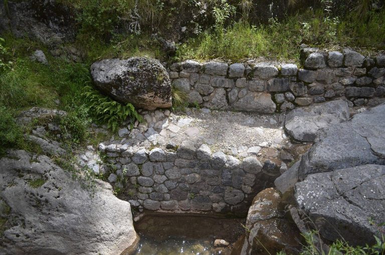
Vertical stone channels or spillways descend through the terraces and may have carried water from higher levels toward the bottoms of the depressions. Many sections lack the longitudinal slope needed to move water along the terraces, suggesting that some may have been intended for cascading water rather than ordinary irrigation. The complex also contains two short spring channels and several stone reservoirs that might have supplied water.
A drainage channel beneath one collapsed terrace may have carried excess water away from an unstable slope. The lack of soil salinization in the deepest part of Quechuyoc Muyu has likewise been interpreted as possible evidence of effective drainage. A proposed artificial reverse filter at the bottom remains unconfirmed because the floor of the depression has not been excavated.
Heavy rainfall in 2009–2010 extensively damaged the terrace levels by undermining the ground beneath them. The eastern side of the principal circle then collapsed, affecting the surviving stone-and-compacted-earth fabric of the complex.
Worked Stones and Sacred Features
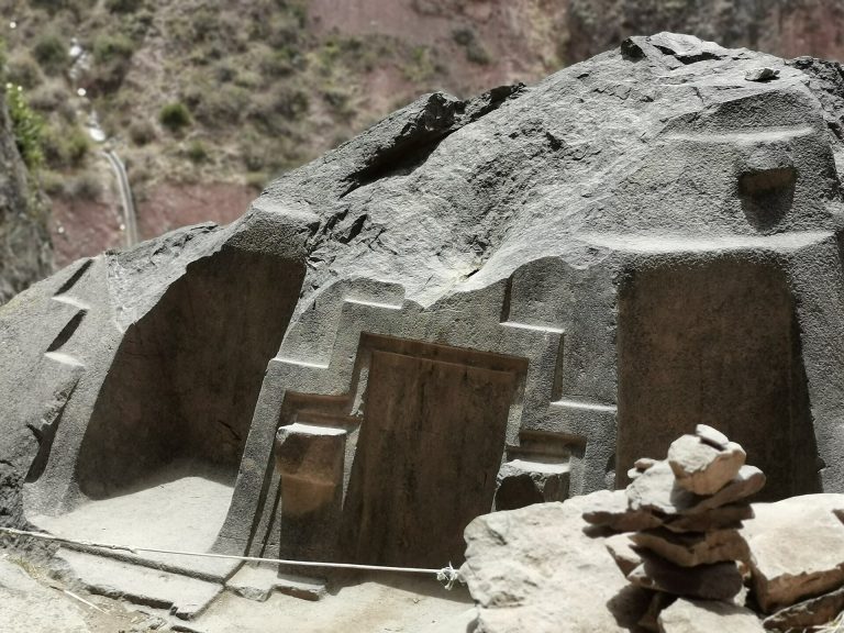
Several worked fragments of rock were deliberately left exposed within the complex. They have been interpreted as huacas, sacred objects or places in Andean religious traditions. Their position and treatment contribute to the interpretation of Moray as a landscape with ceremonial as well as agricultural functions.