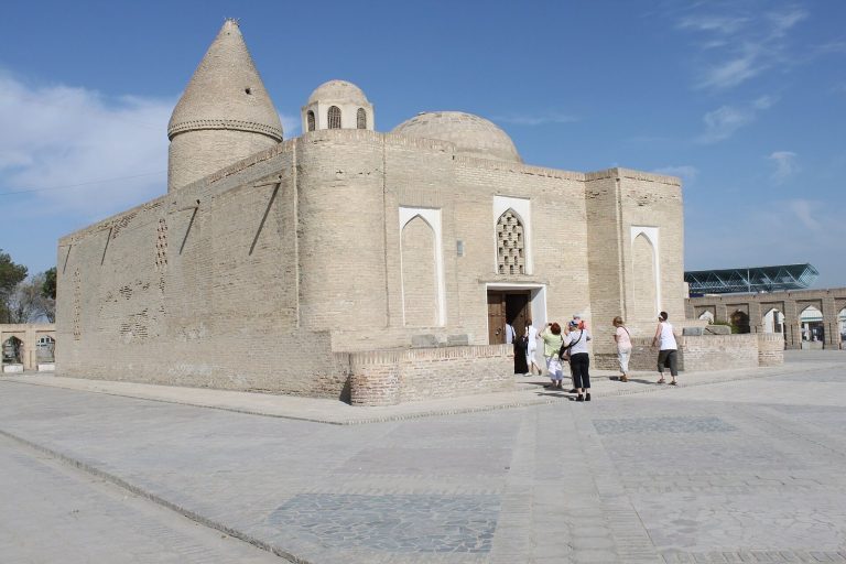
Paikend: An Ancient Merchant City of Sogd in Uzbekistan
Site at a Glance
- Rating
- 5
- Popularity
- Very Low
- Country
- Uzbekistan
- Primary era
- Medieval
- Eras represented
- Classical, Medieval
- Civilizations
- Karakhanid, Samanid, Sogdian
- Site type
- City
On this page17 sections
History
Paikend is an ancient city site in Uzbekistan, about 40 to 44 km from Bukhara in the lower Zarafshan River region. It developed within Western Sogd, the Iranian-speaking cultural and political region of Central Asia centered on cities such as Samarkand and Bukhara. Settlement began in the fourth or third century BCE as a small village, which later grew into a fortified urban center on a caravan route. Paikend became one of the largest cities of the Bukhara oasis and served both as a commercial center and as a strategic stronghold.
Formation and Sogdian prosperity
Paikend stood near the southwestern frontier of the Bukhara oasis. Its position allowed the city to control trade while also helping defend the settled lands against incursions from the steppe. This military role continued before the surrounding oasis was enclosed by the Kanpir Wall. Occupation lasted from approximately the fourth century BCE to the eleventh century CE, while part of the settlement survived until about the fifteenth century.
Medieval writers knew Paikend as Madina al-Tujjar, or “City of Merchants,” a name that reflected its commercial importance. In the sixth and seventh centuries, the city was reportedly governed by a council of merchants rather than by a khokim, or governor. For this reason, it has been described as a free city or urban republic. Paikend’s merchants traded with China, India, Iran, lands north of the Ural region, the Volga coast, and other areas connected by the Silk Road.
Chinese records associated Paikend with the Bukhara kingdom and referred to it as the center of the Bi khanate. Some interpretations identify the city with a residence of the Hephthalite kings. The Hephthalites were a Central Asian empire that flourished mainly during the fifth and sixth centuries, and Paikend may have served as their capital in the second half of the fifth and the early sixth century.
Paikend also entered Persian religious and literary tradition. The Shahnameh, a major Persian epic, attributes the construction of a fire temple at the city to Kay Khosrow, a legendary Persian king, and says that the Avesta, the principal collection of Zoroastrian sacred texts, was recorded there. Narshakhi, a tenth-century historian of Bukhara, called the fortified urban center the “Bronze” or “Copper City.”
Arab conquest
Arab forces first captured Paikend in 674 under Ubaydullah ibn Ziyad, an Arab military commander. Around 706 or 707, Qutayba ibn Muslim, the Umayyad governor of Khurasan and a leading commander in the early Arab conquests of Central Asia, besieged the city for about fifty days. Direct attacks failed, so his forces dug a tunnel beneath the walls. Paikend then fell, and its inhabitants agreed to pay tribute and make peace.
After Qutayba withdrew, the inhabitants rebelled. They killed the governor and his companions and broke the agreement. Qutayba returned, and the fighting continued for about a month. His forces again attempted to undermine the defenses and eventually captured the city by force. The fighting men were killed, while women and children were taken captive.
The conquest produced a remarkably large quantity of booty. It included gold and silver vessels, silver cups, weapons, other military equipment, and a silver idol valued at approximately 4,000 dirhams. The amount of melted bullion is variously given as about 50,000 or 150,000 mithqals, a historical weight used in the Islamic world whose exact value varied by period and region. Qutayba distributed some of the captured weapons among his troops.
Islamic revival and decline
From the last quarter of the ninth century through the tenth century, Paikend and its agricultural hinterland prospered again. Internal and external trade expanded, while pottery, glassmaking, tilework, metalworking, and construction developed. The city also became a center of Islamic learning, particularly the study of jurisprudence. Under the Samanids, a Persianate dynasty that ruled much of eastern Iran and Central Asia during the ninth and tenth centuries, major construction included a large congregational mosque.
During the eleventh century, Paikend’s irrigation network dried up, probably because of water shortages, and urban life declined. In the twelfth century, Arslan Khan Muhammad ibn Sulayman, a Karakhanid ruler, attempted to revive the city and improve its water supply by constructing a canal from the Zarafshan system. The project failed. Paikend was repopulated and rebuilt for a time, but it became deserted and ruined again during the second half of the twelfth century.
Archaeological investigation
Raffael Pumpelly began work at Paikend in 1903, followed by excavations led by L. A. Zimin in 1913 and 1914. A Zarafshan expedition operated at the site in 1939 and 1940. Systematic research began around 1980 through a joint expedition of the State Hermitage and the Institute of Archaeology of Uzbekistan, led by A. Muhammadjonov.
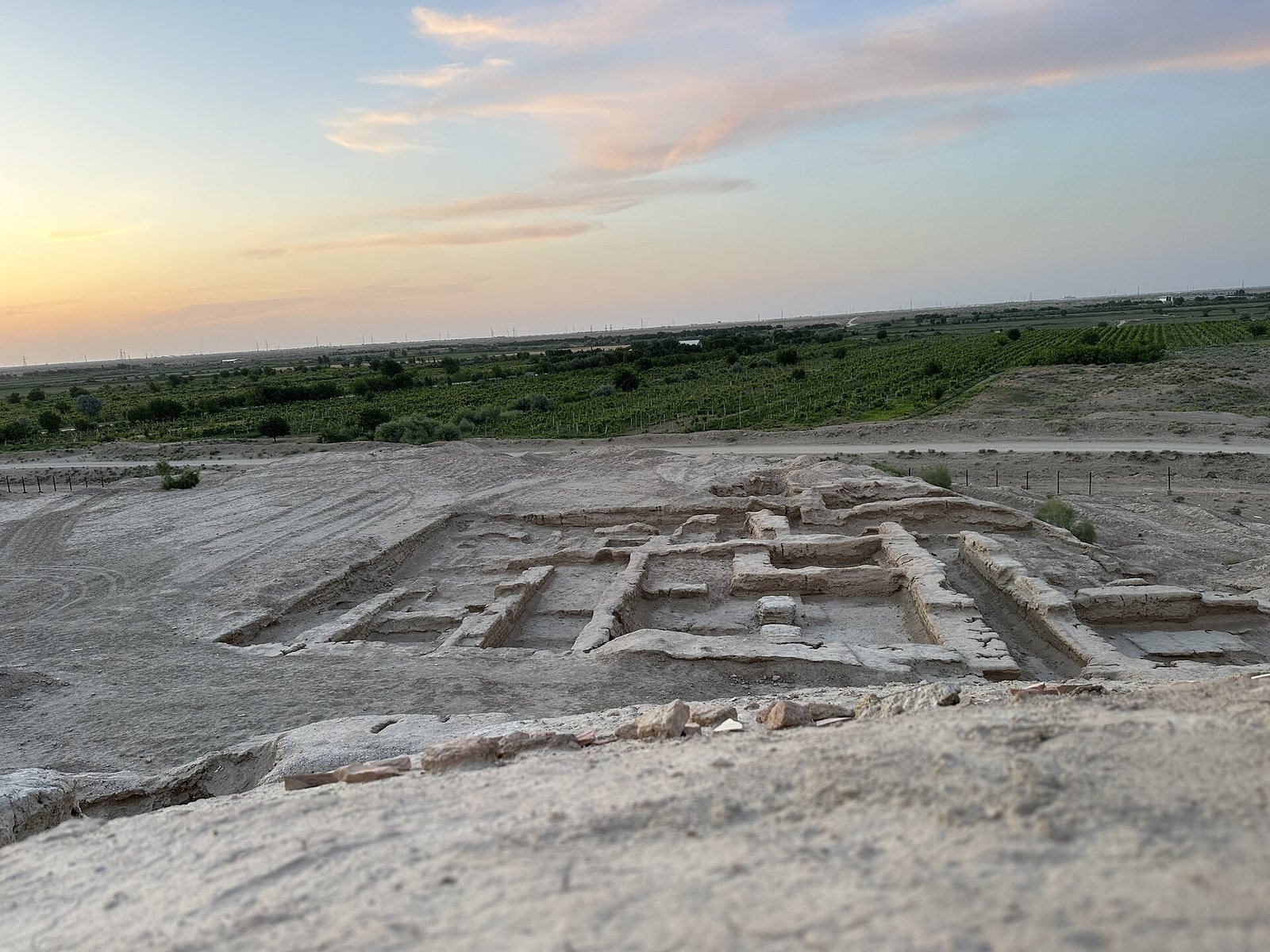
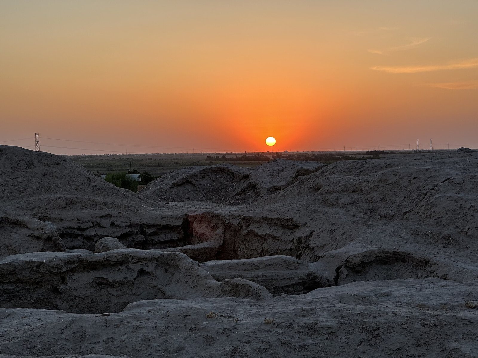
By the 2010s, approximately 15 percent of the 20-hectare site had been investigated. Archaeological work established Paikend’s historical topography, produced plans of its successive sectors, and identified cultural layers dating from the fourth or third century BCE through the medieval period. Excavation continues among the ruins. Paikend was placed on Uzbekistan’s UNESCO World Heritage Tentative List in 2008 and was included in the Silk Roads: Zarafshan-Karakum Corridor World Heritage designation in 2023.
Remains
Paikend was organized as a fortified city with four principal parts. A gated citadel, or ark, covered about 1 hectare in the northeastern part of the settlement. It was followed by a gated inner shahristan, the principal urban area within the defenses, covering about 11 hectares, and a gated outer shahristan of about 6 hectares. Extensive rabads, or outer suburbs containing workshops, markets, and caravan facilities, spread across more than 100 hectares to the east, west, and south.
Citadel and central defenses
Citadel
The citadel contained a ruler’s residence and palace, an ancient place of worship, and, in a later phase, a congregational mosque. Its northeastern defensive walls had a combined thickness of more than 30 m. The ancient part of the ark contains a cultural layer approximately 18 m thick, and the lowest finds date to the fourth or third century BCE.
Walls and towers
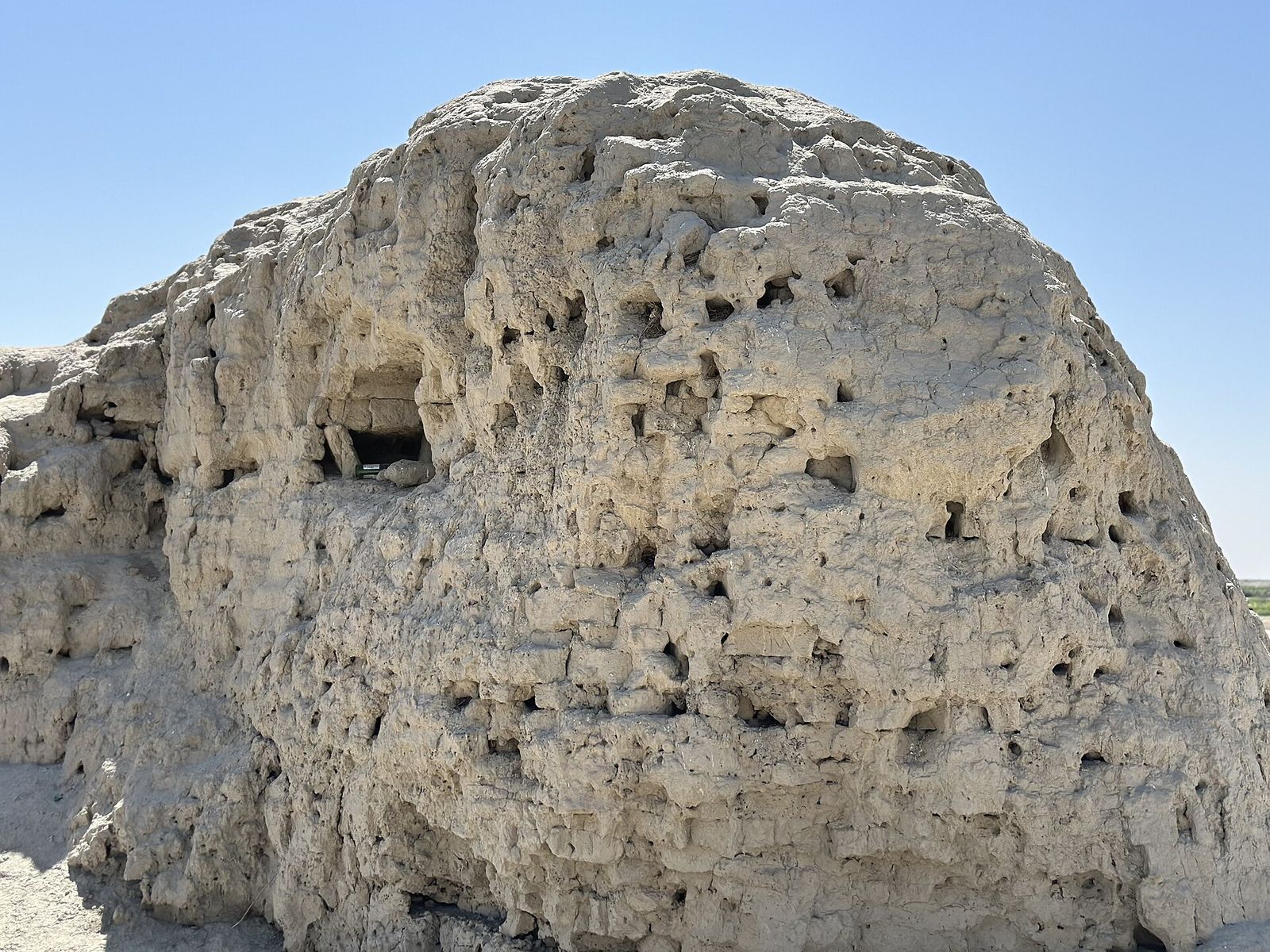
The ark, inner shahristan, and outer shahristan each had separate defensive walls about 3.5 to 5 m thick. Towers stood at intervals of roughly 60 m and at the outer corners. They rose about 11.5 to 12.5 m and had two levels. Approaches to the gates used labyrinth-like defensive arrangements, while some entrances were about 3.5 m wide.
The walls and towers incorporated three staggered rows of rectangular loopholes, set at intervals of about 1.6 m. In the western part of Paikend, the remains of ten rectangular, two-story towers survive. Their facades had three rows of rectangular openings and are considered examples of fifth- to sixth-century Sogdian military architecture.
Religious and civic buildings
Excavation in the citadel has revealed an ancient temple, a ruler’s palace, and a congregational mosque with a decorated tiled mihrab, the prayer niche indicating the direction of Mecca. The mosque’s mihrab dates to the ninth or tenth century. The foundation of a ninth-century minaret measures about 11 m in diameter, nearly 1 m more than the foundation of Bukhara’s Kalyan Minaret.
Inner and outer urban quarters
Inner shahristan
The inner shahristan contained defensive walls, gates, roads, markets, workshops, and homes for merchants and artisans. Its underlying layers are about 4 to 4.5 m thick, and the lowest finds date to the third or fourth century CE. Excavated buildings include an eighth-century pharmacy and a city bakery equipped with several large tandoors, or clay ovens.
Outer shahristan
The outer shahristan contained craft quarters devoted to pottery and glassmaking, together with one-story courtyard houses. These homes had raised platforms along all four sides of a courtyard, a central sandali heating installation, kitchens, storerooms, and latrines or washing facilities connected to a drainage system. The lowest layers date to the fourth or fifth century CE.
Suburbs and caravan route
Rabads
The rabads held an external market and workshops for pottery, glassmaking, and ironworking. Kilns and furnaces formed part of these craft areas. More than fifty naus, ossuary structures where cleaned human bones were placed after exposure of the body, belonged to a Zoroastrian cemetery. Zoroastrians continued bringing the bones of deceased people from Bukhara to these tombs even after Islam had spread through the region.
Caravanserais
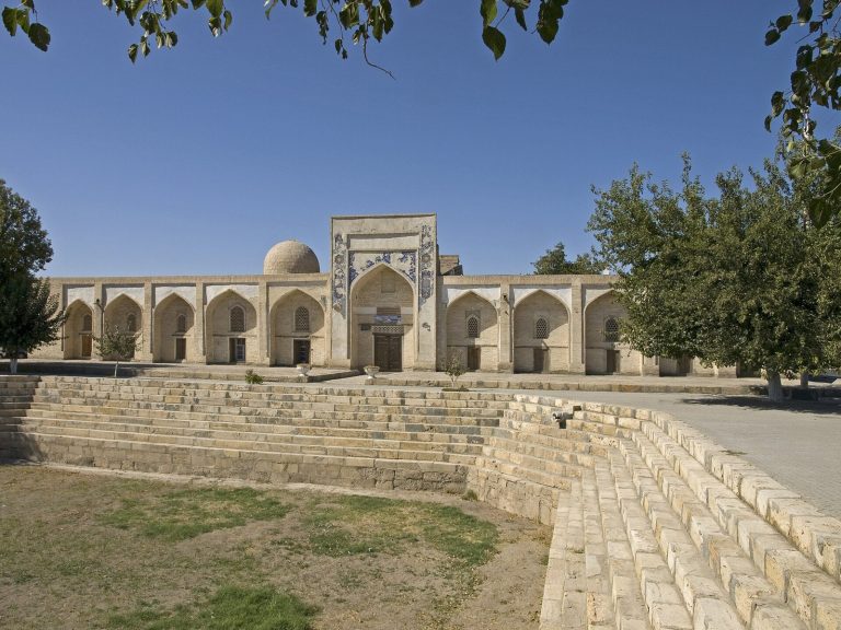
More than twenty caravanserais stood along the approximately 20 m-wide caravan road between Paikend and Bukhara. Several have been excavated, and many date to the eighth through tenth centuries. They were commonly built as mud-brick squares measuring about 75 by 75 m, with circular corner towers and two gates between about 3 and 5 m wide.
Inside, one or two long central platforms provided space for unloading goods from camels. More than sixty one- or two-room sleeping quarters had raised platforms and sandali heating installations. Kitchens contained hearths or tandoors, while washing or bathing facilities and storerooms served the travelers and their goods. The roofs were vaulted and included ceramic flues in their central sections. At least one caravanserai had a Zoroastrian fire temple in its northwestern corner.
Objects and surviving decoration
Excavations have recovered glazed and unglazed pottery vessels and dishes, glass vessels, bronze and iron objects, weapons, and coins. The coins include Chinese, Sasanian, Umayyad, and Abbasid copper issues, as well as Samanid and Karakhanid coins minted at Bukhara, Samarkand, Merv, Ferghana, Akhsikat, and Isfijab. A gold Ghaznavid dinar minted at Herat adds evidence of Paikend’s broad monetary connections. A substantial portion of the excavated finds is displayed in an Archaeological Museum established near the site, and a fragment of wall decoration from Paikend dates to the tenth or eleventh century.