Oppidum Třísov: A Celtic Fortified Settlement in Czechia
Site at a Glance
- Popularity
- Medium
- Country
- Czechia
- Primary era
- Iron Age
- Eras represented
- Iron Age
- Civilizations
- Celtic
- Site type
- Settlement
- Remains
- Town
On this page15 sections
History
Oppidum Třísov is a Celtic settlement in Czechia that became a fortified center after the middle of the second century BC, during the late Iron Age, when iron was widely used for tools and weapons. At its height in the first century BC, it was a regional center and the southernmost oppidum in Bohemia.
Evidence of earlier settlement in the area dates to the Bronze Age, the archaeological period named for the widespread use of bronze for tools and weapons, from about 2200 to 750 BC. Finds from this period include pottery vessels, bronze weapons, and jewelry.
Celtic settlement and regional role
Celtic communities settled on the hill above the Vltava after the middle of the second century BC. The settlement began without fortifications, with construction of stone-faced ramparts starting around 120 BC. During the first century BC, its inhabited and fortified area covered 26 hectares. Although it was less prominent than Stradonice, Závist, and Hrazany, Třísov served as an important regional center.
The settlement participated in long-distance trade and in the religious life of Celtic society. A route along the Vltava carried salt from Alpine production areas through the Vyšší Brod Pass, past other Celtic oppida, and onward toward Germanic territories. Třísov’s inhabitants focused on craft production rather than farming, so they relied substantially on agricultural communities nearby.
Třísov was abandoned around the turn of the era. Its inhabitants took nearly all their possessions with them as Germanic tribes expanded into Bohemia. These tribes were diverse ancient peoples, not a single political entity, and their expansion was one that Celtic society could no longer withstand.
Remains
Setting and defenses
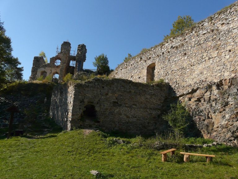
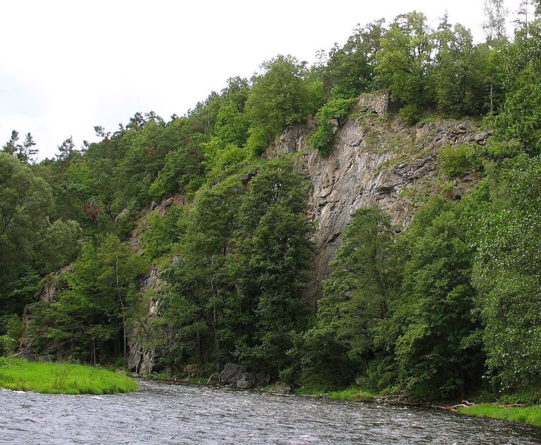
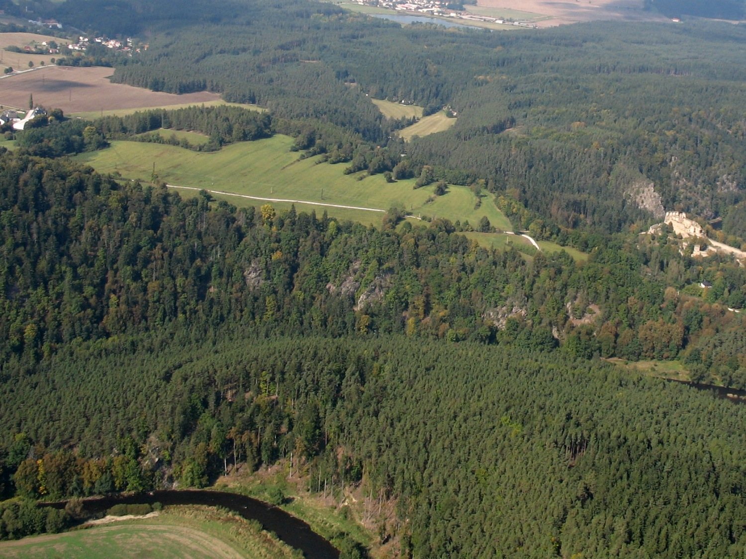
The settlement occupied a meander of the Vltava near its meeting with the Křemžský Stream, southwest of České Budějovice. Steep slopes toward the river and stream protected three sides. The highest point stands about 120 metres above the Vltava, at 551 metres above sea level, and the site lies about 35 kilometres north of the Vyšší Brod Pass. Two lines of ramparts enclosed the fortified area. On the western side, considered most vulnerable, substantial surviving defenses included rampart bases about seven metres wide. Upright timbers set roughly 1.5 metres apart and a wooden lattice reinforced the bases, which had stone facing and a timber fence. The stonework was arranged to resemble large blocks, a form thought to reflect Mediterranean building influence and to strengthen the defenses while impressing attackers. A ditch about five metres wide fronted the inner rampart. Between the two defensive lines, a wider ditch, 15 to 20 metres across, was divided by low cross-walls; its alternating ridges and furrows remain visible.
Entrances
Western entrance
The western entrance passed through two gates, one in each rampart. At the inner gate, the rampart ended in a stone wall that turned at right angles into the settlement on either side of the opening. A wooden tower probably rose above it, and the entrance may have had a double-leaf gate. The passage was paved with stones. The outer gate was more complex, with a section of rampart set diagonally across the opening. It also protected the settlement’s only available spring.
Eastern entrance
The eastern gate may have followed a plan similar to the inner western gate. Two separate forward defensive structures accompanied it, but the entrance has not been examined in detail, so its construction remains uncertain.
Precincts and buildings
Northern acropolis
Two elevated parts of the settlement formed distinct inner precincts, known as acropolises. The northern one had its own defenses and a wooden fence. Postholes outline an unusual octagonal structure there, interpreted by some as a sanctuary, although that identification remains disputed. A fragment of a bronze basin imported from Italy was also found in this area.
Southern acropolis
The southern elevated precinct was apparently the seat of the ruling group. Its position formed the second of the settlement’s two high areas.
Residential and agricultural area
The saddle between the elevations contained residential and agricultural buildings. Excavations in the central area revealed depressions, surface huts, and pits. The limited evidence suggests that some homes may have been partly dug below ground or built on stone foundations, including examples near the fortifications. Most buildings were probably supporting structures framed with upright posts, measuring about seven to nine metres by three to four metres.
Craft production and finds
Pottery
A pottery wheel and upright kilns with grates were used in ceramic production. Graphite was mixed into everyday vessels to produce graphite ware, which made up about three-quarters of the pottery fragments. This ware was the settlement’s main export and may also have served as containers for Alpine salt. Fine pottery painted red and white was another important product.
Metalworking
A workshop inside the fortifications processed bronze. Iron was probably produced in specialized workshops outside the settlement, while smiths worked within it. Finds include smithing tools and slag, iron fittings and weapons such as spearheads and arrowheads, and everyday implements including scissors, razors, axes, ploughshares, and sickles. Metalworkers also shaped non-ferrous metals, including copper-based materials, into brooches, bracelets, and rings, and cast bronze figurines and sculptures. A plate fragment with holes used for melting gold has been cited as evidence of coin casting.
Glassworking
Glass beads and fragments of glass bracelets provide evidence of glassworking at the settlement.