Oppidum du Fossé des Pandours: A Celtic Fortified Settlement in France
Site at a Glance
- Popularity
- Medium
- Country
- France
- Primary era
- Iron Age
- Eras represented
- Iron Age, Classical, Medieval
- Civilizations
- Celtic, Roman
- Site type
- City
On this page16 sections
History
Foundation and Mediomatrici center
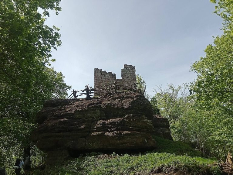
The Oppidum du Fossé des Pandours is a Celtic fortified settlement near Saverne and Ottersthal in France. Founded by the Mediomatrici toward the end of the second century BCE, it occupied the Saverne Pass, a 417-metre-high route connecting central Gaul with the Rhine Valley. The pass also carried trade between Gaul and Germania. The Mediomatrici, a Celtic people of northeastern Gaul, built a stronghold there, likely to oversee movement through the route and use the area’s rocky heights.
The Mediomatrici controlled territory between the Meuse and Rhine, extending from Argonne to the Black Forest, and maintained at least eight fortified settlements, or oppida, along roads and rivers. The Fossé des Pandours site lay about 77 miles from their capital, Divodurum, the ancient name associated with Metz. Its extent, coin production, and carefully built defenses point to its importance as a Mediomatrici center. The fortifications served defensive and strategic purposes, but also expressed the community’s standing and marked a symbolic divide between the settlement and the surrounding countryside.
Decline and Roman-era use
The stronghold’s political and economic importance diminished after Ariovistus, a Germanic king active in Gaul, entered the region around 70 BCE. After 58 BCE, Julius Caesar, the Roman general whose campaigns brought much of Gaul under Roman control, settled the Triboci on the Rhine plain. The Fossé des Pandours remained within Mediomatrici territory until Augustus, Rome’s first emperor, reorganized Gaul, but it probably ceased to be the people’s principal center after the Gallic Wars.
A debated interpretation places a westward shift of the Mediomatrici capital from the middle of the first century BCE. In Roman Gaul, major routes increasingly favored the Rhône-Saône-Moselle corridor, supporting strongholds along that line as older west-east centers declined. The site itself continued to be occupied through the first century CE, though the fortified settlement no longer held a major political or economic role.
A Roman road linking Strasbourg and Metz crossed the area. At Uspann, a road station supplied travelers with replacement horses before it was abandoned in the late second or early third century CE. A cemetery and sandstone extraction also reflect continued activity in the wider landscape, although the date of quarry use is uncertain.
Later history and archaeological investigation
The Paris-to-Strasbourg royal road, built between 1730 and 1737, cut through and destroyed about 150 metres of the rampart. The site’s eighteenth-century name refers to the Pandours, irregular troops in Austrian service associated with Baron von Trenck. During the War of the Austrian Succession (1740–1744), a conflict that followed opposition to Charles VI’s decree arranging the inheritance of Habsburg lands by his daughter Maria Theresa, Pandours described as Hungarian or Croatian troops temporarily occupied the site in 1744. Their presence also gave rise to local place names and legends.
Forrer identified the site in 1926, after a long period of neglect; early twentieth-century archaeological work was limited in scope. Investigations at the Uspann road station took place intermittently from 1949 to 1993, and Gallo-Roman tombs were excavated in 1980. Work on the oppidum began in 1995 as a University of Strasbourg field school. Rampart excavations continued through 1999, and work at Barbarakopf in 2000–2001 uncovered a craft area. Further investigations followed after 2003, including work connected with forestry and the creation of forest tracks.
Remains
Setting and fortification
Site and defensive perimeter
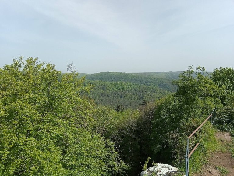
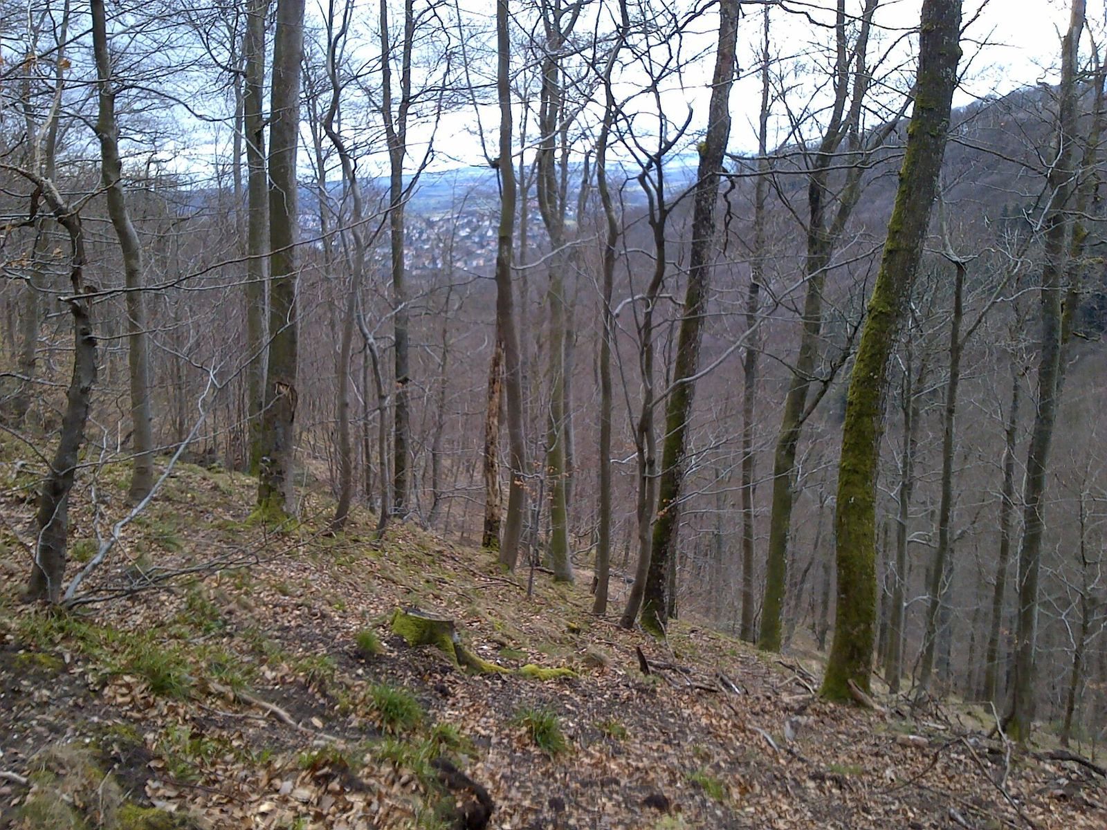
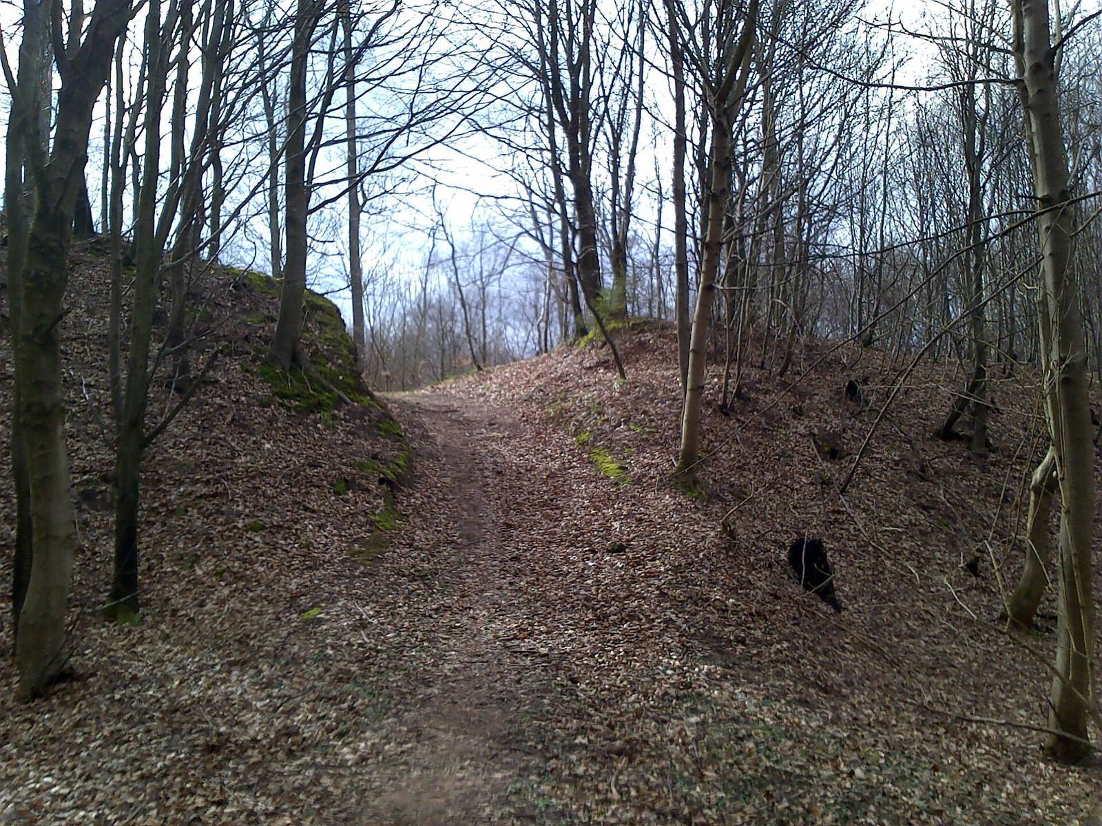
The settlement covered about 170 hectares of rugged, elevated ground. Its three principal heights are Barbarakopf, Baerenkupfel, and Koepfel; to the south, the site extends toward the Vosges summit of Kaestenberg. Cliffs offered some natural protection, while a network of ramparts, roughly seven kilometres in combined length, followed the terrain without forming an unbroken circuit. A prominent barrier rampart, about 600 metres long and 10 metres high, blocked the northern approach from the Lorraine Plateau.
Main rampart
Excavations in 1995 and 1996 identified the principal rampart as a murus gallicus, a timber-framed wall faced with stone. Its construction belongs to La Tène D1, a phase of the Iron Age La Tène culture, and dates to about 100 BCE. The work included substantial preparation of the ground and represents a single identified building phase. The timber frame measured about 12–13 metres across at its base; the wider rampart structure is described as about 40 metres wide and 10 metres high.
Builders laid wooden beams in sand and secured them with iron. Crosspieces, two to four metres long, were nailed into place with nails measuring 16–32 centimetres. These stabilizing timbers began about 60–70 centimetres above the base, rose to around five or six metres, and were spaced roughly 1.50–1.60 metres apart. Stones filled the spaces between the beams, with larger blocks placed near the bottom. Pink sandstone formed the outer face. Its blocks were carefully shaped on five sides, and the facing survives to about a metre high. It protected the wooden structure, whose crossbeam ends were initially visible; a ramp ran along the rear.
The defenses included a 12-metre exterior glacis, a sloping surface before a fortification, followed by a ditch four to seven metres wide and a sand bank about 10 metres wide on the settlement side. An earthen bank and a filled ditch are also described behind the rampart. The construction has been compared with the wall at Alesia, a Gallic fortified settlement known from Caesar’s campaigns, and may have influenced the oppidum at Manching in present-day Bavaria.
Other ramparts
The outer rampart also used timber framing faced with stone, but was lower and more economical than the main wall, with fewer nails and a rougher stone surface. It followed slopes and sandstone cliffs, sometimes running along the contours and sometimes descending the hillside. Two modest, parallel ramparts between Baerenkupfel and Koepfel are later than the third century CE; two sections have also been tentatively dated to the ninth or tenth century.
A partly excavated rampart at Baerenkupfel had posts four to five metres apart, probably linked by horizontal beams. Its simpler construction included a sand-layer ramp, a stone front about a metre wide with a stone facing, and slabs placed at the rear. On Kaestenberg’s northern slope, a poorly preserved rampart about 1.50 metres wide contained sand fill and nailed timbers interpreted as supports. At Barbarakopf, stones reinforced the clay soil beneath a rampart.
Entrances and routes
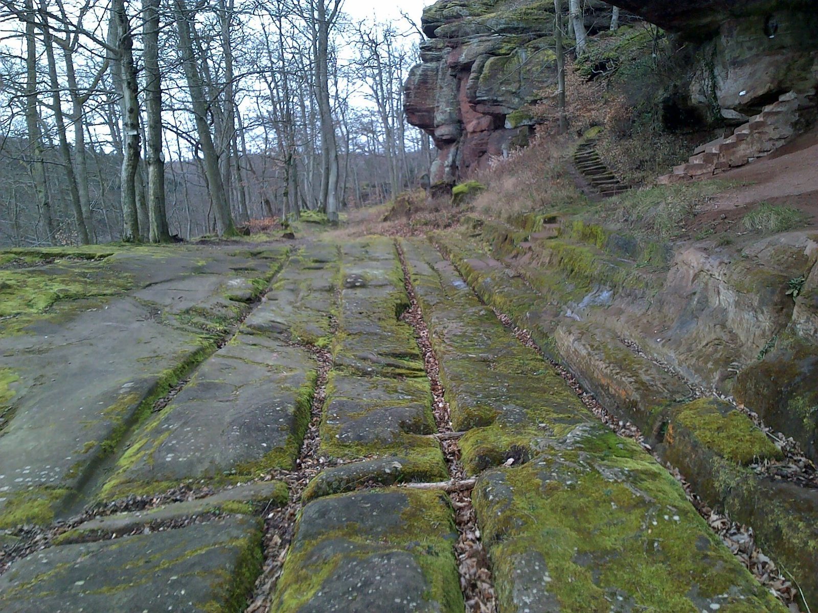
The possible positions of the gates have been inferred from the road network. The rutted Bishops’ Road, which predates the eighteenth century and passes below Prince Charles’s Leap, may follow a route used in the Gallic period. One proposed site for the main gate is where an older road crossed the settlement slightly west of today’s Route Nationale 4. Explosive excavation work has complicated efforts to locate a southern entrance. A monumental gateway with a long passage and a gatehouse tower has been proposed by comparison with other Gallic strongholds.
Residential and craft areas
Houses and wells
Excavated residential areas at Barbarakopf had a loose arrangement, with open ground among the buildings. Houses stood either on posts or on sill beams, horizontal timbers laid at the base of a building. Two wells have been excavated. One contained millstones, a mallet, a furniture leg, broken amphorae, and coins. Excavations in a small area also produced about a hundred amphorae, bronze utensils associated with wine consumption, and fragments of Campanian pottery, made in Campania in southern Italy.
Craft production and coinage
Finds include fibulae, brooches or pins used to fasten clothing, as well as wooden, bronze, and iron objects. Workshops produced iron, bronze, glass, ceramics, wood, leather, and bone goods; unfinished objects and manufacturing failures show that some items were made on site. Craft areas were concentrated mainly along roads. The settlement also produced potins, low-value cast coins used in Iron Age Gaul. Decorated with a boar, they were cast in connected strings and then separated by hand.
Cemetery and quarries
Gallo-Roman cemetery
A cemetery west of the oppidum dates from the second half of the second century to the beginning of the third century CE. Excavations yielded 17 burials and a house-shaped stele, an upright stone monument. Cemeteries were generally placed outside fortified settlements, often near their gates.
Sandstone quarries
Sandstone quarries provide physical evidence of stone extraction in the area. They may have been worked during the Gallic period, but that date remains uncertain.