Hohbarr Castle (Château de Hohbarr): A Medieval Episcopal Rock Castle in France


Site at a Glance
- Rating
- 4.5
- Popularity
- Medium
- Country
- France
- Primary era
- Medieval
- External website
- Open
- Eras represented
- Medieval, Early Modern
- Civilizations
- Holy Roman Empire
- Site type
- Military
- Remains
- Castle
On this page9 sections
History
Episcopal foundation and medieval expansion
Hohbarr Castle, also called Haut-Barr, is a medieval rock castle in France near Saverne, built in the twelfth century and associated with the bishops of Strasbourg. Its earliest construction began in the early twelfth century, and the castle was recorded as episcopal property in 1123. The bishops of Strasbourg, the senior ecclesiastical rulers of the Strasbourg diocese, used the castle as a stronghold and residence.
Hohbarr occupied a strategic height above the Zorn valley, the Alsatian plain, and the route through the Vosges between Lorraine and Alsace. Travellers and armies could reach this route through the Zorn valley or the Saverne Pass. Because of its commanding position, the castle acquired the medieval epithet “Eye of Alsace.” It was expanded repeatedly through the fourteenth century, when the complex was also transformed and restored.
From pledged stronghold to episcopal residence
In 1394, Hohbarr was pledged to Egenolf von Lützelburg and his associates. Despite this change in control, it continued to function as a residence of the bishops of Strasbourg until the seventeenth century.
In 1583, Bishop Johann IV of Manderscheid-Blankenheim ordered a complete renewal and strengthening of the castle. On 17 May 1586, Bishop Jean de Manderscheid founded the Confraternity of the Horn at Hohbarr. He intended the castle to become the “capitol of the free drinkers” of his diocese, giving the fortress a distinctive place in the social and ceremonial life associated with the episcopal court.
War, renewed military use, and abandonment
During the Thirty Years’ War, a major European conflict fought from 1618 to 1648, the rock castle was demolished. The Peace of Westphalia, the group of treaties concluded in 1648 that ended the war, required the destruction of several castles in the region, including Hohbarr.
Military use resumed after the War of the Spanish Succession began in 1701. This conflict lasted from 1701 to 1714, and its outbreak led to the return of Hohbarr as a fortress. Pandur troops, irregular military units used in eighteenth-century European warfare, occupied the castle in 1744 after planned major repairs had not been carried out.
Hohbarr was abandoned around 1770, although its vault continued to be occupied until the French Revolution. More than half a century later, the ruins passed into aristocratic ownership. The site has been state property since 1878, and the castle ruins and chapel have been protected as French historic monuments since October 1874.
The Chappe telegraph station
In 1798, a Chappe telegraph tower was installed inside the castle for the Paris-Metz-Strasbourg line. Chappe telegraphy was an optical signaling system that transmitted messages between elevated stations using movable mechanical arms. The tower used Hohbarr’s high position, but access to its original location later became too dangerous. It was moved in 1810 to Honber in the commune of Haegen, where the ruined tower was reconstructed and now contains an exhibition.
Remains
Rocky setting and overall layout
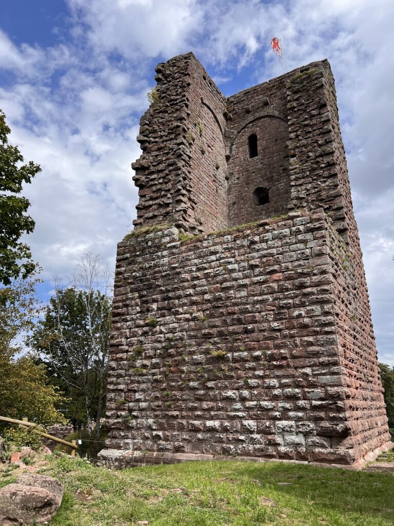
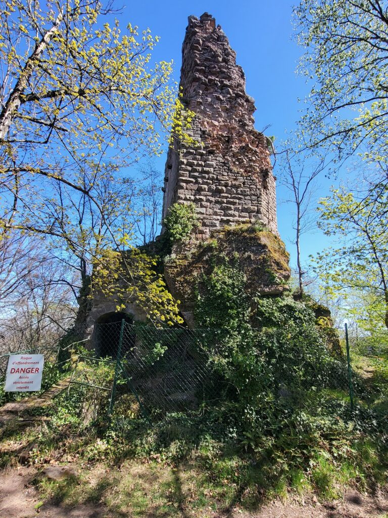
The ruins occupy an elongated rocky spur extending northward from the Brotschberg, between the Alsatian plain to the east and the Zorn valley to the west. The site stands at an elevation of approximately 450 to 470 metres. Its principal sandstone ridge runs northwest for about 250 metres and rises roughly 15 metres above its surroundings. Three large rocks project from the ridge, each more than 20 metres high, and the castle extends across all three formations.
The largest, central rock is about 80 metres long, although its usable surface narrows at the middle. A bridge to the south connects it with Markfels, a smaller rock measuring about 25 metres long and 10 metres wide. The third rock lies 55 metres north of the central block and measures about 65 metres long and 8 metres wide. The arrangement creates the castle’s elongated plan and broad views in all directions. In favourable weather, Strasbourg Cathedral can be seen from the site.
Sandstone geology and masonry
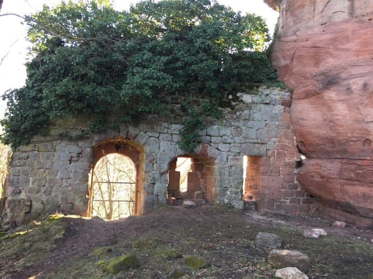
The rocks consist of sandstone formed from successive sediment deposits. Fine-grained sandstone makes up the lower layers, while the upper layers contain a conglomerate, known as Savernian conglomerate, filled with white quartz pebbles. The harder conglomerate has formed overhangs, while the finer sandstone eroded more quickly and produced recessed sections in the rock.
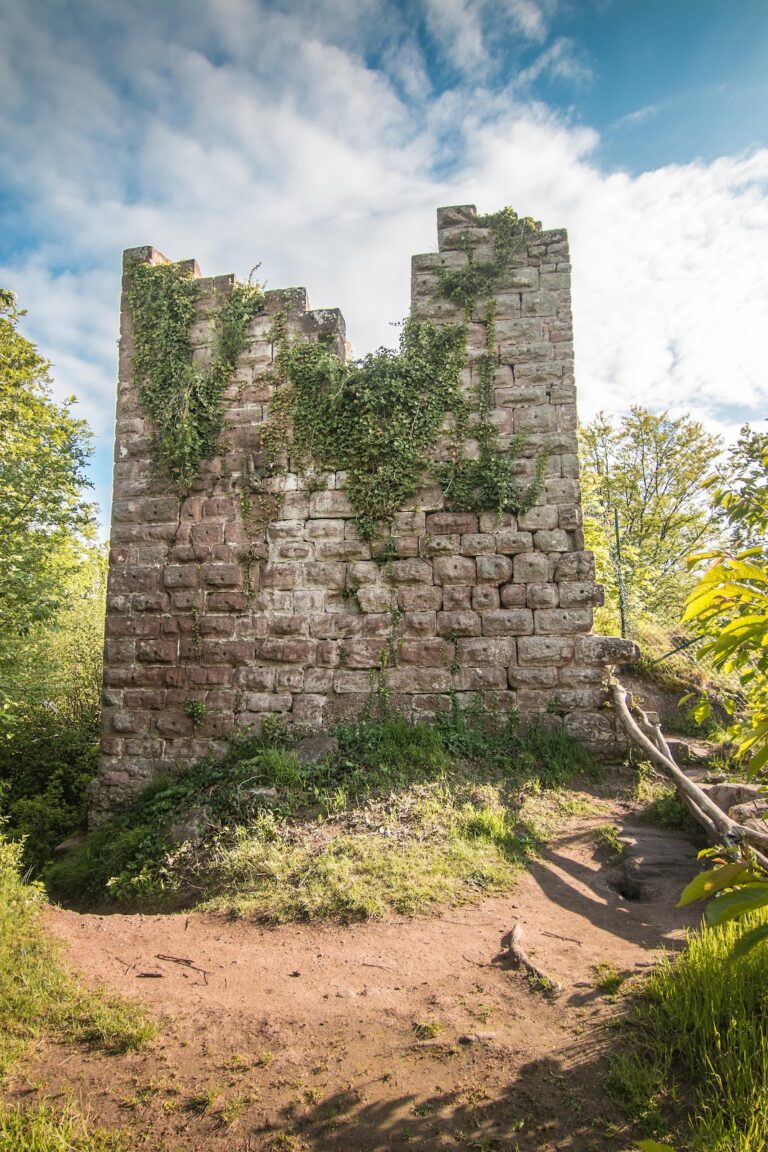
Stone for the castle was quarried directly from the site. Because the conglomerate was a relatively poor building material, the builders mainly used easily worked Vosges sandstone. Romanesque masonry, from the medieval style characterized by massive construction and rounded arches, consists of carefully finished large blocks. Gothic work, associated with later medieval structural developments, generally uses poorer-quality medium-sized blocks. Large blocks reappear for a time in the Renaissance, while eighteenth-century masonry mainly consists of small, irregular stones, including some better-quality blocks reused from earlier work.
Chapel and connecting bridge
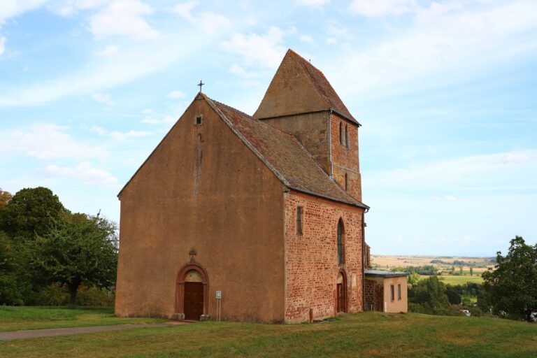
The castle chapel stands as a separate building within the complex. Its nave is Romanesque, while its choir is Gothic, preserving two medieval architectural phases in one structure.
The “Devil’s Bridge” links two of the rocky spurs. The former Chappe telegraph tower stood within the castle enclosure near this bridge before its removal to Honber in 1810. Signal horns or calling horns were also found at the site, providing material evidence connected with communication across the elevated stronghold.