Neidinger Heidenschloss: Ruins of a Medieval Spur Castle in Germany
Site at a Glance
- Rating
- 3
- Popularity
- Very Low
- Country
- Germany
- Primary era
- Medieval
- External website
- Open
- Eras represented
- Medieval
- Civilizations
- Holy Roman Empire
- Site type
- Military
- Remains
- Castle
On this page8 sections
History
The Neidinger Heidenschloss is the ruin of a medieval spur castle, a fortification built on a projecting ridge, near Neidingen in Beuron, Germany. It was constructed in the first half of the 12th century, a date suggested by pottery found on the surface. The castle was enlarged in the 13th century, as indicated by its masonry.
The ruins may be the castle of Jagberg associated with the Lords of Ramsberg, a medieval noble family. The nearby field name Jagberg supports this proposed identification, but the connection has not been established. The castle is thought to have ceased to exist around 1300 to 1350. In 1446, Hans and Marquart von Ramsberg sold the Jagberg castle site and its associated property to Märklin von Hausen; whether the transaction concerned the Neidinger site is uncertain.
Remains
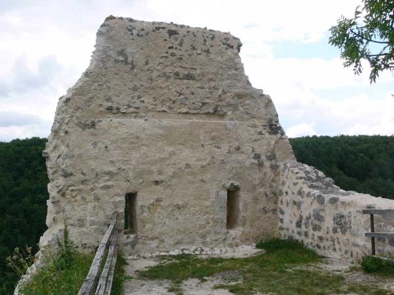
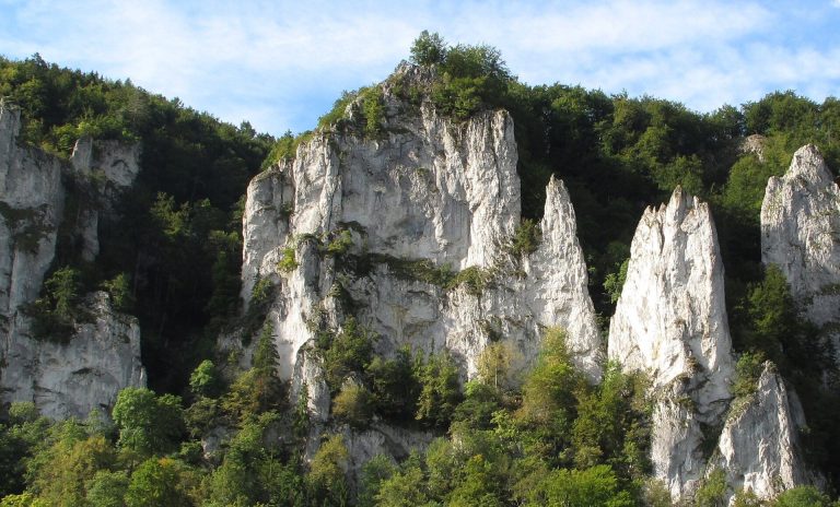
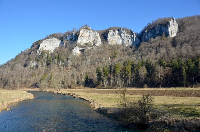
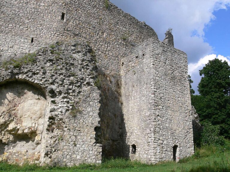
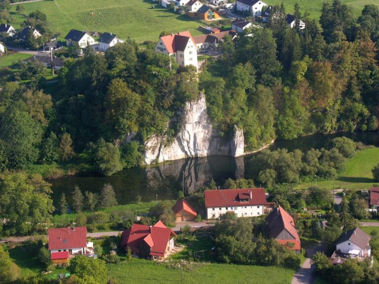
At about 758 metres above sea level, the ruin occupies a descending mountain spur overlooking a side ravine of the Danube valley, enclosed by steep limestone cliffs. The southwest-facing site has a terraced layout, with a rectangular upper core along the ridge and a lower area extending beside the cliff edge and widening southward. Ditches and surviving masonry preserve parts of its defensive arrangement. The stonework includes small and large cut blocks, as well as blocks with rough, raised faces. Carefully worked small-block facing and the raised-face stones point to comparatively elaborate construction.
Upper approach and central core
Approach defenses
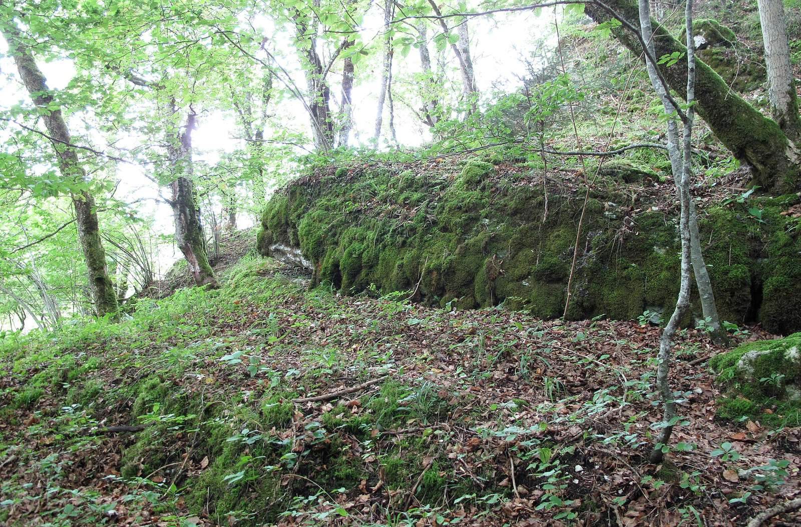
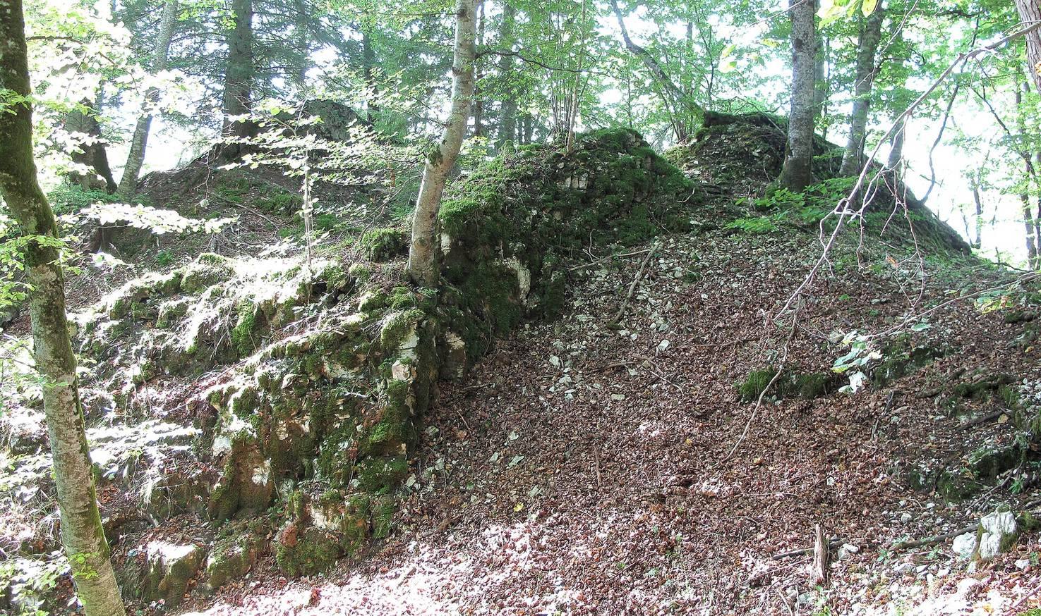
A broad ditch crosses the ridge at the uphill approach. Beyond it are substantial, earth-covered stone-and-mortar remains about 11 metres across. A narrow path passes through a gap in this remnant and then crosses a second ditch. Slight remains of a shield-like defensive wall, protecting an exposed side or approach, lie beyond the inner ditch.
Central core
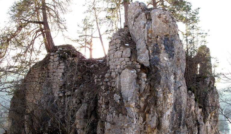
The upper core measures about 10 by 13 metres. The shield-like wall may have formed the northeast side of a building at the highest point, perhaps a residential tower that occupied the whole core. Low, continuous foundations survive along the southeast side. Larger, heavily eroded masonry sections remain at the north and west corners, with individual blocks visible in the soil between them. A basin-shaped hollow in the western part may mark a cellar. To the southwest, slight masonry and foundation traces, along with low rubble banks, indicate the line of a wall.
Lower terrace
Enclosure wall and courtyard
Several metres below the core, the ground falls steeply southwest to a terrace that broadens to the south. A massive enclosure wall runs from west to south along the cliff edge, with substantial lengths still standing. It also formed a barrier on the uphill, eastern side and bounded a courtyard thought to have occupied the southern part of the lower castle. Large sections of stone-and-mortar masonry survive, with small patches of facing made from cut blocks. Particularly large stones occur in the eastern wall; the easier approach on that side may account for its especially heavy construction.
Western building remains
Beyond a small step in the rock, a levelled area in the western part of the lower terrace contains wall foundations. These remains may belong to another building or tower.