Münchenstein Castle: A Medieval Hill Castle in Switzerland
Site at a Glance
- Popularity
- Low
- Country
- Switzerland
- Primary era
- Medieval
- Eras represented
- Medieval
- Civilizations
- Habsburg, Holy Roman Empire
- Site type
- Military
- Remains
- Castle
On this page10 sections
History
Settlement and the Münch family
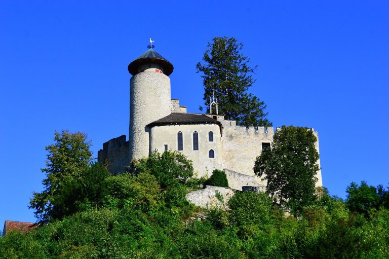
Münchenstein Castle is a medieval hill castle built by the Münch family above the old village centre of Münchenstein, Switzerland. Construction probably began between 1260 and 1275, and the castle was completed in 1334, when it reached its greatest extent. It formed part of the family’s effort to counter Basel’s growing power.
A small agricultural settlement stood on the site before the castle. It was first mentioned in 1196 as Kekingen and later became known as Geckingen. Around 1260, the Münch, a rising ministerial family of knights and officials who served a lord in military or administrative roles, acquired the village. Geckingen belonged to the Basel Cathedral Chapter, the clerical body attached to Basel Cathedral. Construction is attributed to Hugo II Münch and his son Hugo III, who is considered the more likely founder.
The Münch established other castles in their effort to resist Basel’s expanding influence, including Münchsberg, Hilsenstein, Angenstein, and Sternenfels near Büren. The family adopted the name Münch von Münchenstein, and from 1279 the village was called Münchenstein. By about 1280, the family had transferred the village and castle to the Counts of Pfirt, then received them back as a fief, land held from a more powerful lord in return for allegiance and obligations. This arrangement offered protection during conflict between the Habsburgs and the Bishop of Basel, whom the Münch supported. The family also feuded with Basel. In 1409, subjects of Münchenstein went over to the city.
After Ulrich III, the last Count of Pfirt, died in March 1324, the fief passed by inheritance to the Habsburgs of Austria. The heir, Johanna of Pfirt, was married to Duke Albrecht II of Habsburg. The Basel earthquake of 18 October 1356 damaged the castle, which was soon repaired. Konrad VIII Münch, son of Hartmann I and known as Hape, married Katharina of Löwenberg in 1340. After her death in 1371, he inherited authority over Muttenz and three fortresses on the Wartenberg.
Conflict and transfer to Basel
During the Old Zurich War, a 15th-century conflict involving the Swiss Confederacy and Zurich’s allies, supporters of Austria gathered in Münchenstein village in 1444 to await the outcome of the Battle of St. Jakob an der Birs. Hans Thüring Münch refused to let them into the castle and tried to move them on. Solothurn, a Swiss city pursuing territorial expansion, seized the castle in 1468; it was returned to the Münch the following year.
After Hans Thüring Münch died in 1449, his sons Hans and Konrad fought over the inheritance. Legal disputes, poor management, and attacks weakened the family’s finances. After Hans Münch died in 1470, the family pledged the village and castle to Basel under an agreement dated 18 July. The lordship also included the bridge over the Birs at Bruckgut. Its tolls brought regular income because the river’s winding course offered few suitable crossing points.
Konrad continued to live in the castle as Basel’s bailiff from 1477. When the pledge ended in 1482, poor administration and accounting led him to leave. He had previously sold the lordship to Solothurn without authority. A renewed Solothurn attack in 1487 failed because Basel’s new bailiff was prepared. In August that year, an arbitration court upheld Basel’s claim based on the 1470 pledge.
Basel’s rule and the castle’s decline
Unable to repay the pledge, the Münch sold the entire lordship to Basel in 1515. Emperor Maximilian I also ended its fief status, and the castle became the seat of a Basel bailiff. Basel governed the village and castle for 283 years.
In 1798, amid revolutionary upheaval, Basel’s last chief bailiff left. Several other Basel bailiff’s castles were burned, but Münchenstein escaped this fate; its bailiffs’ comparatively moderate treatment of the population was cited as the reason. In March 1798 the dilapidated castle was sold to the municipality, and its lands were divided and sold. The castle was then quarried for stone used in village houses. It is listed as a class B property in Switzerland’s inventory of cultural property of regional significance.
Remains
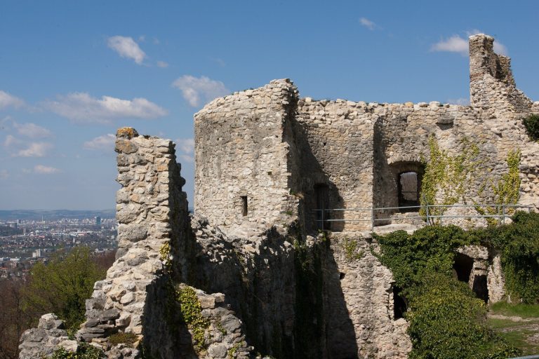
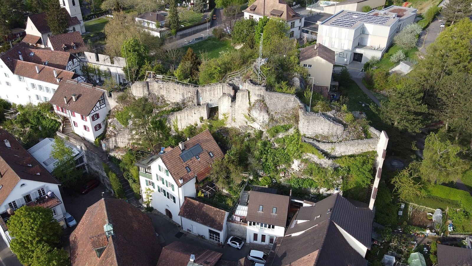
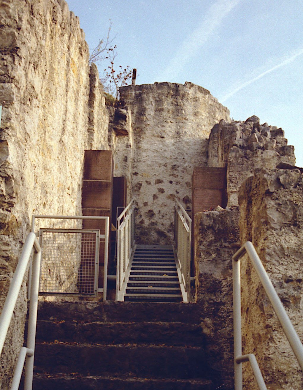
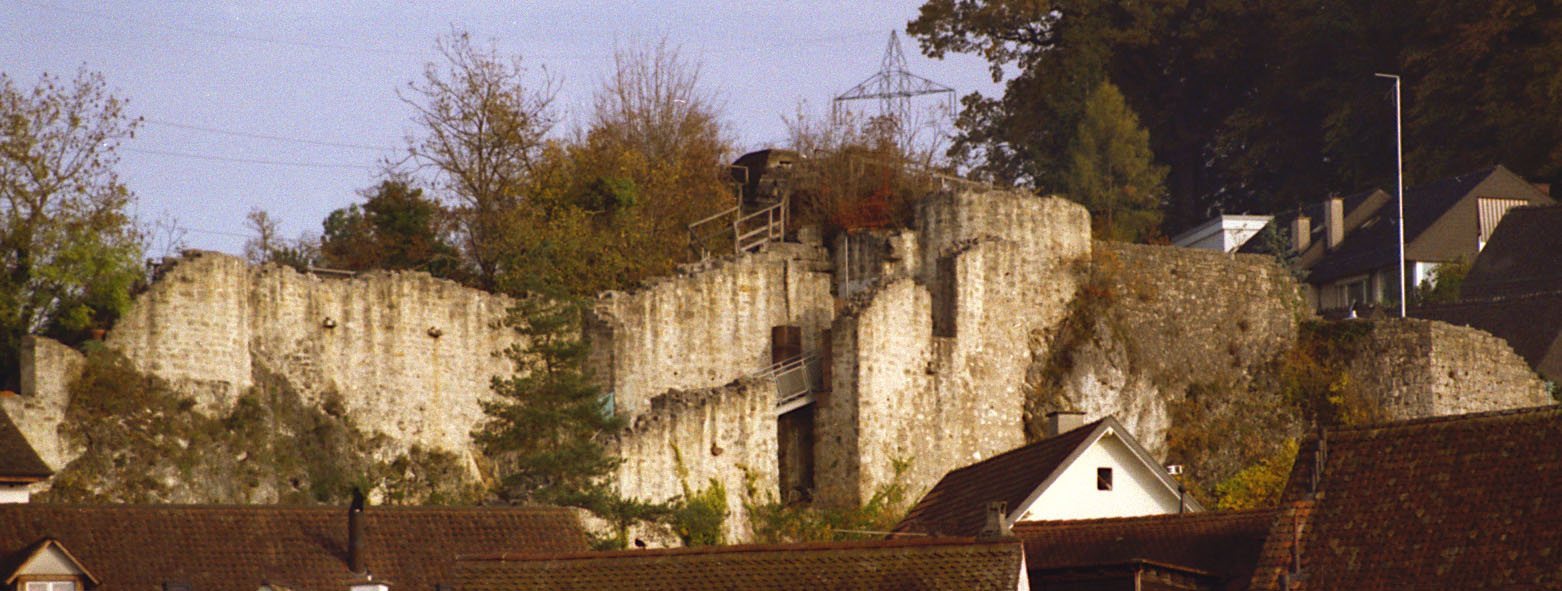
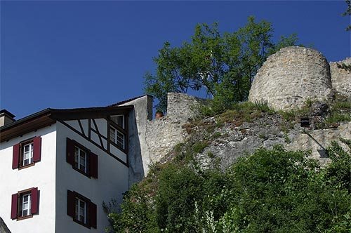
The castle occupied a long, narrow rock ridge sloping above the old village centre, at an elevation of 322.8 metres above sea level. Its restricted site shaped a plan with upper and lower castles and relatively tall, narrow buildings, constructed of stone and wood. The walled village formed the outer bailey, the castle’s outer enclosed area. A steep slope descended west towards the Birs plain and protected the village on that side, while the castle rock lay to the east. Today, slight wall remains survive. Extensive quarrying limits what can be reconstructed from the fabric, while pictorial evidence begins in the 17th century.
Upper castle
A massive round defensive tower stood at the highest point of the upper castle. A small courtyard separated it from a multi-storey residential hall. Another residential building stood to the southeast, against the enclosing wall; it had smoke flues and a projecting toilet bay. Before the upper castle gate, a tilting bridge addressed the steep, narrow approach, where a drawbridge would have been impractical. The bridge rested on a crossbeam at its midpoint. When released, it pivoted upright around the beam and blocked access to the gate.
Lower castle
The lower castle occupied a narrow rock terrace northwest of the upper castle. A wall topped with battlements enclosed it, with a shed-roofed building set against the inside of the wall. The building’s purpose is uncertain.
Village enclosure and entrances
Walls and gates
The village wall enclosed the outer bailey in two connected sections. The northern section ran from the lower castle wall to the northern Basel Gate, then continued west and south around the village. Another section began at the upper castle’s southeast corner, ran to the southern Upper Gate, and continued west and north until it met the northern section.
Road and crossings
The Basel–Dornach road passed through the village between the Basel Gate to the north and the Upper Gate to the south. Ditches before the gates were crossed by drawbridges, replaced from the 17th century by stone bridges. An engraving made around 1642 by Matthäus Merian depicts the gate towers with either battlemented tops or roofs.