Monsilienburg: A Medieval Fortified Earthwork in Germany

Site at a Glance
- Rating
- 4.6
- Popularity
- Very Low
- Country
- Germany
- Primary era
- Medieval
- Eras represented
- Medieval
- Civilizations
- Holy Roman Empire
- Site type
- Military
- Remains
- Castle
On this page9 sections
History
Monsilienburg is a fortified medieval earthwork in Germany, located in woodland near Beverstedt in Lower Saxony. Its builders and construction date are unknown, but the site was probably established to protect nearby settlers. Its position on a raised Geest ridge, an elevated area often contrasting with northern Germany’s marshes and wetlands, gave the fortification a naturally defensible setting.
Origins and medieval destruction
Monsilienburg is cautiously identified with Castrum monsowe, a castle associated with the medieval Prince-Archbishopric of Bremen. This was an ecclesiastical principality whose archbishop also held secular power over its territory. The identification remains uncertain, and the original purpose of the earthwork is likewise unresolved. Local interpretation places its construction in the Early Middle Ages and connects its deep ditches and wooden palisades with defense against raids by Hungarian cavalry.
The fortification occupied a tongue of higher ground that was originally surrounded by the Lune. Water from the river could reportedly be used to flood the defenses, adding to the protection provided by the marshy landscape. A record states that the Stedinger and Osterstader, medieval regional communities in the lower Weser and Elbe-Weser area, destroyed Castrum monsowe in 1212.
Abandonment and later tradition
After the destruction, the ruling von Luneberg family chose not to rebuild the castle. Instead, it established a new castle at Altluneberg. Hans Mindermann, formerly Beverstedt’s local heritage warden, attributed this decision to the cost and effort required to manage such a large fortification.
The site is also connected with a local legend about robber knights who abducted a maiden from Beverstedtermühlen. Its surviving earthworks have been regarded as a major fortification of their period and were considered among the largest castle complexes of their time in northern Germany.
Remains
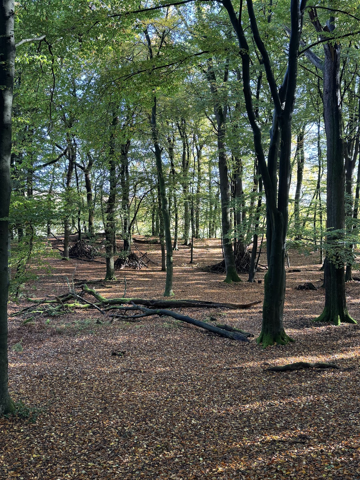
Monsilienburg is a lowland castle and ringwork, a defended enclosure formed mainly by a circular or enclosing rampart and ditch rather than a surviving stone castle. Dense woodland now conceals much of its former extent. At the center, a roughly square interior measuring about 70 by 70 metres is enclosed by a ring rampart. The eastern and southern sides were supported by the Lune’s marshy lowland, while the river and the surrounding defensive works could be used together to flood the position.
Central enclosure and ring rampart
Rampart and ditch
In 1905, the main rampart measured approximately 21 metres wide and 3.20 metres high. A berm, or level strip between a rampart and ditch, about 5 metres wide separated it from an outer ditch roughly 12 metres across and 2 metres deep. The scale of these earthworks reflects the substantial labor required to construct and maintain the fortification.
Outer defenses and entrance
Western and northern ramparts
The western and northern sides had additional defenses consisting of three outer ramparts, each accompanied by ditches. In 1906, these ramparts still stood about 1.5 to 2.5 metres above the bottoms of the ditches. Together with the river, marshes, and locally described wooden palisades, they formed a layered defensive system.
Southwestern entrance
The only gap in the fortifications lies on the southwest side, where the entrance is thought to have been located. A section of rampart in the foreground may mark the former outer bailey, an enclosed area outside the main castle enclosure used for subsidiary buildings or activities.