Milecastle 29: A Roman Frontier Fort on Hadrian’s Wall
Site at a Glance
- Popularity
- Medium
- Country
- United Kingdom
- Primary era
- Classical
- Eras represented
- Classical
- Civilizations
- Roman
- Site type
- Military
- Remains
- Fort
On this page8 sections
History
Roman frontier
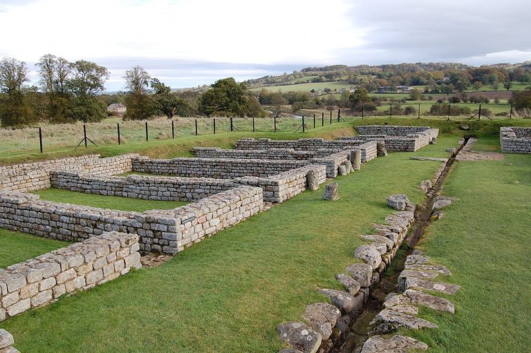
Milecastle 29, also known as Tower Tye, was a small Roman fortification built into Hadrian’s Wall in the United Kingdom, part of Rome’s frontier in northern Britain. Its longer dimension ran north to south, the defining feature of a long-axis milecastle. This type is thought to have been built by either Legio VI Victrix, based at York, or Legio XX Valeria Victrix, based at Chester.
Each milecastle was generally associated with two smaller observation or defensive structures called turrets. They were usually positioned about one-third and two-thirds of a Roman mile to the west, and probably staffed by members of the milecastle garrison. Milecastle 29’s associated structures were Turret 29A, also known as Black Carts, and Turret 29B, or Limestone Bank.
Antiquarian records and archaeological work
Before 1732, antiquary John Horsley proposed that the milecastle might stand apart from the Wall. Later evidence did not support his interpretation. Reverend John Hodgson recorded its dimensions in 1840. In 1858, surveyor Henry MacLauchlan described it as long demolished, with low turf-covered banks marking the former walls.
A 1957 edition of the Handbook to the Roman Wall noted the milecastle’s long-axis form and suggested that its outer ditch might have served for drainage. English Heritage investigated the site in 1989 as part of the Hadrian’s Wall Project. Turret 29A was excavated in 1873, 1912, and 1971, then consolidated by the Department of the Environment. Turret 29B was excavated in 1912.
Remains
Milecastle and earthworks
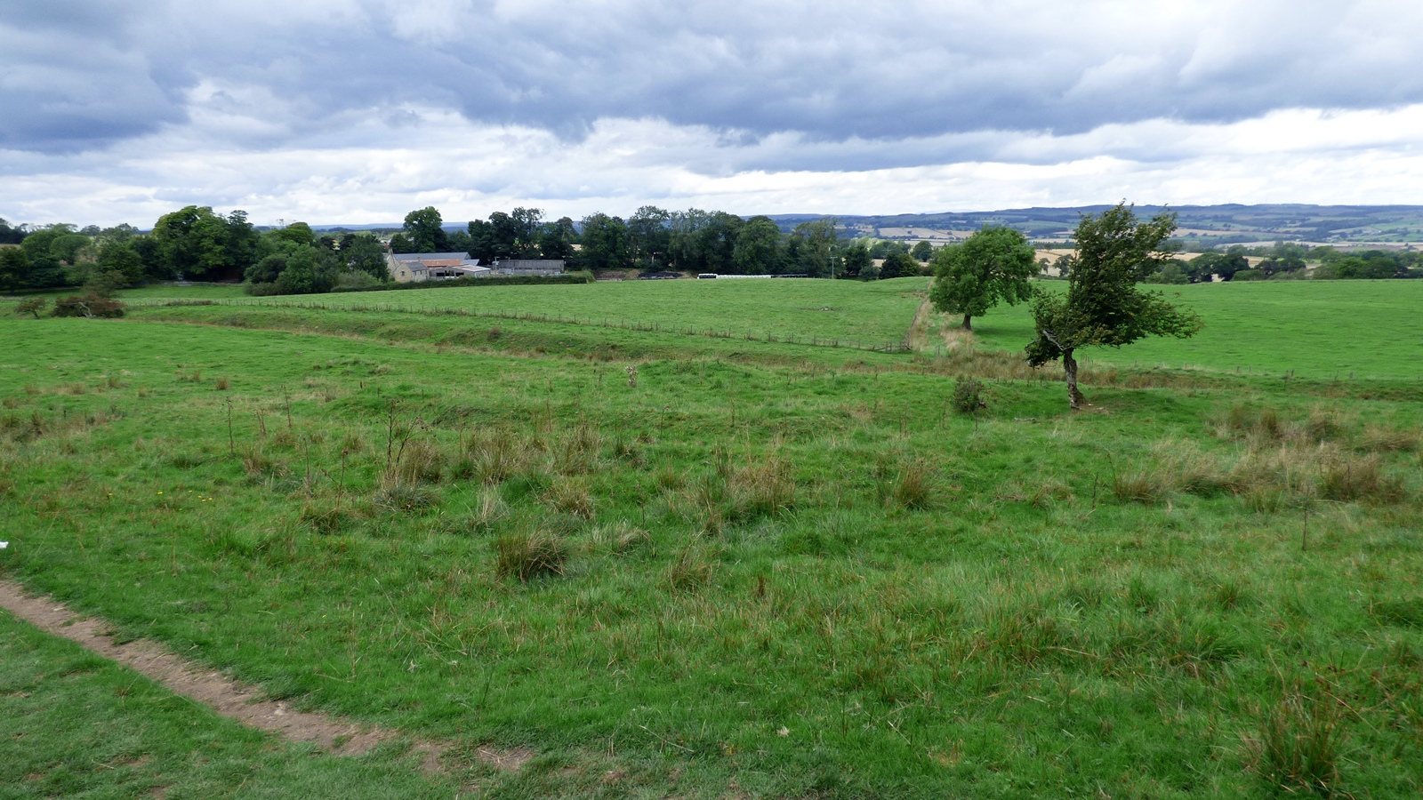
Beside the B6318 Military Road, Milecastle 29 survives as a damaged earth platform. Deep robber trenches, cuts made when masonry was taken away for reuse, mark all four sides. Measurements taken in 1840 give the structure a north-to-south length of 63 feet (19 m) and an east-to-west width of 58 feet (18 m). Its two southern corners, on the side away from the Wall, were rounded. The gateway type cannot be identified.
A ditch encloses the milecastle and is still faintly visible, with a pronounced hollow at the southwest side. A raised crossing, or causeway, spans the ditch opposite the south gate. Farther east, a break in the Vallum’s north mound and a causeway over its ditch lie offset from the milecastle. The Vallum is a substantial earthwork south of the Wall. A causeway across the Wall ditch opposite the north gate is possible, but uncertain.
Associated turrets
Turret 29A, Black Carts
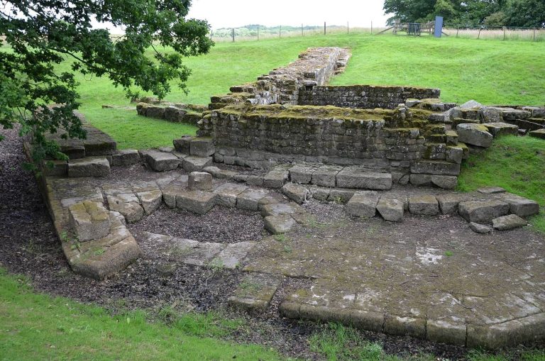
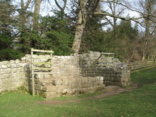
Turret 29A lies about 100 m east of the minor road to Simonburn, within a 460 m stretch of surviving curtain wall, the continuous wall between defensive structures. This stretch is a thinner form of the wall, with foundation stones visible. The turret’s masonry rises to eleven courses in its recess, although the south side has been heavily robbed. Broad wing walls, projecting side walls, indicate that the turret predates Hadrian’s Wall.
The turret measures 3.45 by 3.40 m internally. Its entrance, 0.9 m wide, is on the east side of the south wall. Each upright door-frame stone is a single piece, and fourteen cut stones form each horizontal row at the highest point. The Vallum is visible to the south. The name element “Carts” derives from the Old English ceart, meaning “rocky and rough.” Excavations recovered millstone fragments and unusually high numbers of coins of Vespasian, Trajan, Hadrian, and Constantine.
Turret 29B, Limestone Bank
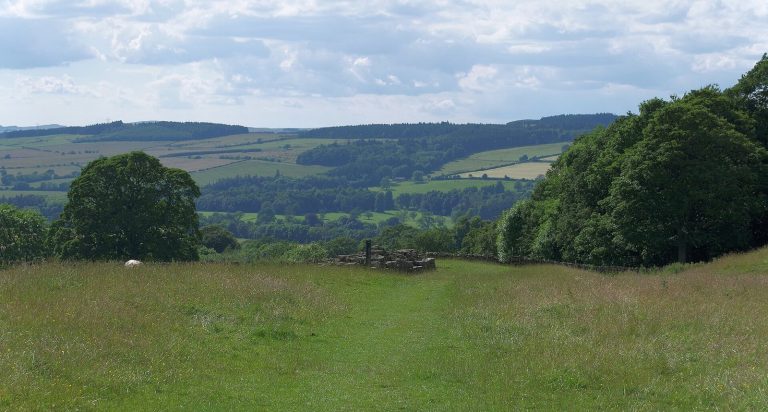
Turret 29B survives as a low earthwork covered with turf. A track linking it to the Military Way, the Roman road behind Hadrian’s Wall, can still be discerned. Its general arrangement and wing walls resemble those of Turret 29A.
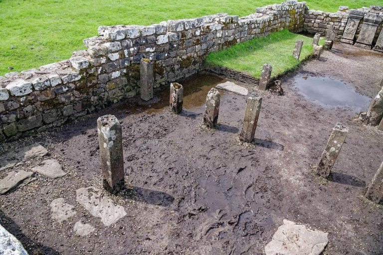
Among the interior debris were roofing slabs, many pierced by nails, and three large flagstones that may have come from an upper floor. Beneath them, a later flagged floor overlay an original clay floor. A masonry platform stood at the southwest corner of the later floor. Beside the east wall, an amphora, a large vessel used to store or transport goods, was set into clay and cobbles; a hearth lay against the west wall.