Mesa de Miranda: A Vetton Hillfort in Ávila, Spain
Site at a Glance
- Popularity
- Medium
- Country
- Spain
- Primary era
- Iron Age
- Eras represented
- Iron Age, Classical
- Civilizations
- Celtic
- Site type
- Military
- Remains
- Fortified Town
On this page13 sections
History
Mesa de Miranda is a Vetton hillfort in Chamartín, Ávila, Spain. Built by the Vettons, an ancient Celtic people of Iberia, its construction is broadly dated to the fifth century BC, and occupation continued from the late fifth century into the first century BC. The name refers to the flat landform beneath the settlement and its proximity to the Casas de Miranda estate.
Formation and use
The hillfort’s enclosures were built in stages, a sequence indicated by differences in their masonry. The perimeter wall is thought to date to the early fourth or late third century BC. The oldest and largest enclosure probably held most of the population. A second enclosure served as a residential area and a place for crafts and storage, and could also shelter livestock when needed. The concentration of workshops there has been characterized as one of Europe’s earliest industrial districts.
The eastern enclosure provided an additional line of defense. Estimates based on the settlement’s area, houses and cemetery suggest that about 300 to 375 people lived there.
Conflict and abandonment
Vetton communities occupied territory between the Douro and Tagus rivers. During the Celtiberian Wars, conflicts between Rome and peoples of central and northeastern Iberia from 155 to 133 BC, Vettons often allied with the Lusitanians. They were associated with attacks on settlements in the Guadalquivir valley and on Roman troops. Vettons also took opposing sides in the Roman civil wars fought in Hispania, the Roman name for the Iberian Peninsula and its territories.
The eastern enclosure may have been added during the Celtiberian Wars or during the civil wars of the first century BC. Roman conquest ultimately brought occupation of the hillfort to an end. Abandonment may have taken place around 133 BC, but a later end, after the civil wars, is considered more likely. This would have occurred during Augustus’s reorganization of Hispania; Augustus, Rome’s first emperor, ruled from 27 BC to AD 14.
The cemetery and its society
La Osera cemetery was used from the third century BC into the early third century AD, continuing beyond the hillfort’s occupation. Burial arrangements indicate a society divided by rank, including a military aristocracy associated with weapons and prestigious possessions.
Archaeology and protection
Antonio Molinero identified the site in 1930. Juan Cabré Aguiló led excavations from 1932 to 1934 and again from 1943 to 1944, with assistance from Molinero and María Encarnación Cabré. Their work concentrated chiefly on La Osera and the defenses. Later efforts focused mainly on presenting and enhancing the site, and the fortified settlement was restored. In September 2021, the hillfort and cemetery received Spain’s Asset of Cultural Interest designation as an archaeological zone, completing a process begun in November 1980.
Remains
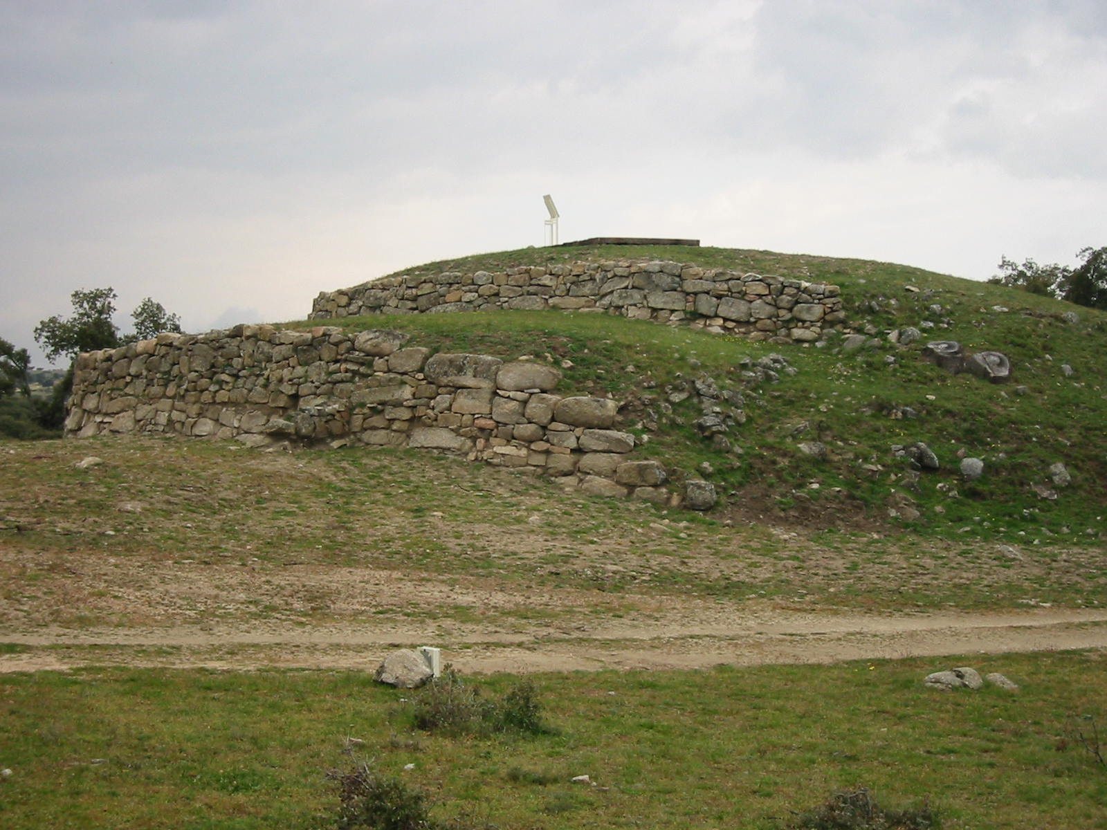
The settlement occupies a plateau where two small watercourses meet. Their erosion created deep valleys, while a steep-sided valley or cliff bounds the north. Narrow, deep valleys border three sides, and the defenses follow the terrain’s contours. The location lies between mountain country and the sedimentary landscape of the Duero valley. Three enclosures cover about 29 hectares; together with the approximately 3.5-hectare cemetery, the known archaeological area covers 32.6 hectares.
Walls and enclosures
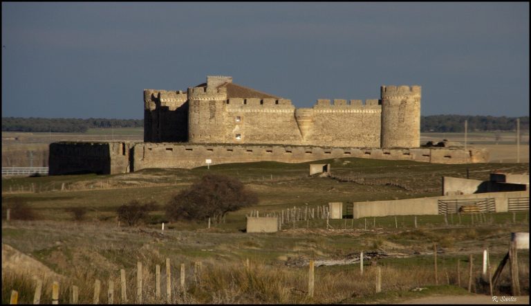
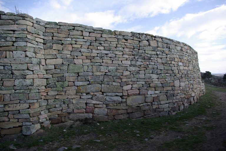
A stone wall, about 2,832 metres long and five metres wide on average, surrounds the settlement. It is built from large stone blocks. Gates flanked by towers connect the first two enclosures.
Castillo Bajero
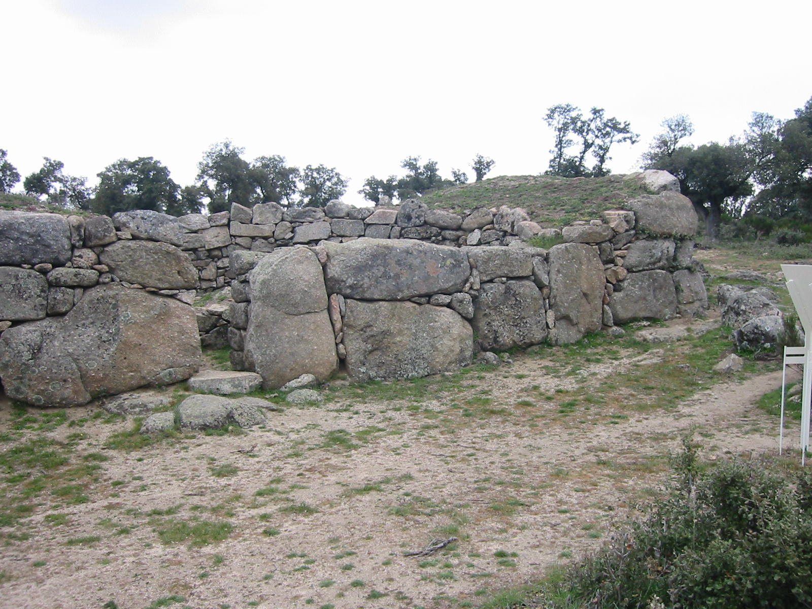
The northern Castillo Bajero is the oldest enclosure. It covers 11.5 hectares, has a rectangular plan and a perimeter of 1,303 metres. In its southern part, two gates flanked by circular towers are associated with a ditch and fields of upright stones. At this vulnerable point, a second facing strengthens the wall; its collapse filled the ditch. One gate was blocked in antiquity, apparently to make the defenses less vulnerable.
Castillo Cimero
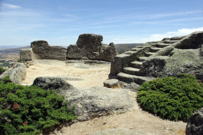
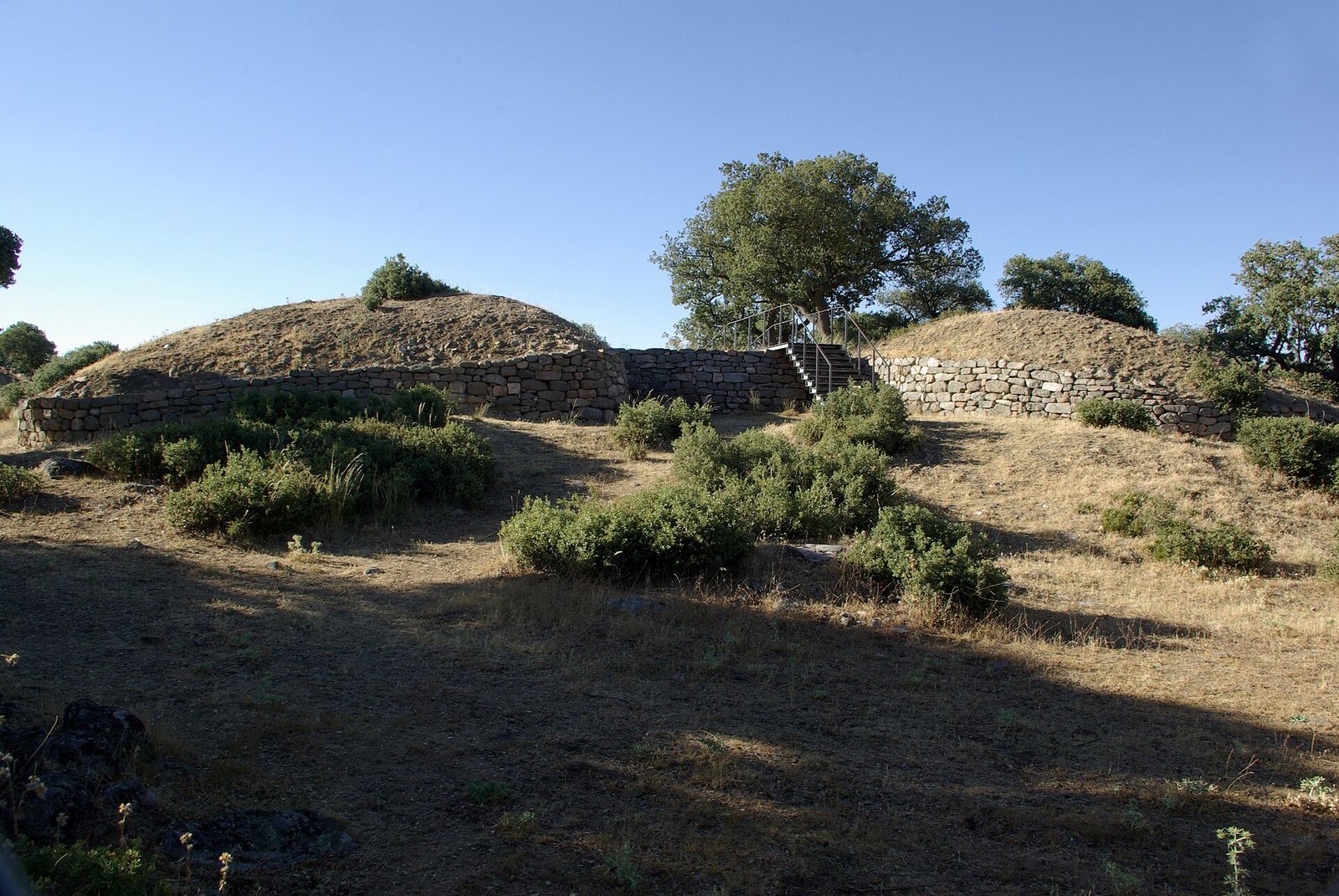
Adjoining Castillo Bajero to the south, Castillo Cimero covers 7.1 hectares. Its trapezoidal perimeter measures 1,716 metres. A large circular tower defended its southern part, and the surviving structure now incorporates a viewing platform.
Eastern enclosure
The third enclosure adjoins the earlier pair on the east and covers 10.5 hectares. Its stones are notably larger than those used in the other enclosures, especially Castillo Bajero. Its dimensions have led to the interpretation that it may have served as a livestock enclosure.
La Osera cemetery
Burial areas and markers
The cemetery lies immediately south of the hillfort. It extends into part of the eastern enclosure and beyond the defenses to the south and southeast. Its 2,230 graves are cremation burials, with remains placed in urns or directly in pits; some graves or groups of graves were marked by stone mounds.
Six distinct cemetery areas were marked by upright stones between 50 and 160 centimetres high. These markers have been interpreted as signs of family lineages or social groups. Their alignment has been linked to the constellation Orion and beliefs about the afterlife. Another interpretation associates the stones with observing the solstices and with Celtic religious festivals.
Objects from the graves
Objects associated with some burials include brooches, arrowheads, javelins, daggers and ceramic vessels. The graves also contain urns holding cremated remains.