Maišiagala Hillfort: A Medieval Castle Site in Lithuania
Site at a Glance
- Rating
- 4.3
- Popularity
- Very Low
- Country
- Lithuania
- Primary era
- Medieval
- External website
- Open
- Eras represented
- Classical, Medieval
- Civilizations
- Grand Duchy of Lithuania
- Site type
- Military
- Remains
- Castle
On this page13 sections
History
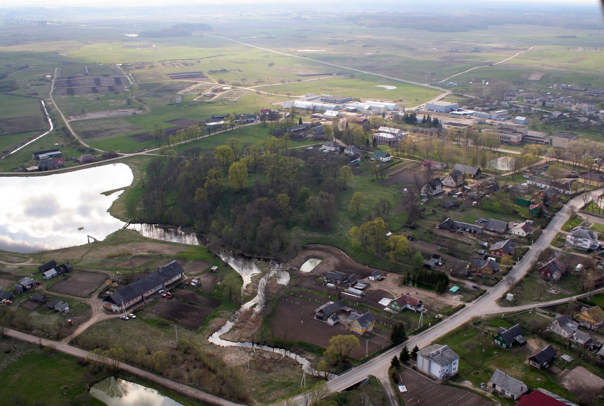
Maišiagala hillfort is a fortified archaeological site in Lithuania, on the southwestern edge of Maišiagala. Established at the beginning of the first millennium, it was abandoned from the middle of that millennium before being resettled at the beginning of the second millennium, when its summit was enlarged. The site is also known as Bona’s Castle, after Bona Sforza, the Italian-born queen consort of Poland and grand duchess of Lithuania in the sixteenth century.
Early Settlement and the Medieval Castle
Maišiagala probably formed part of the inner ring of castles defending the northern approaches to Vilnius. The castle was probably built mainly of wood. Its earliest cultural horizon contains postholes and brushed pottery, while a clay layer up to 1.3 metres thick was added above it in the fourteenth century.
After the hillfort was resettled in the early second millennium, its summit was expanded and its defences developed. Following an attack in 1365, the fortifications were strengthened, probably by deepening the ditch around the foothill and covering the summit with a clay layer as much as 2 metres thick. The castle was later enclosed by a wooden defensive wall coated with clay.
Attacks by the Teutonic Order
At the end of August 1365, an army of the Teutonic Order approached from Vilnius and attacked and burned Maišiagala Castle. The Teutonic Order was a medieval Catholic military order that conducted campaigns against the Grand Duchy of Lithuania. The fire created a destruction layer containing burned buildings and twelve burned sheep skeletons. The debris was then covered with clay, probably as part of the rebuilding and strengthening of the site.
Maišiagala Castle was mentioned again in 1377, when the remains of Algirdas, Grand Duke of Lithuania, were burned near it. In 1390, another Teutonic Order army attacked, captured, and burned the castle, taking 1,340 captives. A layer formed after this assault contains a burned building with a clay oven, animal bones, pottery, grain, and metal objects.
Excavation and Interpretation
Excavations directed by Regina Volkaitė-Kulikauskienė in 1971 to 1973 investigated 382 square metres of the hillfort. They revealed a cultural layer up to 5.4 metres thick, divided into three horizons. The excavated finds are held by the National Museum of Lithuania.
In the nineteenth century, an unidentified investigator dug into the hillfort. The unfilled excavation cuts substantially changed the appearance of the summit. The hillfort was associated with a one-hectare settlement at its foot, extending north and southwest of the main enclosure.
Remains
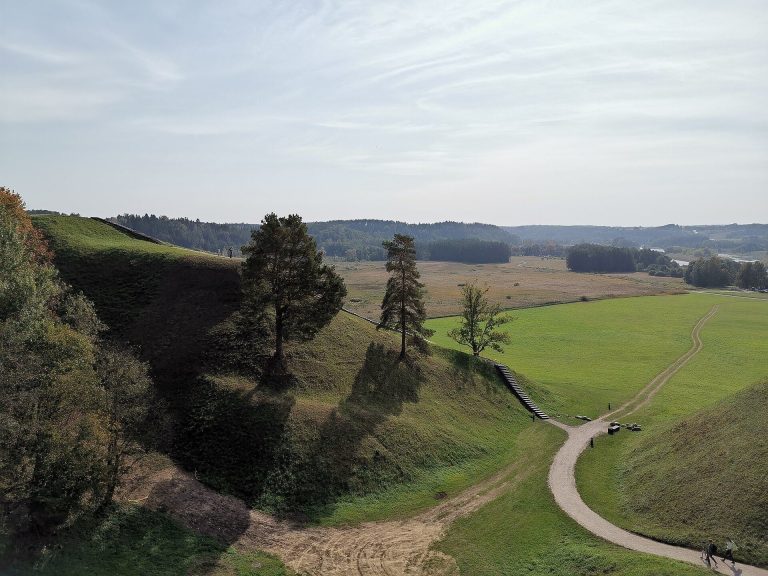
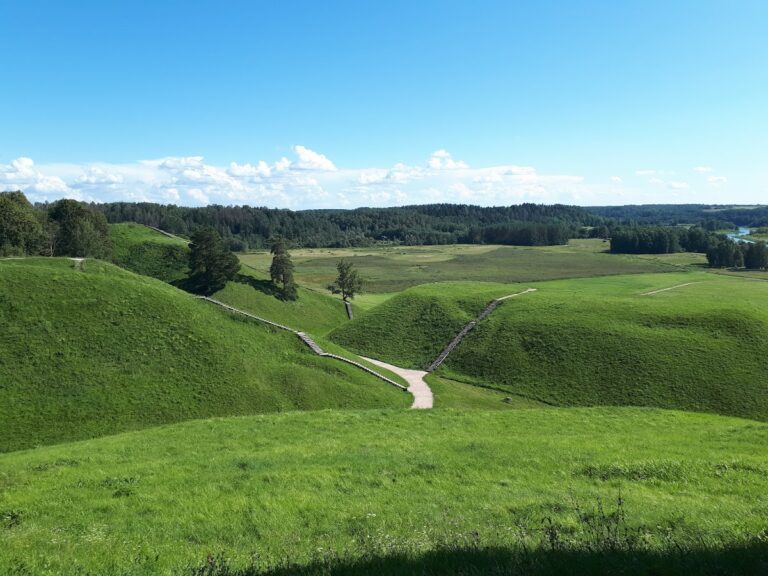
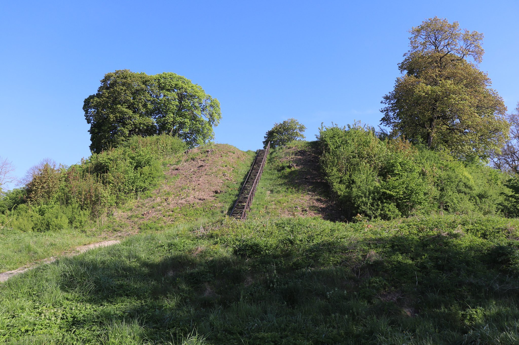
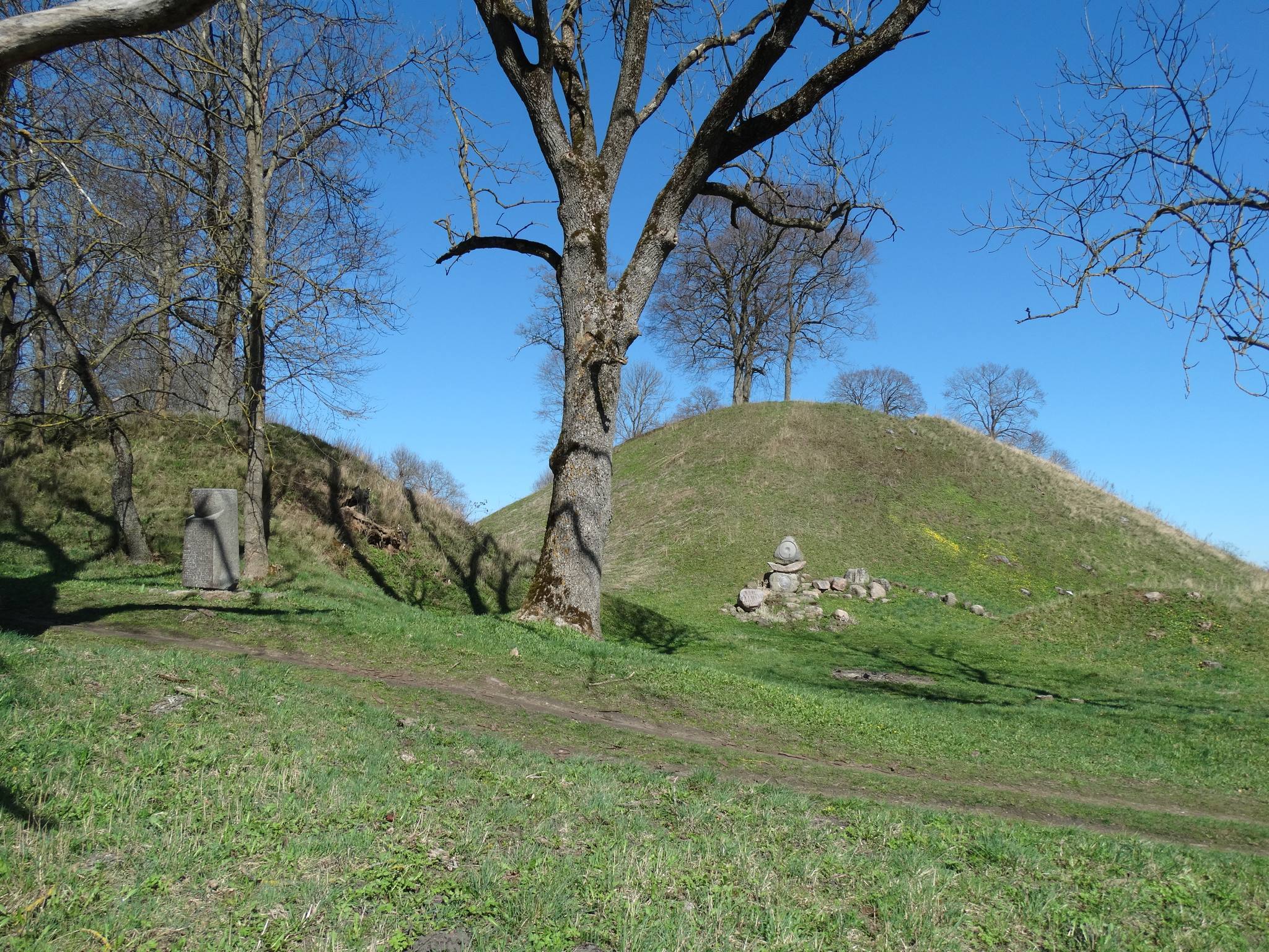
Maišiagala hillfort occupies a hill at the edge of an upland on the right bank of the Dūkšta River. Its steep slopes rise 14 to 18 metres. The oval summit measures 40 by 65 metres, while a fortified outer bailey occupied higher ground to the northeast. A foothill settlement covered about 1 hectare around the hillfort.
Hillfort Defences
Summit and Earthworks
A ditch 360 metres long, 30 metres wide, and 4 metres deep surrounds the hillfort at its foot. Beyond it lies an embankment 270 metres long and 4 metres high. A second ditch south of the embankment is 5 metres wide and 1 metre deep. The summit is divided by nineteenth-century excavation cuts, including a north to south ditch 12 metres wide and 2 to 3 metres deep, an east to west ditch 8 metres wide and 1.5 metres deep, and a shorter ditch of similar depth in the southwest. Soil from the main cut forms an eastern embankment up to 1.5 metres high and 8 metres wide.
Northeastern Outer Bailey
The outer bailey’s surviving southern side includes a ditch 6 metres wide and 1 metre deep. Beyond it is an embankment approximately 2 metres high and 13 metres wide, with an outer slope reaching 4 metres in height. The surviving embankment is 120 metres long. The outer bailey is estimated to have measured about 200 metres from southwest to northeast and 120 metres across, although buildings in the town have heavily damaged its summit. Its probable southwest to northeast alignment remains clearer than its exact original dimensions.
Wooden Defensive Wall
After the 1365 attack, a defensive wall of wood coated with clay enclosed the castle. Burned wooden buildings and a clay oven survive in the excavated layers, linking the physical remains to the castle’s medieval rebuilding and later destruction.
Settlement and Material Remains
Foothill Settlement
The settlement around the hillfort extended north and southwest of the enclosure and covered approximately 1 hectare. Its remains include evidence of varied cultivation. Grain finds represent about twenty species and subspecies of cereals and legumes, including winter and spring rye, winter and spring wheat, several forms of barley, oats, millet, buckwheat, lentils, peas, beans, vetch, and a small amount of hemp. Wooden vessels were found with the grain.
Animals and Agricultural Tools
Debris from the fourteenth-century destruction contained the remains of approximately twenty sheep, several goats, and other domestic animals. Twelve burned sheep skeletons were specifically identified in the excavations. The animals were probably driven into the castle when an attack threatened, where they suffocated and burned during the fire. Three iron ploughshares, including one for a one-share plough and two for a two-tined ard, were found with three iron scythes and four large, strongly curved iron sickles. Other tools included a hoe, a shovel fitting, and additional metal implements.
Household and Devotional Objects
Other excavated objects include an iron loop, latch, key, scissors, sheet-metal brooch, bell fragment, and sickle. The layer formed after 1390 contained a bronze cross-shaped enkolpion pendant, a small devotional or reliquary cross, together with a bracelet, wheel-thrown pottery, grain, and the remains of a pig and a cat. The hillfort is now covered by sparse deciduous trees, with a stone monument at its southwestern foot and stairs on its northern slope.