Lizdeikos kalnas: A Hillfort and Fore-Hill at Kernavė, Lithuania
Site at a Glance
- Rating
- 5
- Popularity
- Very Low
- Country
- Lithuania
- Primary era
- Medieval
- Eras represented
- Classical, Medieval
- Civilizations
- Grand Duchy of Lithuania
- Site type
- Military
- Remains
- Fort
On this page4 sections
History
Lizdeikos kalnas is a hillfort and former fore-hill at Kernavė in Lithuania, occupied from the first century to the beginning of the fifteenth century. It formed part of the Kernavė hillfort complex and stood in front of Aukuro kalnas, the principal hillfort associated with the site. The name honors Lizdeika, traditionally described as a krivis, a high-ranking pagan religious official in the pre-Christian Baltic religious tradition.
The hillfort is also known as Kernavė Hillfort III with Settlement, Kernavė III, Smailiakalnis, Kriveikiškės, and Smailakalnis. Its wider archaeological complex includes more than 50 archaeological, historical, and cultural monuments, including Aukuro kalnas, the fore-hill known as Mindaugo sostas, Įgulos kalnas, cemeteries, burial mounds, and settlements.
The Kernavė archaeological site became a state cultural reserve in 1989. It was declared a cultural monument by a Lithuanian government resolution of 23 December 1999, and the complex was inscribed on the UNESCO World Heritage List in July 2004. UNESCO World Heritage status places cultural sites considered to have outstanding significance for humanity within an international heritage framework. Lizdeikos kalnas occupies 74,000 square metres within the protected monument territory.
The Institute of History surveyed the hillfort in 1970. In 1979, Pranas Kulikauskas excavated a 54-square-metre area at the eastern foot of the rampart, revealing two defensive ditches. These investigations added physical evidence to the understanding of the hillfort’s defensive arrangement and its relationship to the surrounding Kernavė complex.
Remains
Hillfort Structure
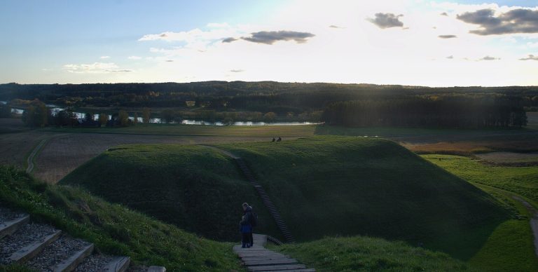
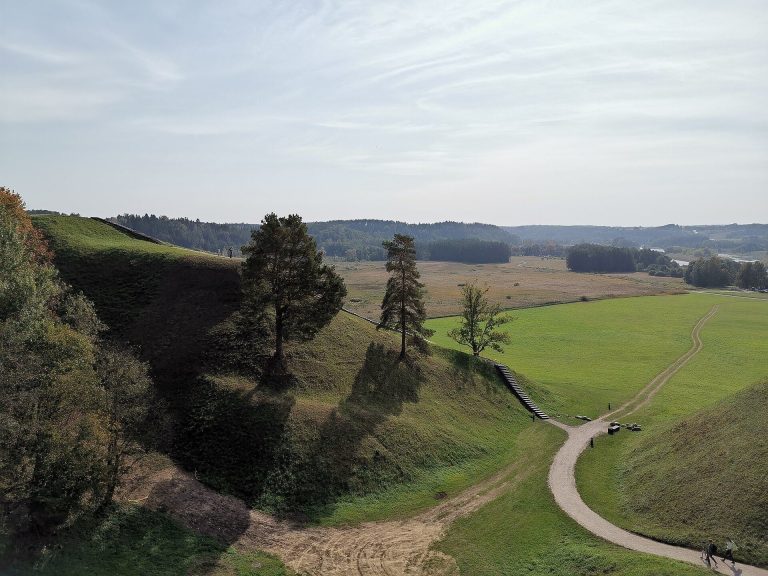
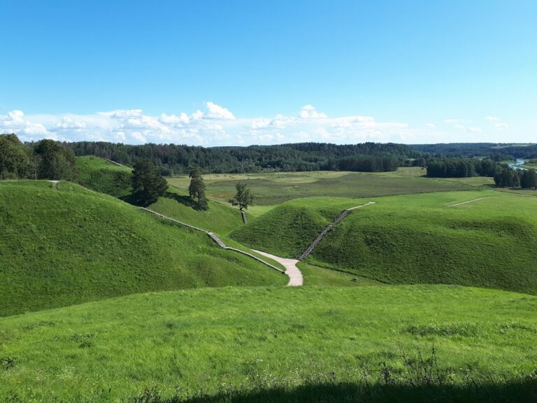
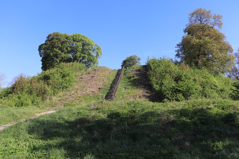
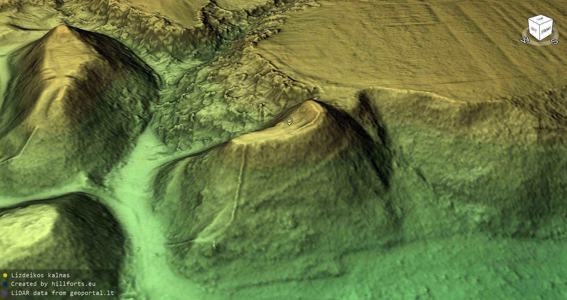
Lizdeikos kalnas occupies a highland promontory east of Aukuro kalnas, beyond a natural ditch about 20 metres deep and 50 metres wide. The steep slopes rise 25 to 30 metres. At the summit, an elongated and irregular quadrilateral platform measures 27 by 12 metres and follows an east-west alignment. This arrangement reflects the basic form of a hillfort, a settlement or defensive site established on naturally elevated ground and strengthened with earthworks.
A rampart was built across the eastern end of the summit. It is 4.5 metres high and 17 metres wide, while its outer slope descends for 6 metres toward the defensive ditches. The northern part of the hill has slipped, and erosion there was stabilized between 1985 and 2004.
Defensive Ditches and Settlement
Two defensive ditches lie beyond the rampart. Each measures 2 to 3 metres across at the top and 1 to 1.5 metres in depth, with about 20 metres separating them. Their exposure during the 1979 excavation clarified the defensive works at the eastern end of the summit.
Traces of a settlement were found in the ploughed field beyond the rampart. Together with the elevated platform, rampart, and ditches, this evidence shows that Lizdeikos kalnas combined a defensible highland position with an associated settlement area.