Le Cheslé: A Celtic Hillfort in Belgium
Site at a Glance
- Popularity
- Medium
- Country
- Belgium
- Primary era
- Iron Age
- Eras represented
- Iron Age
- Civilizations
- Celtic
- Site type
- Military
- Remains
- Fort
On this page7 sections
History
Le Cheslé is a Celtic hillfort southwest of Bérismenil, in the municipality of La Roche-en-Ardenne, Belgium. Built at the beginning of the Iron Age, the period when iron came into widespread use, it served as a refuge for people from nearby villages.
Between the eighth and sixth centuries BC, the fort was probably used intermittently rather than occupied continuously or for long periods. Its defenses were strengthened during the period of Celtic occupation.
Local folklore also links the hard-to-reach site with elves, supernatural beings associated in European tradition with natural places. The Golden Goat legend tells of a treasure chest in a well at the center of Le Cheslé. At Christmas, the chest is said to rise when midnight-mass bells ring twelve times. A person seeking it must throw a black hen into a chasm and retrieve the bird without speaking. According to the tale, three farmers who tried the task spoke too loudly about their success and disappeared forever.
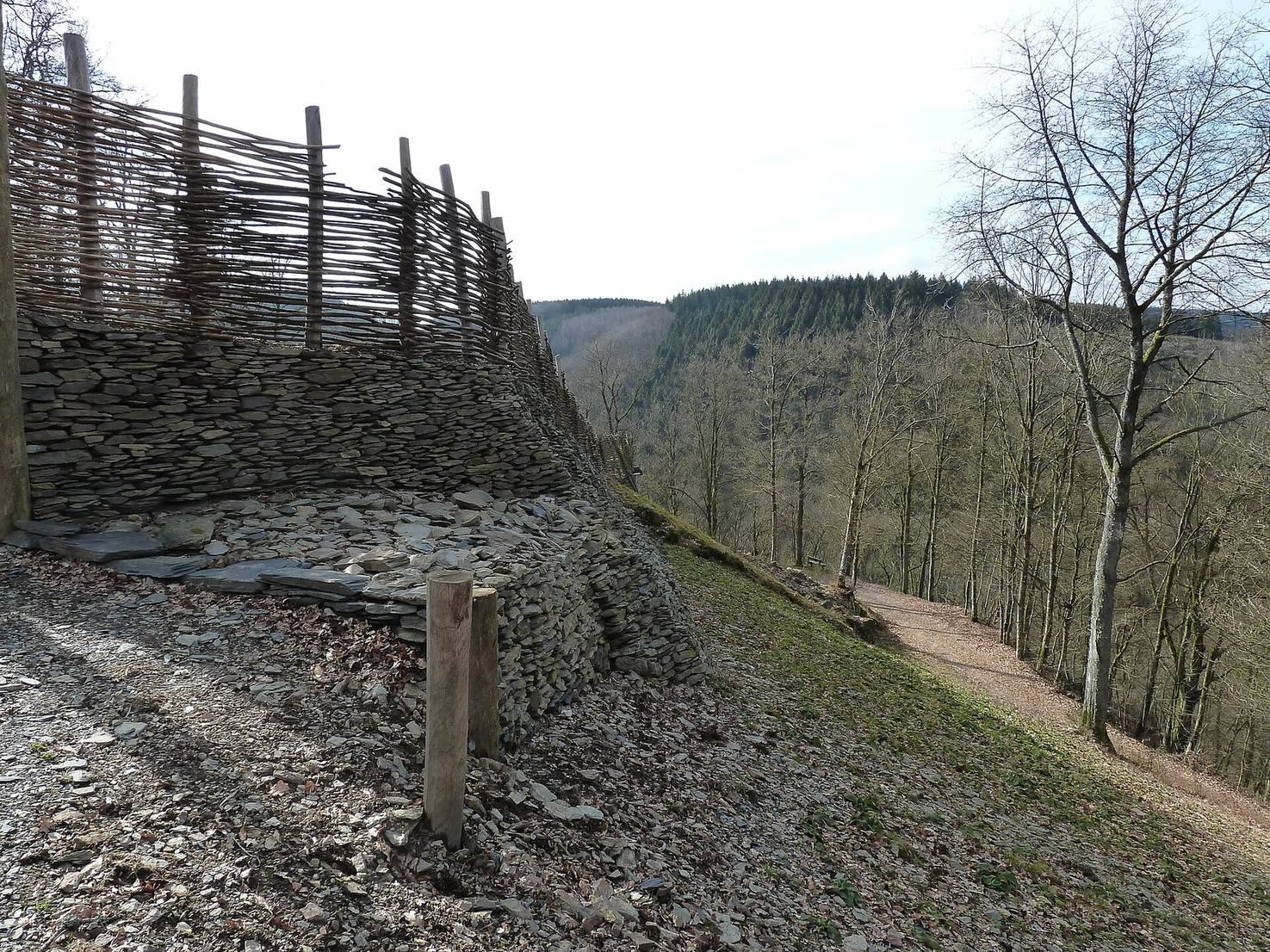
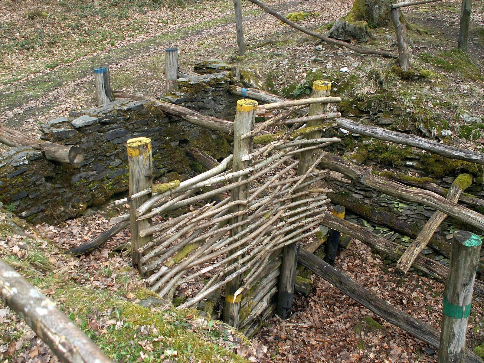
Archaeological excavations and rampart reconstruction work have taken place since 1960. The Free University of Brussels investigated the barrier wall at the fort’s most vulnerable point, and in 1980 the National Excavation Service reconstructed a defensive work on the northern side. Le Cheslé became a protected heritage site in 2003 and is included in the Major Heritage of Wallonia listing for the archaeological site of Le Cheslé and the Ourthe Valley between Maboge and Nisramont.
Remains
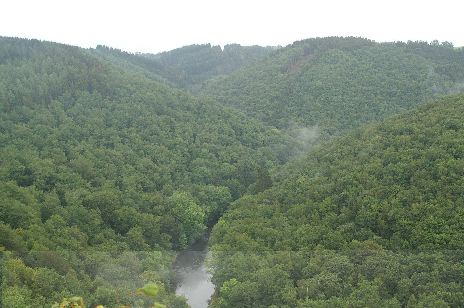
The hillfort occupies a rocky promontory about 80 metres above the Ourthe River. Its plateau measures approximately 725 by 290 metres and covers about 13 hectares. The river curves around it, while steep slopes protect the eastern, southern, and western sides. Constructed defenses reinforce the more accessible parts of the site.
Fortifications and approach
Double rampart
A double rampart of earth, schist, and wood extends for more than 1,750 metres. It follows the less steep stretches of the plateau, complementing the natural protection provided by the slopes.
Northern barrier wall
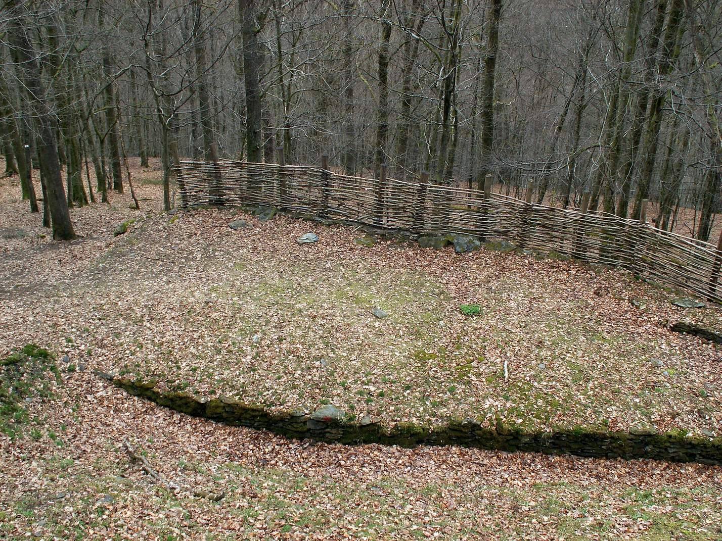
At the narrow part of the river loop north of the plateau, a barrier wall guarded the hillfort’s most vulnerable side. It stood about six metres high and was arranged to face attacks coming from the plateau.
Northern approach
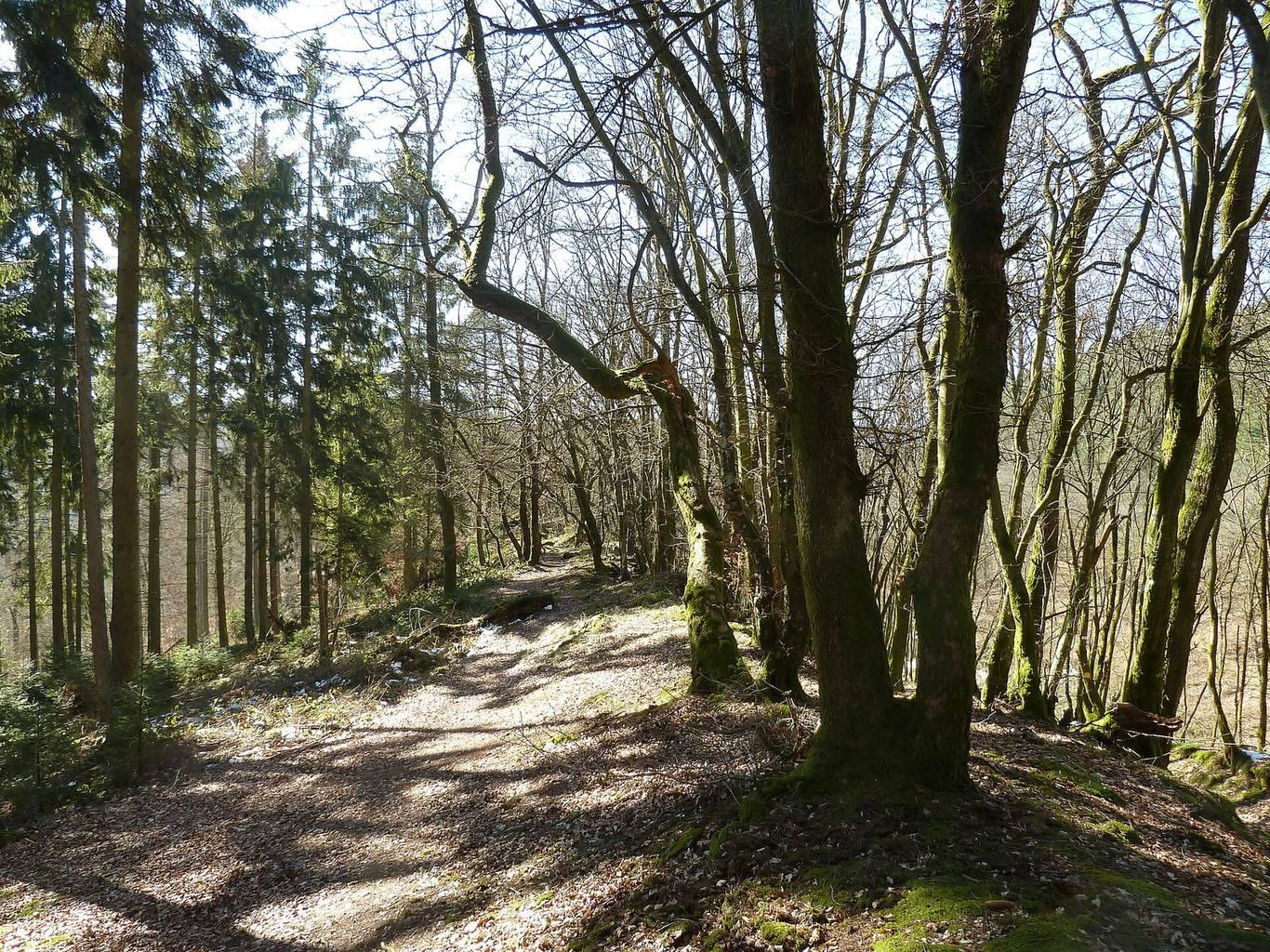
The original approach followed a narrow route along a rocky spur on the north side. A wider, easier path was later formed a little farther west.
Entrance wall
A section of defensive wall beside the entrance has been reconstructed. Excavated and reconstructed walls remain within the site, which is now a nature area overlooking part of the Ourthe Valley.