Lauterstein Castle (Marienberg): Medieval Administrative and Defensive Center


Site at a Glance
- Rating
- 4.4
- Popularity
- Low
- Country
- Germany
- Primary era
- Medieval
- Eras represented
- Medieval
- Civilizations
- Holy Roman Empire, Margraviate of Meissen
- Site type
- Military
- Remains
- Castle
On this page8 sections
History
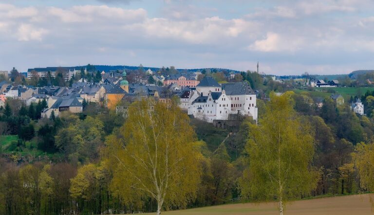
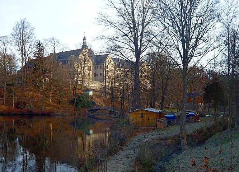
Lauterstein Castle (Marienberg) is a medieval hilltop castle in Germany, constructed during the second half of the twelfth century. Located in Niederlauterstein, a locality of Marienberg in Saxony, it served as the administrative and lordly center of the surrounding domain while protecting the medieval trade and mountain-pass route from Leipzig across the Ore Mountain ridge to Prague.
Origins and territorial rule
Archaeological excavations carried out between 1974 and 1977 place the castle’s construction in the second half of the twelfth century. Its first written mention dates to 1304, when Johannes in Lutierstein, a member of the Erdmannsdorf ministerial family, appeared in a charter.
In 1323, Margrave Frederick the Brave of Meissen granted Lauterstein Castle and the town of Zcobelin, now Zöblitz, to Burgrave Albrecht of Altenburg and Otto of Leisnig after the Schellenberg family had lost a feud with Altzella Abbey and surrendered control of the territory. Members of the Schellenberg family nevertheless continued to administer the castle at that time.
The Berbisdorf lordship
Kaspar von Berbisdorf, a Saxon nobleman, mine owner, and owner of metalworks in the Ore Mountains, acquired the Lauterstein lordship from Otto of Leisnig and Albrecht of Altenburg in 1434 for 4,000 guilders. His descendants divided the lordship and castle into Oberlauterstein and Niederlauterstein in 1497. A wall was built through the center of the complex, creating a jointly held castle, a fortified residence divided among several co-owners with separate areas or rights.
Under the Berbisdorfs, the complex was enlarged in a palace-like manner. A fire damaged the castle in 1530, but rebuilding followed within a few years. In 1559, Elector Augustus of Saxony compelled the Berbisdorf family to sell the castle and lordship for 107,784 guilders. He then made Lauterstein the seat of an Amt, an early-modern Saxon territorial administrative district.
Destruction and later status
Local tradition holds that three Swedish cavalrymen set fire to the castle on 14 March 1639 during the Thirty Years’ War, the major European conflict fought from 1618 to 1648. The castle was not rebuilt after the fire and has remained a ruin. The administrative seat of Amt Lauterstein was moved first to Marienberg and later to Olbernhau and Zöblitz.
Objects recovered at the site date from the twelfth to the seventeenth century. The castle area was registered as the archaeological monument “Lauterstein/Castle Ruin” on 25 November 1968.
Remains
Fortification and setting
Hilltop enclosure
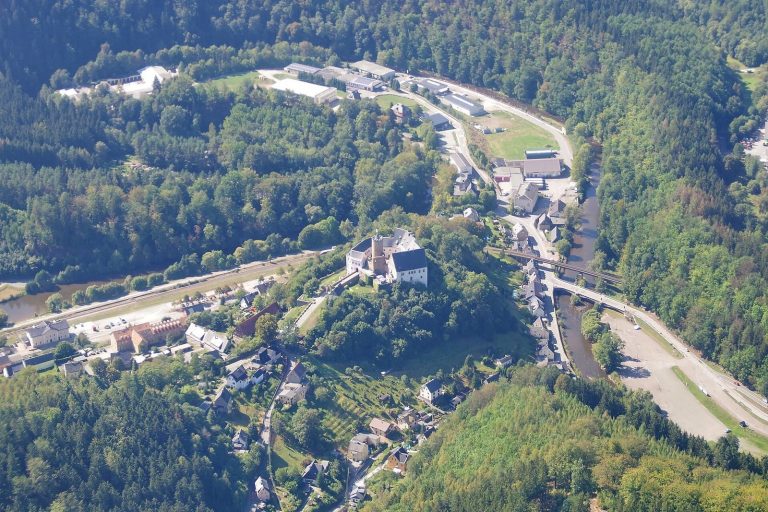
The stone-built castle occupies an area roughly 30 metres in diameter on a prominent gneiss rock spur oriented toward the northeast. Gneiss is a hard, banded metamorphic rock that forms a natural foundation in mountainous terrain. The ruins stand at the eastern end of Niederlauterstein above the left bank of the Schwarze Pockau River.
A ditch once marked the western side of the fortification. It was later levelled when a courtyard was created, reflecting the transformation of the defensive site into a palace-like complex. Additional masonry from buildings and enclosing walls remains alongside the towers.
Surviving towers
The ruins include a round tower about 9 metres in diameter and a square tower measuring 6 by 6 metres. Their masonry forms part of the surviving castle fabric, together with the remains of other buildings and the enclosure walls. The conversion of the complex and the destruction caused by the 1639 fire shaped the form in which the ruins now survive.
A 1629 drawing by Dillich depicts the castle before its destruction. Later views from 1839, around 1845, and around 1898 record the appearance of the ruins during the nineteenth century.