Lattara Archaeological Site: An Ancient Lagoon Port in France
Site at a Glance
- Rating
- 4.5
- Popularity
- Low
- Country
- France
- Primary era
- Classical
- External website
- Open
- Eras represented
- Iron Age, Classical
- Civilizations
- Celtic, Etruscan, Roman
- Site type
- City
On this page22 sections
History
Lattara archaeological site in France preserves an ancient lagoon port at Lattes, founded by local Gallic communities in the late sixth century BCE and shaped by Etruscan trading activity. Operating from the end of the sixth century BCE to the third century CE, Lattara became a major center for exchanging goods, ideas, techniques, and people across the northwestern Mediterranean. Its history belongs chiefly to the protohistoric period, when archaeology provides much of the evidence for societies between prehistory and fully documented history, and to the Roman period that followed.
Early occupation and Etruscan foundation
The earliest identified activity at Lattara dates to the Middle Neolithic. A possible interruption lasted from about 3000 to 800 BCE, after which modest occupation developed during the Late Bronze Age and Early Iron Age. The settlement founded in the sixth century BCE appears to have succeeded several nearby communities, some of which continued outside the new town.
Lattara was established probably during the last third of the sixth century BCE on a raised knoll above the lagoon and the Lez valley. The location occupied a natural position beside the water and may have brought together several previously dispersed settlements. Its foundation coincided with the creation of an Etruscan trading community. Etruscan construction methods, imported pottery, inscriptions, and the town’s rapid urban development indicate that Etruscan sailors and merchants played an important part in its creation and early growth.
Around 475 BCE, the Etruscan sectors were destroyed in an apparently widespread fire. The Etruscan element then left the settlement, which was reorganized and became predominantly indigenous. Lattara nevertheless remained strongly connected with Massalia, the Greek city founded at modern Marseille and a major redistribution center for Mediterranean goods.
A Gallic port in the Mediterranean
From the fifth century BCE onward, Lattara served as a principal Gallic port for goods moving into and out of the Mediterranean. Massalia became its dominant trading partner. Large quantities of Marseille wine reached the town with Massalian tableware and cooking vessels, while other imports came from Greece, Magna Graecia in southern Italy, Iberia, Carthage, Campania, Catalonia, Egypt, and other regions.
The settlement expanded in successive stages. Urban growth took place during the fourth and third centuries BCE, followed by a broader expansion from the second century BCE that eventually brought the built-up area to about 20 hectares. The port remained intensely occupied during the early Roman Empire, even as the Roman town shifted its center northward and the earlier fortification ceased to dominate the settlement.
Lattara’s port environment encouraged specialized work connected with construction and transport. The inscription of Astrapton mentions corporations of fabri, people engaged in building or ship construction, and utric(u)larii, makers of leather containers and rafts. Pile-built pontoons probably supported the transfer of cargoes between vessels and the shore. These activities formed part of a settlement whose economy combined long-distance commerce with local manufacture.
Roman incorporation and changing religious practices
Romanization began in southern Gaul during the second century BCE. The region entered the Roman province of Gallia Narbonensis, which covered much of southern Gaul, from about 125 BCE. Massalia’s control over Lattara ended after the city was defeated by Caesar in 49 BCE. Lattara then became an oppidum latinum, a settlement with Latin civic status within the Roman administrative system, dependent on Nîmes.
Religious practices changed through the town’s history. An early warrior statue may have belonged to a temple or sculptural group connected with an archaic hero cult. During the Late Iron Age, domestic magical and religious practices continued, while public religious architecture appeared during the first century BCE. In the Roman period, shrines were probably dedicated to Priapus, a Greco-Roman fertility deity, and Mercury, the Roman god associated especially with commerce, travel, and exchange.
From the second century BCE, the old enclosure was progressively dismantled as the expanding town required more space. Passages were cut through the former wall, one gate was converted into a water collector, and utilitarian buildings connected with the port used parts of the old fortification. Two seawalls southwest of the town helped contain the lagoon and support further urban extension. By the early first century CE, the former rampart had largely become a landscape remnant while the Roman settlement developed farther north.
Rediscovery and archaeological research
Ancient written references preserved knowledge of Lattara, and historical works of the seventeenth and eighteenth centuries also mentioned the site. Fieldwalking recognized its location in the early twentieth century, but the Saint-Sauveur site was not fully identified until the early 1960s. In autumn 1963, deep plowing brought thousands of archaeological remains to the surface.
Henri Prades, an archaeologist and teacher in Montpellier, carried out two sondages and further investigations through 1964. Later work around the site revealed remains associated with the port. Prades and the Painlevé Archaeological Group concentrated their efforts on a sector preserved as an archaeological reserve, and Prades is regarded as Lattara’s discoverer.
Between 1974 and 1978, the French State acquired land covering part of the ancient town and a nearby building. The Hérault departmental council and the town of Lattes completed the acquisitions. Planned excavation directed by CNRS researchers began on the state-owned area in 1983. Successive triennial programs, first launched in 1986, brought together multidisciplinary and international teams examining the urban framework, streets, stratigraphy, domestic units, construction methods, fortifications, port structures, Roman changes, and the environmental setting. Excavations continued annually.
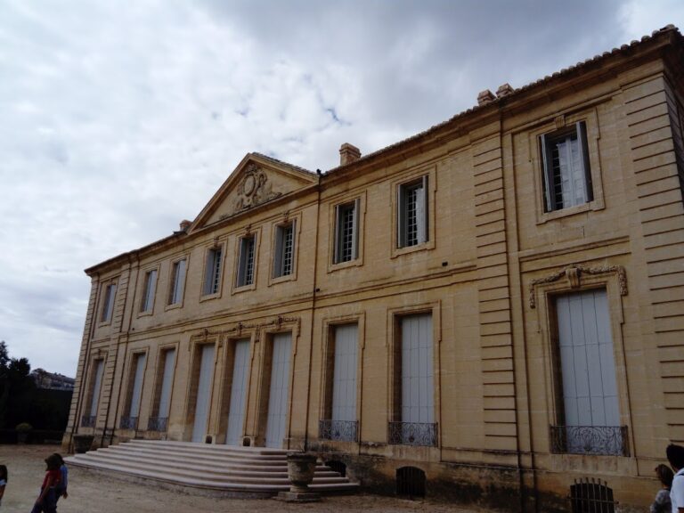
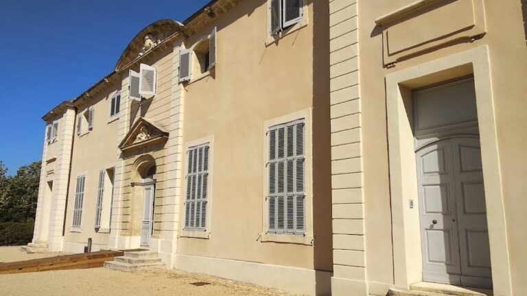
The Henri Prades Archaeological Museum and the Regional Archaeological Documentation Center opened beside the excavation area in 1986. Together with the excavated site, they became a center for research, documentation, exhibitions, and archaeological interpretation. Lattara entered the French register of historic monuments in 2003.
Remains
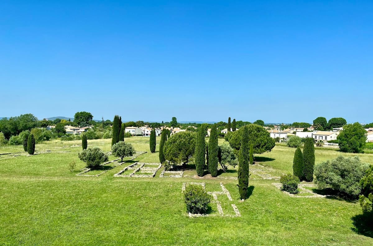
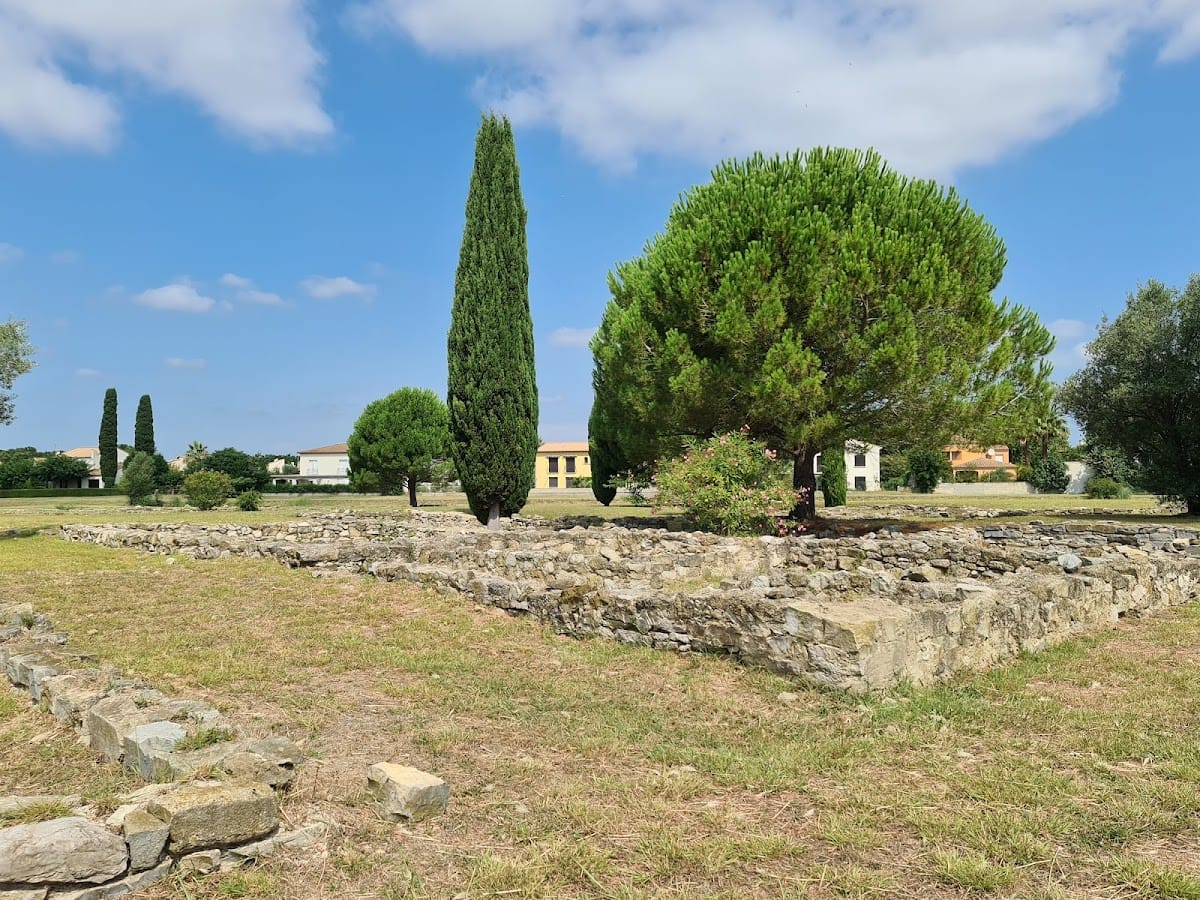
Lattara occupied a raised area beside the lagoon, originally forming a peninsula bordered on the east and west by arms of the Lez. The first settlement was roughly triangular and enclosed about 3.3 hectares within a defensive wall. Later urban growth extended the occupied area to approximately 20 hectares. Surviving remains reveal a town organized around fortifications, streets, housing blocks, port installations, workshops, sacred places, and burial areas.
Fortifications and waterfront
Early rampart and gates
The earliest fortification was built at the end of the sixth century BCE on sand. Its stone walls measured about 2.5 to 3.7 meters in thickness and may have comprised one wall or two or three adjoining walls. Unfired mud-bricks probably increased the height. The archaic enclosure included the large southeast corner tower T1, gate P1, bastion T2, and postern P3, a small secondary gate that linked the shore with the walled town. Northern gate P5 probably provided access toward the inland side. After the destruction of the Etruscan houses around 475 BCE, the rampart received hurried repairs.
Rebuilt enclosure and later reuse
A major reconstruction began around 450 BCE and created a more regular curtain wall, a continuous defensive wall of dressed stone about 2.5 meters thick. Three building campaigns extended over roughly five or six decades. Projecting redans, which are salient sections of a fortification, strengthened the inner face. Gates P1 and P5 remained in use, and a southern ramp provided access to the top of the wall.
During the first half of the third century BCE, approximately 300 to 250 BCE, square towers were built against the inner side of the rampart. The southern fore-wall, an additional wall placed in front of the principal fortification, continued to be maintained and was repaired again in the late second century BCE. Gate P4 was added to connect expanding districts outside the enclosure with the original town. From the second century BCE, breaches and new passages altered the wall, P5 became a water collector, and utilitarian buildings occupied sections of the former defensive line.
Seawalls and port structures
Two seawalls southwest of the town contained lagoon waters and helped make urban extension possible. Port-related buildings outside the enclosure, including storage structures, were mostly Roman in date. Pile-built pontoons formed part of the waterfront and may have supported transshipment, the movement of cargo between different forms of transport. Roman wells and other port structures also survive within the archaeological complex.
Streets and domestic quarters
Roads and open spaces
Streets and open areas organized the protohistoric town from at least the fifth century BCE. The layout combined a triangular central core with an elongated arrangement of housing blocks. Three main streets defined much of the central area and directed circulation, while the town’s north-south movement remained limited. Houses stood in elongated east-west blocks separated by cart paths, drainage alleys, and dead-end streets that met the rampart.
Local pebbles formed much of the street surface. Roads were periodically resurfaced and raised, and they collected and channeled wastewater. Open spaces near the gates probably served as cattle pens and may also have accommodated carts and maneuvers. The blocks followed the road system established around the middle of the fifth century BCE. Single-width and double-width blocks alternated, with some double-width blocks narrowing at their western ends, while internal arrangements changed over time within a generally stable urban framework.
Houses and building materials
Excavated houses generally had square plans. Five principal forms are recognized, consisting of one-room, two-room, three-room, and four-room houses, together with houses arranged around an internal courtyard. One-room houses date from the fourth century BCE to the first century BCE. Two-room and three-room houses were most common from the late fifth century BCE to the mid-second century CE. Four-room and courtyard houses were uncommon and belonged chiefly to about 250 to 150 BCE; some resulted from joining earlier, smaller houses.
Earth, stone, wood, and plant materials such as reeds were used in houses and associated structures. Wall foundations commonly consisted of undressed stone raised several courses, reaching about 50 centimeters above ground level. Upper walls used unfired mud-brick, rammed earth, daub, or mixtures of these techniques. Earthen plaster waterproofed outside walls and finished interior surfaces. Wood served for roof beams, rafters, posts, mezzanines, lean-tos, shelves, fittings, and doorways. Floors could be coated with clay, paved with adobe bricks or pebbles, or decorated with shells.
Household installations
Domestic installations included hearths, ovens, benches, pits, and square stone structures. Many hearths had a foundation layer of potsherds covered by smoothed clay, sometimes with decoration. Examples date from the late fifth to the early third century BCE and were often placed centrally within rooms. Basin-shaped and lenticular hearths also occurred.
Ovens commonly stood in open spaces such as lean-tos and courtyards, where simple shelters protected them. Some ovens, probably used for baking bread or rolls, occupied room corners and consisted of a hearth covered by a clay dome. Benches of packed earth, adobe, or stone were associated with hearths, sleeping or eating spaces, and storage. Pits held ceramic containers for food or water. Square stone installations may have supported meal preparation, milling, food grinding, hide preparation, and other household or craft activities.
Sacred and commemorative remains
Votive shrine and temple fragments
A votive shrine, a small sacred installation where offerings were deposited for a deity, stood in a public square and probably dates to the first century BCE. It consisted of a sculpted pedestal flanked by two posts and enclosed by a rectangular ditch. Coins found in the ditch were probably offerings. Architectural fragments from the first half of the first century BCE, including pieces of columns and carved lintels, may have come from temples.
Roman shrines
A Roman-period shrine probably dedicated to Priapus stood where three streets met and was surrounded by dressed stones. The structure contained a statue base and three phallic representations. A separate structure was dedicated to Mercury, and a bronze statuette of the deity belongs to its associated finds.
Warrior statue
A stone warrior discovered in 2002 had been reused as a doorjamb in a wall dating to the middle of the third century BCE. The sculpture was created around 500 BCE. It represents a kneeling figure with the right leg on the ground and the torso turned slightly to the right. The warrior wears a short skirt, a cardiophylax or metal chest protector, shoulder guards, a crested helmet, a broad belt with a three-hook buckle, and greaves. The equipment combines Iberian, Ibero-Languedocian, Italic, and Etruscan connections. The statue probably belonged to a larger sculptural group, perhaps associated with a temple.
Trade, production, and burials
Imported and local goods
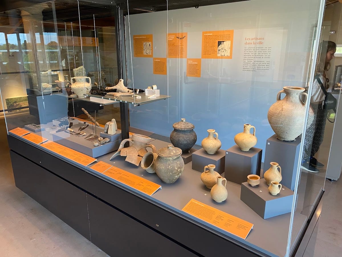
Archaeological finds trace Lattara’s long-distance trade. Etruscan amphorae and tableware dominated the earliest imports, including vessels probably made at Vulci and Caere. Some carry Etruscan inscriptions. Later material includes Massalian wine amphorae, Greek and Magna Graecian vessels, Campanian ceramics, Iberian and Carthaginian products, Catalan wine containers, Egyptian objects, and locally made indigenous pottery.
More than 7,000 coins have been found. Monetary use began in the fourth century BCE, probably in connection with Mediterranean trade. Three caches contained several thousand Massalian silver coins. Local coin issues appeared toward the end of the third century BCE, while regular use of money by Lattara’s inhabitants became established during the last quarter of the second century BCE.
Local production included hand-shaped ceramics, tools, jewelry, and some bronze and iron objects. Wheel-thrown pottery indicates local manufacture, while other remains point to specialized work in wood, hides, and textiles. Botanical evidence includes grape seeds and traces of grape cultivation. A stone grape press dates to the late fifth century BCE, and a vessel from the middle of the fifth century BCE contained several thousand grape seeds. Fig, blackthorn, blackberry, and smaller quantities of olive remains have also been found.
Metalworking areas
The earliest excavated forges date to the fourth century BCE. One rectangular furnace stood outside a neighboring house, with solid earth-and-mud-brick side walls and an earthen mound closing its northern side. A second furnace of similar construction was installed inside a house.
Specialized metalworking workshops appeared in the town center during the late third century BCE. A workshop in block 72, dated to about 100 BCE, contained several forges and hearths, large stone anvils, and amphorae set into the floor. Its successive alterations indicate prolonged use.
Roman cemetery and environmental remains
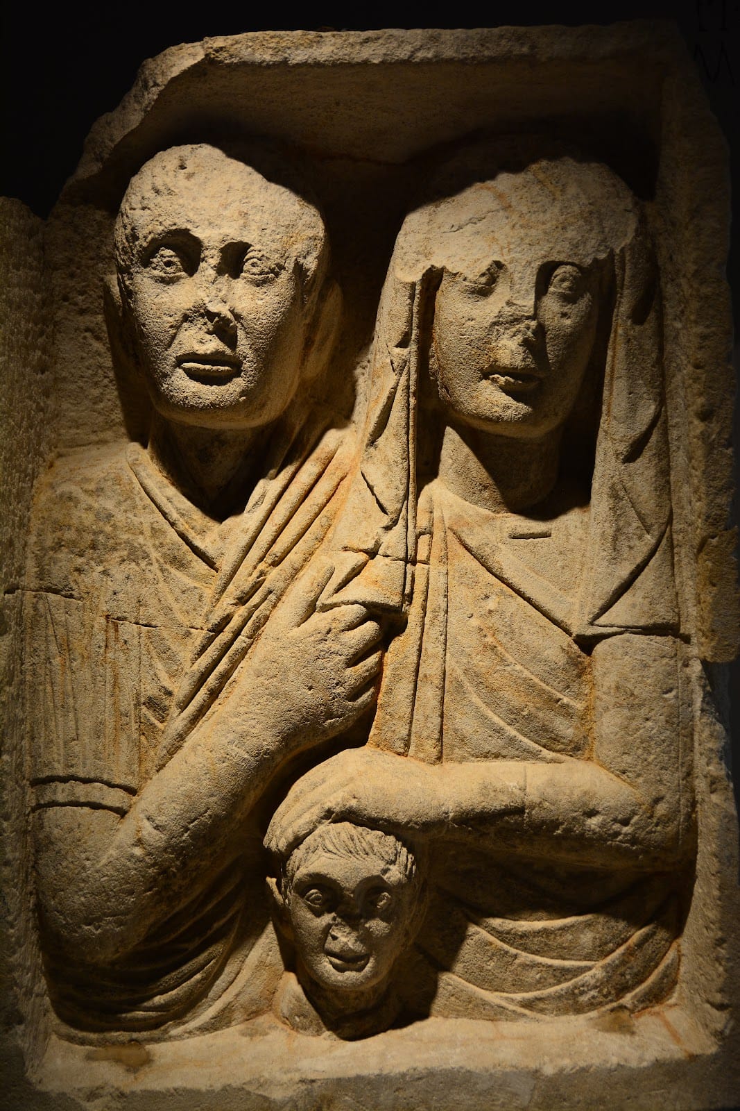
A High Imperial Roman necropolis, belonging to the first and second centuries CE, contained at least 171 burials. Epitaphs and grave goods accompanied the graves. Other remains extend the picture of the Roman settlement and its environment, including a gray whale from the Roman period. The excavated town, its port features, and these associated finds are presented with the Henri Prades Archaeological Museum.