Lahojsk Castle Hill: A Medieval Fortified Settlement and Castle in Belarus
Site at a Glance
- Popularity
- Low
- Country
- Belarus
- Primary era
- Medieval
- Eras represented
- Medieval, Early Modern
- Civilizations
- Grand Duchy of Lithuania
- Site type
- Military
- Remains
- Castle
On this page10 sections
History
Lahojsk Castle Hill is a fortified settlement and castle site in Belarus, with a history extending from the 11th through the 18th century. A Slavic settlement on the Gaina and a military outpost near the turn of the 10th and 11th centuries preceded its first written mention. That late-11th-century reference connects the site with the campaign of Vladimir Monomakh, a prince of Kievan Rus, against the Polotsk principality, a medieval East Slavic state centered on Polotsk. Lahojsk served as the principality’s southern outpost.
Polotsk and Lithuanian rule
In 1127, Mstislav Vladimirovich’s campaign against Polotsk brought looting to Lahojsk. By the 1180s, the town was the center of a principality of its own. It later became part of the Grand Duchy of Lithuania, a major state in eastern Europe, during the 14th century. In 1392, Grand Duke Vytautas ordered the castle’s defenses rebuilt.
Rebuilding and military destruction
In 1505, the Tatar ruler Makhmet-Girey captured Lahojsk after a siege and destroyed the castle. It then fell into neglect. After Vasily Tyszkiewicz acquired the town in 1517, work to restore the castle began, but a Russian attack in 1519 interrupted it. The castle had been restored by 1531. It took part in military operations against Russian forces in 1535 and survived them; records from the latter half of the 16th century again describe Lahojsk as a town with a castle. In 1609, a son of Yuri Tyszkiewicz held the castle.
Russian forces badly damaged it in 1655 during the Russo-Polish War of 1654–1667. Swedish forces then destroyed the castle in May 1708, during the Great Northern War, a conflict fought from 1700 to 1721.
Monastery and palace
In 1765, Stanisław Tyszkiewicz established a monastery of the Basilian Order, an Eastern Christian monastic order following the Rule of Saint Basil, on the ruined castle site. Russian authorities dissolved the monastery in 1834, and its building was demolished in 1841.
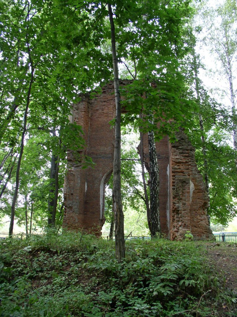
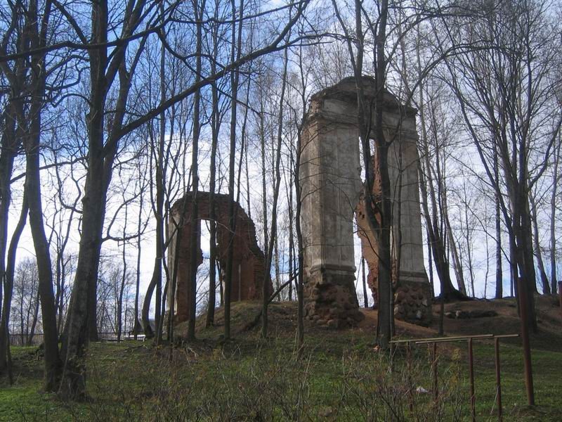
Nearby, Count Pius Tyszkiewicz built a stone palace in 1815 in the Classical style, which drew on forms associated with ancient Greek and Roman architecture. The complex also included a mausoleum and service buildings, while its park incorporated part of the old castle grounds. The palace was destroyed during the Second World War.
Archaeological investigations and protection
Members of the Tyszkiewicz family undertook archaeological work at the site during the 19th century. A museum opened at Lahojsk in 1842, where finds were first displayed. Eustachy Tyszkiewicz published a study of the area’s documentary history in 1847 and assembled archaeological objects; most later entered the Vilnius Museum of Antiquities, where he became curator in 1855. In an 1859 study, Konstanty Tyszkiewicz recorded local accounts that a brick castle had been destroyed and its materials reused in houses.
Archaeologist Georgy Shtykhov led investigations on the hill in 1966, 1968, 1971, and 1980. The site is listed as a Historic-Cultural Value of Belarus, an official heritage designation, under code 613B000232.
Remains
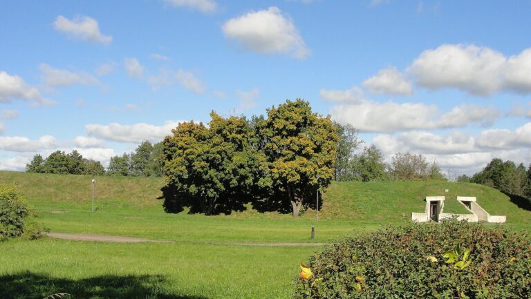
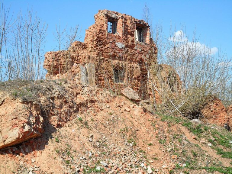
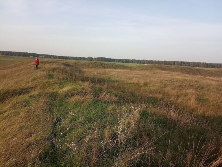
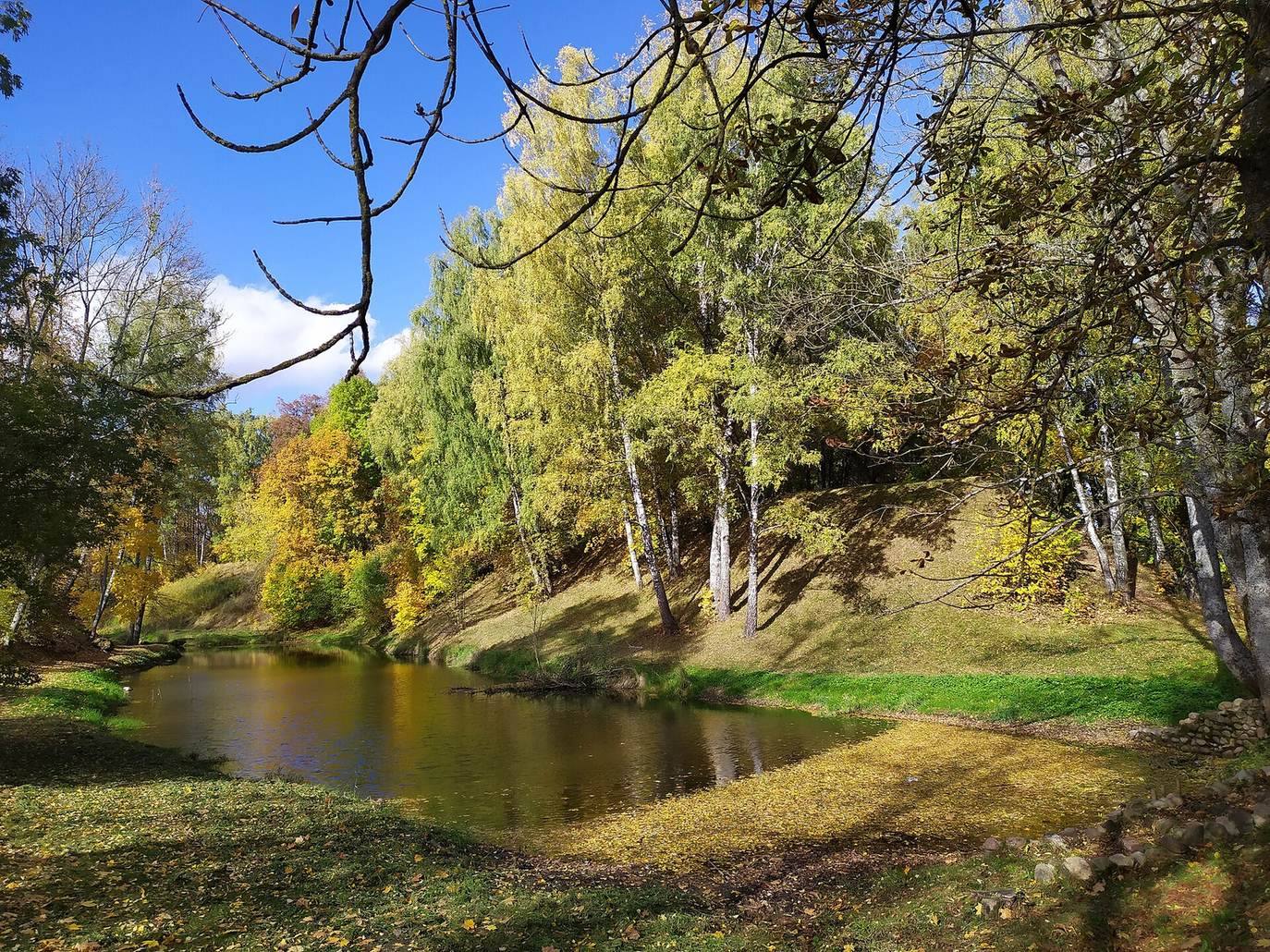
The castle covered 1.5 hectares on the right bank of the Gaina. Its timber-and-stone defenses included a stone main castle and several smaller fortified sites in the surrounding area. Ramparts enclosed the interior on three sides, while the eastern defenses reached the river. The ramparts measure several metres high and 16–18 metres across. Outside them, a moat reached 4–5 metres deep and up to 20 metres wide. A gate on the southern side may have included a drawbridge. The ramparts and moat survive, and water from the Gaina feeds the moat. The hill and its interior now form part of a city park with trees and walking paths.
Excavated layers and finds
The cultural layer is generally 0.8–1.2 metres deep, reaching 1.7 metres in the northeastern part of the excavated area. Archaeologists identified two horizons, distinct layers representing separate phases, divided by sand. Excavations in 1966, 1968, and 1971 covered 420 square metres.
Lower horizon
Finds from the lower horizon include a small pot with linear decoration, dated to the second half of the 10th century, along with pieces of handmade pottery. Numerous fragments of kitchen pots belong to types common in the Polotsk lands from the 11th to 13th centuries. Other objects include iron arrowheads, spurs, a stirrup, lock parts, spring-loaded scissors, a tool for carving spoons, padlock keys, and a scale weight. Fragments of slate spindle whorls, weighted tools for spinning fibers into thread, coloured-glass bracelets, trapezoidal bone combs, and amphorae, large vessels for storing or transporting goods, were also recovered.
Ceramic floor tiles from this layer include a square example measuring 8 by 8 centimetres and 2 centimetres thick. It has a yellow glaze and gravel mixed into the clay. Tiles of this type were used in churches in the Polotsk principality. Shtykhov interpreted the finds as evidence for a church within the castle, probably built of wood.
Upper horizon
The upper horizon yielded fragments of green-glazed vessels and ceramic stove tiles, which were used to face stoves, as well as unglazed pots dated to the 14th–17th centuries. Building materials from the 16th–18th centuries include bricks and green-glazed stove tiles. Cleaning on the inner side of a rampart, at a depth of one metre, uncovered glazed stove-tile and vessel fragments from the 16th–18th centuries alongside pottery of the 12th century. Excavation also revealed a stone foundation belonging to a structure in this upper layer.
Lower-town area and palace remains
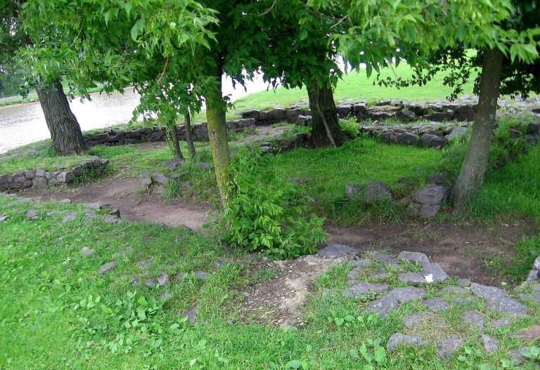
The lower-town settlement adjoined the hill to the south. Later digging heavily disturbed its archaeological layer. Near the hill, fragments of the palace’s foundations and southern wall survive.