Kavousi Kastro: An Early Iron Age Refuge Settlement in Crete
Site at a Glance
- Popularity
- Low
- Country
- Greece
- Primary era
- Iron Age
- Eras represented
- Bronze Age, Iron Age
- Civilizations
- Minoan
- Site type
- Military
On this page4 sections
History
Kavousi Kastro is a defensible refuge settlement in eastern Crete, Greece, about 1.4 km southeast of the modern village of Kavousi. It was founded early in Late Minoan IIIC, a late phase of the Minoan Bronze Age, in the 12th century BCE. Its long sequence of occupation illuminates domestic life, architecture, and social organization before larger Archaic-period urban centers, including nearby Azoria, developed. The local name Kastro means “citadel” or “castle”; the settlement’s ancient name is unknown.
Occupation and abandonment
After its foundation, the settlement remained continuously occupied through the Protogeometric period of the 10th century BCE, the Geometric period of the 9th and 8th centuries, and the Orientalizing period of the 7th century. These were successive phases of the Early Iron Age. Kavousi Kastro was abandoned by the middle of the 7th century BCE.
Archaeological investigation
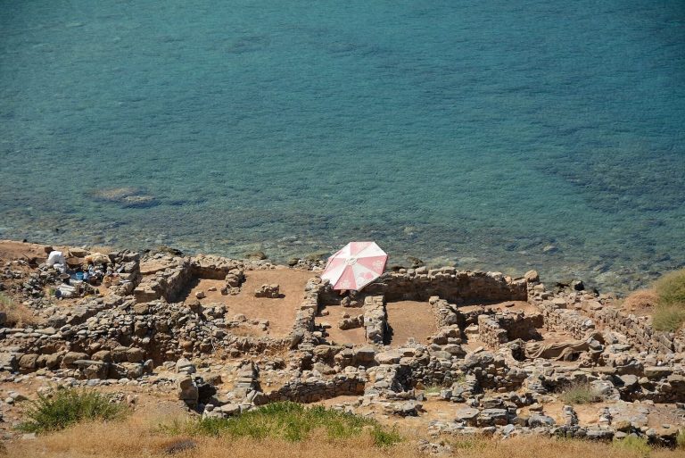
American archaeologist Harriet Boyd Hawes briefly investigated the site in 1900. In 1982, the Kavousi Project cleared it in preparation for balloon photography, and a survey the following year showed that the settlement extended farther than previously understood. Directed by Geraldine C. Gesell, Leslie Preston Day, and William D. E. Coulson, the project carried out full excavations at Kavousi Kastro and nearby Kavousi Vronda in 1987-1990 and again in 1992. Conservation work followed from 1993 to 1996, while study continued from 1990 to 2003.
Selected antiquities from Kavousi Kastro are displayed at the Archaeological Museum of Agios Nikolaos and the Archaeological Collection of Ierapetra. Other artifacts and project records, including excavation notebooks, drawings, and plans, are held at the Institute for Aegean Prehistory Study Center for East Crete in Pacheia Ammos.
Remains
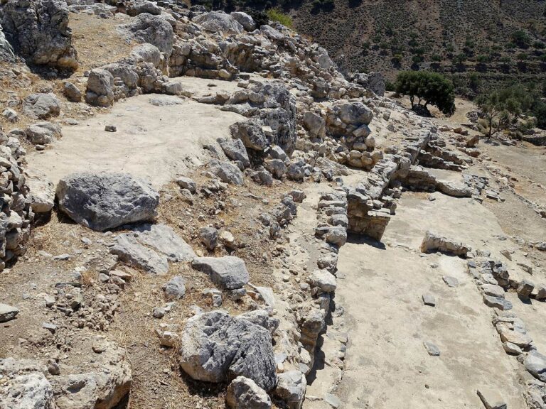
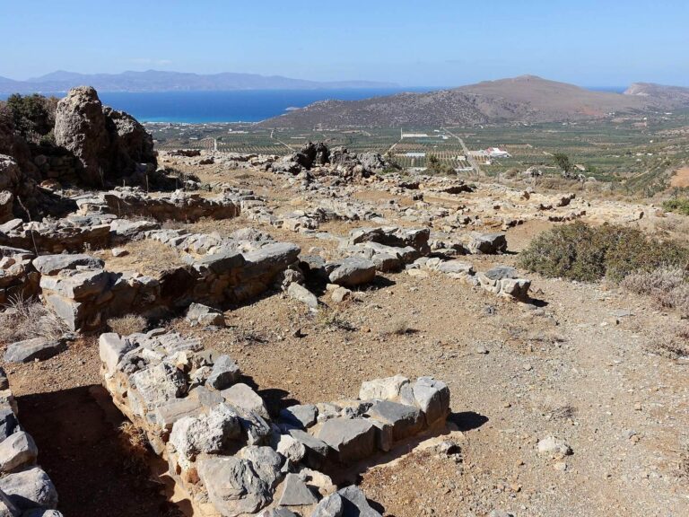
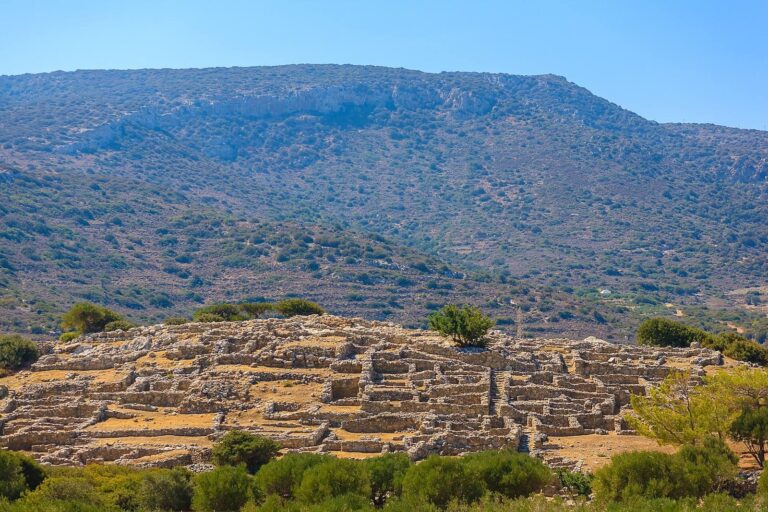
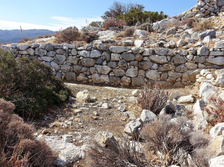
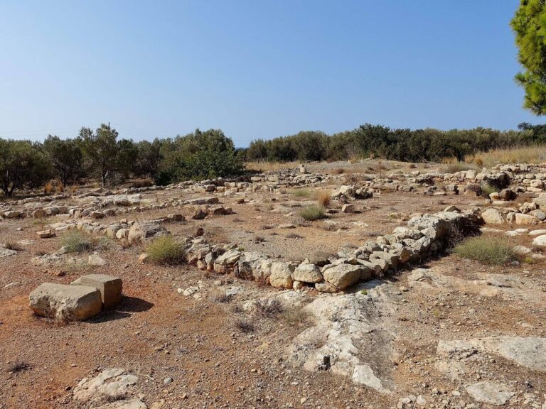
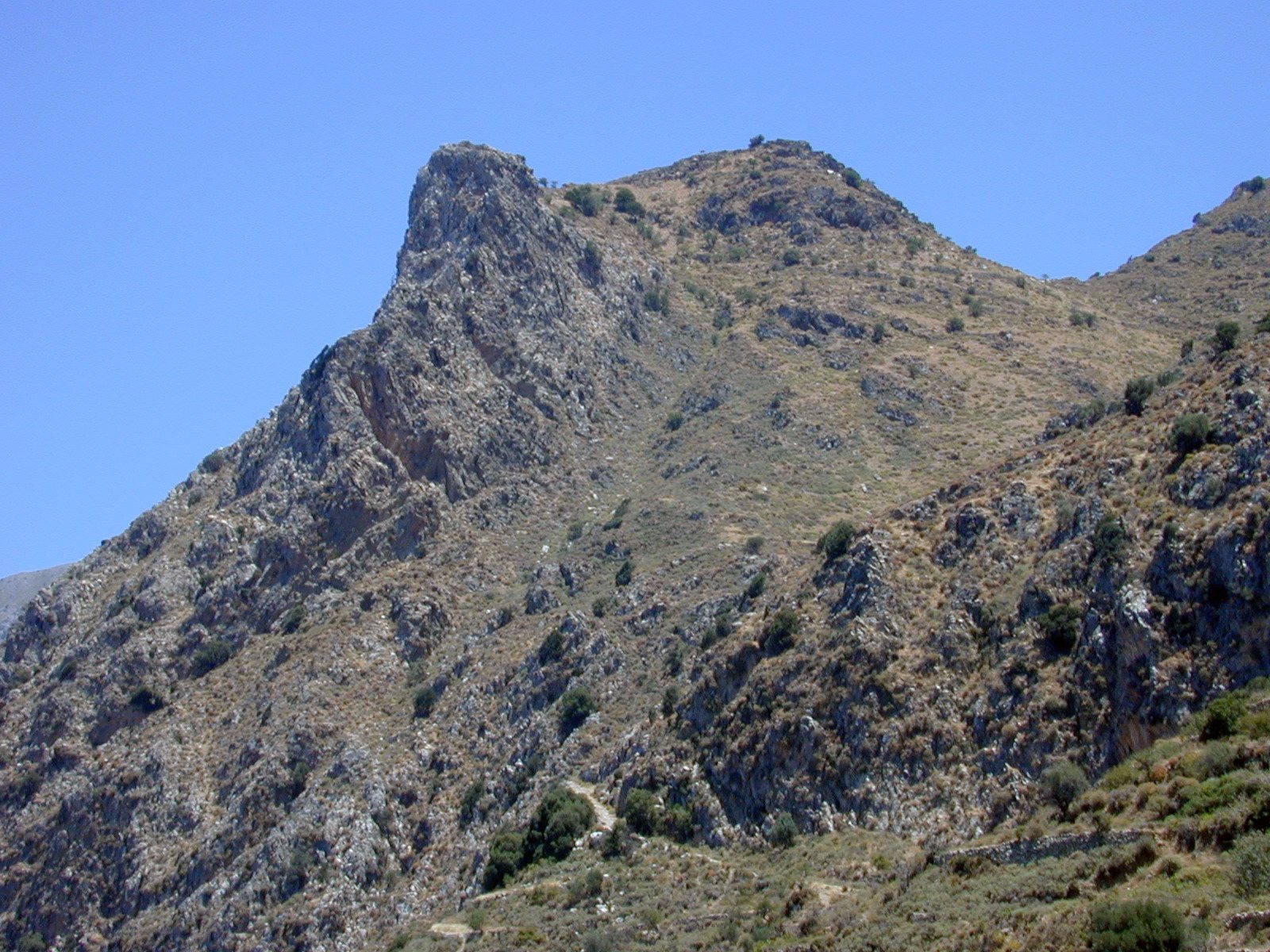
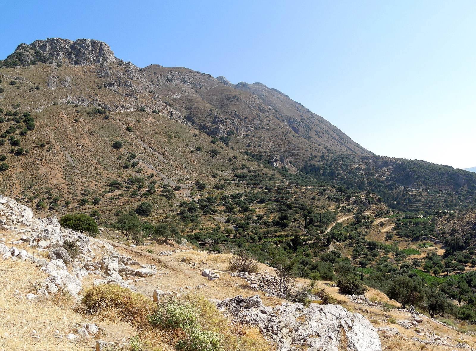
The settlement occupies a steep, rocky peak at 713 m above sea level in the northern foothills of the Thripti Mountains. From this position, it overlooks the Gulf of Mirabello and the northern Isthmus of Ierapetra. The excavated sequence includes building remains, floor surfaces, layers of fill, and ceramic deposits. Most of the architecture visible today belongs to the Late Geometric and Early Orientalizing phases of the 8th and 7th centuries BCE.
The 13 rooms uncovered in 1900 were initially interpreted as a single early chieftain’s house. They are now understood as parts of several separate house complexes spread across the settlement’s terraces. Kavousi Vronda is a distinct settlement of the same period, situated lower down the slope of the same mountain.