Castle Ambroos: A Water Castle in Zemst, Belgium
Site at a Glance
- Rating
- 5
- Popularity
- Very Low
- Country
- Belgium
- Primary era
- Early Modern
- Eras represented
- Medieval, Early Modern, Modern
- Civilizations
- Belgian, Duchy of Brabant, French, Habsburg, Holy Roman Empire
- Site type
- Domestic
- Remains
- Castle
On this page11 sections
History
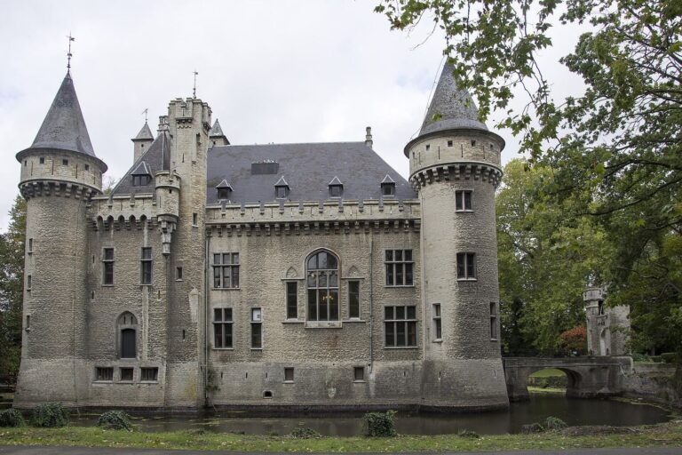
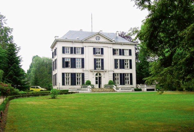
Castle Ambroos is a water castle, a castle protected by surrounding water, in Hofstade, within the municipality of Zemst, Belgium. A castle stood on the estate by the seventeenth century, and its later transformation gave it a neoclassical appearance, drawing on ancient Greek and Roman forms. The estate served as a country residence and retirement house for the Jesuits of Mechelen, members of the Catholic Society of Jesus.
Medieval estate and Jesuit residence
In the Middle Ages, the estate depended on Planckendael, a historic estate in the Mechelen area. From 1621, the Jesuits owned the property and used it as a rural residence and place of retirement.
Private ownership and enlargement
After the Society of Jesus was dissolved in 1773, Constantin Joseph van den Nieuwenhuysen, a wealthy hat manufacturer from Mechelen, acquired the estate in 1777. The castle was transformed during the second half of the eighteenth century, and a landscape park was laid out around 1800. By about 1830, the former Jesuit property belonged to Joseph van den Nieuwenhuysen.
In 1845, Joseph-Joachim Poot, a resident of Brussels, bought the estate. It covered about 32 hectares, including its farm, avenues, and surrounding land, and the castle was enlarged.
Subdivision and restoration
Property developers acquired the estate in 1941. In 1965, more than three hectares were sold to industrialist Albert Van Ussel; the remaining land, including the farmyard, was divided for villa construction. The castle was restored between 1966 and 1971.
Remains
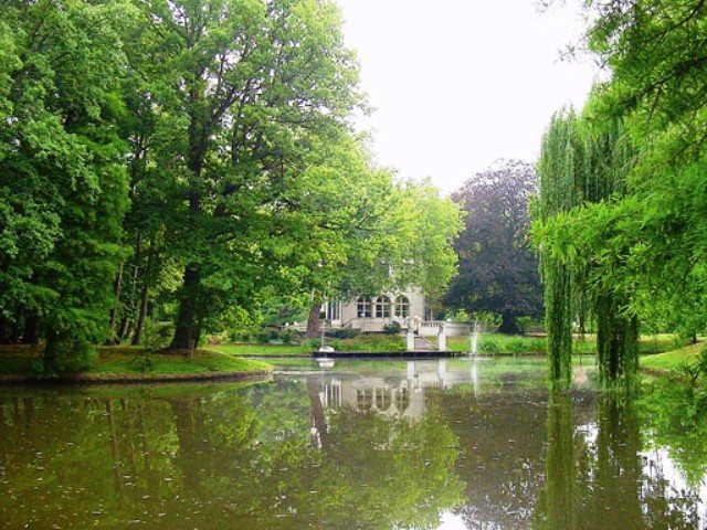
The site combines a neoclassical castle with an inner moat around its island, a larger outer water boundary, landscaped grounds, and a former farm complex. The park and farm occupied parts of a larger estate shaped by these waterways.
Castle and water defenses
Castle
The castle has a neoclassical exterior. Its cellars contain remains of an earlier Gothic core, a medieval European building form.
Moats
An inner moat enclosed the castle island, which covered about half a hectare, and ran beside a road. A second moat surrounded a rectangular area of nearly four hectares.
Park and farm
Landscape park
The landscape park originally covered about four hectares and included two water features that incorporated remnants of former moats and ring ditches, or circular ditches. Its symmetrical arrangement was unusual for an English landscape garden, a design intended to suggest natural scenery rather than formal geometry. A cadastral plan, a map of land parcels and property boundaries, made around 1820 shows an outer perimeter ditch around a pleasure garden of nearly three hectares.
Farm and entrance
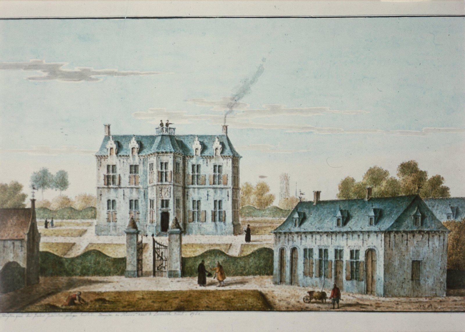
The farm stood to the right of the entrance, which was reached through the southern arm of the outer moat. Its agricultural buildings formed a U-shaped group of three separate structures: stables, a barn, and a shed. A pen-and-watercolor drawing by Jan-Baptist De Noter, made in the first half of the nineteenth century, is thought to reproduce an unidentified image from 1760. The drawing differs in some respects from the Ferraris map. On a cadastral map, the building depicted by De Noter can be recognized by its projecting entrance bay.