Jeitun: A Neolithic Settlement in Turkmenistan
Site at a Glance
- Rating
- 5
- Popularity
- Very Low
- Country
- Turkmenistan
- Primary era
- Stone Age
- Eras represented
- Stone Age
- Civilizations
- Unclassified
- Site type
- Domestic
- Remains
- House
On this page12 sections
History
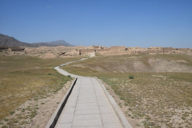
Jeitun is a Neolithic archaeological settlement in Turkmenistan, about 30 kilometers north to northwest of Ashgabat, built by communities of the Jeitun culture between about 7200 and 4500 BC. The Neolithic was a prehistoric period associated here with settled communities, cultivation, animal domestication, stone tools, and pottery. Jeitun occupied the foothills of the Kopet Dag, the mountain range along the southern edge of the Kara-Kum, and may preserve the earliest evidence of arable or dry-farming agriculture in Central Asia.
The emergence of the Jeitun culture
Jeitun was occupied for much of the period from about 7200 to 4500 BC, perhaps with brief interruptions. Its inhabitants lived by food production, cultivating barley in two- and six-row varieties and growing einkorn and a soft-wheat variety. They kept sheep and goats, hunted to supplement their diet, and added cattle during the later stage of the culture.
The origins of this economy point to connections beyond the settlement. Wild einkorn and barley suitable for local domestication were not present in the region, which suggests that these crops, and probably sheep, arrived already domesticated. The wild goat Capra aegagrus was widespread in Central Asia and may instead have been domesticated locally.
Jeitun gave its name to a wider Neolithic tradition distributed across southern Turkmenistan and northeastern Iran. About twenty settlements are attributed to this culture, extending west toward Shahrud and east toward the Tedjen River, with sites on both sides of the Kopet Dag. Similar material from Sang-i Chakmak, an early settlement with related artifacts, suggests that the cultural tradition may have begun before 7000 BC. Yarim Tepe and Tureng Tepe on the Gorgan Plain are also associated with this early agricultural horizon.
Regional connections and later development
Early Jeitun clay figurines, decorated pottery, and small stone axes resemble material from early farming settlements in the Zagros Mountains, including Jarmo in Iraq. These similarities may reflect the movement of Neolithic populations from the Levant into Central Asia through the Zagros. Possible later Jeitun influence extended south across the Kopet Dag toward settlements in Kermanshah and Luristan, including Tepe Guran, Tepe Sarab, and Ganj Dareh.
In Turkmenistan, the Jeitun period was followed by the Anau culture. Interaction with an Anau IA-type culture around 5000 BC is also associated with the emergence of Namazga I, a later prehistoric cultural phase in southern Central Asia. Jeitun therefore belongs to a sequence of regional developments linking early village life with later prehistoric traditions.
Discovery and archaeological interpretation
Alexander Marushchenko discovered Jeitun in the 1940s. Excavations began in the 1950s under Boris Kuftin and Vadim Masson, and investigations at Jeitun and nearby settlements such as Chopan-depe and Chagilli-depe helped establish the principal phases of the Jeitun culture.
The settlement is important for examining the transition to settled, food-producing life in a mountain-edge environment beside the desert. The distribution of artifacts indicates that production and consumption were organized mainly at household level. The settlement provides little archaeological evidence for craft specialization or for a higher level of social organization.
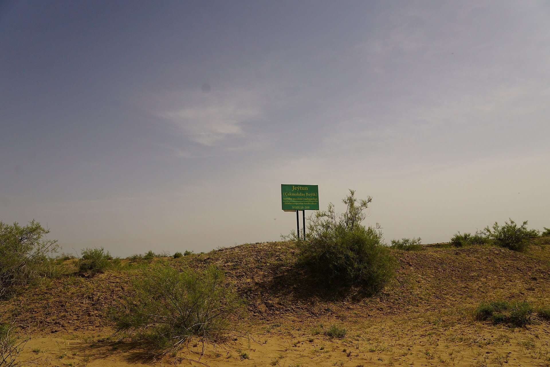
Jeitun is traditionally linked with the local name “Flint Hill,” a reference to flint blades emerging from the sand. The name Jeitun originally referred to a nearby water-collection feature before being applied to the settlement and then to the wider archaeological culture. The site is a tell, a settlement mound created by successive building and occupation layers. Local terms equivalent to tepe or depe describe this type of mound.
Remains
Mound and occupation layers
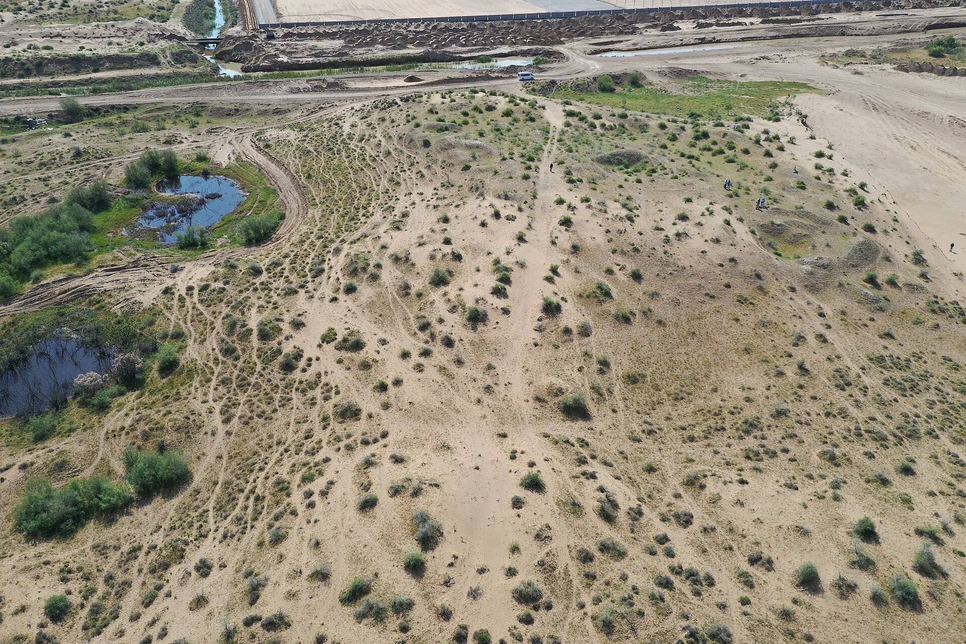
Jeitun covered approximately 5,000 square meters on a natural dune or rise about 120 meters from east to west and 60 meters from north to south. The original mound stood roughly 3 to 3.5 meters above the surrounding ground, while accumulated settlement debris and later wind-blown sand added about another 2 meters. Desert vegetation covered the summit. The top sloped gently southward, and the inhabitants only partly levelled the natural unevenness. Heavy erosion along the western edge removed some archaeological remains.
Investigations identified five building horizons. A more detailed excavation division distinguishes an upper, later Layer I from a lower, earlier Layer II. Wind erosion removed much of Layer I, while Layer II generally survived beneath a raised surface. Sloping ground made it difficult to establish the relationship between occupation floors in some parts of the mound.
Earlier houses
The earliest occupation began on the southern side of the mound and soon spread to the summit. Layer II contained about thirty houses and probably supported approximately 150 to 180 people. The buildings followed the natural contours of the ground, leaving some floors noticeably sloping. Their survival beneath the raised surface accounts in part for the clearer understanding of this earlier occupation.
Later occupation
Only seven houses can be securely identified in Layer I, so its arrangement is less clearly understood. Builders generally levelled the ground and constructed new buildings, although some wall sections from Layer II were reused. Across the settlement, the houses are described as accommodating about 150 to 200 people.
Houses and domestic spaces
Residential buildings
The houses followed a broadly uniform plan. Most were rectangular or nearly square, with a single main room connected to a courtyard. A large hearth stood beside the wall at right angles to the entrance. On the opposite wall, a projecting structure formed or divided a space resembling two niches. Interior floors covered about 13 to 39 square meters, with most measuring approximately 20 to 30 square meters.
Builders levelled the floors with imported sand and finished them with a thin coating of lime plaster or lime mortar. Walls were made from sun-dried clay blocks with oval or cylindrical sections. The blocks measured about 20 to 25 centimeters thick and 60 to 70 centimeters long. Coarse temper or finely chopped straw strengthened the clay, and thin clay mortar was poured between the blocks. Similar plaster, containing some coarse temper, covered the completed walls.
Courtyards and economic rooms
Each house was accompanied by several smaller economic rooms, including grain-storage facilities, and by an enclosed yard. These secondary buildings and yard walls were rebuilt repeatedly because they had shorter use-lives than the houses. As a result, residential floors could stand somewhat lower than the adjoining courtyards and economic rooms. This arrangement combines living, storage, and other household activities within the individual domestic compounds.
Tools, pottery, and figurines
Excavations recovered stone hand mills and other stone tools, as well as wooden or bone knives and sickles fitted with stone blades for harvesting. The assemblage also included decorated pottery, clay figurines, small stone axes, flint blades, and waste from manufacturing. Excavators recorded individual findspots and grouped the objects by function, including tools and production waste, mainly ceramic household items, and decorative or ritual objects.
Organic materials such as wood, woven material, and textiles generally did not survive at the settlement. Impressions of matting were preserved on some floors at nearby sites. Valuable objects may have been removed when Jeitun was abandoned or during later visits, while the surviving finds continue to provide evidence for farming, household production, and the material culture of the settlement.