Hůrka: An Early Medieval Hillfort in Czechia
Site at a Glance
- Popularity
- Medium
- Country
- Czechia
- Primary era
- Medieval
- Eras represented
- Medieval
- Civilizations
- Duchy of Bohemia, Holy Roman Empire
- Site type
- Military
- Remains
- Citadel
On this page14 sections
History
Early hillfort
Hůrka was an early medieval hillfort near Starý Plzenec in Czechia, established no later than the tenth century. Originally called Plzeň, it stood beside a route linking Bohemia with Regensburg and Nuremberg, major centers of the Holy Roman Empire. The stronghold also served at times as a residence for princes and kings in western Bohemia.
Its first written mention appears in Thietmar’s Chronicle, a medieval historical work, in connection with a Bavarian army’s defeat below Plzeň in 976. The battle took place during hostilities between Otto II, Holy Roman emperor, and Boleslav II, a Bohemian prince. After 1010, a mint at the hillfort briefly issued denarii, medieval silver coins, for Prince Jaromír.
Decline and renaming
Hůrka held greatest importance in the twelfth century and the first half of the thirteenth. Its position weakened from the latter half of the thirteenth century as the settlement center moved to the area of present-day Plzeň. The promontory did not suit the development of a high medieval town, and a newly founded town took the name Plzeň. The former hillfort became known as Stará Plzeň and was abandoned during the fourteenth century.
The hillfort and the Rotunda of Saints Peter and Paul are protected as cultural monuments. In 1978, the site was designated a national cultural monument.
Remains
Fortifications and layout
The hillfort occupies a prominent spur of Hůrka, north of Starý Plzenec on the right bank of the Úslava River. Its surviving defenses enclose 4.1 hectares, although the original fortified area was probably larger. The summit plateau extends from west to east and is reached over level ground from the east. The layout included an eastern outer bailey, a subsidiary enclosure beyond the main stronghold, an acropolis, the elevated inner part of the settlement, and a lower outer bailey to the west.
Eastern outer bailey
The eastern enclosure was probably protected by a palisade or another light barrier. Its position formed the outer part of the hillfort’s defenses.
Acropolis and eastern rampart
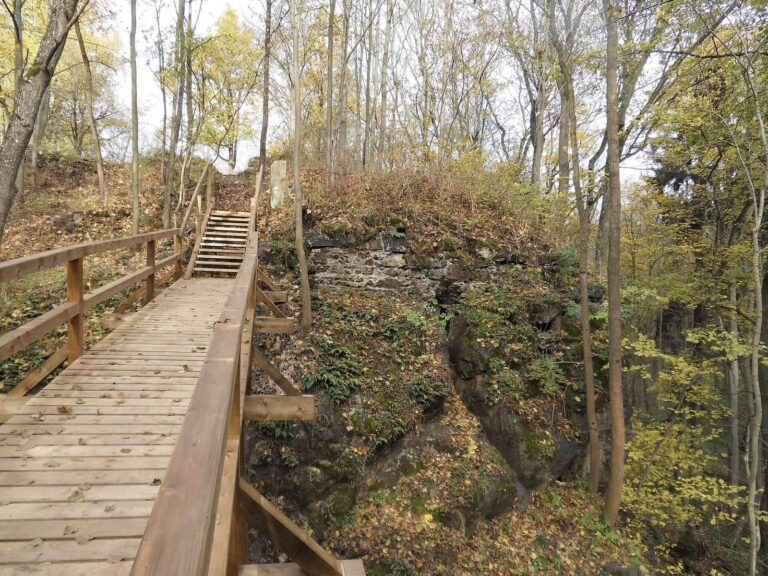
A wall defended the eastern side of the acropolis, where a massive rampart still rises almost ten metres. The original defense combined a stone front with a lattice framework filled with earth. A residence for a castellan, an official responsible for the fortified site, or a prince also stood in this inner area.
Western outer bailey
A wall divided the lower outer bailey from the acropolis to its east. It survives as a rampart two to three metres high.
Western gate and approach
A route began near the rotunda and ran down the rear of the spur toward the settlement on the Úslava riverbank, where the western gate once stood. A surviving rampart fragment at this point rises more than fifteen metres when the natural height of the ground is included.
Churches and riverbank settlement
Church of the Holy Cross
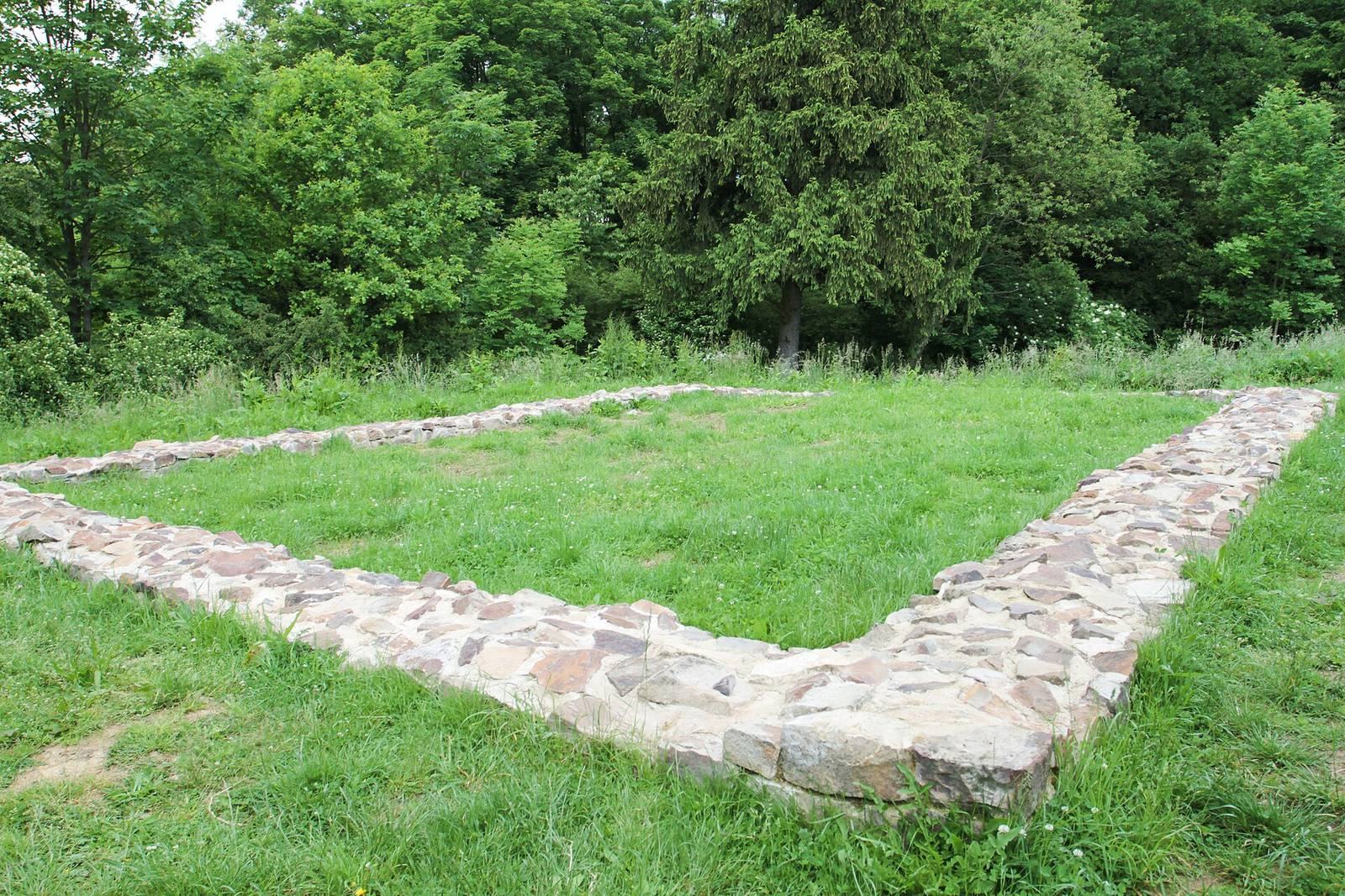
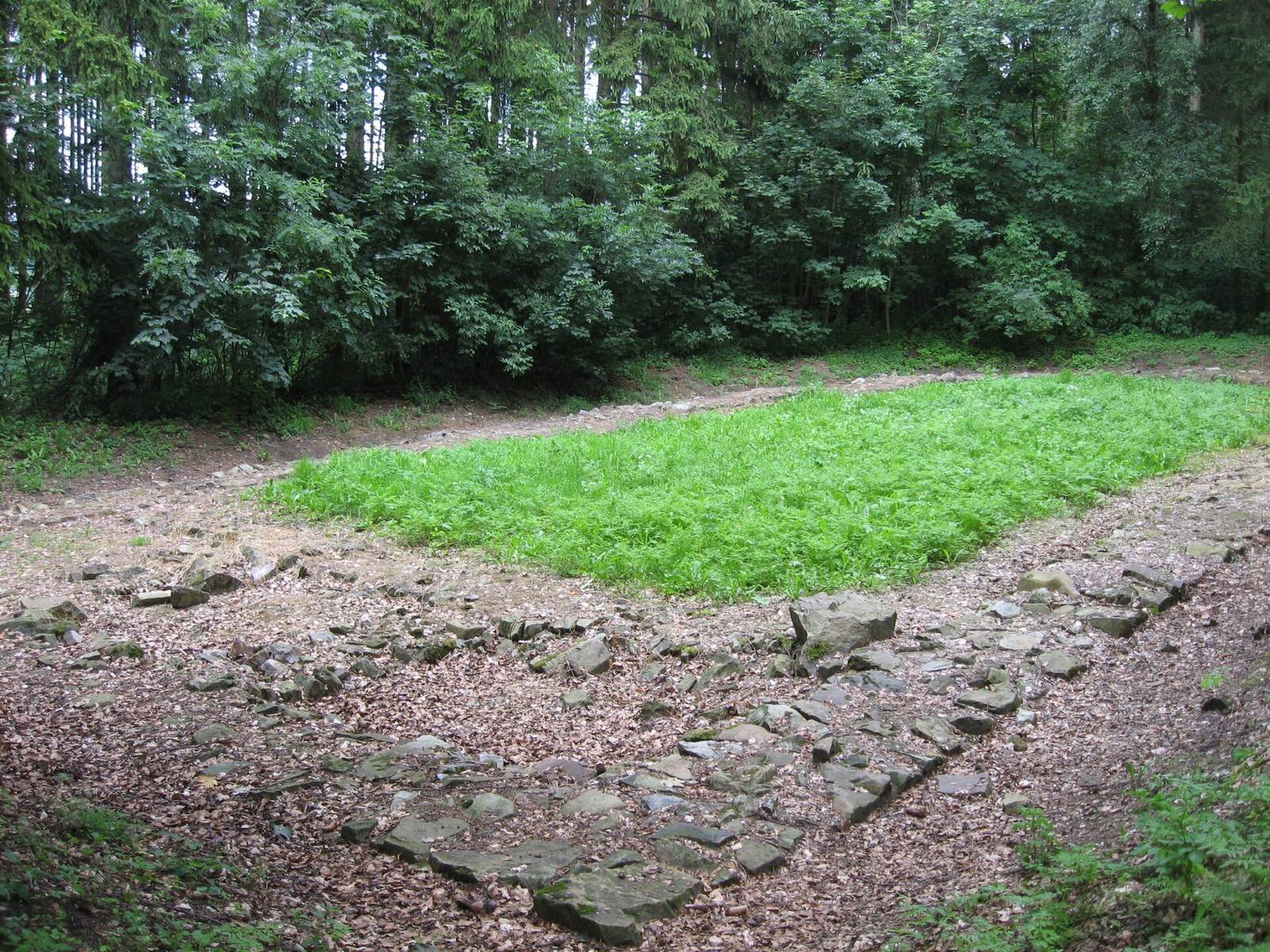
Archaeological investigation uncovered the foundations of the Church of the Holy Cross in the eastern outer bailey. The church dates to the twelfth century.
Church of St Lawrence
The Church of St Lawrence, on the acropolis, dates to the second half of the eleventh century. Excavated foundations there belong to a later, smaller Gothic building.
Rotunda of Saints Peter and Paul
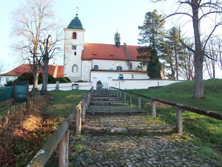
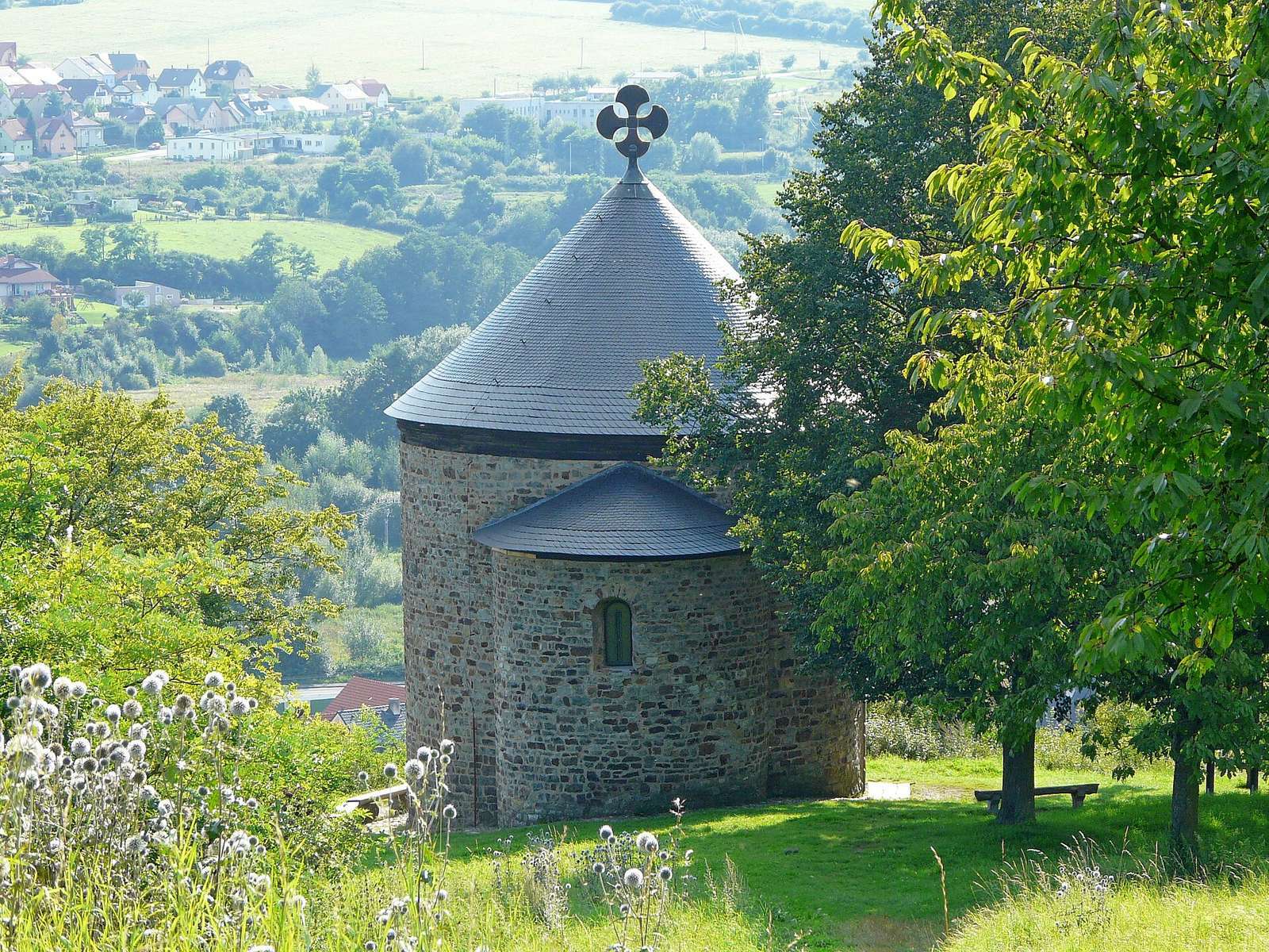
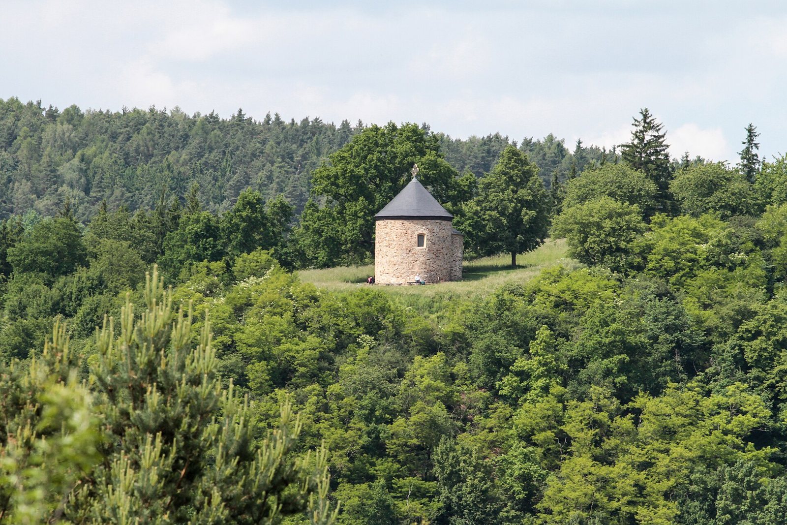
The rotunda is the sole surviving building from the hillfort’s period of occupation. Its construction is traditionally placed in the tenth century, although it may be later. Repeated alterations and rebuilding have shaped its present form.
Settlement below the hillfort
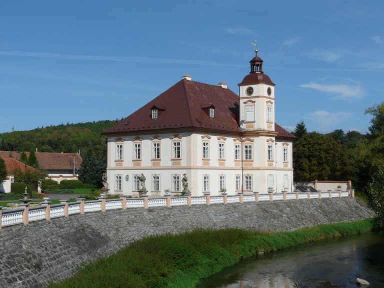
The settlement extended along both banks of the Úslava, joined by a ford. It originally contained five churches. The Church of the Nativity of St John the Baptist and the Church of the Nativity of the Virgin Mary survive.