Huaycán de Pariachi: An Administrative and Religious Center in Peru
Site at a Glance
- Rating
- 4.2
- Popularity
- Low
- Country
- Peru
- Primary era
- Medieval
- Eras represented
- Medieval, Early Modern
- Civilizations
- Inca
- Site type
- City
On this page12 sections
History
Huaycán de Pariachi is an archaeological settlement and administrative-religious center in Lima, Peru, built and developed in the middle Rímac Valley around AD 1000. It stands south of the Rímac River, near Uncatupi Caparicaya Hill and the Andean foothills, in the Yunga ecological region at approximately 550 meters above sea level. The settlement served as one of the principal administrative centers of the valley before the Spanish conquest.
Ychma and Inca occupation
The site may have earlier origins in the Preceramic Period, but investigations have confirmed occupations by the Ychma during the Late Intermediate Period and by the Incas during the Late Horizon. The Ychma, a pre-Inca culture of Peru’s central coast, maintained an important presence at Huaycán de Pariachi from approximately AD 900 to 1450. During the Late Horizon, the period of Inca expansion that ended with the Spanish conquest, the Incas incorporated Ychma territory into their empire between approximately AD 1450 and 1532.
The settlement is identified with the ancient population, or llaqta, of Pariacha. The name is associated with the Huarochirí Manuscript, while the community’s religious traditions included the deities Pariaqaqa and Chaupiñamca, figures connected with the central Andes.
Abandonment and archaeological work
Huaycán de Pariachi was abandoned around 1600. Near the end of the pre-Hispanic period and during the transition to colonial rule, some structures outside the restored Palace may have been used for funerary purposes.
Julio C. Tello visited the site around 1943. Around 1970, Arturo Jiménez Borja directed restoration and conservation work on the Palace. Archaeological surveys requested by the Huaycán Urban Self-Managed Community in 1985 helped define the legally protected archaeological area. In 2015, Peru’s Ministry of Culture carried out an Archaeological Research and Public Investment Project directed by María Fe Córdova and Alcides Álvarez Vera.
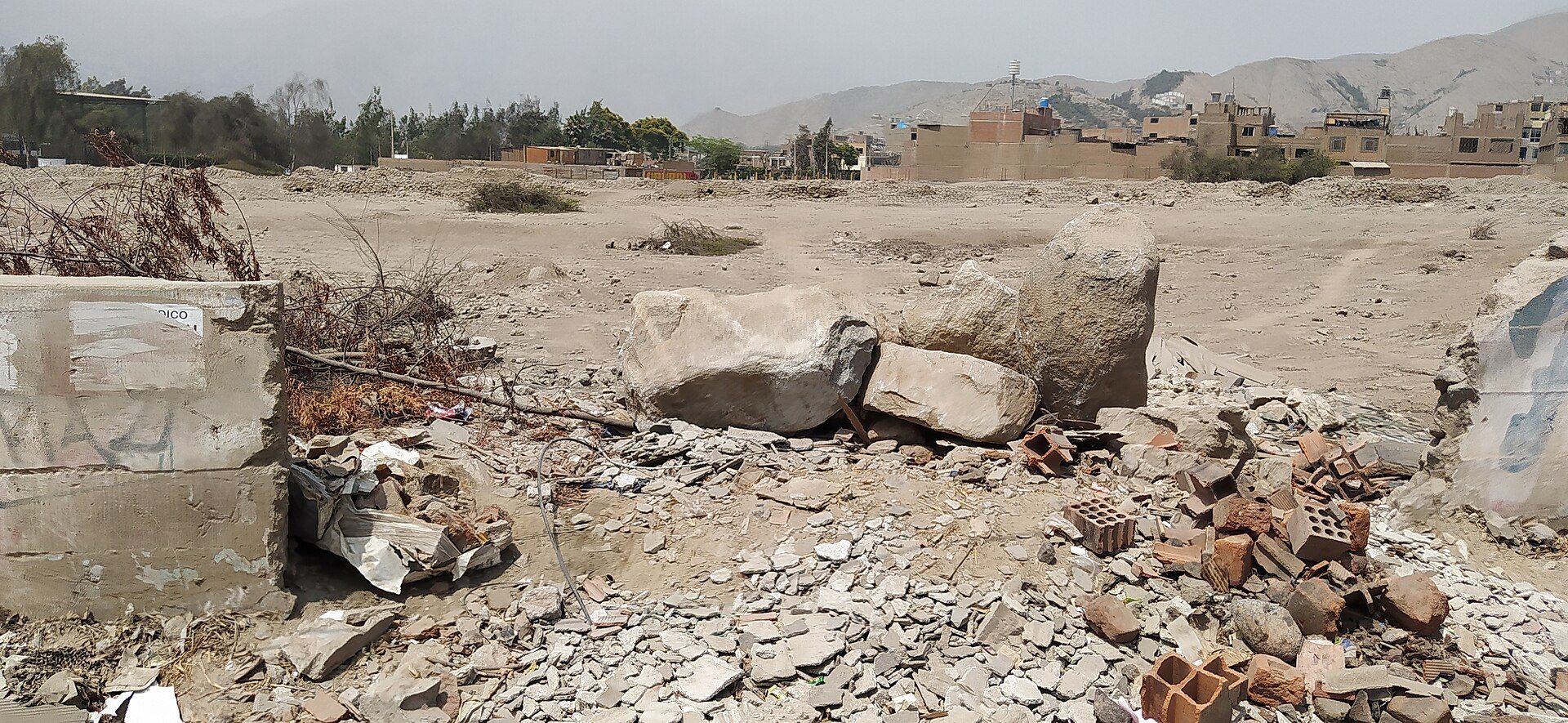
Huaycán de Pariachi was declared Cultural Heritage of the Nation on October 10, 2000, through National Directorial Resolution No. 1189. Its conservation condition is regular. Encroachment has affected Sector 1, and the area known as the stadium sector has been used without authorization for dumping construction debris and waste. A conservation project interrupted by the COVID-19 pandemic was intended to repair damaged architectural elements, improve interpretation and circulation, and provide a perimeter enclosure for security.
Remains
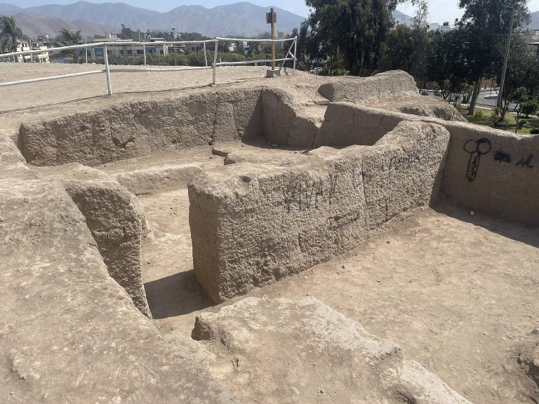
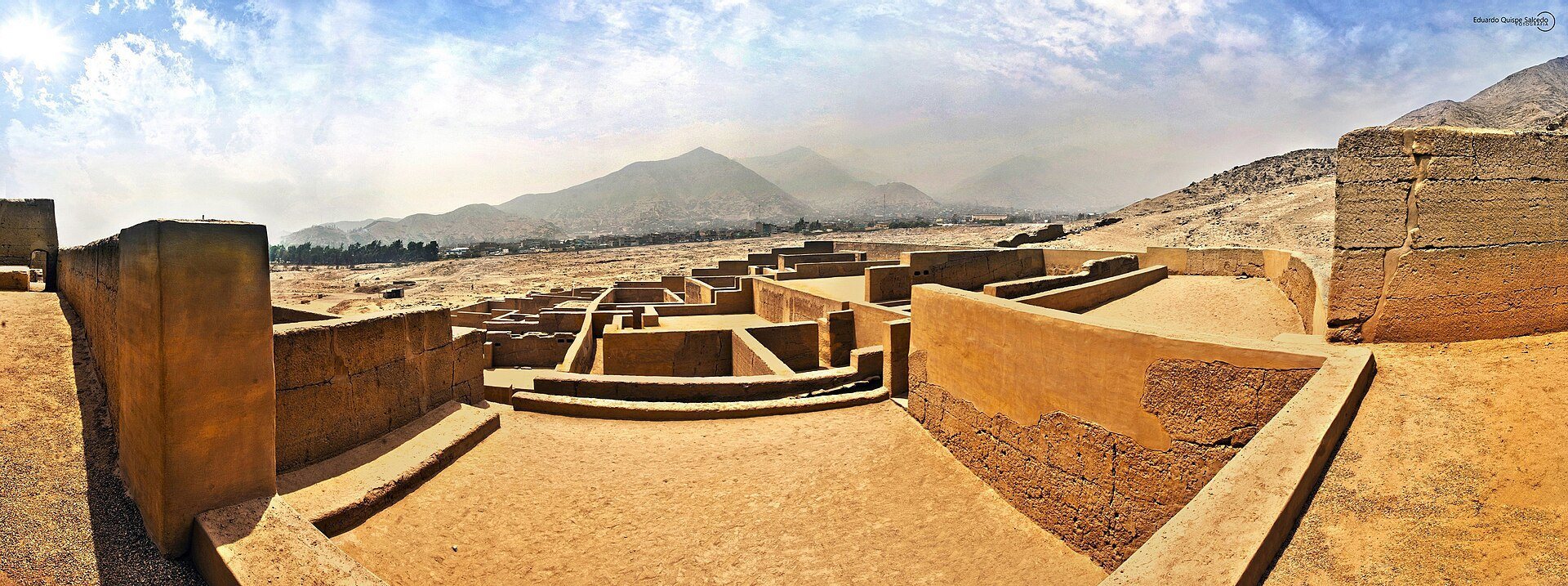
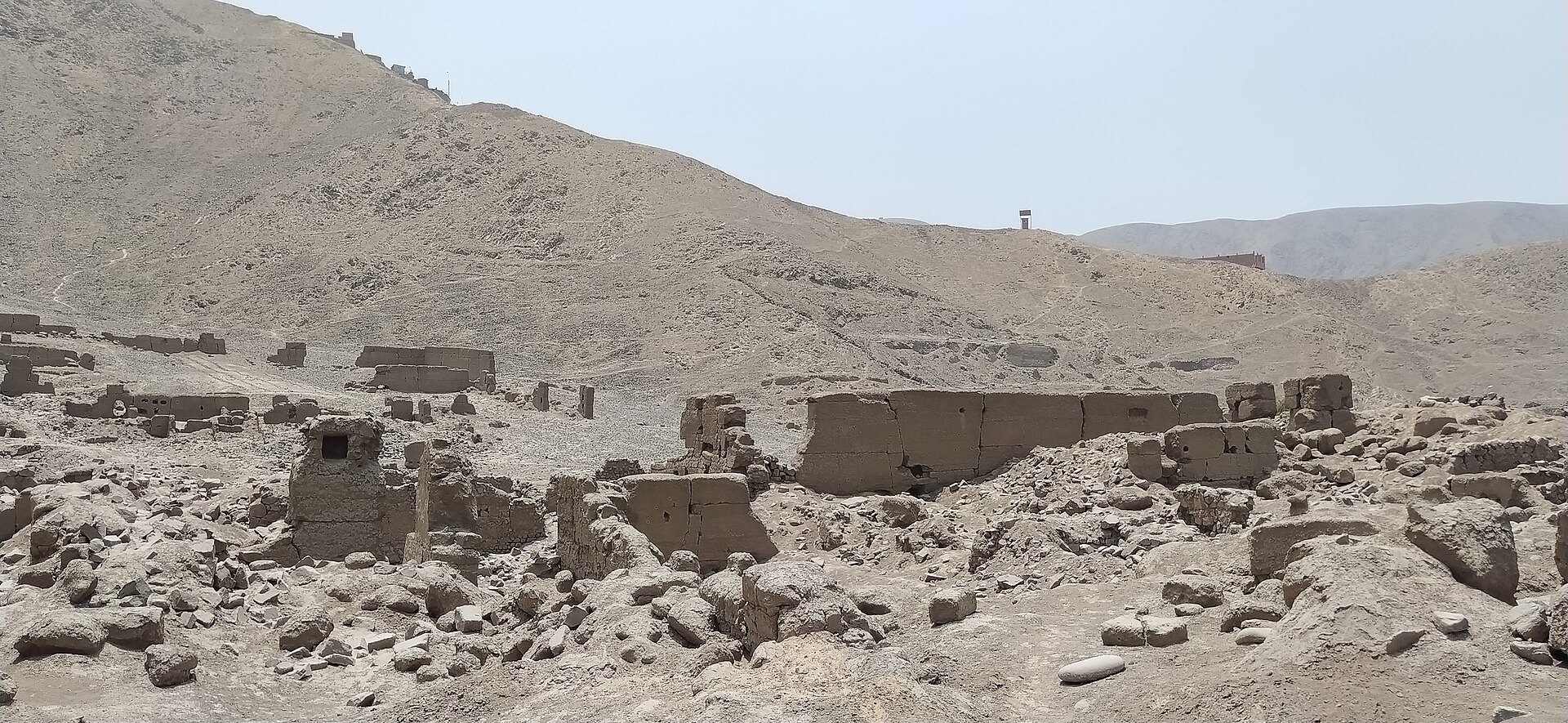
The monumental archaeological zone covers approximately 60 hectares divided among three sectors. Its surviving buildings and spaces include palaces, residential compounds, storage facilities, ritual areas, roads, terraces used for drying plants, and enclosures. Rammed earth, made by compacting damp earth within forms, appears alongside stone-and-mud construction. Numerous structures survive in varying states of preservation.
Sector 1 and the Palace
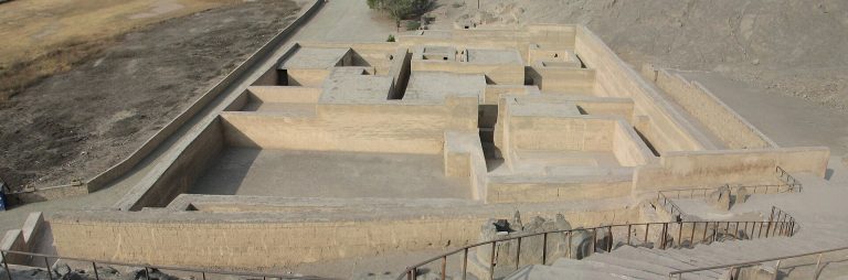
The restored Palace
Sector 1 is the largest part of the settlement and contains the remains of ancient Pariacha. It includes elite residential compounds, several palaces, and domestic, industrial, and ritual spaces. The restored Palace was built with rammed-earth walls and walls made of stone and mud. Its courtyards and open areas contain benches, ramps, niches, and numerous collqas, deep circular storage chambers, some shaped like bottles, that were used to preserve food.
The Palace appears to have been organized into two principal areas. The eastern side served an administrative function and was characterized by storage chambers, while the southwestern side formed a restricted residential area. Both parts contain underground, four-sided galleries that may have been used for funerary purposes, possibly for depositing mallquis, the mummified ancestors or funerary bundles associated with elite lineages.
Other structures and surface finds
Other buildings in Sector 1 have uncertain functions. Some may have acquired funerary uses near the end of the pre-Hispanic period and during the transition to colonial rule. Looting has exposed human and animal bones, textile fragments, maize remains, and tufts of native cotton on the ground surface.
Drying installations
Along the southern and western foothills around Sector 1 are terrace-like structures that functioned as drying installations rather than agricultural terraces. Their placement allowed solar radiation to dehydrate locally grown plants, including chili peppers and coca. The dried plants could then be stored, transported, or used as ritual offerings.
Roads and separated sectors
Sector 2 and the Inca road
Opposite the main entrance, Sector 2 preserves part of an elevated road enclosed by walls. During the Late Horizon, this route formed part of the Qhapaq Ñan, the Inca road system that linked administrative centers and settlements across the Andes. The road connected Pariacha with the administrative centers of San Juan de Pariachi, Huanchihuaylas, and Mama. Through the pass of the Molle ravine, it also linked the settlement with Huaycán de Cieneguilla and with the principal route between Hatun Xauxa and Pachacamac in the Lurín Valley.
Sector 3
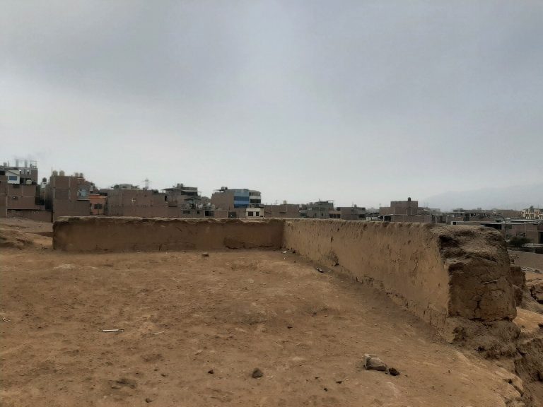
Sector 3 is separated from the other sectors and lies approximately one kilometer west of the entrance to Sector 1, beside the Horacio Zevallos housing development. It covers about 18 hectares within a perimeter of approximately 553 meters. Enclosures with rammed-earth walls survive there in poor condition.
Landscape features and archaeological evidence
Subsurface camelid remains have been found in association with a rock-and-mud avalanche dating to around AD 500. The archaeological zone also includes a peripheral irrigation canal whose recovery has been considered important for conserving the local ecosystem.
Conservation plans have emphasized the restoration of native cacti. One large tree-like cactus dominated the Huaycán ravine until 1984 and serves as a nurse plant for other vegetation and animals.