Huaca San Borja: An Ichma-Associated Ceremonial and Administrative Center
Site at a Glance
- Popularity
- Medium
- Country
- Peru
- Primary era
- Medieval
- Eras represented
- Medieval
- Civilizations
- Unclassified
- Site type
- Religious
- Remains
- Sanctuary
On this page8 sections
History
Huaca San Borja is a sacred archaeological mound in San Borja, Peru, associated with the Ichma, a pre-Inca polity of the central Peruvian coast. Its history includes the Late Intermediate Period, an Andean archaeological period spanning approximately 1100–1500, and the Inca Late Horizon, dated here to 1500–1532.
Ichma and Inca periods
During the Late Intermediate Period, Huaca San Borja fell within the jurisdiction of the Maranga chiefdom, which was subordinate to the Ichma lordship. The site was later occupied during the Inca Late Horizon. After the Ichma were peacefully incorporated into the Inca Empire, the huaca served as a tambo, an administrative station, and as a minor ceremonial and administrative center in the lower Rímac Valley.
The huaca belonged to the larger Limatambo archaeological complex, much of which has nearly disappeared as the city expanded. Taulichusco, described as Lima’s last Indigenous local authority in the sixteenth century, is said to have lived within the complex. During the Spanish conquest, searches for hidden treasure destroyed many sacred sites. Huaca San Borja and the archaeological center of Limatambo were the two sites in the area to survive those destructions.
Colonial period
During the colonial period, land in the area was granted to a city secretary and a Spanish conquistador. The Jesuits later held it until their expulsion by order of Charles III of Spain, an eighteenth-century Bourbon king. Ownership then changed several times, and the area remained abandoned for a long period.
Modern research and protection
On 1 June 1983, Peru created the district of San Borja by separating it from Surquillo. Huaca San Borja lay within the new district, from which it takes its name. A first restoration initiative began in 1986, when the site was abandoned, locally regarded as unsafe, and being used as a rubbish dump.
Research carried out with the Municipality of San Borja and the University of Lima included excavations by archaeologist Alberto Bueno Mendoza from 1988 to 1993. Later investigations refined understanding of the site’s periods of occupation. Local oral accounts connected the disturbance of archaeological material with the destruction of the Las Torres property. In June 2000, the National Institute of Culture, now the Ministry of Culture, and the municipality began a program of research and conservation. The Ministry of Culture administers the site, which is designated National Cultural Heritage.
Remains
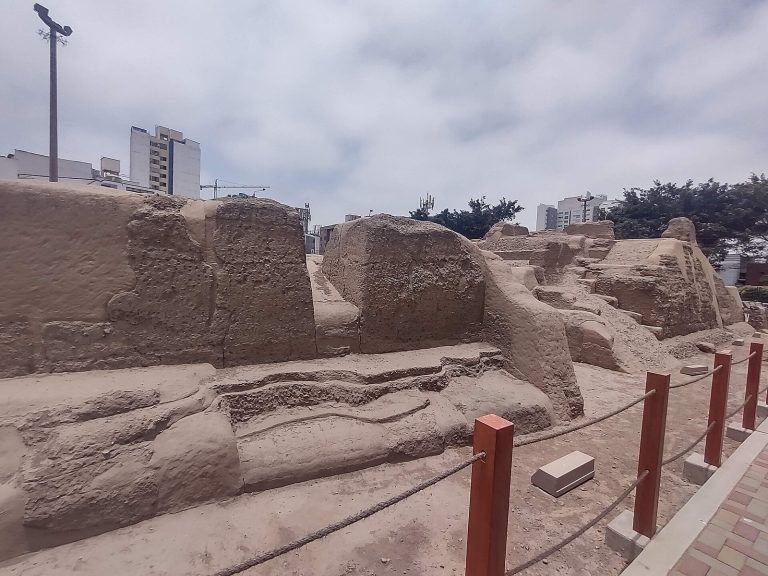
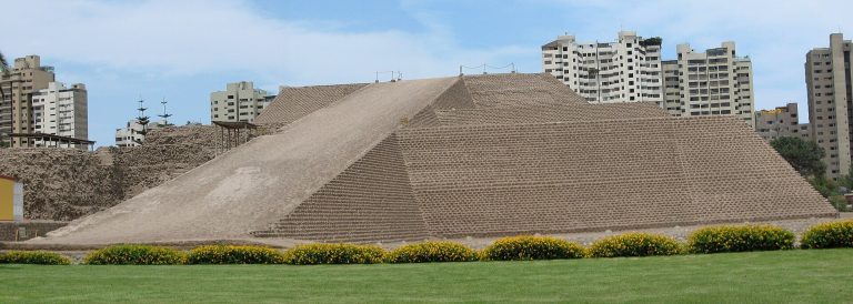
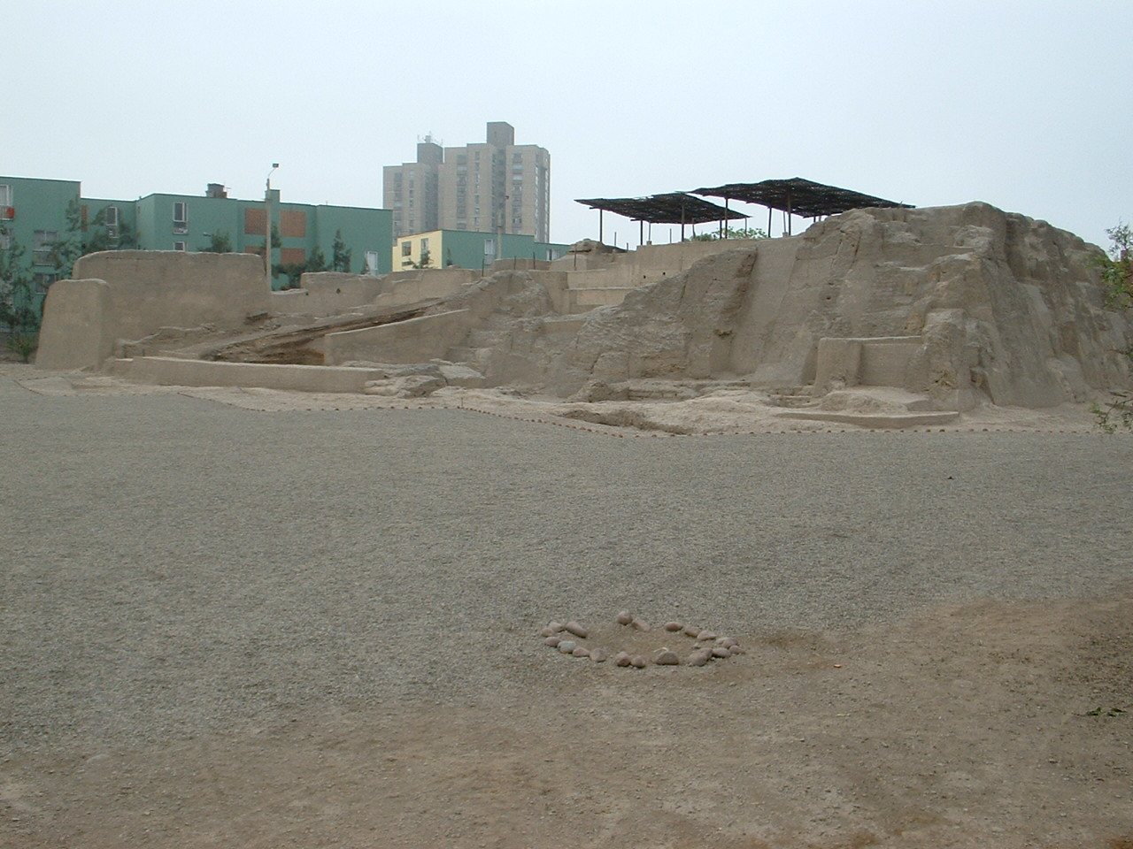
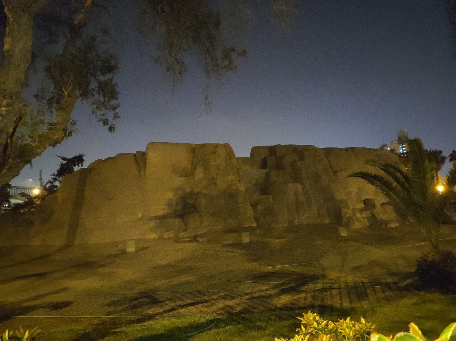
The huaca stands at the junction of Canada Avenue and De la Arqueología Avenue. It is a stepped, earth-built pyramid with a slightly trapezoidal plan; rooms, passageways, courtyards, and stairways form an arrangement within its enclosing walls.
Pyramid and building materials
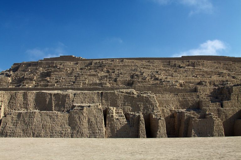
The truncated pyramid measures about 50 m long by 40 m wide and reaches approximately 6.5 m in its best-preserved area. It was built mainly of rammed earth. Its construction fill also incorporates reused material from structures of the Lima culture, including small sun-dried earth blocks and fragments of rammed-earth walls, as well as rounded stones and clay packed in plant-fiber bags called shicras.
Walls and interior construction
A high perimeter wall encloses three of the pyramid’s four sides, with a second wall inside it. The outer walls extend along the south, east, and west sides. The wall rests on stone blocks arranged in projecting layers and slopes gently outward. Internal construction units were built up with vertically layered fill held by partitions running north–south and inclined east–west. About four to six walls are described as enclosing these units, which are well preserved and reach roughly 7 m at the southwest corner. The enclosed complex contains rooms, passageways, courtyards, and stairways. Exterior structures have straight-sided plans and elevations associated with the Middle Horizon, while interlaced-block walls are linked to Late Intermediate Period architecture and similar buildings elsewhere in the Lima Valley.
Wider mound group and setting
The huaca lay near the sphere of influence of the Huatica irrigation canal, an important system that extended to Maranga and still survives. Aerial photographs show that the monument formed part of a group of at least four mounds. Two architectural fragments were identified at the northeast corner of Túpac Amaru Park, and a small mound lies at the southeast corner, within the Peruvian Sports Institute beside Canada Avenue.