Hoşap Castle: A Seventeenth-Century Fortress in Türkiye


Site at a Glance
- Rating
- 4.6
- Popularity
- Medium
- Country
- Turkey
- Primary era
- Early Modern
- Eras represented
- Medieval, Early Modern
- Civilizations
- Armenian, Ottoman
- Site type
- Military
- Remains
- Castle
On this page11 sections
History
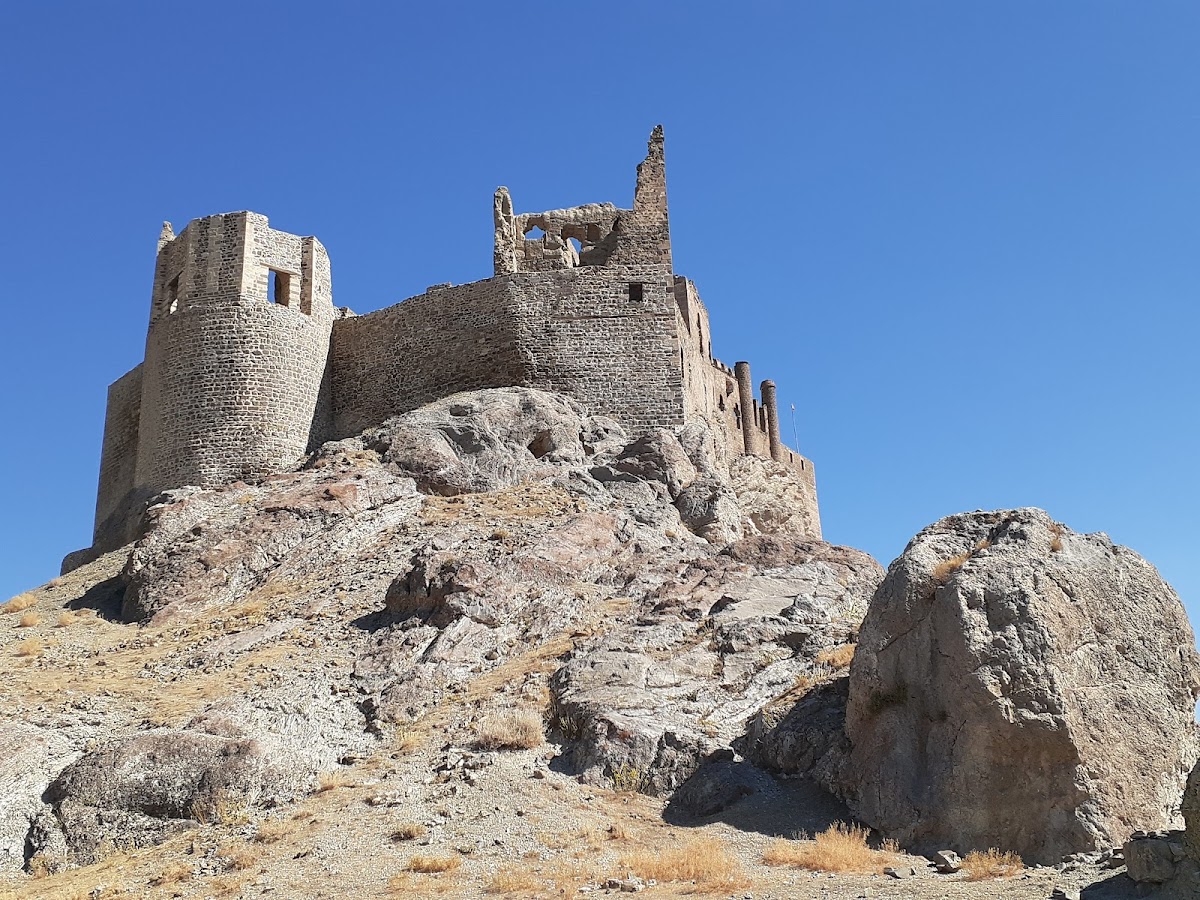
Hoşap Castle is a large seventeenth-century fortress in Türkiye, built over the foundations of a medieval Armenian fortress above the Hoşap River in Güzelsu, Van Province. Its position on the route between Türkiye and Iran gave it strategic importance. The site’s history reaches back to the Urartians, an Iron Age kingdom centered on Lake Van and known for fortified settlements, mountain strongholds, roads, and irrigation works.
Urartian and Medieval Foundations
Hoşap appears to have begun as a military installation at the junction of the Tuşba–Kelişin military route toward the southeast and the Van–Kotur route leading east. After the Urartian period, the site passed successively under Persian, Macedonian, Seleucid, Roman, and Byzantine rule. During the Middle Ages it belonged to the cities of Vaspurakan, a medieval Armenian kingdom centered in the Lake Van region. From the eleventh century, Hoşap came under Turkic rule.
Turkic control began under the Seljuk dynasty and continued under the Ilkhanids, the Mongol dynasty that ruled much of Iran and adjacent regions during the thirteenth and fourteenth centuries. Hoşap was then a city in the Van province known as Vilayet-i Ermen. In the thirteenth century, the Arab chronicler Yakut referred to it as Khavshab in the province of Vaspurakan. The name Hoşap means “fresh water” in Persian and derives from the Hoşap River.
The Mahmudi Principality
The Karakoyunlu ruler Kara Yusuf later settled the Kurdish Mahmudi tribe at Hoşap, where the Mahmudi beylik, a principality governed by a regional ruler, was established. The tribe had originally been Yezidi, a religious minority of the Middle East historically concentrated especially in northern Mesopotamia, and had migrated to the region from the Jazira.
The Mahmudi rulers supported the Ottomans during the Ottoman–Safavid conflicts, a series of struggles between the Ottoman Empire and Safavid Iran for control of territory and influence. They received privileges in return, and Hoşap remained under their semi-independent rule until the Ottoman government took control by the middle of the nineteenth century.
The Seventeenth-Century Rebuilding
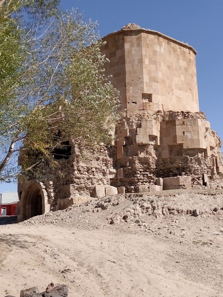
Most of the surviving masonry, including the entrance tower and outer walls, was built or rebuilt during the 1640s by Sarı Süleyman Bey, chief of the Mahmudi tribe. The medieval Armenian fortress had itself been preceded by an Urartian stronghold, giving the site several successive military phases.
Hoşap was already known as a fortified place before Sarı Süleyman Bey’s rebuilding. The Ottoman court chronicler, artist, and military writer Matrakçı Nasuh mentioned it as Kale-i Mahmudi when describing Sultan Suleiman I’s return route from his Iranian campaign of 1548–1549. The seventeenth-century Ottoman traveler Evliya Çelebi visited the castle in 1650 and described its defenses and iron gates.
Town and Abandonment
The former town of Hoşap occupied the flat ground north of the castle rock and the enclosed area on the opposite side of the castle from the road. By the 1850s it contained approximately 1,500 families, including about 1,000 Armenians. Armenians worked in agriculture, crafts, and trade, while Kurds were mainly engaged in animal husbandry. Two Armenian churches stood within the fortress until they were destroyed during the expulsion of the Armenians.
The fortress was abandoned in the mid-nineteenth century, although much of its internal architecture remained substantially intact. Today Hoşap Castle is administered by Türkiye’s Ministry of Culture and Tourism and is regarded as one of the region’s symbolic monuments.
Remains
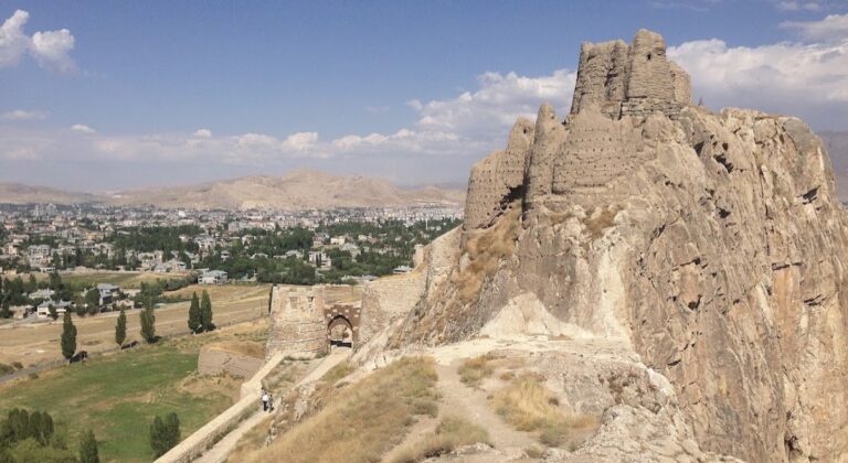
Hoşap Castle rises on steep rock above the Hoşap River. The rock is precipitous on the south and slopes toward the north, shaping the fortress’s defenses and its three concentric lines of walls. The outer walls follow the ground around the east, north, and west sides, while the inner castle occupies the stronger central and elevated part of the rock.
Outer Defenses
The outer enclosure includes surviving eastern wall sections, ruined western defenses, and supporting bastions, which are projecting defensive structures built into or beside a fortification wall. A watchtower stands on the northeastern side. The enclosure also contains the remains of a mosque and village houses, linking the military complex with the settled community that once occupied the castle area.
The earlier medieval Armenian fortress had two defensive walls, one close to the keep, the principal strong tower or enclosed stronghold within a castle, and another along the present intermediate walls. The eastern stretches and towers preserve the layout of this earlier Armenian structure within the later fortress.
Entrance and Inner Castle
Entrance Bastion
Access to the inner castle is through a gate opening into an entrance bastion near the middle of the northern side. The bastion is flattened into the form of a monumental crown gate. Its western façade carries an inscription, a window, and lion reliefs or images. A Persian inscription concerns the gate’s construction, while two chained lion motifs flank the emblem above the inner-castle entrance.
The original iron gate leaves survive and remain functional. Evliya Çelebi described each leaf as being made entirely of Nahçıvan iron, without a wooden core, and weighing approximately 300 kantars. A modern description gives an approximate weight of 17,000 kilograms for each leaf.
Mahmudi Palace
The inner castle contains the buildings known as the Mahmudi palace. They are arranged along the southern side of the fortress. A viewing pavilion occupies the highest eastern end, the harem stands immediately to its west, and the selamlık, the formal reception and men’s section of an elite residence, lies at the western end.
Other buildings within the complex include two mosques, three baths, fountains, a water cistern, underground dungeons, and rooms. Together, these structures formed the residential, religious, water-supply, and defensive elements of the Mahmudi stronghold.
Town Defenses and River Crossing
The former town was additionally protected by a mud-built wall whose traces of mud battlements survive. The wall originally extended from the ends of the castle’s two cliffs. One section followed a natural ridge eastward from near the Van road, while another crossed a low saddle toward the northeast from the southern cliff. Both sections met at the summit of the next hill, controlling the ground overlooking the town.
Below the castle, a historic bridge built by Zeynel Bey crosses the Hoşap River. The bridge formed part of the wider physical setting of the fortress, whose elevated rock, town defenses, and river crossing together shaped the settlement’s protected landscape.
Nearby sites