Horvat Sumaqa: A Roman and Byzantine Jewish Settlement on Mount Carmel
Site at a Glance
- Popularity
- Medium
- Country
- Israel
- Primary era
- Classical
- Eras represented
- Classical, Medieval
- Civilizations
- Byzantine, Roman
- Site type
- City
On this page17 sections
History
Horvat Sumaqa is an ancient Jewish settlement on Mount Carmel in Israel, probably founded toward the end of the Early Roman period. The town flourished especially in the third and fourth centuries and was one of the larger Jewish communities on Mount Carmel. Its synagogue’s first phase, probably built to a basilica plan, dates to the third century.
Roman and Byzantine settlement
Finds beneath the synagogue, including pieces of a Herodian lamp and fine Roman tableware known as terra sigillata, indicate activity before the synagogue was built. Horvat Sumaqa became a Jewish town during the Roman and Byzantine periods. The Byzantine Empire was the eastern continuation of the Roman Empire, and this period also formed part of the Rabbinic era, when Jewish religious teachers and legal traditions associated with rabbis became prominent. Although the town does not appear in ancient texts, several rabbis of the third and fourth centuries had names that may connect them to it: Ḥilfi ben Samqai, Rabbi Tufa Semuqa, and Rabbi Abba Semuqa.
The settlement’s prosperity rested on highland agriculture and local production, including oil and wine. Tanning and other crafts using sumac may also have contributed. The place-name is associated with sumac, Rhus coriaria, a plant used for spices, medicine, and tanning; a link between the name and local tanning has been proposed.
A sharp decline and partial abandonment took place in the fifth century. Possible causes include Byzantine persecution of Jews or reprisals during the suppression of the Samaritan revolts, uprisings against Byzantine rule that also affected Jewish communities, including nearby Husifah. Repairs and rebuilding followed, though coins point to a break in occupation from the early fifth to the middle of the sixth century.
Later occupation
People returned to the settlement, which was abandoned again around the middle of the seventh century. A small Christian community may have lived there during one phase. Under Crusader rule, a period of European Christian government in parts of the eastern Mediterranean, the site saw temporary or seasonal use, perhaps as a hunting camp. Workshops and other buildings were used again under the Mamluks, a military ruling dynasty. In the Ottoman period, when the empire governed the region, the settlement appears to have been deserted.
Exploration and interpretation
Victor Guérin recorded the local name in 1875, when the ancient name was unknown. A survey in 1881 considered that a synagogue had stood on the site and compared its architectural fragments with those at Bar’am and Meiron. Heinrich Kohl and Carl Watzinger investigated the building in 1905; site work is also dated to 1907, and their research appeared in 1916. Later, villagers from nearby Umm az-Zinat removed building stones, while military training damaged the synagogue and nearby burial chambers.
Excavations began in 1983 and continued through 1995, with work on the synagogue, houses, workshops, and central reservoir. The building’s identification as a synagogue has been questioned. Adam L. Porter drew attention to its east-facing orientation, while Yehudit Turnheim emphasized the regional variation among ancient synagogues.
Remains
Setting and water
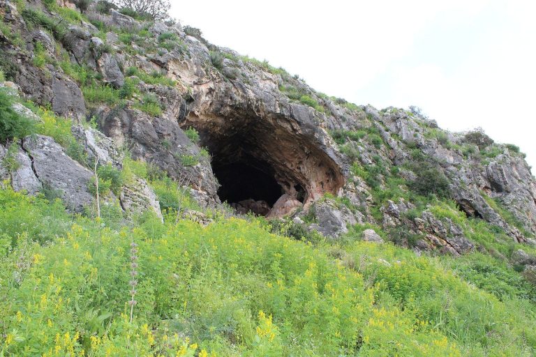
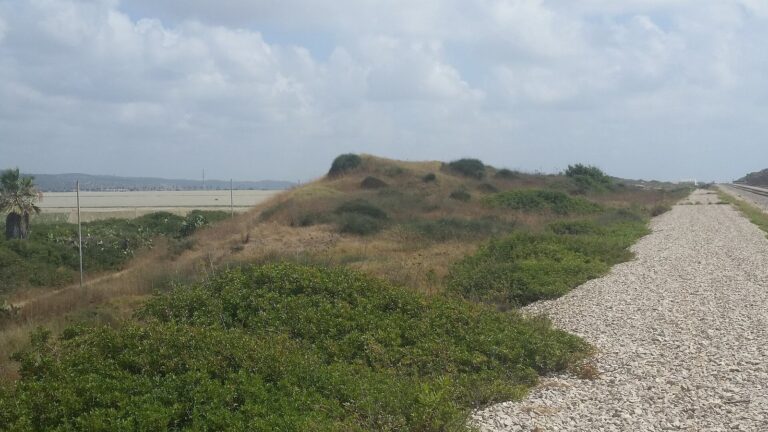
The ruins extend across about 35 dunams, or 8.7 acres, on a rocky hill roughly 350 metres above sea level. Higher hills rise to the north, while the land descends to the south and west toward a fertile valley. Hard chalk underlies the hill and supplied building stone; softer chalk forms the surrounding slopes. The rugged bed of Nahal Haruvim borders the site to the northwest. Since the settlement relied on rainwater, its inhabitants cut underground cisterns into the rock. A central reservoir held about 100 cubic metres and is still used by shepherds, while an older cistern west of the site remains functional. Spacious houses east of the oil press had their own cisterns.
Synagogue
First building phase
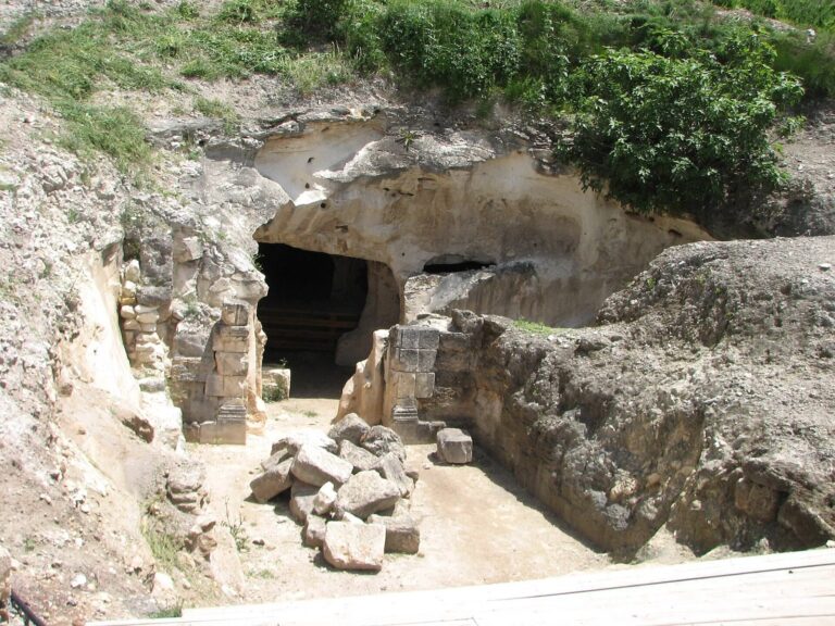
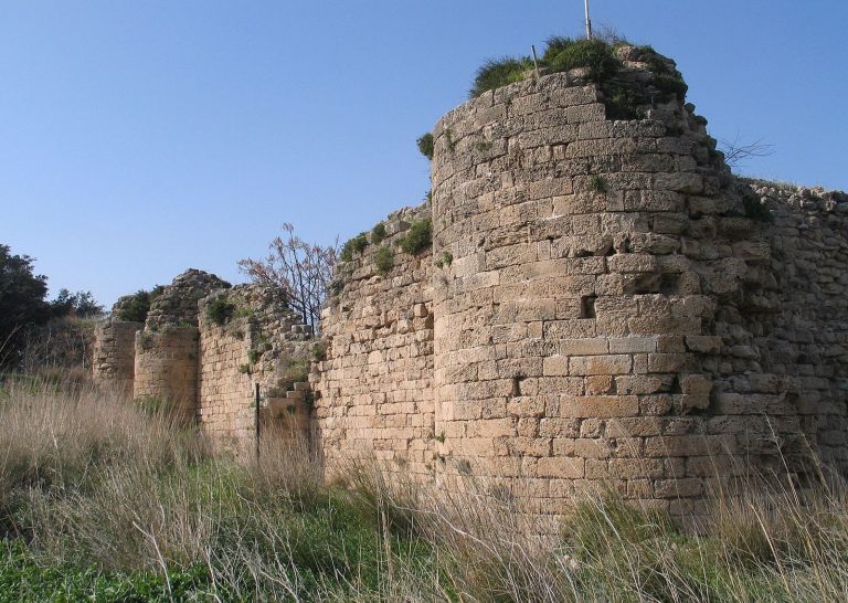
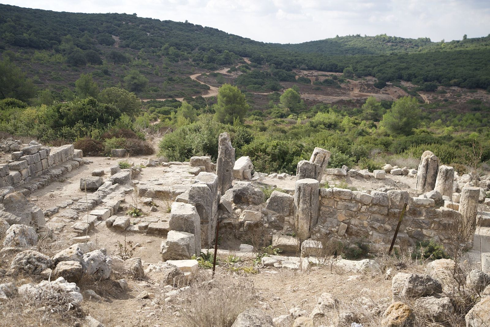
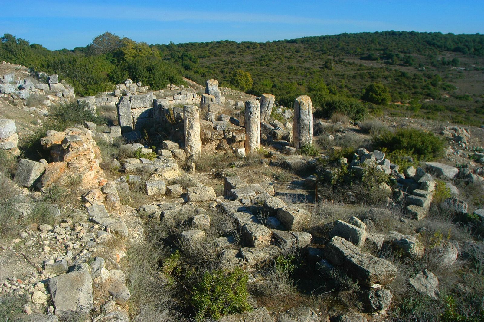
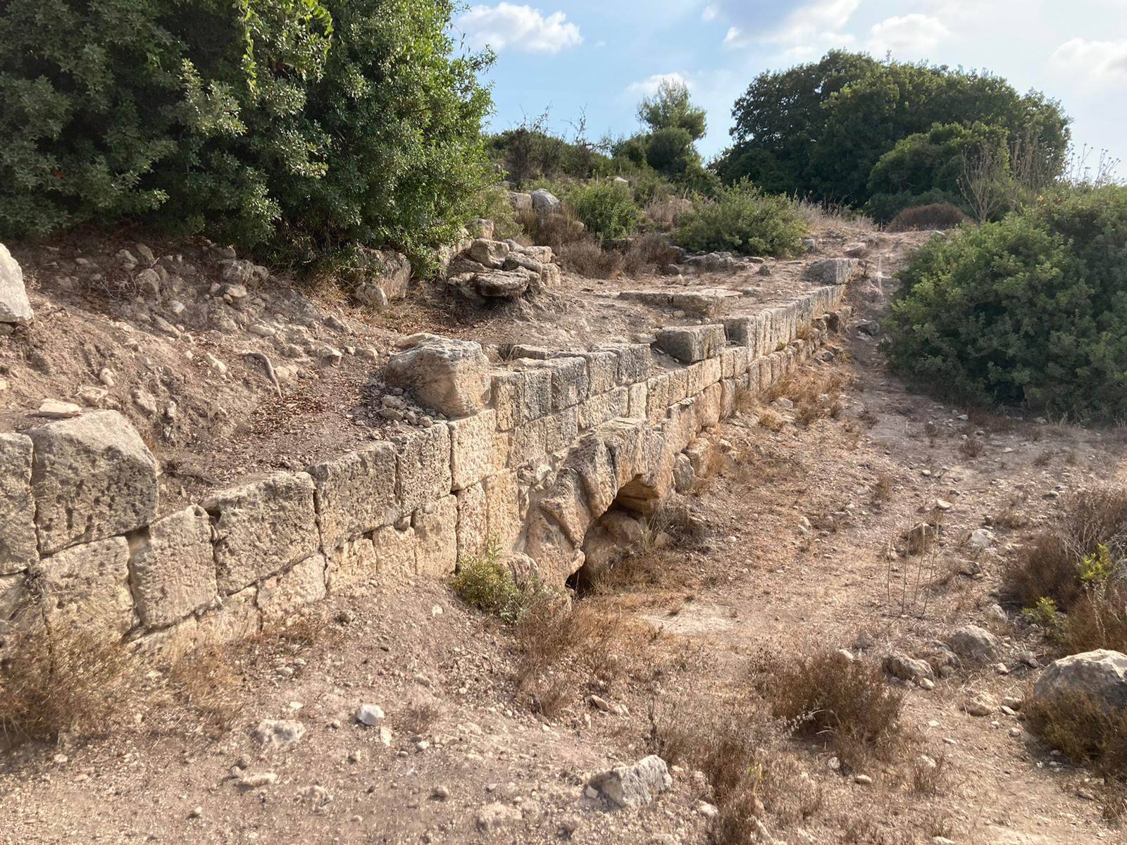
The synagogue stood on a terrace cut into the southern slope, with its façade facing east. Its first phase, probably dating to the third century, had a basilica plan, a long rectangular hall often arranged with rows of columns. The building measured about 14.8 by 23.8 metres, including the narthex, an entrance porch. Large, carefully cut stone blocks were fitted closely without mortar. Builders cut into the bedrock on the north side and raised foundations on the south to level the floor. The eastern façade had three doorways. Two matching groups of Ionic columns, whose capitals have paired spiral forms, were probably used in the main hall and porch. The floor consisted of stone bedding, lime mixed with crushed stone, and a hard lime-plaster surface.
Fragments of a gable frieze, cornices, and a shell-shaped window decoration survive. Pieces of a three-dimensional eagle sculpture may have come from a work above the main doorway. A large lintel bears a lion-and-goblet design. It was described as complete in the nineteenth century, with two lions facing a goblet and a small cup above one lion; its main surviving portion now lies inverted among large stones around the building. Another fragment, with a recessed frame and the Hebrew letter mem or lamed, was reused in a medieval step.
Later alterations and reuse
In the Byzantine phase, internal walls narrowed the hall to about 10 by 15 metres, and benches were installed along the plastered walls. Five upright pillars with grooves, which varied in height and width, were probably brought from nearby workshops for repairs. A small menorah, a seven-branched Jewish ritual candelabrum, was scratched into the façade. Six Byzantine coins came from the building; the latest dates to 618 or 619.
Between the eleventh and fifteenth centuries, the former synagogue was used for domestic purposes. Kitchenware, animal bones, and ovens in the area of the eastern wall point to this later occupation.
Homes and production areas
Residential quarter
Excavations on the southwestern side uncovered a residential block measuring about 25 by 35 metres, or roughly 800 square metres. It was built of well-cut stone blocks and had two main construction phases; most of the finds date from the third to fifth centuries. Among them were a terracotta lamp decorated with a seven-branched menorah and the base of a Byzantine bowl bearing a human figure, perhaps a saint or emperor. A rock-cut feature may have served as a mikveh, a pool for Jewish ritual immersion, before being reused as a dump.
Wine production
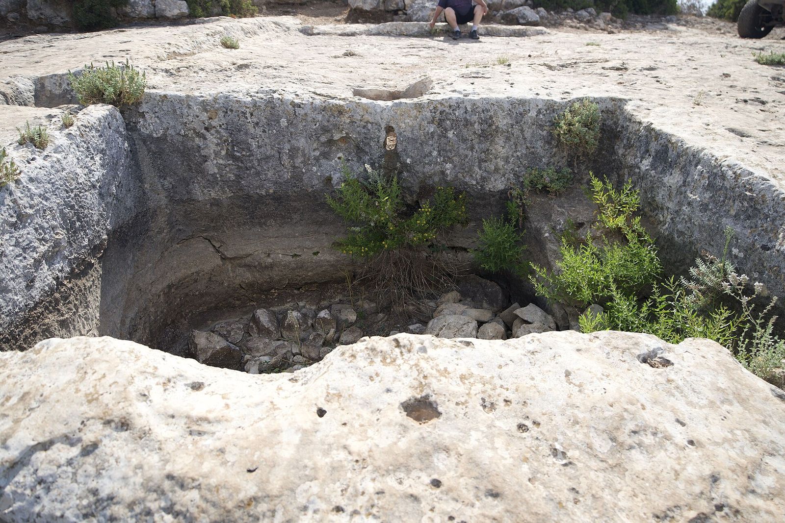
About six agricultural installations were identified, including four wine presses. One large installation measured about 10 by 15 metres and had a central collecting vat that could hold up to 10,000 litres. A wider winepress system lay about 200 metres northwest of the settlement’s centre. It included rock surfaces for treading grapes, settling basins, and openings that filtered juice into a reservoir of about 10 cubic metres. A nearby pear-shaped cave cut into the rock may have been used to store or ferment wine, and a pit close to the presses may have served as a winery.
Oil press
North of the synagogue, an oil press had a production area and a collecting pit with a capacity of up to 600 litres. Upright rock pillars held its beam, with a pressing surface between them. The installation also included two weights, each estimated at about one tonne, oil-collection basins, and a plastered pool. Twenty-four fourth-century coins were found in the collecting pit’s fill.
Workshops
Roughly a dozen workshops had plastered work surfaces and large collecting pits, some holding about 8,000 to 9,000 litres. One workshop northeast of the synagogue covered about 250 square metres and contained a plastered floor, square and trough-like basins, and round grooved pillars. About thirty grooved pillars were found across the site. Some were reused in synagogue repairs, and the pillars remained in use in later periods. Their purpose is uncertain; suggested uses include processing sumac, preparing dye materials, and stretching skins for tanning.
Tombs and animal remains
Rock-cut tombs
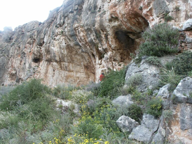
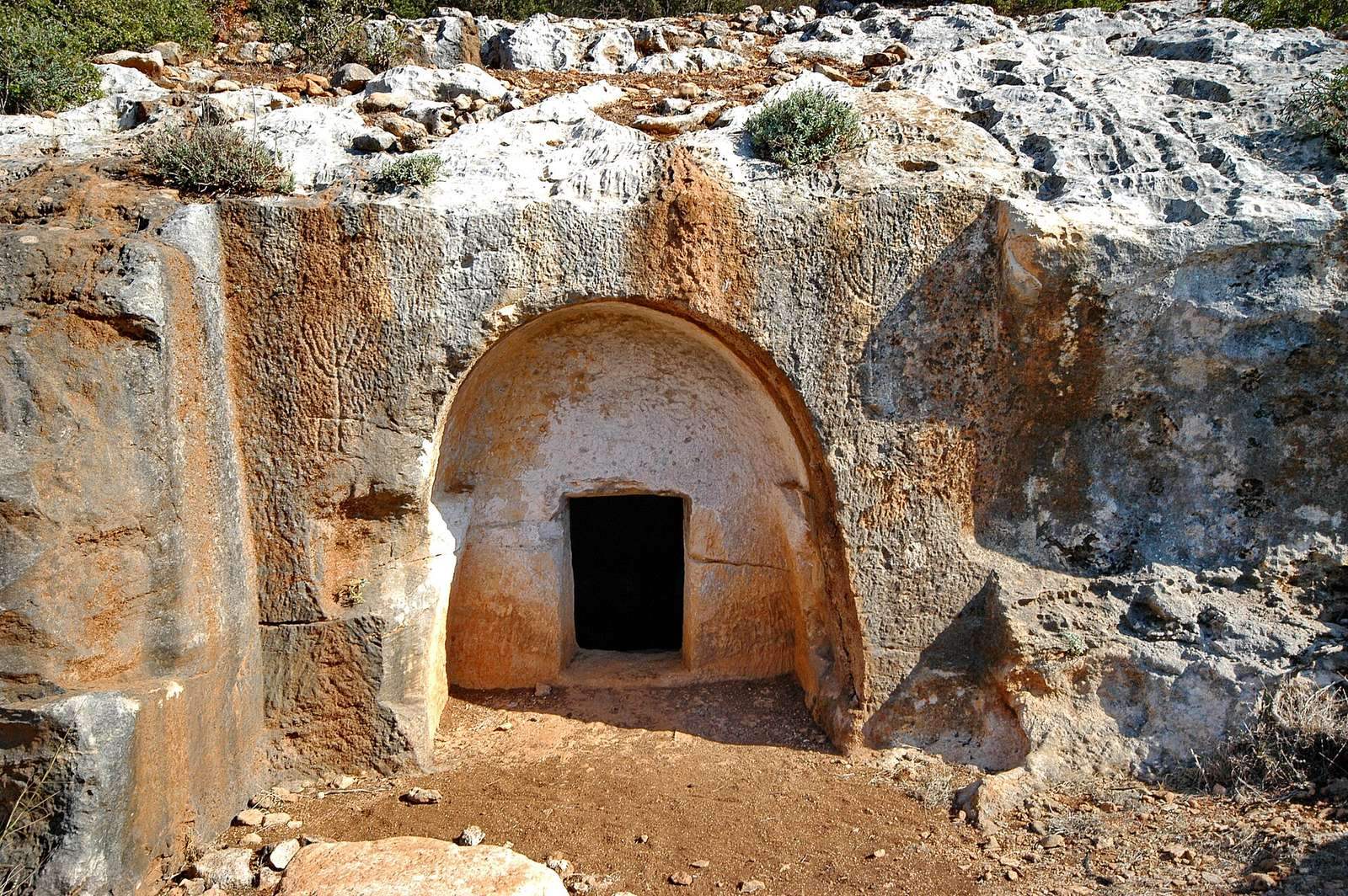
More than twenty rock-cut tombs surround the settlement. Amos Kloner dated them to the end of the second or beginning of the third century. Some lie in the upper reaches of Nahal Haruvim to the northwest. One has two seven-branched menorahs on its façade and two burial chambers containing six arched burial niches. Other tombs lie south of the settlement in an ancient quarry. One bears a floral design and damaged carvings of two animals, probably a bull and a lion. The tomb interiors were badly damaged and looted.
Animal and fish remains
Animal bones include many sheep and goats, smaller numbers of cattle, and remains of chickens, ducks, donkeys, and camels. Butchery marks on limb bones indicate that much of the material was slaughter waste from animals eaten locally. Pig bones made up less than one percent of Roman and Byzantine remains and about four percent of the medieval group. Wild species include gazelle, roe deer, wild boar, red fox, Greek tortoise, and striped hyena. Hyena bones in the burial caves suggest that the animals used them for shelter. Fish remains from a rock-cut pool include mullets, gilt-head bream, and redbelly tilapia, species associated with marine or brackish water.