Tel Sahar: An Archaeological Settlement Mound in Israel
Site at a Glance
- Popularity
- Low
- Country
- Israel
- Primary era
- Classical
- Eras represented
- Bronze Age, Iron Age, Classical, Medieval
- Civilizations
- Achaemenid, Byzantine, Phoenician
- Site type
- City
On this page16 sections
History
Tel Sahar, also known as Tel Megadim, is an archaeological tell in Israel, a mound formed by successive periods of human occupation. It has been identified with Karta, a Phoenician city associated with the eastern Mediterranean communities known for seafaring and trade. One interpretation connects Karta with a Levitical city, a settlement associated with the Levites, within the territory of Zebulun, one of the tribes of ancient Israel, as described in the Book of Joshua. In AD 333, a traveler from Bordeaux referred to a place in the area as the Karta road station.
Early settlement and Bronze Age
The earliest occupation probably dates to the Chalcolithic, or Copper Age. Later settlement phases span the Early and Middle Bronze Age. Evidence from these periods indicates changing patterns of activity, including settlement, burial, and exchange.
Phoenician and Persian periods
Fortifications and characteristic pottery point to Phoenician activity at the site. Its coastal position and imported goods also indicate connections with maritime trade. Activity continued during the Persian period, when the settlement had a town plan dating to the fifth century BCE.
Roman and Byzantine occupation
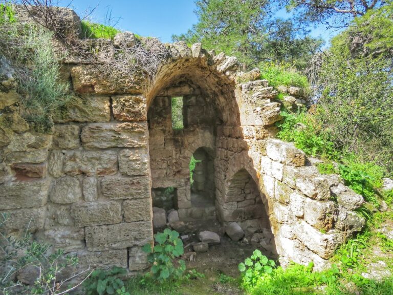
Occupation continued into the Roman and Byzantine periods. A Byzantine-period building has been interpreted as a roadside inn.
Archaeological investigations
Magen Broshi led excavations from 1967 to 1969 with archaeologist Nadav Naaman; an expedition from Boston College, headed by David Neiman, also took part. Further excavations accompanied the railway’s relocation across the tell in 1994. Later work by Samuel Wolff identified occupation layers, with particular attention to the Persian-period settlement.
Remains
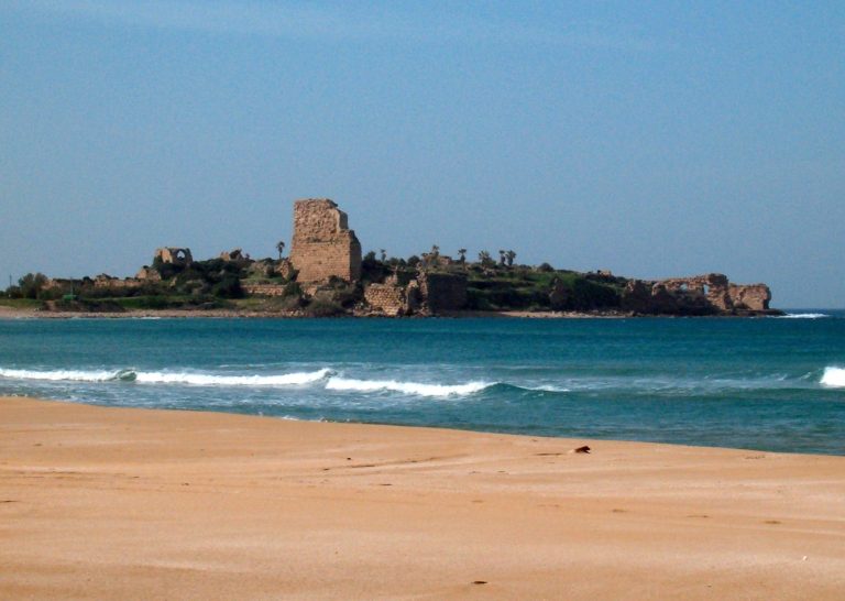
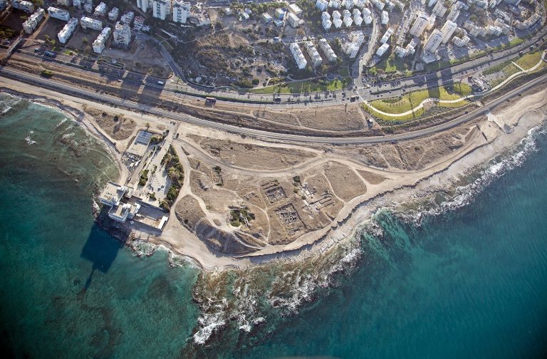
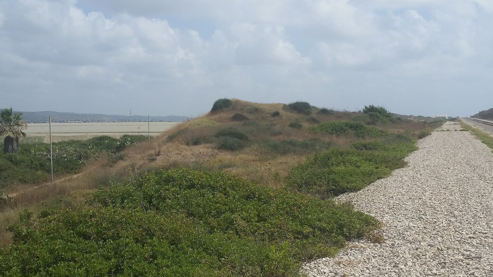
The site rises to 22 metres above sea level as a low mound in a flat coastal landscape, near the Mediterranean shore and the western edge of Megadim. Highway 2 runs along its western side, while the railway crosses the tell. The archaeological remains extend beyond the mound into areas to its north and south.
The settlement mound
Early occupation layers
Chalcolithic finds recovered from fill in the bedrock include pottery sherds, fragments of basalt vessels, and flint tools. Several settlement layers belong to the Early Bronze Age. Early Bronze Age I pottery indicates cultural links with Qiryat ‘Ata, Tel Qashish, ‘En Assawir, ‘En Shadud, and Megiddo. Finds from Early Bronze Age IV provide evidence about subsistence.
Fortifications and Persian-period finds
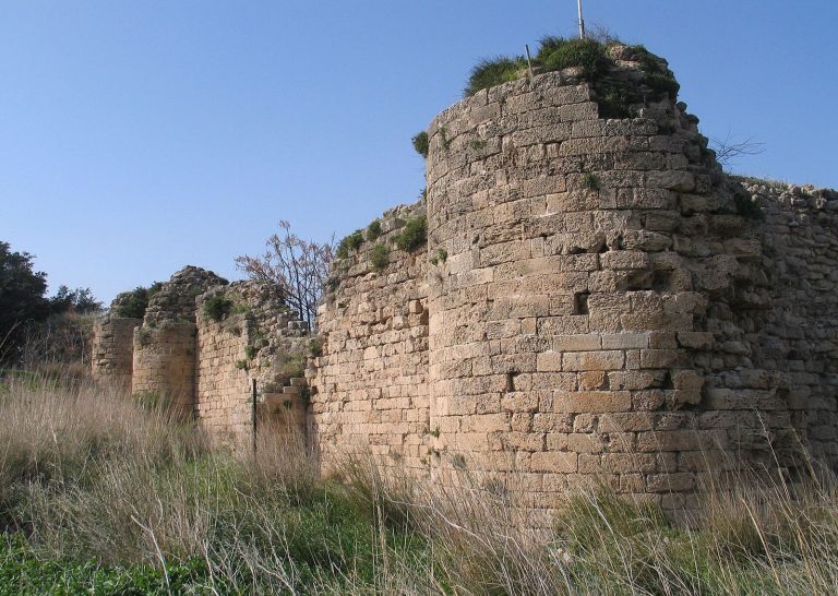
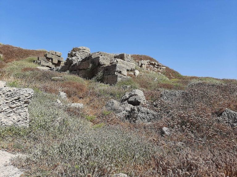
A fortification system associated with Phoenician activity includes a wall. Imported ceramics include Cypriot pottery from the late Middle Bronze Age IIA, as well as numerous vessels from Bronze Age and Persian-period contexts. Persian-period remains include a complete town plan dated to the fifth century BCE, a stone altar made from kurkar, a local calcareous sandstone, and figurines of horses and riders.
Byzantine-period building
A single building from the Byzantine period is interpreted as a roadside inn.
Burial and coastal evidence
Middle Bronze Age tombs
Two dozen Middle Bronze Age tombs contained human remains and artifacts. Their contents provide evidence for burial customs, differences in social standing, and trade.
Offshore anchorage
Anchors found offshore indicate that ships moored near the coast and transferred cargo to shore in smaller craft. Underwater kurkar ridges formed a natural lagoon that sheltered the anchored vessels.
Areas beyond the mound
Southern ridge
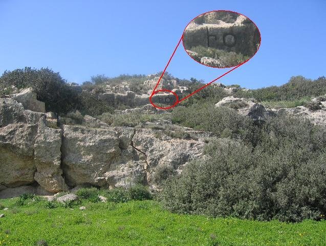
South of the tell are remains of a structure and cuts made into a kurkar ridge. Flint tools from the area span the Epipalaeolithic, a prehistoric period between the Upper Paleolithic and the Neolithic, through the Canaanite period. Pottery from Persian and Byzantine contexts was also found there.
Northern area
North of the tell, earth mounds contain building remains, and cup-shaped marks have been cut into the rock. Flint tools and pottery from this area date to the Chalcolithic, Early Bronze, and Persian periods.