Herlingsburg: A La Tène Hillfort in Germany
Site at a Glance
- Popularity
- Medium
- Country
- Germany
- Primary era
- Medieval
- Eras represented
- Iron Age, Medieval
- Civilizations
- Unclassified
- Site type
- Military
- Remains
- Fort
On this page9 sections
History
Herlingsburg is a hilltop settlement and fortification within Lügde and Schieder-Schwalenberg, in Lippe district, Germany. Its construction is estimated at around 210 BC, with an uncertainty of about 50 years, placing it in the La Tène period, a later phase of the Iron Age in central Europe. Its exact purpose remains uncertain: it may have served as a defensive stronghold or refuge, helped control long-distance routes, or had a representative function.
La Tène-period settlement
Pottery points to an early period of use from about 250 BC to the beginning of the first century AD. Investigations of finds and rampart profiles in 1902, followed by radiocarbon dating of timber-post remains in 1967, support an Early La Tène origin. The archaeological sequence has also been interpreted as indicating use over more than a thousand years, although pottery identifies two principal periods.
Early medieval refortification
A second period of use began in the early eighth century and continued to the start of the tenth. In the eighth century, the Saxons, a Germanic people active in early medieval Europe, returned the exposed hilltop to military use and refortified it. The substantial main rampart belongs to this phase. The first element of the name Herlingsburg has been tentatively linked to the Cherusci, an ancient Germanic people who lived in the region around the beginning of the Common Era, but this proposed connection is uncertain.
Later boundary and investigations
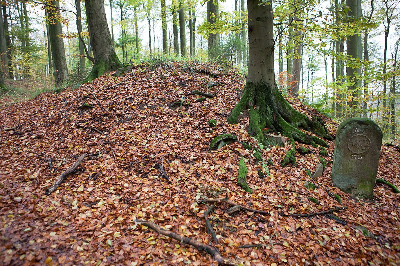
From 1713, the long-unused rampart served for several centuries as a boundary between the German principalities of Waldeck-Pyrmont and Lippe.
Lippe’s regional museum investigated the site in 1902 under Otto Weerth and in 1967 under Friedrich Hohenschwert. Timber-post remains examined during the later work helped establish the early date of the fortification. Excavations by Carl Schuchhardt also produced finds from Herlingsburg.
Remains
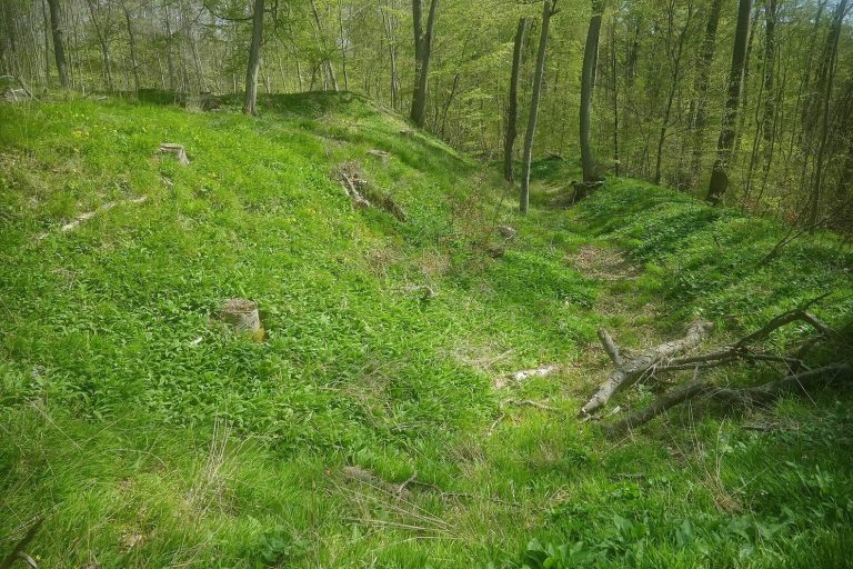
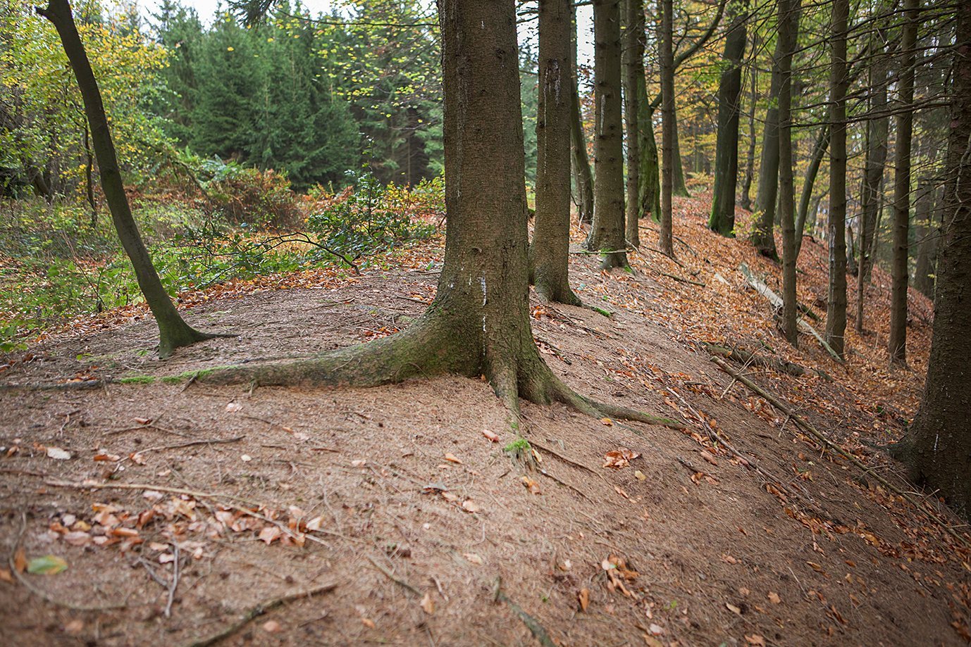
The main enclosure follows the plateau of an isolated hill and covers about 7.2 hectares, or around 7.5 hectares when the outer ward is included. Ditches and earthen banks form the defenses, built with timber posts set into the earthworks and a palisade.
Terrain and approach
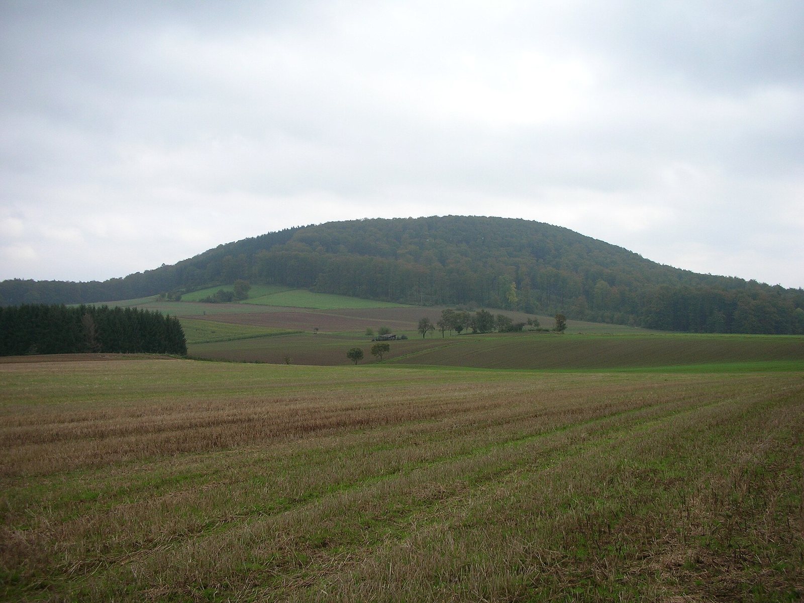
The site occupies a 345-metre hill in the eastern Lipper Bergland, above Eschenbruch and Glashütte. Its south side drops steeply toward the Emmer valley, opposite the Schwalenberger Wald. The eastern slope is also steep, while the northern and western approaches are more gradual. The underlying Keuper, a subdivision of Triassic rock formations, includes quartzite sandstone beds; marl forms the steep slope toward the Emmer valley, where several springs occur.
Ramparts and entrance
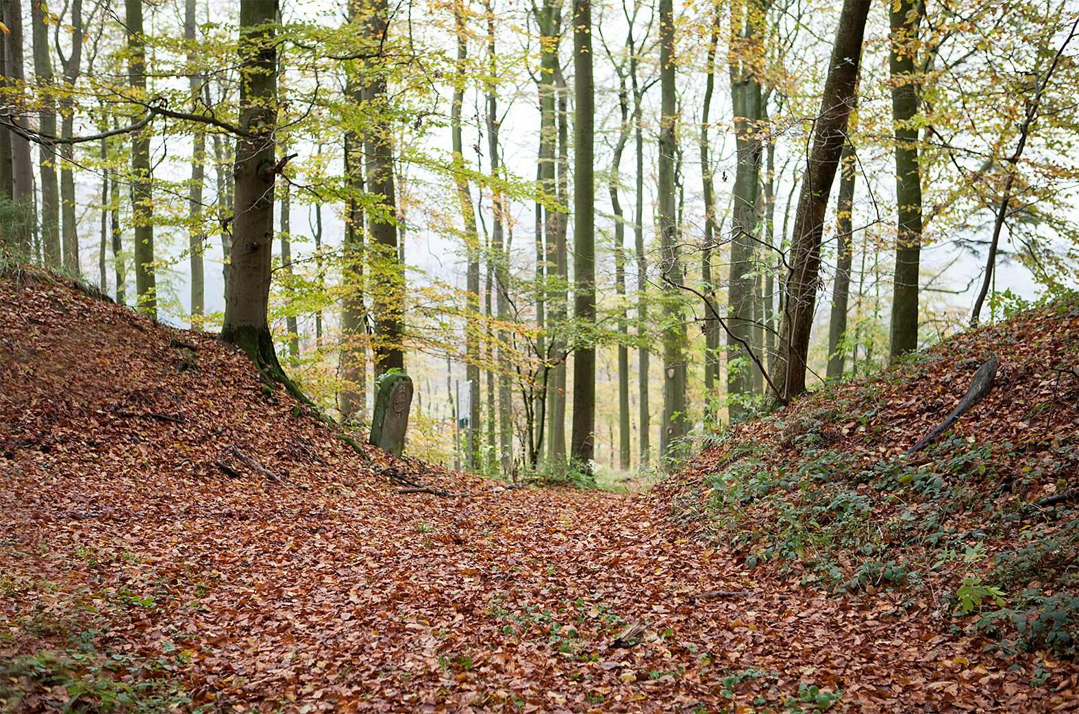
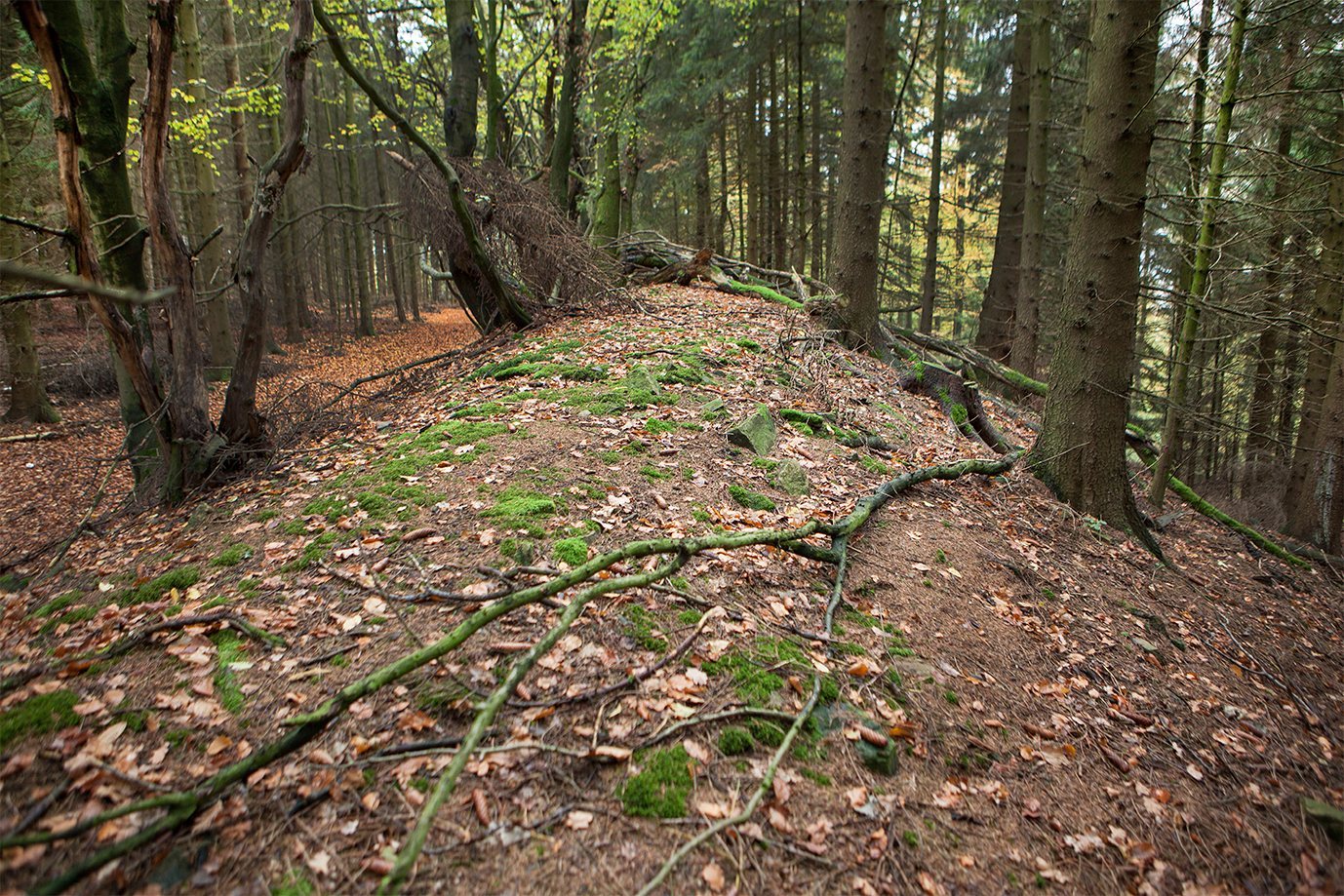
The ramparts reach up to four metres high. The main rampart had timber walls along both its inner and outer faces. A single gate on the north side is protected by outer banks and terraces below it. Projecting defensive earthworks and traces of paths southwest of the ring rampart indicate an approach that broadly follows the line of forestry tracks.
Southern terraces and water
Terraces on the southern slope are bordered by a low outer bank and have been interpreted as pasture for the settlement’s inhabitants. Several hollows in this area mark springs. A well also supplied water, and medieval pottery was found inside it.
Archaeological finds
Excavations recovered numerous spindle whorls and pottery sherds. Much of the pottery is thick-walled, made from finely prepared clay, and finished with a fine clay wash that gives its surface a leather-like appearance. Less common fine ware has very thin walls, a black body, and a polished surface. Decoration includes irregular strokes and impressions resembling barley grains.