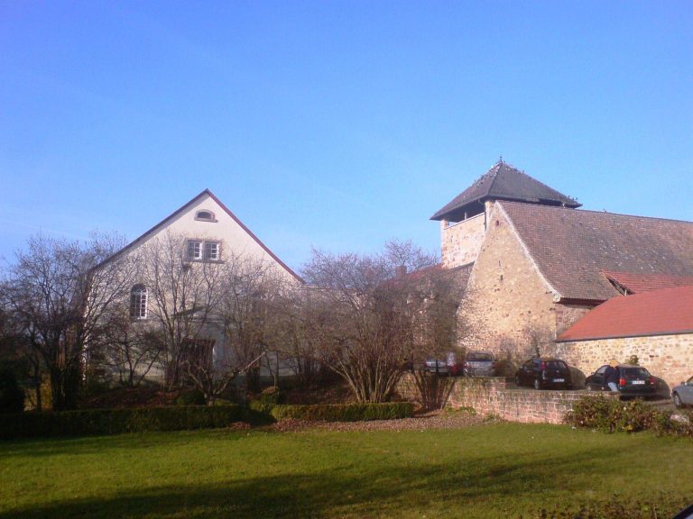
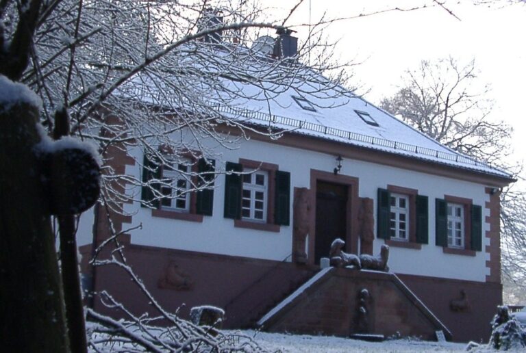
Heidenmauer in the Palatinate: A Celtic Hillfort
Site at a Glance
- Popularity
- Medium
- Country
- Germany
- Primary era
- Iron Age
- Eras represented
- Iron Age
- Civilizations
- Celtic
- Site type
- Settlement
On this page16 sections
History
Celtic foundation and abandonment
The Heidenmauer in the Palatinate is a Celtic hillfort near Bad Dürkheim, Germany, established around 500 BC near the end of the Hallstatt period, one of central Europe’s successive Iron Age periods. The community that built it is not identified by name. Heidenmauer means Heathen Wall, reflecting a folk habit of attributing ancient structures generally to heathens.
The settlement was occupied for about one generation, or 30 to 40 years. Its inhabitants obtained pottery through trade with Upper Italy and especially Greece. Early in the succeeding La Tène period, Greek trade routes shifted toward the Iberian Peninsula and the islands of the western Mediterranean. The settlement may consequently have lost its suppliers. From about 450 BC, the fortification was dismantled in stages, probably to prevent a rival group from using it. The circumstances are consistent with a peaceful abandonment rather than destruction in conflict.
Roman reuse
In the fourth century AD, the Romans quarried a small section of the ring wall. They had previously used the nearby Kriemhildenstuhl as a quarry.
Investigation and interpretation
After the territories west of the Rhine became part of the Kingdom of Bavaria following the Congress of Vienna, Bavarian surveyors took notice of the hillfort. The first investigations took place in 1874–75 under Christian Mehlis, then a student who later taught history and ancient languages.
Hans Schleif directed excavations from 1937 to 1939 for the Ahnenerbe, an organization associated with the SS that sponsored research. The work ended with the outbreak of the Second World War. Schleif sought a Germanic sanctuary and may have mistaken a Roman marking in the Kriemhildenstuhl quarry for a swastika.
From 2004 to 2006, the archaeological monument-conservation authority in Speyer excavated the site as part of the Early Celtic Princely Seats research program, led by Thomas Kreckel. The project examined connections with nearby Celtic remains, especially those on the Limburg plateau about two kilometres southwest, across the Isenach. It tested the idea that the plateau had prompted settlement at the Heidenmauer. Celts had occupied the plateau before and through the Roman occupation of the first century BC.
Remains
Fortification and landscape
The hillfort occupies the summit and southeastern slope of the Kästenberg, a southern spur of the Teufelsstein in the Haardt, on the eastern edge of the Palatinate Forest. It lies about one kilometre northwest of Bad Dürkheim, roughly 170 metres above the town. The Isenach follows the southern foot of the slope, cutting through the mountain barrier as it enters the plain. The site averages about 286 metres above sea level; the northwestern summit reaches 297 metres, while the former eastern gate stands at about 260 metres.
A ring wall roughly 2.5 kilometres long enclosed 26 hectares. The enclosure extends about 700 metres from north to south and around 600 metres from west to east. Its curved line runs from west through north to east, meeting a straighter southern stretch at an almost right-angled point.
Ring wall
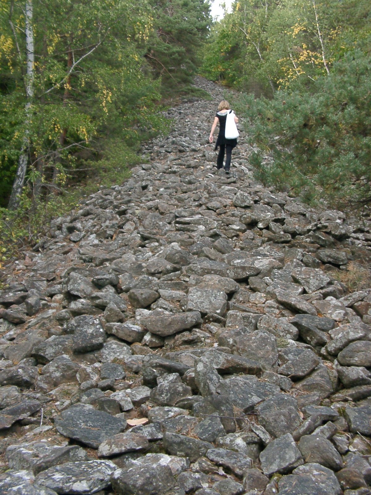
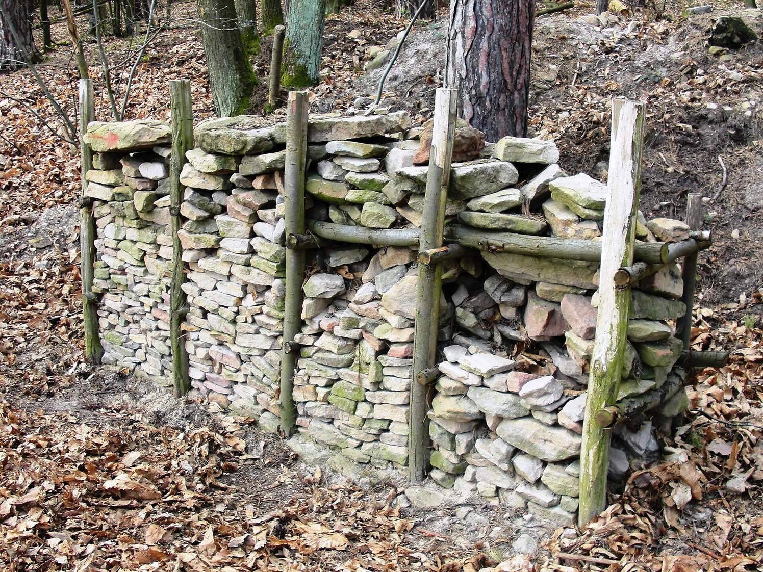
The wall was built from stone around a timber framework. Upright posts and crossbeams supported a filling of rubble laid without mortar. Smooth stone faces were turned outward, and most gaps were packed with sand. The timber has largely decayed, leaving stonework and a few traces of wood. The surviving rampart measures 15 to 20 metres thick at its base, narrows to three or four metres at the crest, and stands between three and ten metres high.
Eastern gate
At the eastern meeting point of the curved and straighter wall sections, a gate opened through a passage about seven metres wide and nine metres long. A line of stones divides the passage into two lanes. The entrance was probably roofed by a wooden structure.
Possible tower position
About 80 metres south of the gate, above the Kriemhildenstuhl quarry, stones set inward from the wall line may mark a projecting defensive position. The arrangement may also indicate that a wooden tower stood above the wall. The location looks across the Rhine Plain and toward the entrance to the Isenach valley.
Ditch
A ditch follows the northwestern wall along the upper hilltop, at elevations of about 285 to 300 metres. Nearly 500 metres long and up to 15 metres wide, it increased the height between the flatter summit ground and the wall crest. At the enclosure’s northernmost point, it turns almost at a right angle toward the northeast, descends the slope, and ends after a little more than 100 metres. Its course carried heavy rainwater downhill and helped protect the wall from being undermined.
A spring rises in the northern part of the enclosure. Its overflow may have drained into the northeastern end of the ditch. The hillfort was probably mostly treeless during its occupation and was deliberately reforested in the twentieth century.
Settlement and finds
Domestic remains
Numerous mounds of different sizes lie within the enclosure and are thought to mark former houses. An exposed patch of floor consists of beaten clay. Finds from across the enclosed area indicate that settlement extended over much of the site.
Pottery, tools, and production
Pottery is abundant, with most vessels made by hand; a small number show traces of wheel-turning. Other finds include iron chopping knives and pyramidal stones used to grind grain. These were set point-down in the ground to form a base for grinding. The finds also indicate dairying and iron smelting.
Nearby features and marker
Kriemhildenstuhl and Teufelsstein
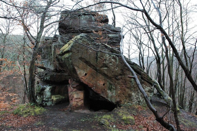
The Kriemhildenstuhl quarry lies below the former entrance. A few hundred metres away, a monolith on the summit of the Teufelsstein is associated with religious rites in the Celtic period.
Marker stone
Marker stone 280 stands at the northwestern edge of the enclosure. Erected by the Palatinate Forest Association, a regional hiking and conservation organization, it bears an inscription identifying the Heidenmauer and the Hallstatt–La Tène period.
The ditch is popularly called Wurstgraben, or Sausage Ditch. Local legend linked the name to Hans von Trotha, a lord of Bertwartstein also known as Hans Trapp, who supposedly concealed a large store of sausages there. He almost certainly never visited the hillfort, which had been in ruins for about two millennia by his time.