Heidenlöcher: A Carolingian Refuge Fortress near Deidesheim

Site at a Glance
- Rating
- 4.6
- Popularity
- Low
- Country
- Germany
- Primary era
- Medieval
- Eras represented
- Medieval
- Civilizations
- Carolingian
- Site type
- Military
- Remains
- Fort
On this page6 sections
History
Heidenlöcher is the ruin of a late Carolingian hilltop refuge fortress near Deidesheim in Germany, probably established in the ninth century and possibly dating instead from the Ottonian period. The Carolingian period belonged to the Frankish dynasty associated with Charlemagne and his successors, while the Ottonian period followed in the East Frankish and early German kingdom during the tenth and early eleventh centuries. The fortress was built as a place where nearby inhabitants could seek shelter during danger, rather than as a permanently occupied residence.
Foundation and medieval purpose
The fortress was probably created through compulsory labor to protect the surrounding population from wandering Normans. These Scandinavian seafarers and raiders attacked and migrated across parts of Europe during the early medieval period. The original name of the stronghold has been lost, and it remains uncertain whether the site was ever used fully for its intended purpose. Heidenlöcher is generally understood to have served as a refuge rather than a permanently inhabited settlement.
The name Heidenlöcher, meaning “pagan holes,” appeared only in the eighteenth century. It reflected the belief that the ruins had been associated with pagans, while the second part of the name also referred to hollows in the forest floor created by collapsed buildings. No violent destruction has been established. The present ruined condition instead resulted from the decay of archaeological remains exposed during the early nineteenth century.
Rediscovery and interpretation
Local antiquarian enthusiasts brought Heidenlöcher to wider public attention during the 1820s. In 1907 and 1908, Friedrich Sprater led excavations for the Historical Museum of the Palatinate in Speyer. Sprater, an archaeologist associated with the museum, initially interpreted the fortress as a Celtic settlement. Later research placed its construction more than a thousand years after that earlier attribution, identifying the remains with the Carolingian or possibly Ottonian period instead.
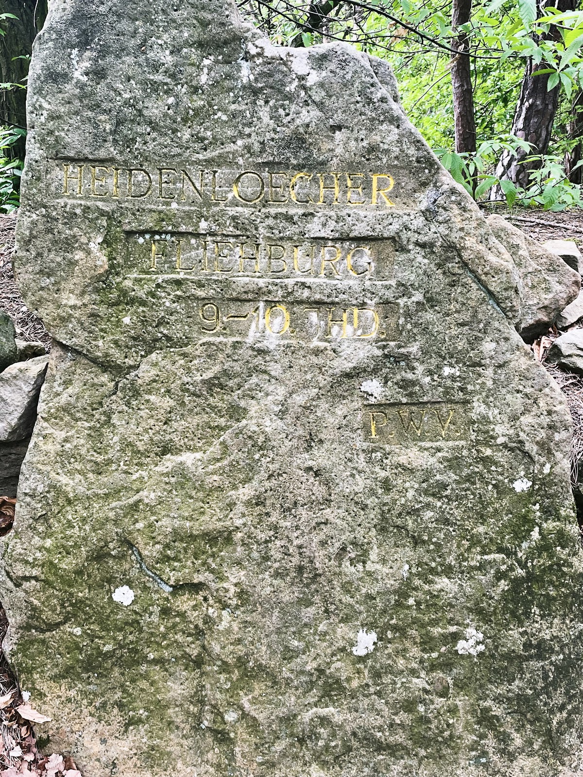
The site’s extensive internal construction continues to raise questions about how it was used. Its layout suggests preparation for a substantial refuge population, yet the evidence has not established permanent occupation. Heidenlöcher was marked in the early twentieth century by Ritterstein 260, a numbered commemorative or orientation stone used to identify historically notable places in the Palatinate Forest. The ruins are protected as a cultural monument under the monument-protection law of Rhineland-Palatinate. Archaeological investigation and deliberate collection of finds require official permission, while accidental discoveries must be reported to the monument authorities.
About 350 metres east-southeast of Heidenlöcher, on the Kirchberg closer to Deidesheim, stands the late Gothic Michaelskapelle, a chapel dedicated to Saint Michael. Built in 1470, it was destroyed in 1794 during the French Coalition Wars, when revolutionary France fought successive coalitions of European powers. The chapel remained a ruin until it was rebuilt in 1952.
Remains
Heidenlöcher occupies the summit of the Kirchberg at approximately 344 metres above sea level, about 2.5 kilometres northwest of Deidesheim. The hill lies in the Haardt, the eastern ridge of the Palatinate Forest, and is surrounded by woodland dominated by pine trees, heather, and bilberries. The forest was formerly used in various ways by winegrowers from the foothills. Within this setting, the surviving remains form an oval enclosure bounded by a ring-shaped outer wall and divided internally by lanes and building traces.
Enclosure and defenses
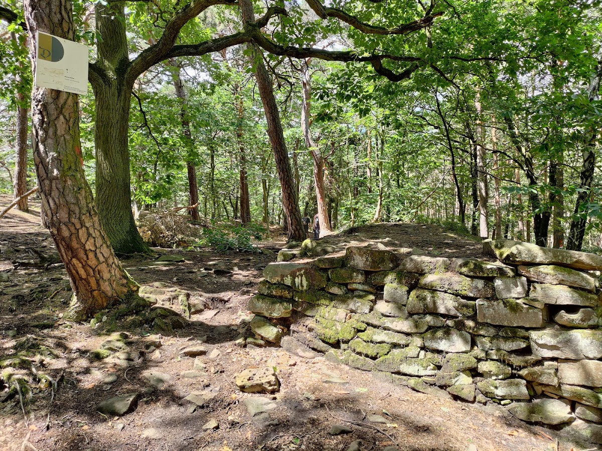
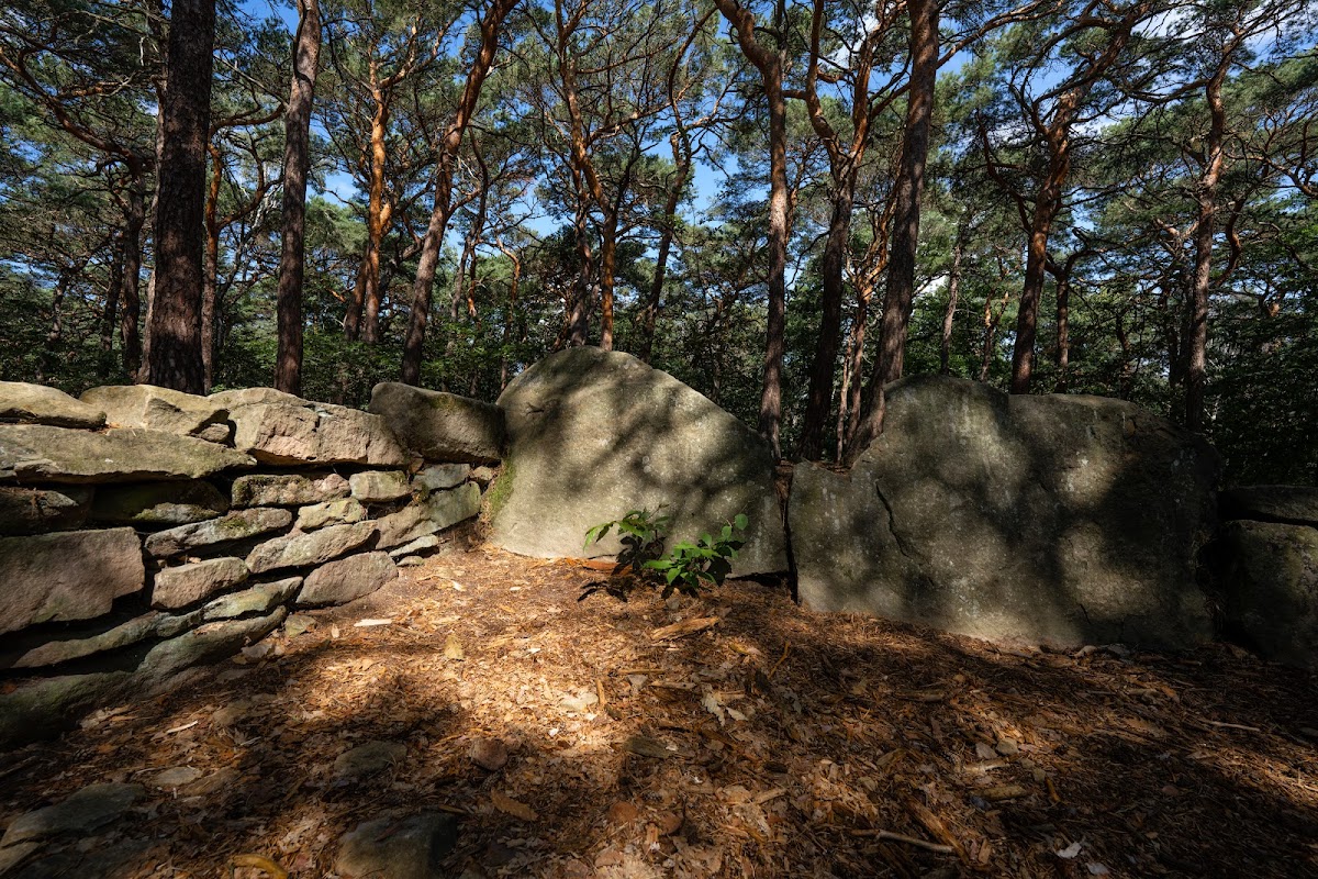
The ring wall enclosed roughly 1.3 hectares and extended about 150 metres from west to east and slightly more than 100 metres from north to south. Its circuit measured approximately 450 metres. The outer face stood about 2.5 metres high. Two parallel wall components gave the fortification a total thickness of about 3 metres, and both were built from dressed natural stone. A lower internal walkway ran along the wall, while a wooden palisade, a barrier of upright stakes, raised the overall defensive height to at least 3.5 metres.
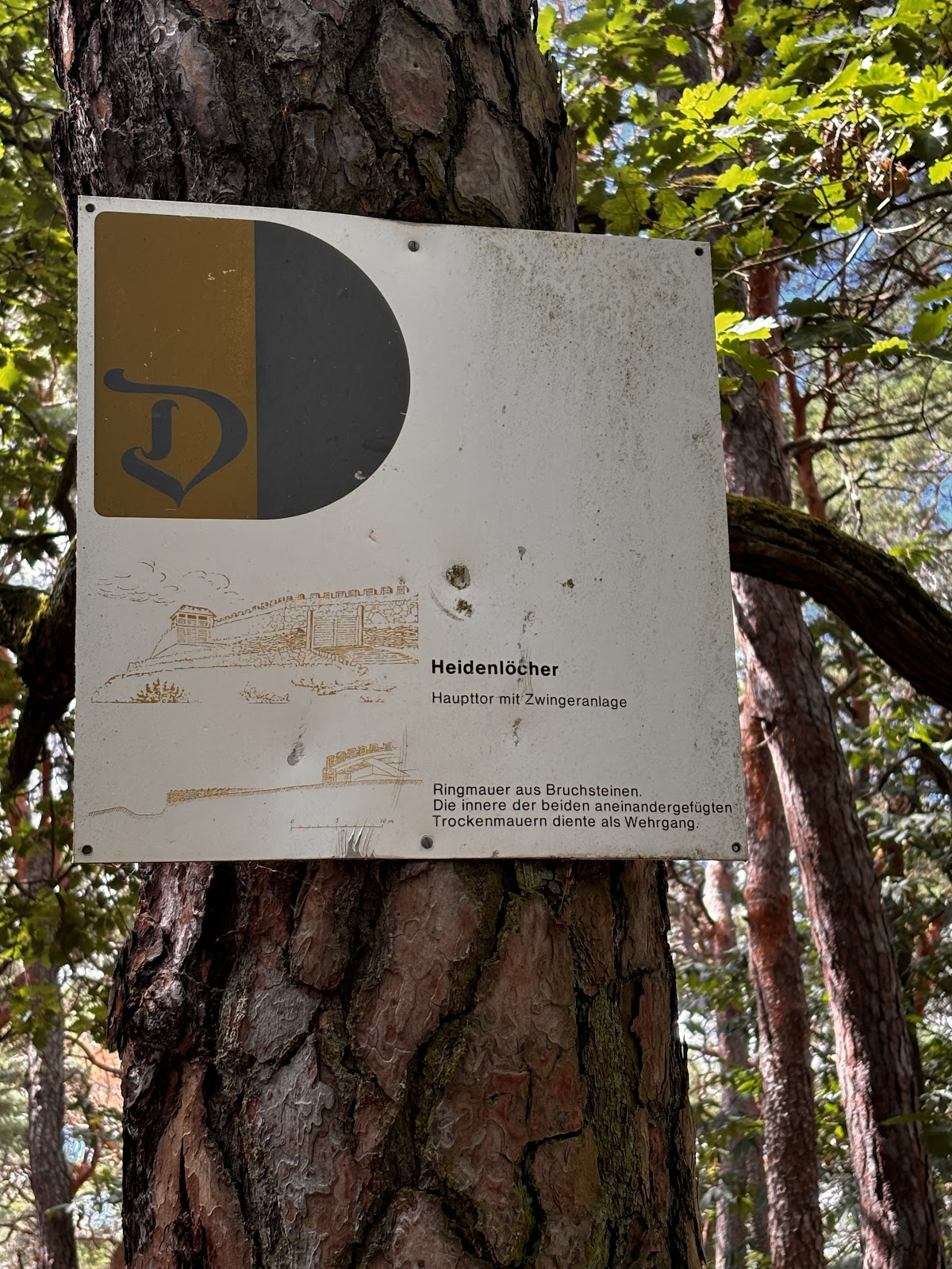
Gates occupied the northern and southern sides of the enclosure. The southern gate formed the principal entrance. At the northern gate, the space between two lines of fortification created a defended entrance passage known as a zwinger. An outer defensive work added a ditch about 5 metres wide, reinforced by a palisade wall. The surviving fabric is chiefly fragmentary ruins and wall remains, but these elements establish the main defensive outline of the hilltop refuge.
Interior buildings and routes
Approximately 80 to 85 single-storey buildings occupied the interior. Most were pit houses, small structures partly sunk into the ground, and generally had no cellar. With one major exception, each building consisted of a single room measuring about 10 to 20 square metres. Their ground plans were rectangular or nearly square, while the wall lines often met at irregular angles. The walls were dry-stone constructions, made by fitting stones together without mortar, using rubble stone and sometimes large fieldstones. Timber framing or wooden beams probably rose above them and supported the roofs.
One building differed substantially from the smaller structures around it. Covering about 80 square metres, it probably served as a place for assemblies. A network of small lanes crossed the settlement, and the southern part preserves evidence of a principal route running beside the inside of the ring wall. Together, the building traces, lanes, and defensive circuit reveal an organized refuge complex whose surviving remains are now chiefly low walls and fragments.
Nearby sites