Gutenfels Ruins: A Medieval Hill Castle in Switzerland
Site at a Glance
- Rating
- 4
- Popularity
- Very Low
- Country
- Switzerland
- Primary era
- Medieval
- Eras represented
- Medieval
- Civilizations
- Holy Roman Empire
- Site type
- Military
- Remains
- Castle
On this page14 sections
History
The Gutenfels Ruins, near Bubendorf in Switzerland, are the remains of a medieval hill castle founded by the Lords of Eptingen, probably between 1220 and 1250. Pottery finds provide the basis for this estimated date.
Eptingen and Frohburg rule
The castle first appears in a written record in 1303, when Peter von Eptingen, named there as “Guotenuelse,” witnessed documents at Rheinfelden. By 1310, he was recorded as Peter von Gutenfels. The Eptingen family held the castle from the counts of Frohburg as a fief, property held from a lord rather than owned outright.
After Peter’s death in 1325, Johannes von Frohburg reclaimed the fief the following year and pledged it to his father-in-law, Thüring von Ramstein. Finds suggest that Thüring had left the castle, though they do not establish when. Gutenfels may already have been abandoned before the major Basel earthquake of 1356, which destroyed it completely. The castle was never rebuilt.
The ruin and its lands
In 1392, Hans and Ulrich von Eptingen purchased the ruined castle as their own property. Its buildings were gone, but the associated land and rights continued to offer economic advantages. In 1411, the Eptingens sold the ruin, along with those lands and rights, to the city of Basel. Basel established a customs post at a valley narrows, probably in the Reigoldswil valley; traffic through the Fluebach valley was slight.
Excavation and preservation
Hans Martin and an assistant carried out a private excavation in 1936, and the finds they identified were given to the Cantonal Museum of Basel-Landschaft in 1938. Karl Heid began test and partial excavations in 1961, exposed the full ground plan in 1962, and attempted to reconstruct and date the castle. Further work from 1966 to 1969 clarified details. Since 2010, private individuals have maintained the ruin in agreement with the Bubendorf civic community and the cantonal archaeology office, helping preserve the site and limit overgrowth.
Remains
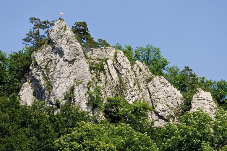
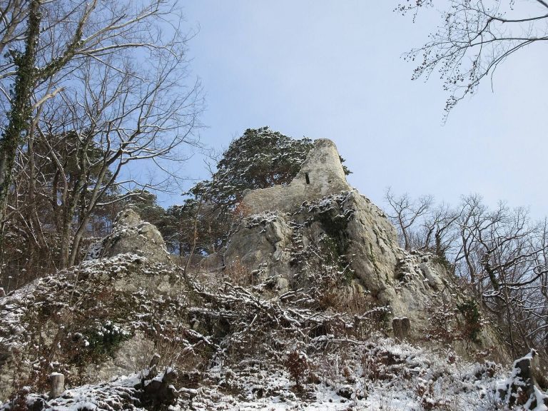
The castle occupied an isolated rock at about 480 metres above sea level in the Fluebach valley, a side valley of the Hintere Frenke. Its roughly triangular plan made use of the terrain and placed an outer fortified area on a levelled terrace below the core castle, which stood on a rocky rise. The surviving remains combine cut-rock features with masonry construction.
Rock setting and natural defenses
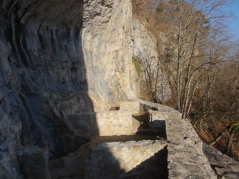
The rock lies north of and below the meeting of the Arxhof stream and the Fluebach. Sheer faces protected its northwest side, while natural hollows to the east and south, formed by rock movement and erosion from the Arxhof stream, separated it from neighboring ridges. The rock has a harder lower layer and a softer, crumbly upper layer. A walkable ledge runs halfway up the northwest side, between the two layers.
Entrance and outer enclosure
Approach and gatehouse
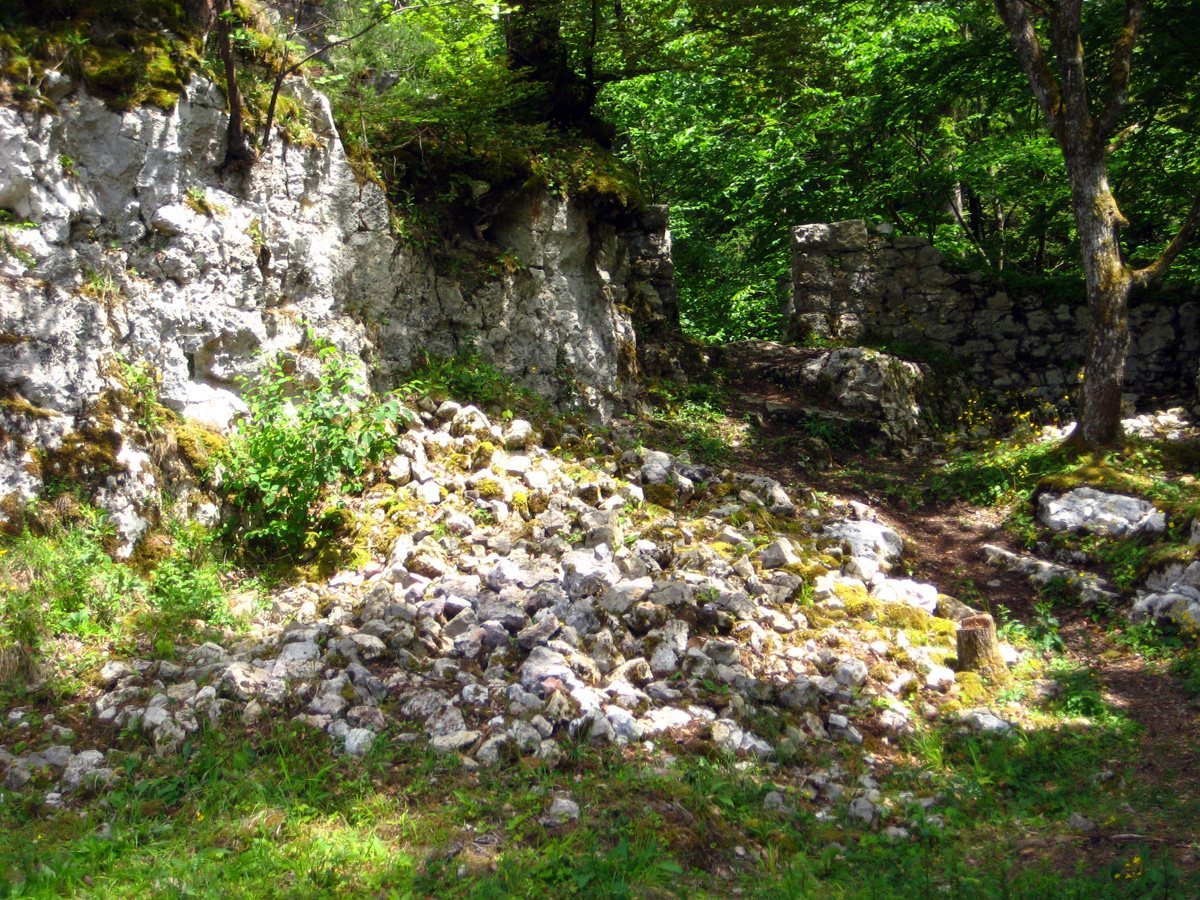
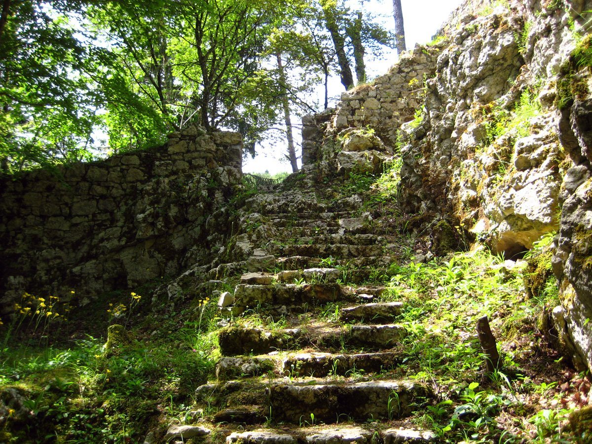
The likely original entrance was on the southeast side. Cut steps climbed from the lower approach toward the outer enclosure, passing the gatehouse, which stood south of the ascent and east of the enclosure wall. Its walls were about 1.3 metres thick, and its irregular interior measured approximately 2.5 by 4 metres. Pottery fragments, animal bones, and a layer of burning were found within its footprint. A narrow gate, about the width of a modern doorway and barely passable by horses, opened onto the lower area.
Outer enclosure
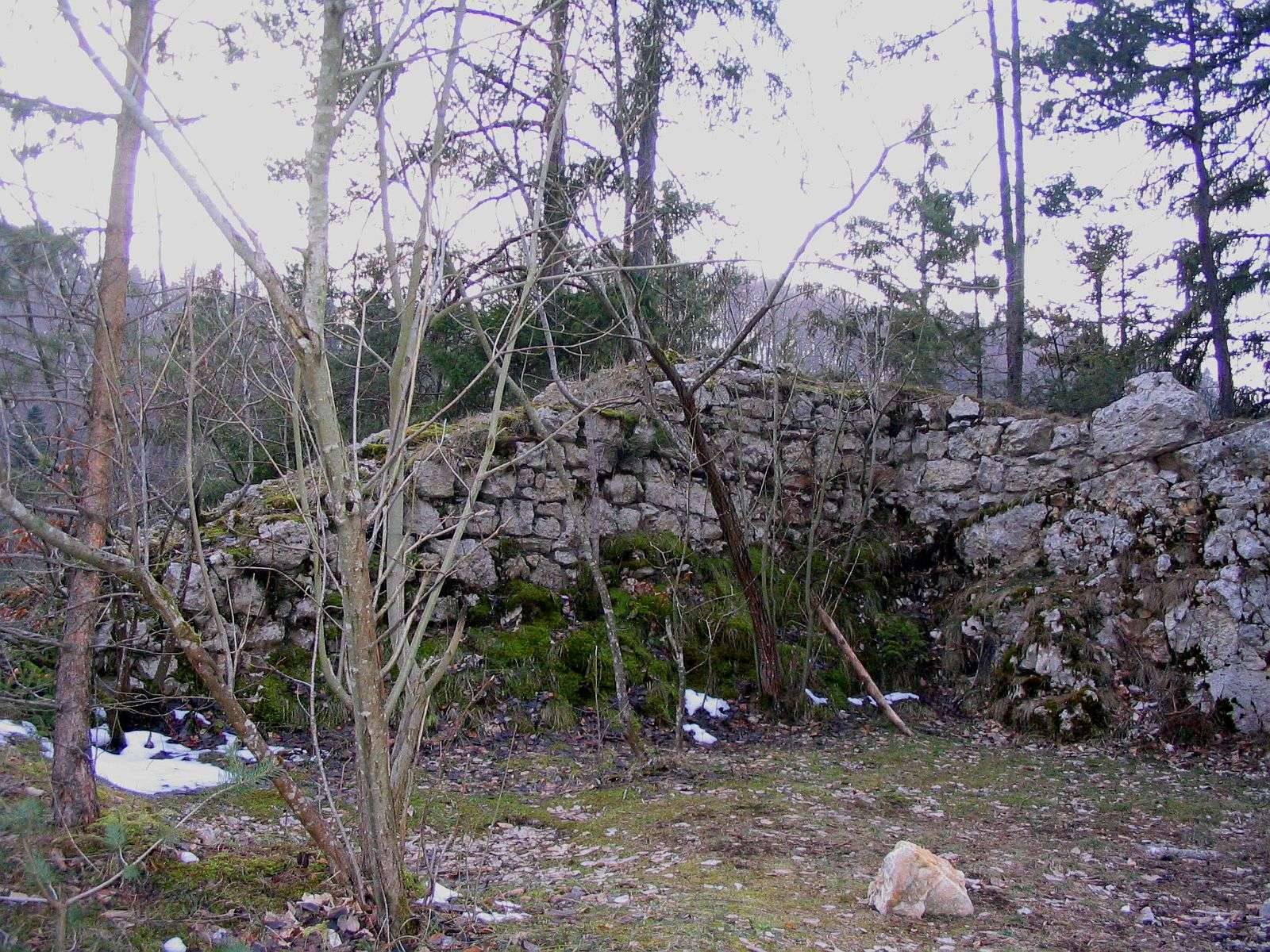
The outer fortified area occupied a lower rock terrace artificially levelled for the purpose. It measured as much as 25 metres long and 15 metres wide. Remains of its enclosing defensive wall, about 1.2 metres thick, survive on the plateau. Excavators also uncovered a rectangular mortared floor, probably intended for a storeroom.
Core castle
Residential tower
The core castle included a rectangular residential tower measuring about 11 by 12 metres, with walls 2.5 metres thick. Much of its foundation was cut into the rock. The masonry was of poor quality, suggesting that the tower probably did not exceed 15 metres in height. It likely had a single-slope roof, a form then used in the region. Tiles from a permanently installed stove indicate that the tower was heated.
Attached structure
A small structure was attached to the tower’s western side. Its purpose is uncertain; it may have supported wooden features such as stairways.
Caves and rock passage
Three caves, formed by stream erosion in the softer upper rock, lie along the northwest ledge; two show signs of enlargement. Their use during the castle’s occupation is uncertain. From the middle cave, an enlarged passage led to an opening known as the “window” in the rocky rise of the core castle. The passage may have served as an escape route.
Water and archaeological finds
A small stream from Arxhof runs beside the castle, and water could have been carried from it. In a military emergency, water from the tower roof may have been collected in wooden vessels. Finds from the castle include numerous pottery fragments and stove tiles, some decorated in raised patterns, as well as horseshoes, nails, a billhook, and a fragment of copper belt ornament. A finely made, gilded copper buckle shaped like a heart and decorated with two horse heads was also recovered. Worked sandstone pieces may have come from door or window frames. Together, the finds suggest that the inhabitants enjoyed a relatively high standard of living for their time.