Funayama Kofun: A Fifth-Century Keyhole-Shaped Burial Mound in Japan
Site at a Glance
- Rating
- 4.3
- Popularity
- Very Low
- Country
- Japan
- Primary era
- Classical
- Eras represented
- Classical
- Civilizations
- Yamato
- Site type
- Burial
- Remains
- Burial Mound
On this page7 sections
History
Funayama Kofun is a large keyhole-shaped Japanese burial mound in Toyokawa, Japan, probably constructed during the latter half of the fifth century in the middle Kofun period. Its three-tier form and exceptional scale place it among the highest-ranking burial mounds in the East Mikawa region. The tomb also reflects the spread of cultural practices associated with powerful groups in the Kinai region, the historical area around the later imperial capitals in central Honshu.
Construction and Regional Power
A kofun was a large Japanese burial mound through which powerful regional and political authorities expressed status. Funayama Kofun appeared suddenly as a large tomb within the Toyokawa River system. Its food-offering ritual objects have been interpreted as evidence of a relationship with the Yamato polity, the early political center in the Kinai region that influenced many parts of the Japanese archipelago during the Kofun period. The mound has therefore also been understood as a sign of new cultural practices becoming established in the area.
The individual buried inside the mound is unknown. One theory connects the tomb with Unakami no Sukune, described as the first kuni no miyatsuko, or locally based provincial officeholder representing central authority, of Ho during the reign of Emperor Yuryaku, a fifth-century Japanese emperor. This identification remains a theory rather than an established fact.
Funayama Kofun is the largest known kofun in East Mikawa. Its regional standing is based on both its dimensions and its three-tier construction. A competing reconstruction of Koyama No. 1 Kofun would make that monument larger across the combined East and West Mikawa regions, but Funayama remains a major tomb within the East Mikawa landscape.
Later Regional Setting and Alteration
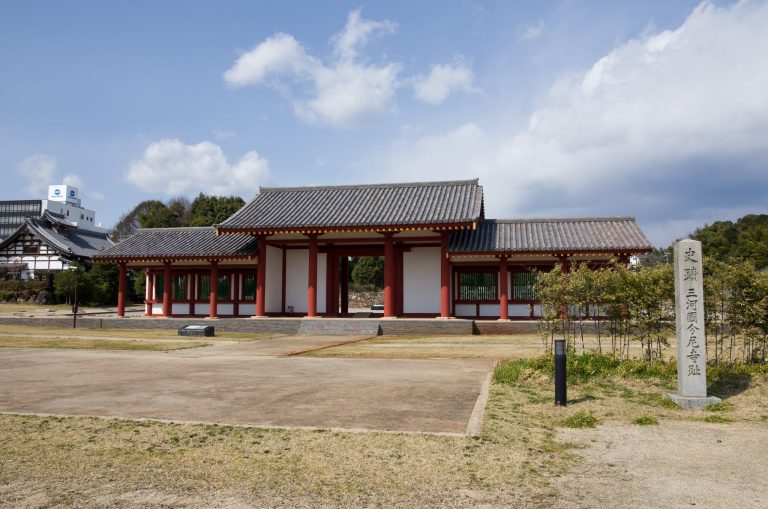
A smaller square mound called Funayama No. 2 stood north of the main tomb and is regarded as a possible satellite mound, meaning a secondary burial mound associated with a principal tomb. It was investigated in 1964 and later disappeared. The area subsequently lay along the Hime Highway, a byway of the Tokaido. The nearby remains of the Mikawa provincial government office, Mikawa Provincial Temple, and Mikawa Provincial Nunnery show that the surroundings also became a regional center under the ritsuryo system, an early state structure organized through administrative offices, legal codes, provincial divisions, and taxation.
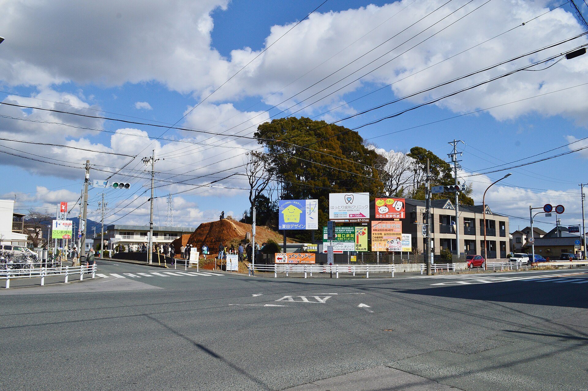
The mound was altered in the twentieth century. Construction of the Hirao Highway in 1929 partly cut away the front section, while soil extraction before the Second World War reduced the rear circular section. In 1945, an air-raid shelter was excavated near the top of the constricted section and produced iron artifacts.
Investigations continued through successive public works and archaeological surveys. Toyokawa’s Board of Education surveyed the site in 1951, followed by a prefectural important-archaeological-site promotion survey in 1970. Further investigations accompanied Hirao Highway widening in 1981 and took place at the foot of the front section in 1984 and 1987. Excavations followed construction of a credit union building in 1988, investigations on the southern side of the rear section in 2004 and the southern side of the front section in 2005, and work connected with apartment construction in 2008. Excavations in 2015 examined areas planned for road widening and preservation, while a 2017 investigation studied the mound’s earthen construction during further road widening.
The Funayama Kofun area was designated a Toyokawa municipal historic site in 1965. This designation preserved the mound’s place within the historical interpretation of Toyokawa, while repeated investigations clarified its form, construction, and relationship to wider regional developments.
Remains
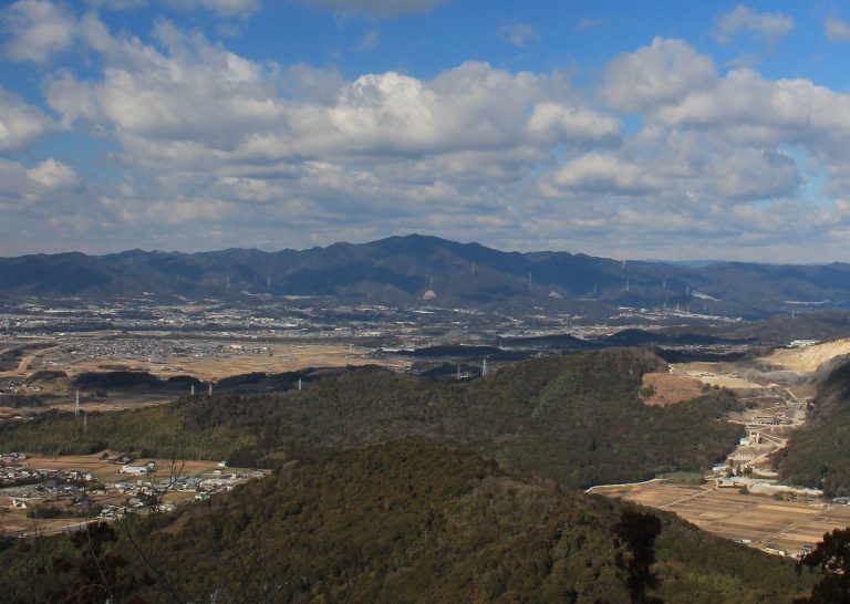
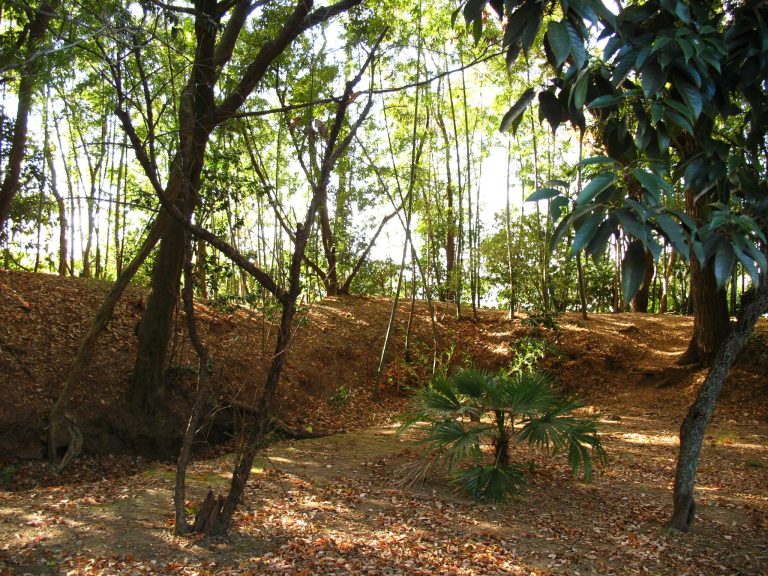
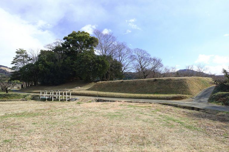
Funayama Kofun occupies the basal area of the Shiratori Plateau, a diluvial terrace between the Nishi-Kosegawa and Otowa rivers. It is oriented east-west, with the roughly trapezoidal front section facing west and the circular rear section extending eastward. The mound is approximately 95 meters long. The rear section is about 56 meters in diameter, the front section about 65 meters wide, and the mound approximately 6.5 meters high. A moat surrounded the earthwork.
Mound Form and Surface Features
Both the front and rear sections were built in three tiers. The exterior was covered with fukiishi, stones laid over a mound to protect its earthwork and shape its visible surface. Cylindrical haniwa, clay objects placed on or around burial mounds, were also fitted across the mound. The surviving evidence of these elements presents Funayama as a carefully finished monument rather than a simple earth pile.
Platforms project from both sides of the narrow junction between the front and rear sections. The southern platform measures approximately 8.3 by 4.0 meters, while the northern one measures about 8.5 by 4.5 meters. They are nearly symmetrical, and rows of cylindrical haniwa were identified on their upper surfaces.
Ritual and Burial Features
The southern platform yielded objects associated with food-offering rituals. These include basket-shaped pottery, small vessels with raised feet, and clay objects shaped as food. Their presence provides physical evidence for ceremonies connected with the mound and forms part of the basis for interpreting Funayama Kofun’s relationship with the Yamato polity.
Several haniwa coffins were recovered from the mound. Two were found at the northern end of the front section, and another probably came from the southern platform. A reconstructed model of one coffin is displayed at the site. Iron objects recovered during the 1945 air-raid shelter excavation, together with fragments of cylindrical haniwa, pottery, and other clay objects, make up further finds from the mound. The burial facility itself has not been identified.
Earthen Construction
The 2017 construction study showed that the mound contains two kinds of natural soil, black and yellow-brown. The black soil included blocks from the surface leaf-mold layer, each weighing about 25 kilograms. This method is known as soil-block stacking, surface-soil replacement, or the earthen-bag and soil-block method. No actual bags were identified at Funayama Kofun.
Construction began with a ground plan laid out on the site. Soil was dug from around the intended mound and moved inward to create a level surface about 50 centimeters high, forming the first tier. Earthen ridges were then raised near the center and sides of this surface. About 90 centimeters of fill was placed between and over the ridges to create another level, which was raised by a further approximately 40 centimeters for the second tier.
For the third tier, a ridge was formed near the center of the second level and about 1.1 meters of soil was placed around it to create another platform. This produced the primary mound. Additional fill widened it into a secondary mound, and a final mound was built in a similar manner, with bank-like fill near the summit. The completed earthwork was then faced with stone and equipped with cylindrical and morning-glory-shaped haniwa.
The soil-block technique is known from the Kinai region and was used locally at leading tombs. The banked, tiered construction method is chiefly associated with western Japan. Their combination at Funayama Kofun has consequently been interpreted as evidence of influence from powerful Kinai groups.