Friedberg Castle: Medieval Ruins in Meilen, Switzerland
Site at a Glance
- Rating
- 4.3
- Popularity
- Very Low
- Country
- Switzerland
- Primary era
- Medieval
- Eras represented
- Medieval
- Civilizations
- Holy Roman Empire
- Site type
- Military
- Remains
- Castle
On this page8 sections
History
Friedberg Castle is a medieval hillside castle ruin in Switzerland, above Meilen and Lake Zurich. Archaeological finds indicate that it was built around 1200, although little of its history is known. The site occupied a defensible position above the Dorfbach ravine and later became associated with noble and urban lords in the Zurich region.
The Regensberg lords
During the thirteenth century, the Regensberg family administered large areas on the right bank of Lake Zurich. In 1306, Lütold VII of Regensberg referred to Friedberg as “our castle.” The Regensbergs probably sold the castle for financial reasons to Götz Mülner of Zurich, a wealthy knight. By 1321, he was using the name Mülner of Friedberg.
Expansion and decline
The concentration of archaeological finds from the first half of the fourteenth century points to an expansion of Friedberg under its new lords. The Mülner family later abandoned its seat at Meilen and subsequently sold the associated bailiwick rights. A bailiwick was an administrative jurisdiction governed by a bailiff, who exercised delegated judicial, fiscal, or governmental authority.
Around 1390, the Zurich citizen Jakob Bletscher bought Friedberg. It is not known whether he lived at the castle, but its gradual decline appears to have begun by this period. Since 1593, the castle area and the neighboring farmstead have been privately owned.
Agricultural conversion and archaeological work
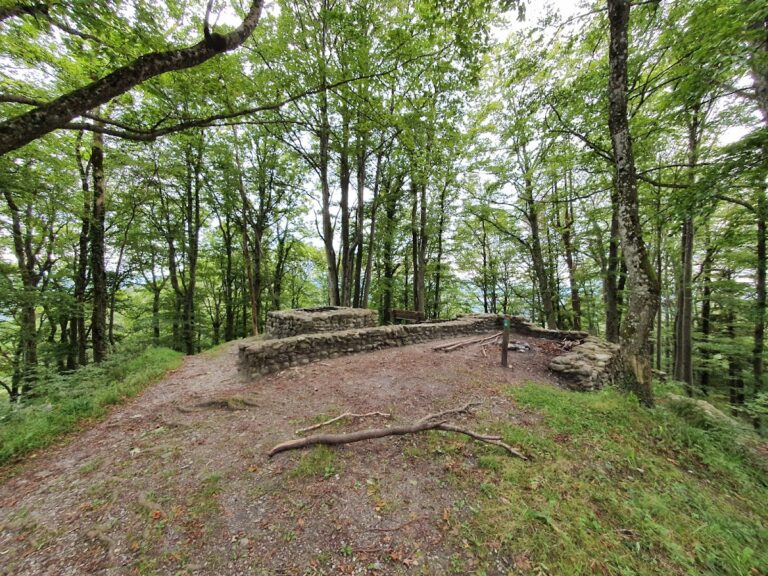
At the beginning of the twentieth century, the castle area and its ditches were leveled and converted to agricultural use. Some wall remains survived on the side overlooking the ravine. Between 1976 and 1979, the vanished walls were uncovered and extensive archaeological excavations were carried out. Friedberg is listed as a Swiss class B cultural property of regional significance.
Remains
Castle plateau and defenses
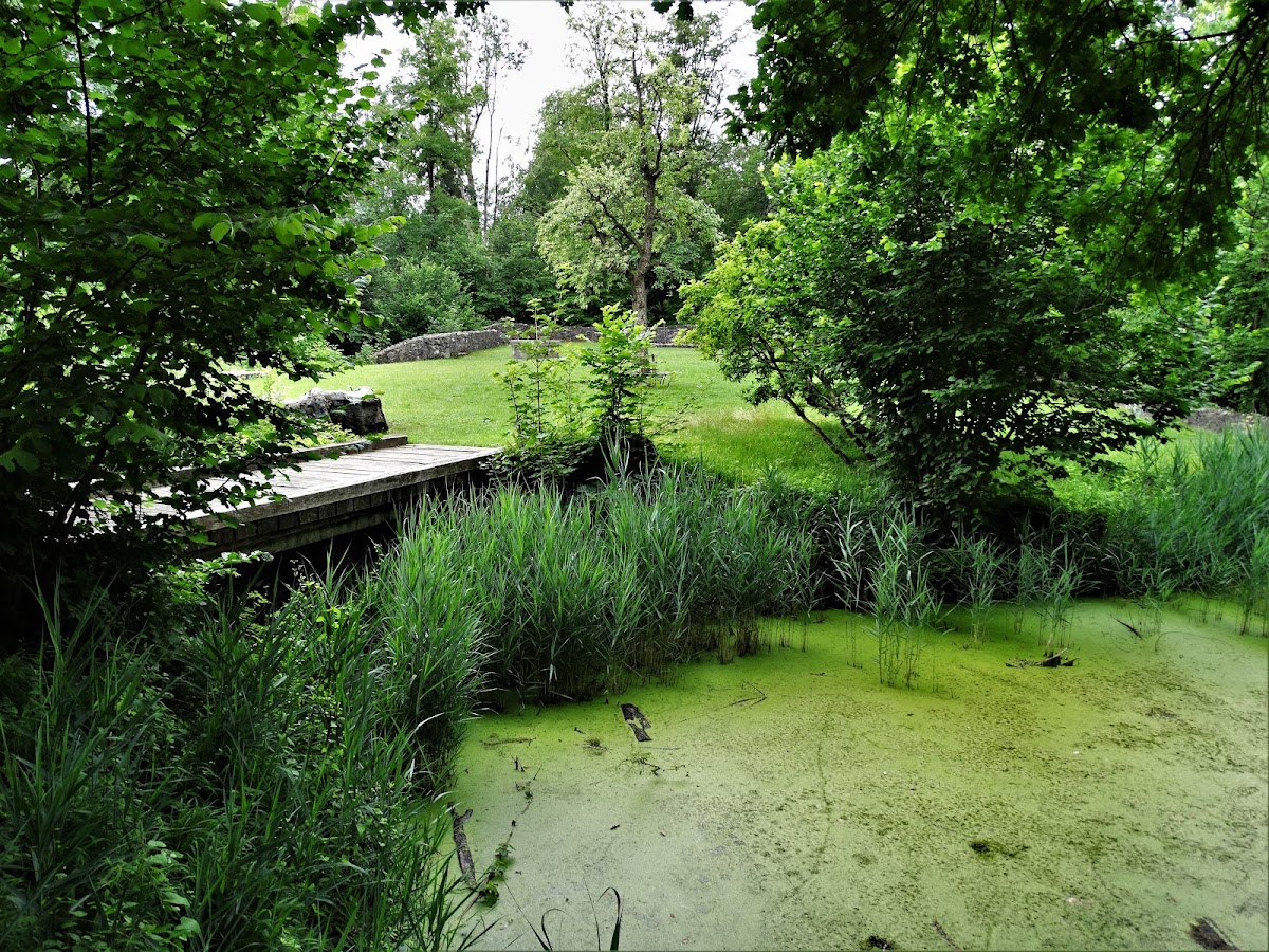
Friedberg lies at about 540 meters above sea level in a small hollow above Meilen. The ground descends steeply west and south into the Dorfbach ravine, while a formerly natural shallow ditch separated the castle plateau from a nearby hamlet on the east. The plateau measured approximately 50 meters in length and 30 meters in width. A surrounding wall followed the lake-facing part of the enclosure, where its foundations establish the course, while the rest of the wall line remains uncertain. On the north, a castle ditch was cut into sandstone. It was nearly 10 meters wide and about 4 meters deep, with almost vertical slopes. Deposits of sand and lake marl show that water was retained there.
Water supply
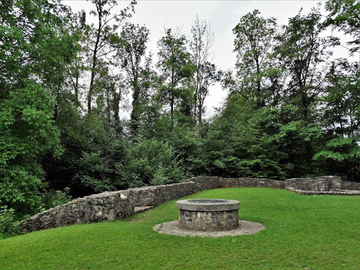
A 28.64-meter-deep draw well was filled with debris to its rim when it was discovered in 1976. It was excavated by hand, and its well curb was rebuilt. A draw well is a deep well from which water was raised manually. The site also includes a cistern, a tank or reservoir used to collect and store water.
Archaeological finds
Excavations produced stove tiles, pottery sherds, spindle whorls, fittings, and arrowheads, together with wooden everyday vessels, well-preserved leather pieces, and two small copper ladles. They also recovered a crooked wooden blowing horn approximately 60 centimeters long. Dating to the first half of the fourteenth century, the horn is regarded as one of the oldest wind instruments in Switzerland.