Fort Thüngen: An Austrian Fortification in Luxembourg


Site at a Glance
- Rating
- 4.5
- Popularity
- Medium
- Country
- Luxembourg
- Primary era
- Early Modern
- Eras represented
- Early Modern, Modern
- Civilizations
- Duchy of Luxembourg, German, Habsburg, Holy Roman Empire
- Site type
- Military
- Remains
- Fort
On this page6 sections
History
Fort Thüngen is an eighteenth-century Austrian fortification in Luxembourg City, Luxembourg, built as part of the city’s historic defenses. Construction began in 1732 around the earlier Redoute du Parc, a detached defensive work attributed to the French military engineer Vauban, whose designs influenced fortifications across Europe.
Austrian and Prussian Expansion
The fort took its name from Adam Sigmund von Thüngen, an Austrian fortress commander and baron. It remained an Austrian fortification during the eighteenth and nineteenth centuries before the Prussians, the rulers of a major German kingdom and European power, expanded it in 1836. Further strengthening followed in 1860.
Dismantling and Reconstruction
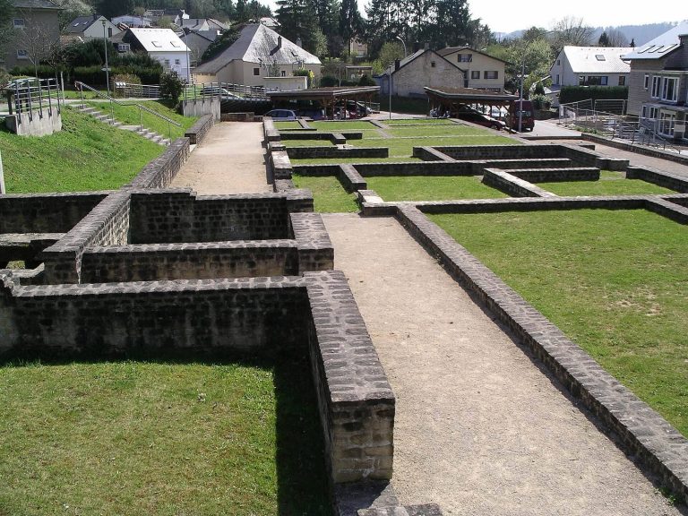
The 1867 Treaty of London, an international settlement that required Luxembourg’s fortress to be dismantled, led to the fort’s demolition between 1870 and 1874. Its three round towers and the foundations of the remaining structures survived. The foundations were uncovered again in 1991, while the exterior walls were fully reconstructed during the 1990s. Work had already begun by 1990 alongside preparations for the nearby Musée d’Art Moderne Grand-Duc Jean, known as MUDAM.
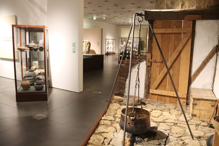
Architect Ieoh Ming Pei proposed incorporating the fort into the modern-art museum, but the citizen initiative Fanger wech vun den Dräi Eechelen successfully opposed the plan. The Fortress Museum of Luxembourg, or Musée Dräi Eechelen, opened in July 2012 after lengthy delays connected with planning and financing. MUDAM and the Musée Dräi Eechelen now occupy the surrounding fort area.
Remains
Fort Thüngen stands on the slope of Kirchberg within Parc Dräi Eechelen. Its defensive layout included a deep ditch around the fort and an underground, rock-cut trench measuring 169 metres, which connected it with Fort Obergrünewald. The surviving foundations define the footprint of the rest of the fort, while the exterior walls seen today were reconstructed in the 1990s.
The Three Towers
Three round towers form the most recognizable surviving part of the fort. Each tower carries an oversized acorn at the peak of its roof. These three roof ornaments gave the fort its alternative name, Dräi Eechelen, meaning “Three Acorns,” also rendered as Trois Glands. Together with the foundations and reconstructed walls, the towers preserve the fort’s principal physical identity.
Position Above the Alzette Valley
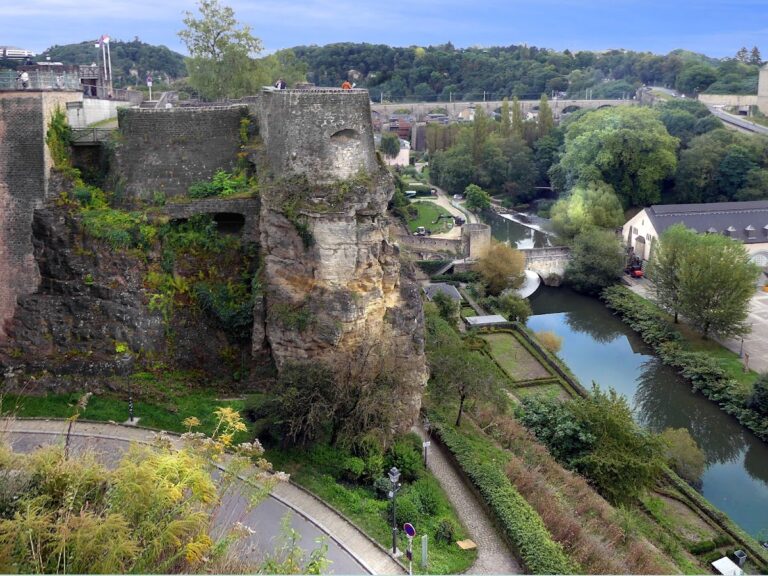
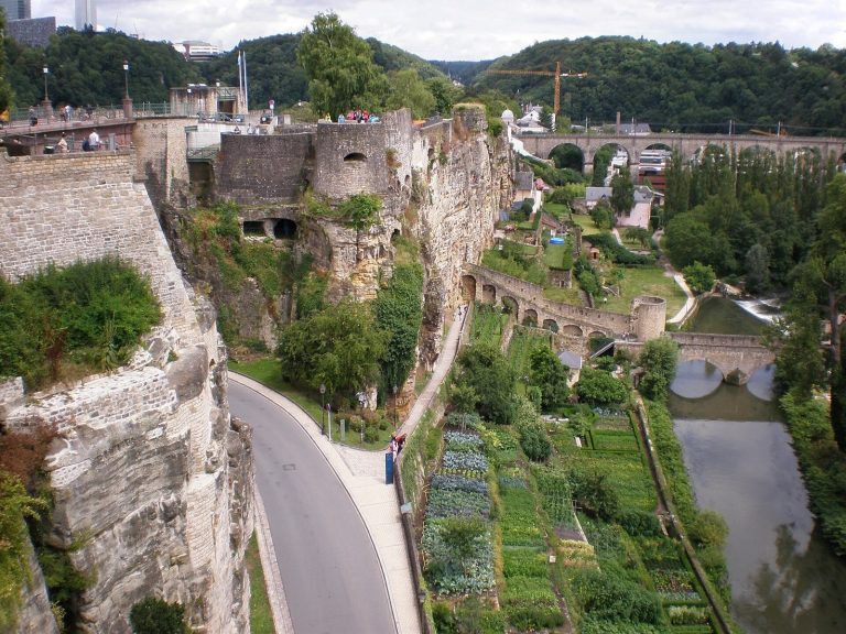
The fort’s position provides views over Luxembourg City, including Pfaffenthal and Clausen in the Alzette valley, as well as the opposite Corniche. Its elevated setting on Kirchberg formed part of the defensive landscape in which Fort Thüngen, Fort Obergrünewald, the ditch, and the underground trench operated.