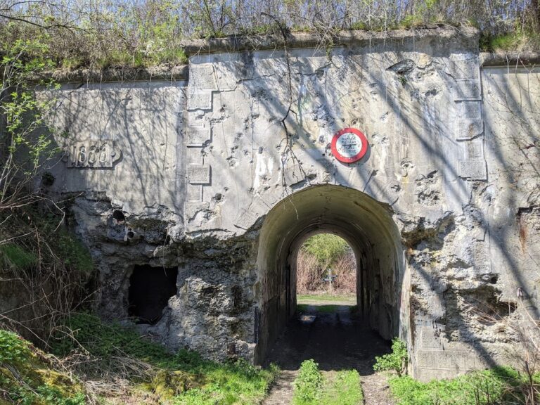
Fort de Saint-Héribert: A Brialmont Fort of Namur, Belgium


Site at a Glance
- Rating
- 4.6
- Popularity
- Very Low
- Country
- Belgium
- Primary era
- Modern
- External website
- Open
- Eras represented
- Modern
- Civilizations
- Belgian
- Site type
- Military
- Remains
- Fort
On this page13 sections
History
Fort de Saint-Héribert, also known as Fort de Wépion, is a late-nineteenth-century Belgian fort at Wépion, about 6 kilometres south of Namur, Belgium. Designed by Belgian general and military engineer Henri Alexis Brialmont, it was built between 1888 and 1892 as one of nine detached forts in the Fortifications of Namur, a defensive ring protecting the city and its approaches.
Construction and defensive purpose
Saint-Héribert was intended to defend Namur from the south and help prevent a renewed occupation by French forces. It was occupied by Belgian troops soon after completion. Unlike contemporary French forts associated with the Séré de Rivières system, it was built entirely of unreinforced concrete rather than masonry.
The fort stood southwest of Namur, a position that made it one of the forts least exposed to the initial German line of attack. It was one of two Namur forts defending the Entre-Sambre-et-Meuse side of the city, between Fort Malonne to the northwest and Fort Dave to the east.
The First World War
During the Battle of Namur in August 1914, Saint-Héribert was commanded by Captain-Commandant Camille Derzellez. Its garrison consisted of about 400 artillerymen and 80 fortress troops. German artillery began shelling the fort on 21 August. Telephone contact with the outside world was lost on 23 August, and Belgian troops positioned between the forts withdrew.
Saint-Héribert repelled a German infantry attack on 24 August. Heavy bombardment followed between 15:30 and 19:45, and the garrison surrendered at 21:00.
Modernization before the Second World War
In 1930, the fort was extensively modernized to deter or delay a possible German attack. The work improved its armament, protection, ventilation, sanitary facilities, communications, electrical power, and shelters for troops stationed between the forts. These changes altered the original artillery arrangement and equipped the fort for a different generation of warfare.
The Second World War
Captain-Commandant L’Entrée commanded Saint-Héribert during the Second World War. On 15 May 1940, the fort opened fire on nearby German positions, initially firing 50 rounds per hour and later raising the rate to 75 and then 120 rounds per hour. Supporting infantry withdrew that day, leaving the fort to operate alone, while an air attack struck during the afternoon.
The fort remained comparatively quiet on 16 and 17 May. German artillery attacked on 18 May, and Saint-Héribert returned fire against German artillery positions. Its concrete cover was damaged on 19 May, although the guns continued to fire on nearby observation posts. More intense bombardment caused further damage on 20 May.
During the early hours of 21 May, German troops moved through nearby woods under smoke cover and encircled the fort. Forts d’Andoy, de Malonne, and de Dave provided supporting fire, and the first infantry attack was repelled. German artillery was then brought within 500 metres, progressively disabling the fort’s turrets and observation positions.
Saint-Héribert continued to resist with machine guns in the ditches, but its diesel generators failed around midday, cutting external communications. The garrison sabotaged the remaining weapons, destroyed documents, and surrendered at 12:10. One person in the fort was killed. German losses, chiefly in the 317th Infantry Regiment, amounted to 129 killed and 602 wounded.
Postwar damage and rehabilitation
After the Second World War, Saint-Héribert was neither repaired nor rehabilitated. In the early 1960s, the Belgian Army used it for explosive tests, severely damaging its rooms and galleries. It was later sold to a scrap dealer, who removed usable metal. Inert waste was placed in the ditches until the fort was almost entirely buried.
A landslide later allowed speleologists to re-enter and explore the buried fort. Since August 2013, the private Fondation Emile Legros has been clearing earth from the entrance and ditches and restoring damaged sections. The work has left the fort only partly accessible while rehabilitation continues, and a small museum has been installed at the exit.
Remains
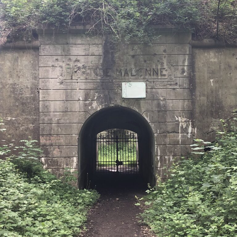
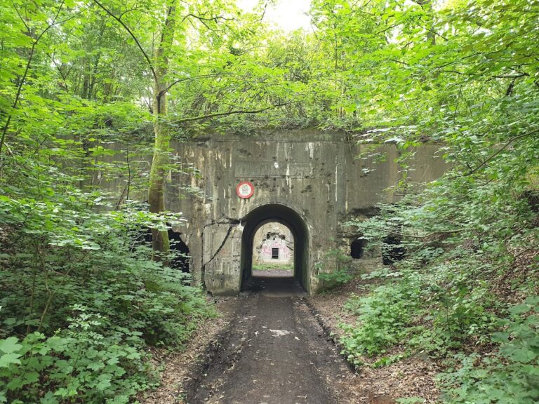
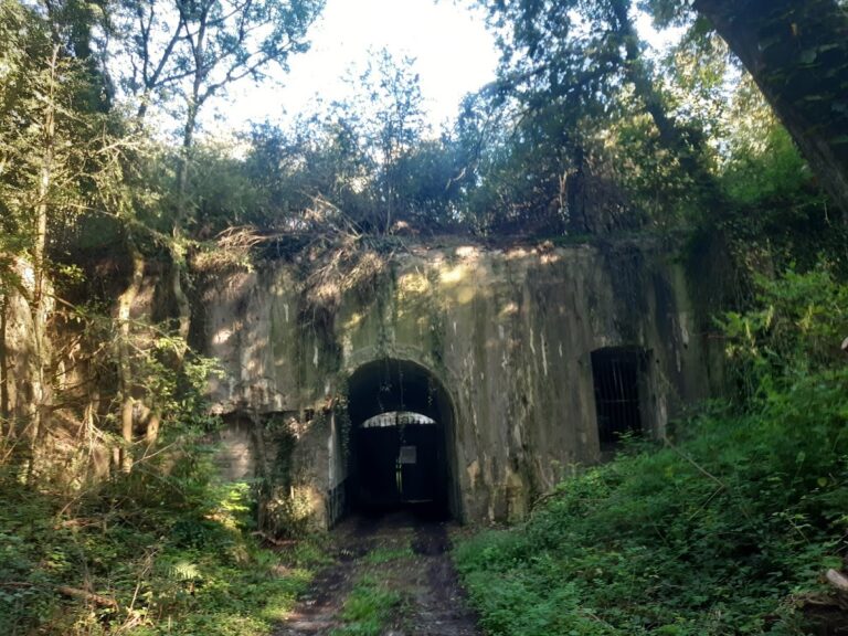
Saint-Héribert is a large, semi-buried concrete fort with a triangular plan measuring approximately 300 metres on each side. It stands at an elevation of about 245 metres. An encircling ditch, roughly 6 metres deep and 8 metres wide, surrounds the position. The fort’s concrete construction, internal arrangement, and surviving defensive works reflect the Brialmont system of detached forts.
Central massif and internal layout
The central concrete massif contained the fire-control office, magazines, and artillery turrets. Concrete over its most exposed areas was approximately 4 metres thick, while the walls of the less exposed barracks, or caserne, were about 1.5 metres thick. The design was intended to withstand bombardment by guns of up to 21 centimetres, although heavier artillery could damage it.
A lighting turret with an elliptical searchlight stood above the massif. Infantry defending the glacis used firing benches on its surface. The barracks opened towards the rear ditch, in the direction of Namur, and the service area lay opposite them. The counterscarp, the outer side of the ditch, contained the latrines, showers, kitchen, and morgue. The rear ditch also supplied light and ventilation to the living spaces.
Artillery and ditch defenses
Central artillery turrets
The original principal armament was concentrated in the central massif. Two retractable Grusonwerke turrets each carried a 21-centimetre Krupp howitzer. A Schneider-Creusot turret mounted two 15-centimetre guns, while two Châtillon-Commentry turrets each carried two 12-centimetre Krupp guns. Retractable, or disappearing, turrets could be lowered behind protective concrete after firing. Four corner turrets carried 57-millimetre Maxim-Nordenfelt guns.
Counterscarp and entrance defenses
Nine heavy machine guns were installed in counterscarp casemates. These positions could fire along the length of the ditch, sweeping an approaching force from the side. Six rapid-fire 57-millimetre guns and two mobile guns also defended the ditches and the rear entrance, or postern. The ditches were covered by guns firing from the counterscarp towards positions at the opposite end.
The original guns used black powder, whose choking gases could accumulate in the confined firing rooms and spread through the fort. Heavy artillery was generally manufactured by Krupp, while the turret mechanisms came from several manufacturers.
Modernized structures and systems
The 1930 modernization replaced the 15-centimetre turret with a twin 75-millimetre long-range turret. The retractable 57-millimetre turrets were replaced by retractable 75-millimetre turrets, and the two 12-centimetre turrets were re-equipped with twin machine guns. The two howitzer turrets were filled in. Two machine-gun positions were added at the entrance, together with two twin machine-gun turrets, observation cupolas, and six anti-aircraft positions.
Diesel engines and generators supplied electrical power. Ventilation was improved, including an air intake in a nearby ravine. Nine observation posts and shelters for troops stationed between the forts were added in the surrounding area. Communication with neighbouring forts used light signals, including Morse signalling. Observation personnel also used telephones to relay information from nearby church towers, crossroads, and elevated points.
Surviving and restored areas
The entrance and portions of the ditches have been cleared of earth, and some damaged visible sections have been restored. The fort remains partly buried after the postwar filling of the ditches and damage caused by explosive testing. Nature routes cross the superstructures, while the small museum at the exit forms part of the present interpretation of the site.