Fort De Gagel: A Defensive Fort of the Nieuwe Hollandse Waterlinie

Site at a Glance
- Rating
- 4.6
- Popularity
- Low
- Country
- Netherlands
- Primary era
- Modern
- External website
- Open
- Eras represented
- Modern
- Civilizations
- Dutch
- Site type
- Military
- Remains
- Fort
On this page9 sections
History
Fort De Gagel is a Dutch fortification in Utrecht, Netherlands, constructed as an earthen work between 1819 and 1821 as part of the Nieuwe Hollandse Waterlinie. This defensive system used controlled flooding, forts, dikes, canals, and sluices to protect the western Netherlands. Fort De Gagel was intended to close and defend the Gageldijk and Kerkeindsche Dijk, flank the Klopdijk, and support the defence of the inundation canal and sluice works of the Klopvaart.
Construction and nineteenth-century improvements
The first fort consisted of earthworks with artillery positions and a surrounding moat. It had no buildings at that stage. Around 1.5 kilometres to the southwest stood Fort aan de Klop, while Fort Ruigenhoek was built to the east during the third construction phase of the Nieuwe Hollandse Waterlinie.
Between 1850 and 1852, the fort acquired a square bombproof watch house, a structure designed to withstand artillery bombardment. Further improvements followed around 1880. The watch house was altered, part of its moat was filled, and a two-storey bombproof barracks and a covered military storage building, known as a remise, were added.
Military readiness and later use
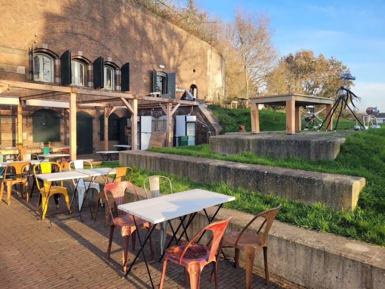
Fort De Gagel was placed in a defensive state three times: during the Franco-Prussian War in 1870, the conflict between France and Prussia that reshaped the balance of power in Europe; during the Dutch mobilization of 1914; and during the final activation in 1939 and 1940, shortly before and during the opening phase of the Second World War. Three reinforced-concrete Type P group shelters and trench systems were added at that time. During the development of Utrecht’s Overvecht district, the municipality took the fort over from the state in 1971. Since 2022, it has had a public function as a restaurant and events venue. Fort De Gagel is protected as a national monument under Dutch heritage law, with ten components within the fort and three nearby components of the Nieuwe Hollandse Waterlinie included in the national monuments register.
Remains
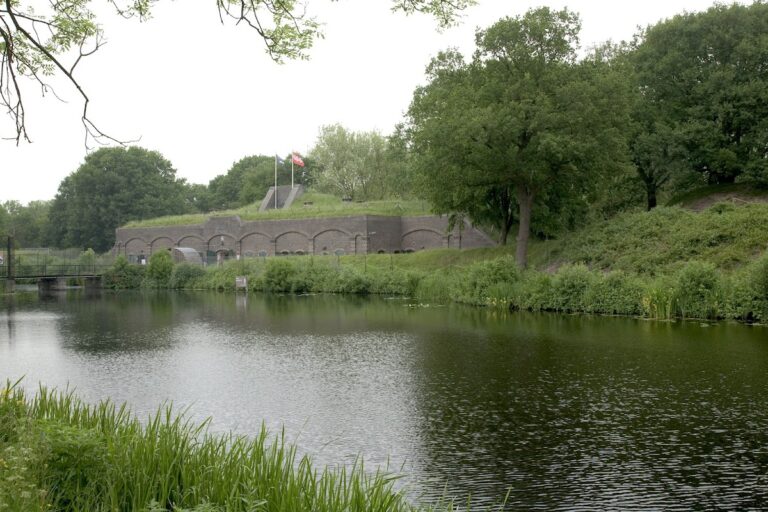
Fort De Gagel survives as an earthen work enclosed by a moat, with defensive positions, buildings, shelters, and trenches arranged across the site. Its rear, or gorge (the rear side of a fort), faces southwest, while its front faces northeast. The earthworks contain the artillery positions of the original fort, and later trenches run through the interior and along the ramparts.
Bombproof fort buildings
Watch house
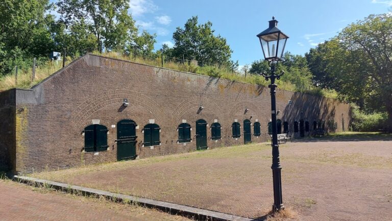
The square watch house was built in 1850 to 1852 and measures 16 metres by 16 metres. Its brick construction includes masonry walls 1.5 metres thick and rounded corners. Designed to resist artillery bombardment, it provided space for two guns. Loopholes in the walls allowed cannon and rifle fire. Later alterations included the removal of the parapet on the roof, and the moat around the structure was partly filled in.
Barracks and remise
The two-storey bombproof barracks and the remise were added during the fort’s improvements around 1880. Together they formed part of the later built military infrastructure within the earlier earthen enclosure. The remise was a covered storage building for artillery or other equipment.
Twentieth-century shelters and trenches
Type P group shelters
Three Type P group shelters were built side by side north of the barracks in 1939 and 1940. Made of reinforced concrete, they belong to the fort’s final phase of military preparation. Trenches from the same period extend through the open interior and along the earthworks.
Nearby sites